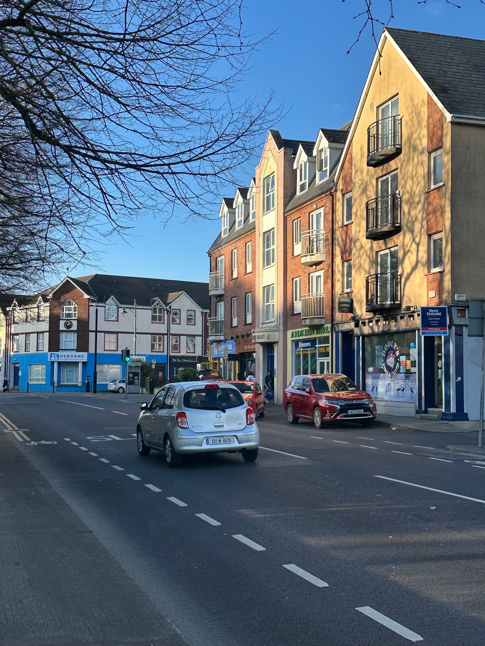
County Waterford sits in the south east of Ireland, where the River Suir meets the sea. The city is the county's hub, but the coast west of it is quieter, with coves, cliffs and the old copper mining country around Bunmahon.
Waterford city
Waterford is one of the older cities on the island, founded by Norse traders and later walled by the Anglo-Normans. The city centre keeps a tight medieval street pattern, with the quays along the Suir and a long waterfront that has been reworked in recent years. The river is still a working channel, and ships pass close to the streets.
The Viking Triangle is the historic core, a small area between the river and the old walls. It holds the Bishop's Palace, the Medieval Museum and Reginald's Tower, a round stone tower at the corner of the walls. The three sites sit within a few minutes of each other on foot, so a single morning covers the group.
Reginald's Tower is run by the Office of Public Works and is ticketed. The tower is the oldest civic building in the city and now holds a museum on Waterford's Viking and medieval past. The Medieval Museum displays the cloth of gold vestments, kept in the city since the sixteenth century. Check opening times with the OPW before visiting.
Museum opening hours vary by season. Check the Office of Public Works and Waterford Treasures before planning a day in the Viking Triangle.
The Waterford Greenway
The Waterford Greenway runs from the city out to Dungarvan on a former railway line, a traffic-free route of about 46 kilometres. It crosses the Suir near the start, then follows the old trackbed west through farmland and along the base of the hills. The line closed in the twentieth century, and the surface is now smooth enough for most bikes.
The route passes the village of Kilmacthomas, where a stone viaduct carries the path high over the River Mahon. A tunnel near the village is lit and open to walkers and cyclists. The viaduct is a good place to stop for a view down the valley, and the village has places to eat.
Bike hire is available in Waterford and Dungarvan, and the surface is suitable for most bikes. The full route takes a half day or more at an easy pace, and there are villages with cafes along the way. The section between Waterford and Kilmacthomas is the busiest, and it is worth starting early in summer. Check with the local authority or Transport for Ireland for current route information.
The greenway is popular at weekends. Bikes can be hired at either end, but booking ahead is wise in summer.
The Copper Coast
The Copper Coast is a stretch of coast between Tramore and Dungarvan, named for the copper mines that operated there in the nineteenth century. It was designated a UNESCO Global Geopark for its geology and mining heritage. The designation covers the cliffs, beaches and old mine sites along the shore.
The cliffs and beaches here show layers of rock laid down hundreds of millions of years ago, folded and tilted by later earth movements. Old engine houses and mine shafts stand above the coves at Bunmahon and Tankardstown. The stone walls of the mine buildings are a reminder of how busy the coast once was.
The Copper Coast Geopark visitor centre at Bunmahon explains the mining history and the geology. Walking routes follow the cliff tops and drop to small beaches, and the coast road between the villages is a slow, scenic drive. Some coves are cut off at high tide, so check tide times before walking the shore.
Dungarvan and the west
Dungarvan is the county's second town, set at the head of a wide bay where the River Colligan reaches the sea. It has a long quayside, a square in the centre and a good spread of places to eat. The town is a natural stopping point on the coast road west towards Cork.
The town is a useful base for the west of the county. The Comeragh Mountains rise inland, with walking routes to Lough Mohra and the Mahon Falls, and the coast east and west of the town has beaches and small harbours. The falls drop from a high corrie and are reached by a short walk from the car park.
Dungarvan Castle, a Norman keep in the town centre, is run by the Office of Public Works. The castle grounds are free to walk, and the tower holds a small exhibition on the town's history. The town also has a farmers' market and a reputation for local food producers.
The Mahon Falls car park fills on fine weekends. Go early, and check weather and road conditions with Met Éireann before hill walks.
Tramore and the east
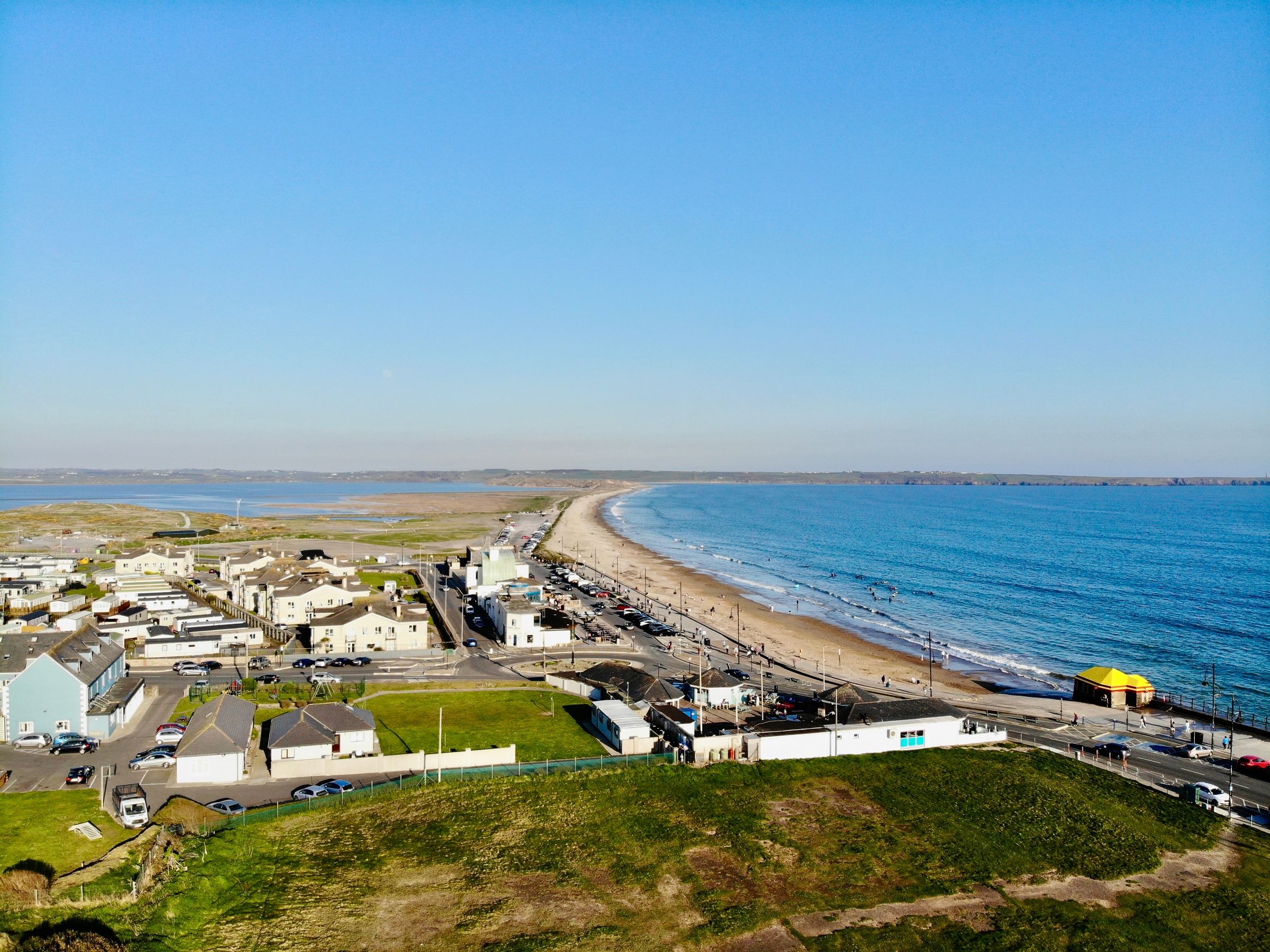
Tramore is the main seaside town in the east, with a long beach backed by dunes and a promenade above the strand. It has been a resort since the railway reached it in the nineteenth century. The town is close enough to Waterford city for a short trip out.
The beach at Tramore is popular with surfers, and there are surf schools in the town. Behind the town, the Doneraile Walk follows the cliffs above the sea towards the headland. The walk is short and gives views back over the bay and the town.
Inland from Tramore, the River Suir opens into Waterford Harbour, and the villages along the estuary look across to County Wexford. Passage East and Cheekpoint are small places with quays and views over the water. A short ferry crosses the estuary to Wexford, and the crossing is a useful link for drivers heading east.
Food and Irish
Waterford is known for its food, particularly around Dungarvan, where the farmers' market and local producers have a following. The greenway has made the county a stopping point for cyclists and walkers. Cheese, bread and seafood from the county appear on menus in the city and along the coast.
The county has a Gaeltacht area at Ring, west of Dungarvan, where Irish is still spoken. Road signs in the area are in Irish only, and there are Irish language courses and summer colleges. The area is small, and the language is strongest among older residents and in the colleges.
The Waterford name is also associated with glassmaking, which has been part of the city's economy since the eighteenth century. The visitor centre in the city explains the craft and its history. Pieces made in the city are displayed there, and the story of the industry is told through the collection.
Getting there and around
Waterford city is on the N25 road from Cork and the M9 motorway from Dublin. The city has a railway station with connections to Dublin and Limerick, and bus services run from the city to Dungarvan and along the coast to the smaller villages. The station sits across the river from the centre, a short walk away.
The nearest airport is Cork, with Dublin also within reach by road or rail. Timetables change, so check with Iarnród Éireann or Bus Éireann before travelling, and allow for the fact that many rural services run only a few times a day. Transport for Ireland has a journey planner that covers the county.
A car is useful for the Copper Coast and the Comeragh Mountains, where public transport is limited. The greenway gives a car-free option between the city and Dungarvan, and bikes can be hired at both ends of the route. Traffic drives on the left, and distances in the Republic are in kilometres.