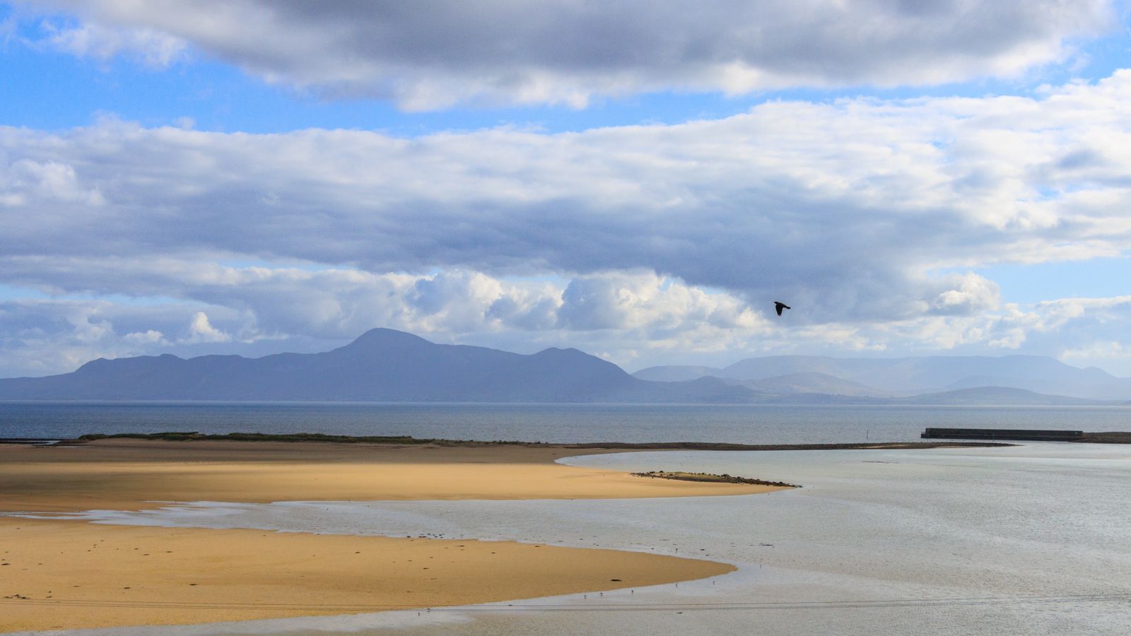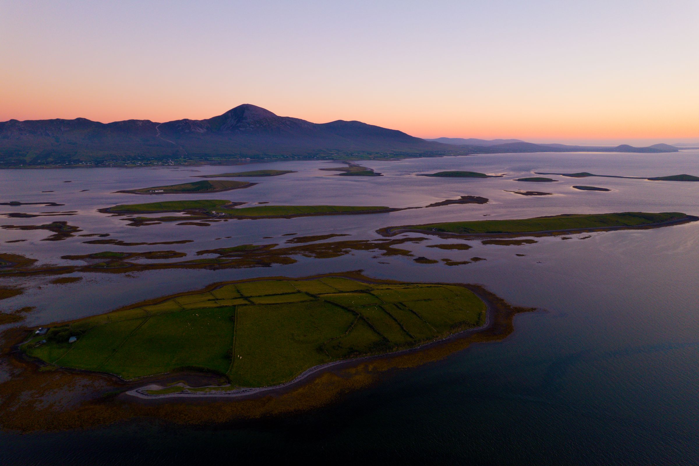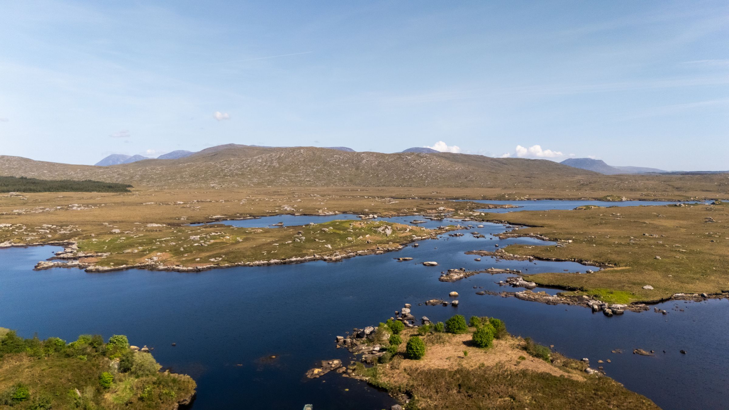


Much of Ireland's carbon is held where the ground stays wet: in raised and blanket bogs, in the last old woods and hedgerows, and along the Atlantic and Irish Sea shores.
Why carbon matters in Ireland
Ireland's wet, mild climate keeps much of the island green through the year, and the same wet ground is where the country holds much of its carbon. Peatlands cover about a fifth of Ireland's land area, a larger share than in most European countries. According to the EPA, peat soils hold a large share of the carbon stored in Irish soils. Understanding how that carbon got there, and how easily it can be released, helps a visitor read the landscape with a little more care.
A bog is not simply wet ground. Peat forms very slowly from waterlogged, partly decayed plants, mainly sphagnum moss, built up over thousands of years since the end of the last Ice Age. Because the ground stays wet, the plant matter does not fully rot, so the carbon it took from the air stays locked in the peat. That is why a bog can be thought of as a store built up over a very long period and lost far more quickly once it is drained or cut.
The climate that built those stores is itself changing. Met Éireann records show Ireland's climate has warmed over the past century, and climate projections point to wetter winters, more frequent heavy rain and rising seas around the coast. Those changes matter for peatlands, for woodland and for coastal habitats, and they sit alongside the wider question of where Ireland's emissions come from.
The EPA publishes Ireland's greenhouse gas inventory and projections. In its figures agriculture is the largest source of emissions, followed by transport and energy. For a visitor, that picture is a useful starting point rather than a verdict: it shows that how people travel to and around the country, and how land is managed, both form part of the same account. The sections that follow look at each part of that account in turn.
None of this requires a visitor to become an expert. A little background makes a difference to what you notice on a walk across a midland bog, in an old oak wood or along a coastal marsh, and to the choices you make about how to move around the island. The rest of this page sets out the facts as they stand, without overstating what is known and without putting a single figure on the carbon cost of a trip.
Raised bogs and blanket bogs
Ireland has two main kinds of bog. Raised bogs are domes of peat that formed in old lake basins, mostly in the midlands. Clara Bog in County Offaly is a nature reserve with a boardwalk, and it shows the classic raised form clearly. Blanket bogs cover hills and lowland in the wetter west and on mountains, for example in Connemara, in Mayo at Ballycroy National Park and on the Wicklow Mountains.
Raised and blanket bogs grow in the same way, one thin layer of sphagnum and sedge at a time, but they hold their water differently. A raised bog is fed almost entirely by rain and sits above the surrounding land, while blanket bog depends on the constant rainfall and cloud of the west and the uplands. Both stay wet enough that dead plants do not fully rot. According to the EPA, peat soils hold a large share of the carbon stored in Irish soils, which is why the condition of these places matters well beyond their own boundaries.
The risk comes when the water table falls. When a bog is drained or cut, air reaches the peat, it dries and decomposes, and the stored carbon is released as carbon dioxide. That can happen through deliberate drainage, through cutting, or through erosion and drying on exposed upland. Rewetting, which means blocking drains so the water table rises again, can slow or stop that loss and, over time, let sphagnum grow again. Recovery should not be assumed to be quick: it takes many years.
NPWS, the National Parks and Wildlife Service, looks after protected raised and blanket bogs, many of them designated Special Areas of Conservation, and runs restoration work on the protected sites. For a visitor, that work is often visible in small ways, such as blocked drains, removed scrub or new boardwalk. Staying on boardwalks and marked paths matters here, because sphagnum is easily damaged and the ground can be deep and wet.
From cutting peat to rewetting it
For decades Bord na Móna, a state-owned company, cut peat in the midlands for power stations and fuel. That work shaped whole landscapes and many local economies. It ended peat harvesting in 2021, and the company moved to renewable energy, recycling and land rehabilitation. It was a significant shift in Irish land use, and its effects are still working through the midlands.
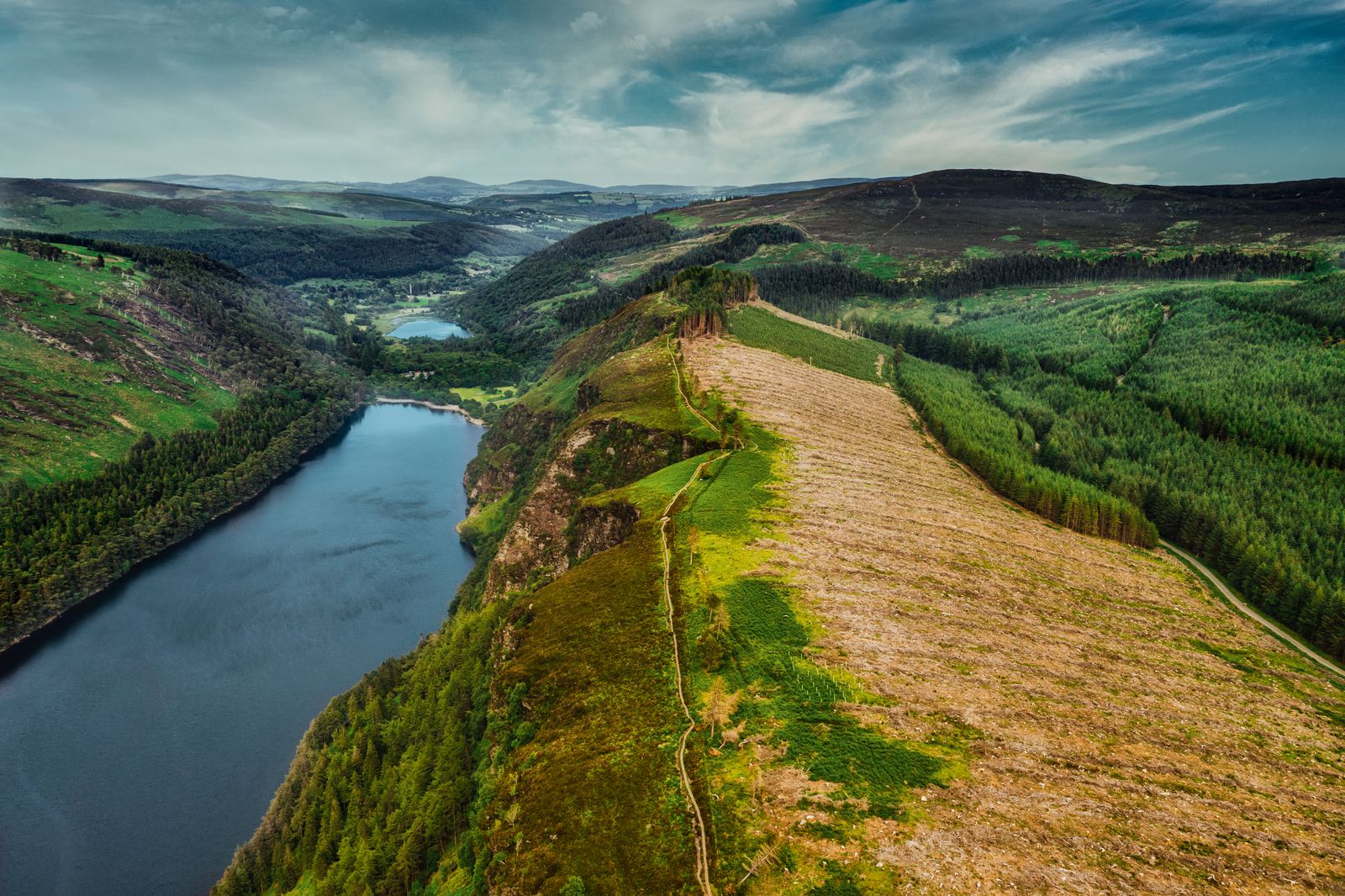
Under the Peatlands Climate Action Scheme, Bord na Móna is rewetting and rehabilitating tens of thousands of hectares of its former production bogs. The work is the same in principle as on a protected bog: drains are blocked so the water table rises, the bare peat stops drying out, and over time sphagnum and other bog plants can return. A rewetted cutaway takes many years to settle, and it will not look like an intact raised bog for a long time.
Some of that former ground is now open to visitors. Lough Boora Discovery Park in County Offaly is a former cutaway bog now open for walking and cycling. It gives a sense of what rehabilitation looks like on the ground, with paths across ground that was once worked for peat. It is a useful counterpoint to a visit to a protected raised bog, because the two show different stages of the same story.
For travellers, the midlands are often passed through rather than stopped in. The former production bogs and the rehabilitation work around them are one reason to break that habit. A walk or cycle on a cutaway site, followed by a look at a protected bog such as Clara Bog, gives a fuller picture than either would alone, and both lie in County Offaly, in the middle of the country.
It is worth being careful about expectations. Rehabilitation is a long process, and a rewetted cutaway does not look like an intact raised bog. What a visitor sees is work in progress: open water where drains have been blocked, bare peat slowly greening over, and paths laid across ground that was once worked by machine. That unfinished look is part of its interest.
Native woodland and hedgerows
Ireland is one of the least wooded countries in Europe. Most of its forest is planted conifer, and native woodland is a small fraction of the total. That makes the surviving old native woods especially valuable, both for wildlife and for the carbon they hold in wood and soil. For a visitor, it also means that a stand of old native trees is a rarer sight than the greenness of the country might suggest.
Killarney National Park in County Kerry holds some of the largest remaining areas of old native woodland in Ireland, including oak woods and a rare yew wood. Glenveagh National Park in Donegal also has native oak woodland. Both are places where the difference between native woodland and planted conifer is easy to see once you know what to look for, and both reward a slow visit rather than a quick stop.
Hedgerows are a defining feature of Irish farmland. They store carbon in woody growth and in the soil beneath them and give shelter and corridors to birds, insects and small mammals. A hedgerow is easy to overlook from a car window, but it is a widespread carbon-holding feature of the countryside, and it links one patch of habitat to another across land that would otherwise be open.
Hedgerows are also protected in a practical way. Under the Wildlife Acts, cutting hedgerows and burning vegetation on uncultivated land are not allowed from 1 March to 31 August, the nesting season. This is a general rule rather than a complete account of the law, and exemptions exist, but it explains why so many hedges are left uncut through spring and summer. Visitors should take it as a reason to keep well back from nesting birds and not to disturb vegetation at that time.
The connection between woodland, hedgerows and carbon is not only about the trees themselves. Soil, dead wood and the shade and shelter a hedge provides all form part of the picture, and the science of how much is stored where is still developing. What is clear is that old native woodland and long-established hedgerows are slow to replace, which is the main argument for looking after the ones that remain.
Blue carbon on Irish coasts
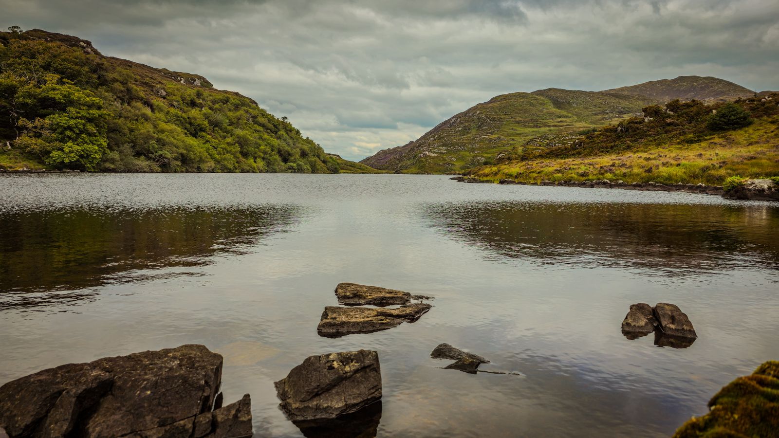
Blue carbon is the carbon stored by coastal and marine habitats. In Ireland that means seagrass meadows, known here as eelgrass, in sheltered bays and estuaries; saltmarshes, for example on North Bull Island in Dublin Bay; and kelp forests along rocky Atlantic shores. These habitats are less familiar to most visitors than bogs or woods, but they form part of the same account of where carbon is held around the island.
Seagrass and saltmarsh store carbon in the sediment beneath them, and seagrass shelters young fish. That combination of storage and nursery habitat makes these areas important beyond their size. A saltmarsh may look like rough ground at the edge of an estuary, and a seagrass meadow is usually invisible from the shore, but both are working habitats rather than waste ground.
Kelp is a different case. Kelp grows quickly and takes up carbon, but much of it drifts away when it breaks off, and scientists are still working out how much ends up stored long term. That uncertainty is worth stating plainly. Research on Irish blue carbon is still developing, so this page gives no figures for how much carbon any of these habitats holds or loses.
For a visitor, the practical point is that these habitats are easily damaged by trampling, anchoring and careless access. Saltmarsh in particular is fragile underfoot, and seagrass beds can be cut by anchors and propellers. Keeping to paths and beaches, and following local guidance around estuaries and bays, is a simple way to limit impact. North Bull Island in Dublin Bay is a good place to see saltmarsh without going far from the city.
The wider message is that Ireland's carbon story is not only a story about land. The coast and the sea around the island hold carbon too, and the science of how much and for how long is still being worked out. Treating blue carbon claims with caution is not scepticism; it reflects the state of the research.
Ireland's climate targets in outline
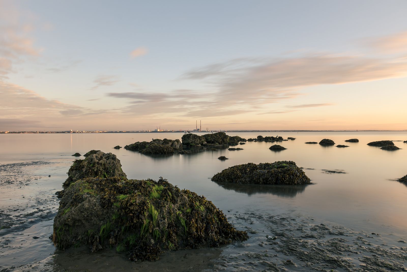
Ireland has a legally binding target, set in climate law in 2021, to cut greenhouse gas emissions by just over half by 2030 compared with 2018, on a path to 2050. A Climate Action Plan sets out the measures and is updated regularly. Those two facts frame most of the public discussion of carbon in Ireland, and they explain why peatland restoration, woodland and transport all appear in the same conversation.
The EPA publishes Ireland's greenhouse gas inventory and projections. In its figures agriculture is the largest source of emissions, followed by transport and energy. That ordering is worth keeping in mind when reading about travel, because it shows that transport is one part of a larger picture rather than the whole of it. It does not make travel choices unimportant; it places them in context.
On the energy side, SEAI, the Sustainable Energy Authority of Ireland, tracks the energy system. Wind power supplies a large share of Ireland's electricity, and on a windy day the turbines on the hills of the west and the midlands are part of the view. That makes the electricity behind a train ride, a charged hire car or a hotel room cleaner than it would have been a generation ago.
Land use sits alongside these figures. Because peat soils hold so much of the country's soil carbon, rewetting former production bogs and protecting the remaining ones count towards the wider effort, even though the accounting is complex and the results take many years to show. Woodland and hedgerows sit in the same land-use account.
For a visitor, the targets are background rather than a call to action. They explain why cutaway bogs in the midlands are being rewetted, why so much is said about transport and farming, and why the choices made on a trip, from the train to the length of a stay, are part of a wider national conversation.
The footprint of a trip
Most visitors from abroad arrive by air, and for most trips the flight is usually by far the largest part of the trip's carbon footprint. That single fact shapes everything else. Choices made on the ground matter, but they are usually working on a smaller part of the total than the journey to the island. Being clear about that ordering is more useful than treating every choice as equal.
Ferries from Britain and France are an alternative for some. They are not practical for every origin or every itinerary, and no single figure compares a crossing with a flight for every route. What can be said is that, for travellers who can use them, a ferry replaces the flight with a sea crossing and can bring a car or a bike across, which changes the shape of the whole journey.
Once in Ireland, a hire car driven around the country adds more than rail or coach for the same journey, especially with one or two people in it. That is a general point rather than a figure, and it holds most clearly where a car is used for long distances with few passengers. A car remains useful for some places, particularly in the west and in rural areas, but it is not the only option.
The pattern of a trip matters as much as the mode of transport. Staying longer in one or two bases, rather than moving every night, cuts the driving and lets a trip use local buses, walks and bikes. A tour that hops between distant towns each day generates more travel than one that settles in a place and explores it slowly, even if the total distance looks similar on a map.
None of this is a reason to stay at home. It is a reason to think about the shape of a trip before booking, and to weigh the flight, the ferry option, the bases and the local transport together. The next section sets out the practical choices in more detail, including the rail, coach and greenway options that make a car-free trip feasible in many parts of the country.
What travellers can do
Travelling without a car is easier than many visitors expect. Iarnród Éireann, also known as Irish Rail, runs intercity trains from Dublin to Cork, Galway, Limerick, Westport, Killarney, Waterford and Sligo. Bus Éireann Expressway coaches reach towns the railway does not, TFI Local Link runs rural buses, and the Transport for Ireland journey planner covers routes across the Republic. Together these make a car-free itinerary possible in many parts of the country, though not in all.
Greenways are traffic-free cycling and walking routes, many on old railway lines. The Great Western Greenway follows the coast from Westport towards Achill, and the Waterford Greenway links Waterford city with Dungarvan. Bikes can be hired at the main trailheads. A greenway day is a low-stress way to see a stretch of countryside, and it pairs well with a train or coach journey to the start.
Staying longer in one or two bases, rather than moving every night, cuts the driving and lets a trip use local buses, walks and bikes. That single change often does more than any other to reduce the travel involved in a trip, and it tends to make for a better holiday as well. The guide to choosing a base sets out the main options for a first visit.
On bogs, stay on boardwalks and marked paths, because sphagnum is easily damaged and the ground can be deep and wet. Never light fires, as spring wildfires on dry upland bog and heath are a recurring problem, and take all litter away. These follow the Leave No Trace principles. On cliffs and coast, keep to marked paths and behind barriers, for example at the Cliffs of Moher, keep well back from cliff edges in wind, and give nesting seabirds such as puffins space in spring and early summer.
On booking: every hotel booking made through IMPT funds one tonne of verified CO₂ offset, retired against a registered climate project, included in the price. Offsetting complements, and does not replace, travelling lighter. It is one part of a trip's account, not a substitute for the choices described above, and it does not change what the flight or the driving adds.