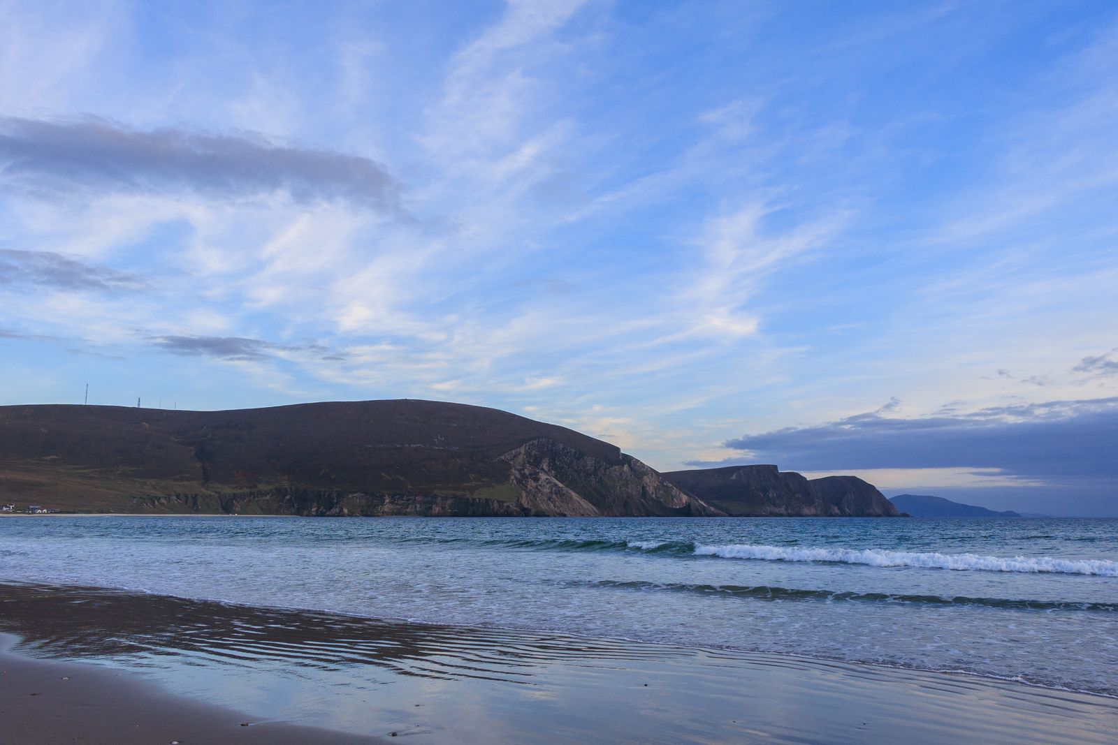
Westport sits where the road from Castlebar meets the inner end of Clew Bay. The town was laid out in the Georgian period, with a broad mall and a river running through it, and Croagh Patrick rises behind it to the south. It is the usual base for this part of County Mayo.
The planned town
Westport is one of the few planned towns in Ireland. The core was laid out in the late eighteenth century for the Browne family of Westport House, with a wide mall, a small octagonal market house and straight streets running down to the river Carrowbeg. The river was channelled through the town in stone banks, and three bridges cross it within a short walk of each other.
The streets keep much of their Georgian and Victorian character, with rendered shopfronts and a few taller stone buildings. The town is compact and level, so it is easy to walk from one end to the other in a quarter of an hour. Most of the shops, cafes and pubs are on Bridge Street, Shop Street and the streets around the Octagon.
The mall, known as the North Mall and South Mall, is a tree-lined open space beside the river. It is a public park, free to walk, and a useful landmark when finding your way around. The streets behind it hold the bulk of the town's accommodation and places to eat.
Croagh Patrick
Croagh Patrick is a quartzite peak of 764 metres that rises directly from the coastal plain south of Westport. It is a place of pilgrimage, linked to Saint Patrick, and a traditional penitential climb takes place at the end of July. The mountain is public land and free to walk, though the upper section is steep and loose.
The main route starts from the car park at Murrisk, on the coast road about eight kilometres from town. The path is well worn and busy on fine days. The final pull to the summit is over scree and needs care in wind or rain. A small chapel stands on the top, and the view takes in Clew Bay and its islands.
Weather on the mountain changes quickly. Cloud can cover the summit while the town is clear. Walkers should carry waterproofs and check the forecast from Met Éireann before setting out. The climb is a half day for most people, and the descent is harder on the knees than the way up.
The summit path is exposed and loose near the top. Check the mountain forecast from Met Éireann and tell someone your plan before climbing.
The Great Western Greenway
The Great Western Greenway is a traffic-free walking and cycling route that follows the line of an old railway from Westport to Achill. It runs for about forty kilometres through Newport and Mulranny, passing along the shore of Clew Bay and across open moorland. The surface is mostly smooth and the gradients are gentle.
Bicycles can be hired in Westport and in a few places along the route. The full distance is a long day out, but shorter sections suit an afternoon. The stretch from Westport to Newport is the most sheltered, with views across the bay to the islands. The middle section around Mulranny is more open to the wind.
The greenway is part of the wider network of rural routes promoted by Fáilte Ireland. It is free to use. Walkers share the path with cyclists, so keep to the left and take care at road crossings. There are villages with cafes at intervals, but services thin out in the western half.
Clew Bay and its islands
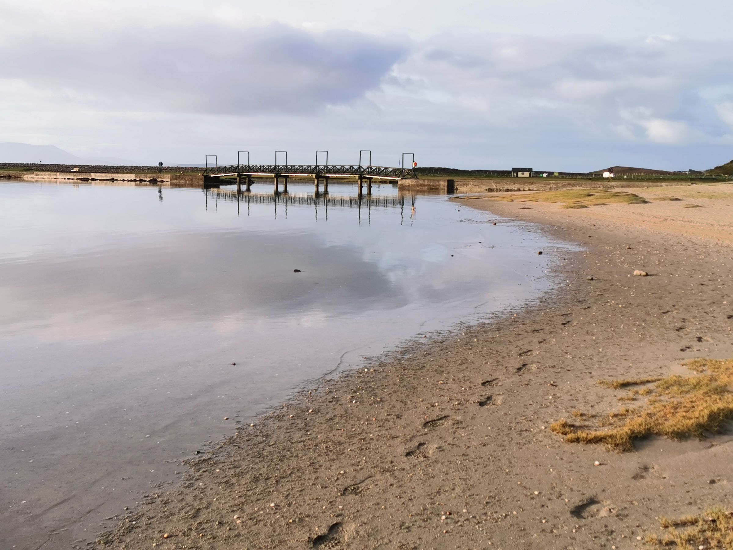
Clew Bay is a wide inlet studded with small drumlin islands, many of them drowned by the sea after the last ice age. The number is often given as 365, though the count depends on the tide. The bay is sheltered by Achill Island and the Mullet Peninsula to the west, and its inner waters are shallow and calm.
The coast road from Westport to Louisburgh and on to Doo Lough passes under the mountain and gives long views over the water. Beaches at Bertra and Old Head are sandy and open to the Atlantic, with parking beside them. Swimming is possible but the water is cold and there are no lifeguards outside the summer season.
Boats run from Westport harbour for angling and sightseeing in the bay. Check with the operator for times, as sailings depend on weather and season. The quay is also a pleasant walk from the town centre, with views back to the mountain.
Westport House and demesne
Westport House stands in a wooded demesne east of the town centre, beside the inner harbour. The present house was built in the eighteenth century on the site of an earlier castle associated with Grace O'Malley, the sixteenth-century chieftain of Connacht. The house is ticketed and opens seasonally, with the state rooms and the grounds open to visitors.
The grounds include parkland, a small lake and walks down to the water. Some areas are open to the public without charge, while the house and certain attractions carry a fee. Opening arrangements change, so check with the estate before travelling. The demesne is a short walk from the town along the quay, and it is a useful place for an easy stroll when the weather is unsettled.
The house and its parkland are a reminder that Westport was a planned estate town. The Browne family laid out the streets and the mall, and the house remained their seat for generations. The connection explains the town's orderly plan and its wide central spaces.
Choosing a base
Westport itself is the natural base for this part of Mayo. It has the widest choice of accommodation, shops and places to eat, and it sits at the start of the greenway. The town is also within easy reach of Croagh Patrick and the coast road to Louisburgh.
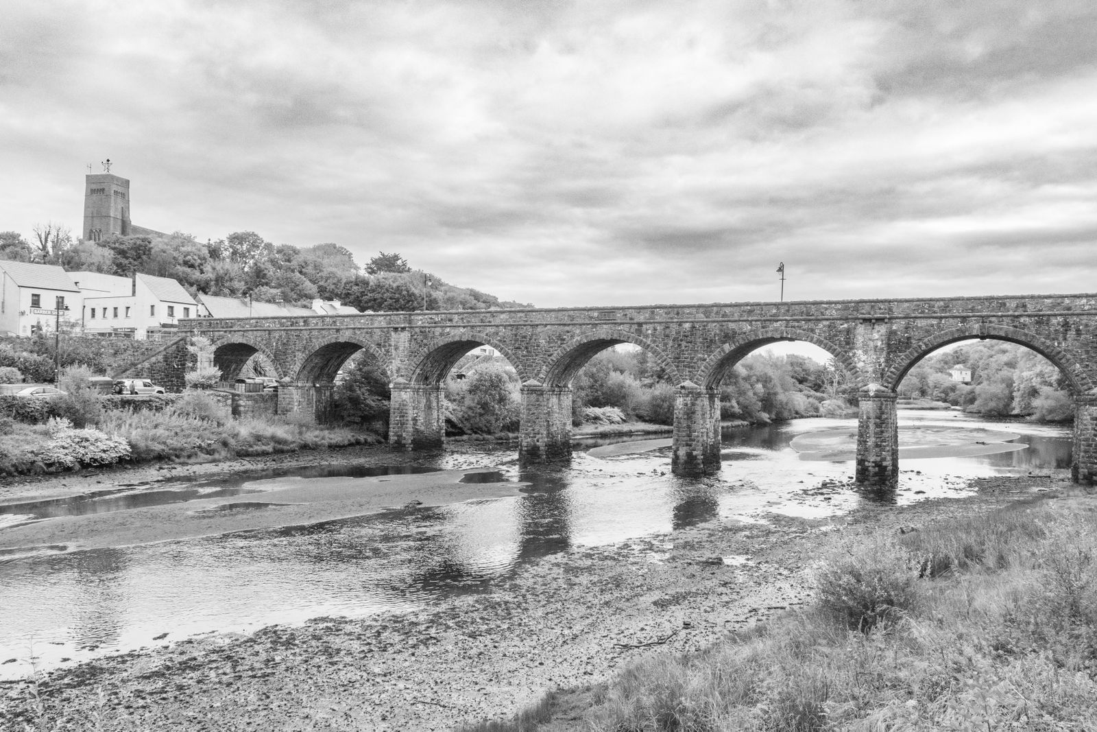
Newport, about eleven kilometres to the west, is a smaller town on the greenway with its own harbour and a seven-arched bridge. It suits a quieter stay and is well placed for the middle section of the greenway and for Clew Bay.
Further west, Mulranny and Achill Island offer coastal scenery and access to beaches. Castlebar, the county town, is about eighteen kilometres east and has more services, though it is less convenient for the mountain and the bay. For a first visit, Westport is the simplest choice.
Book accommodation early for the July pilgrimage and for summer weekends, when demand in Westport is high. Check the town's own noticeboards for events.
Getting there and around
Westport is on the N5 road from Dublin and the N59 from Galway. The town has a railway station on the line from Dublin via Castlebar, with trains operated by Iarnród Éireann. Bus Éireann coaches also serve the town, and TFI Local Link buses connect smaller places in the county.
The nearest airport is Ireland West (Knock), about forty-five minutes by road. Dublin and Shannon airports are further but have more flights. Driving is on the left, and distances and speeds are in kilometres and km/h in the Republic.
Within the town, everything is walkable. For the greenway and the coast, a bicycle or a car is useful. Timetables change, so check with Iarnród Éireann or Bus Éireann before travelling. Transport for Ireland has a journey planner that covers the local routes.