RegisterFind a stay
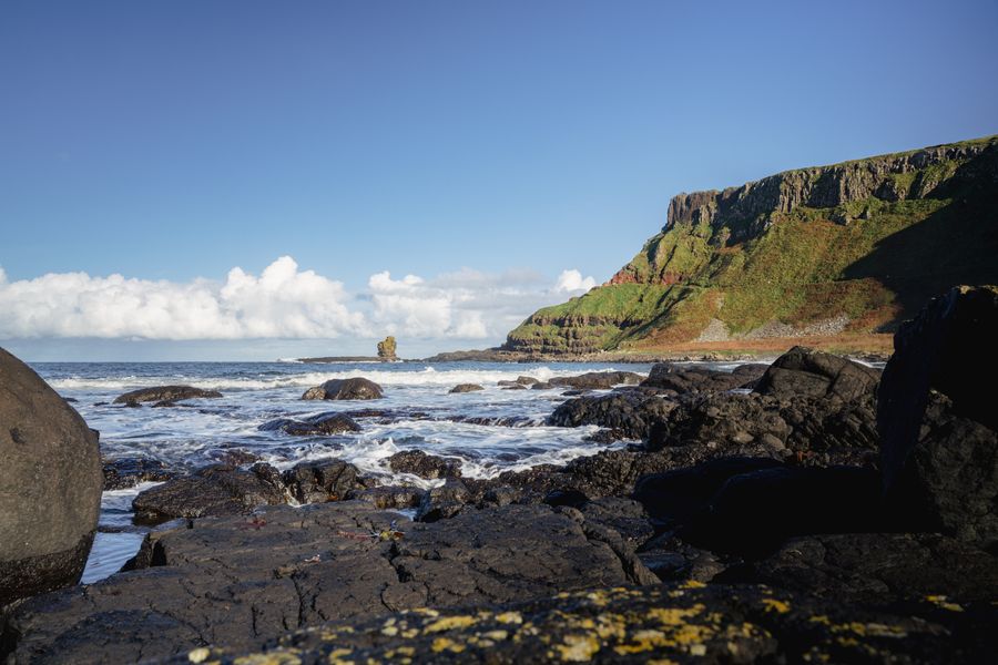
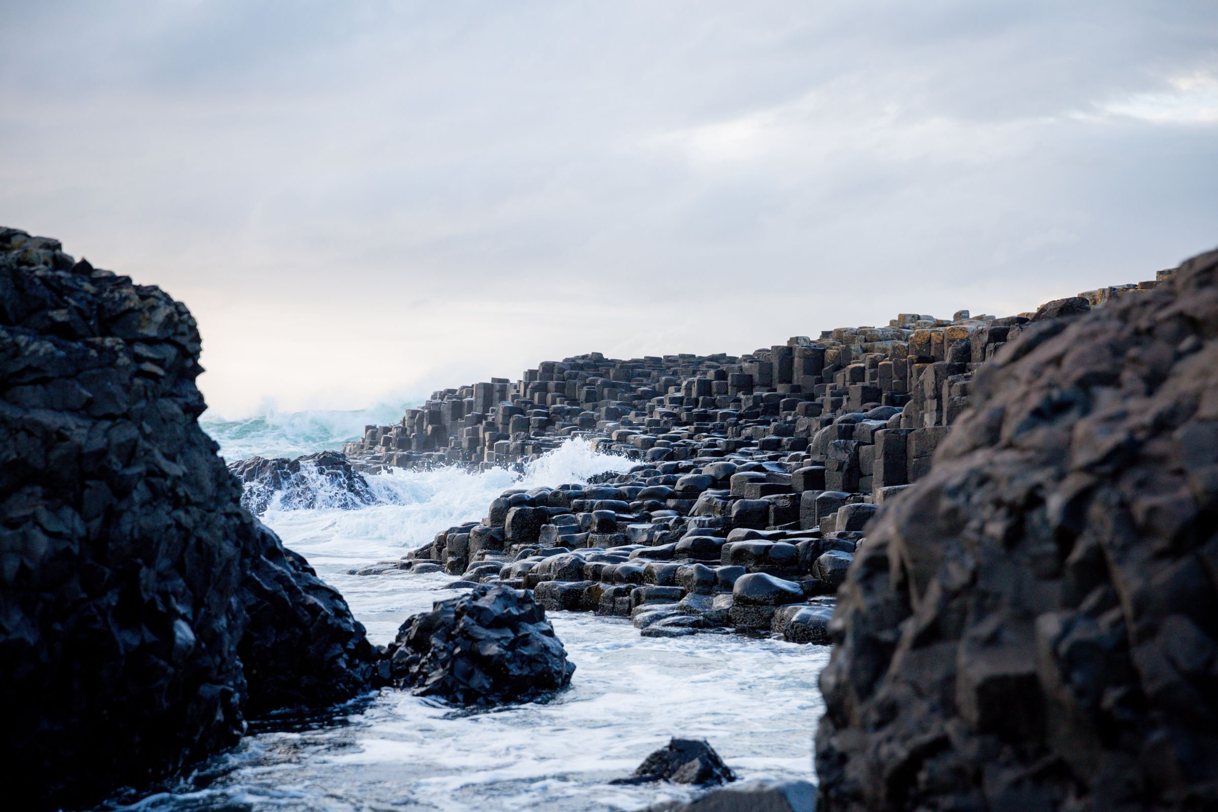
Waves breaking over the basalt columns of the Giant's Causeway
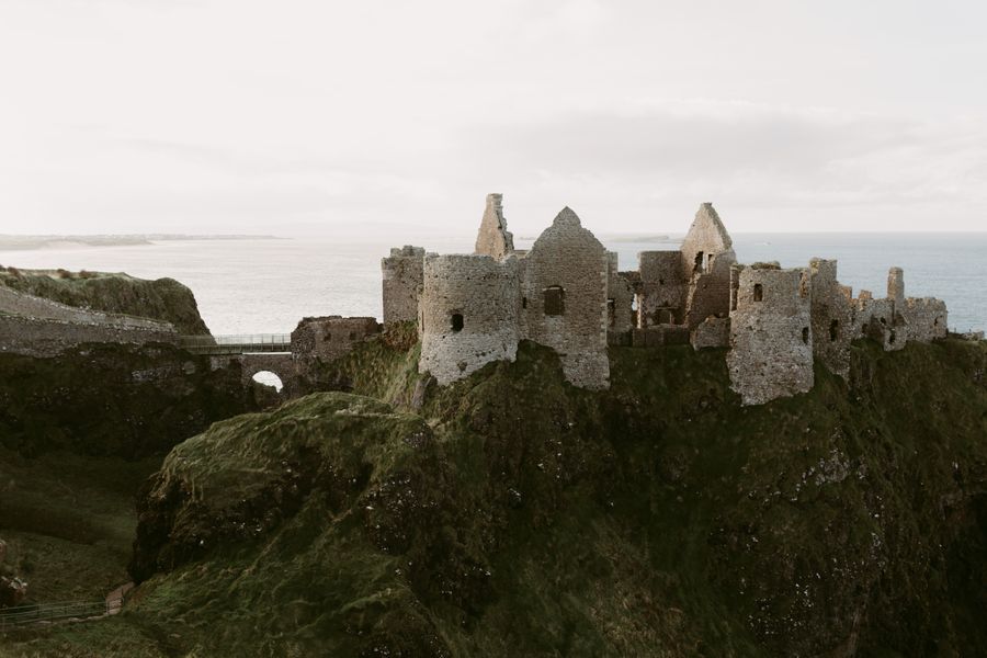
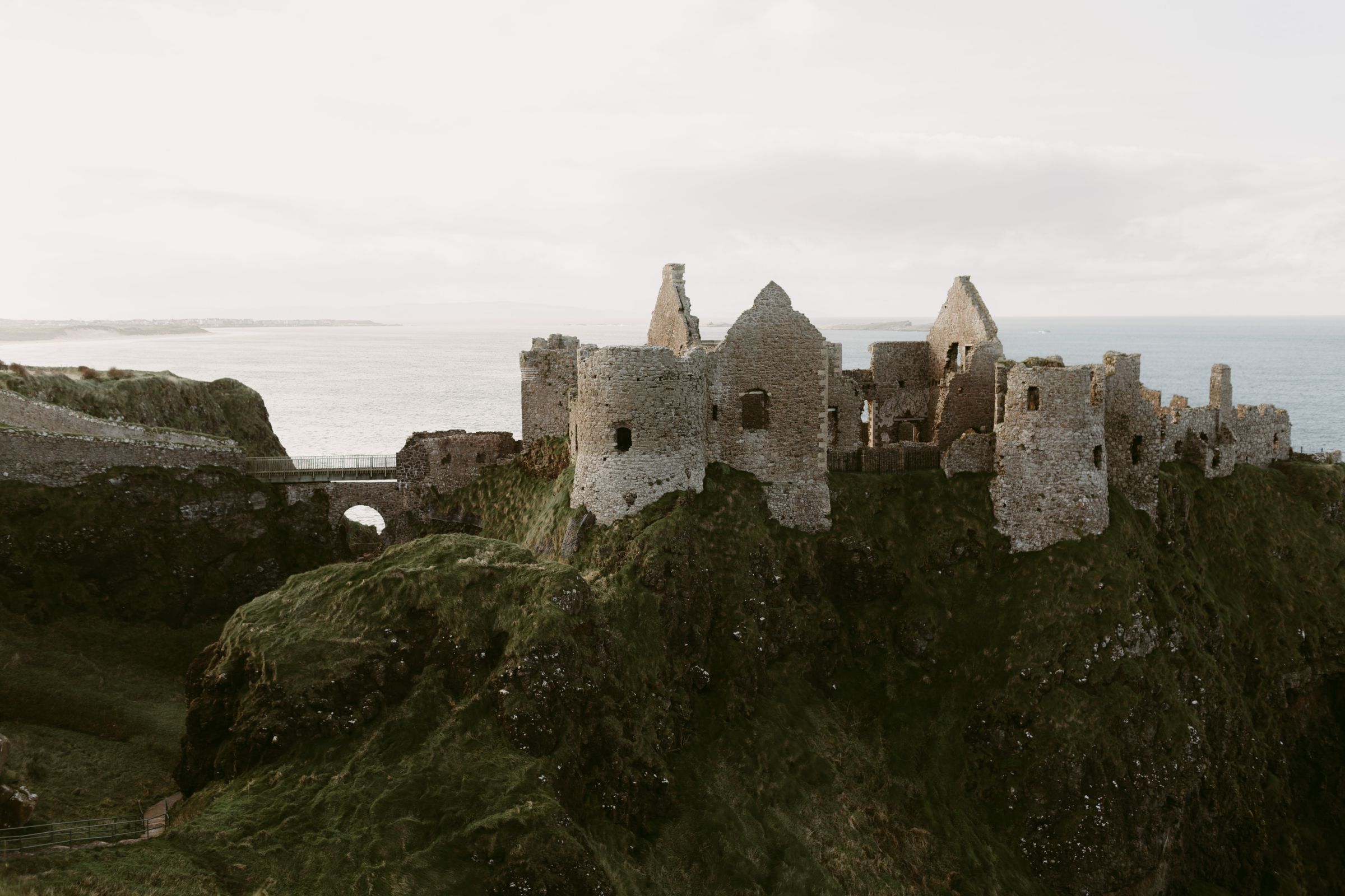
The ruins of Dunluce Castle on a clifftop above the sea
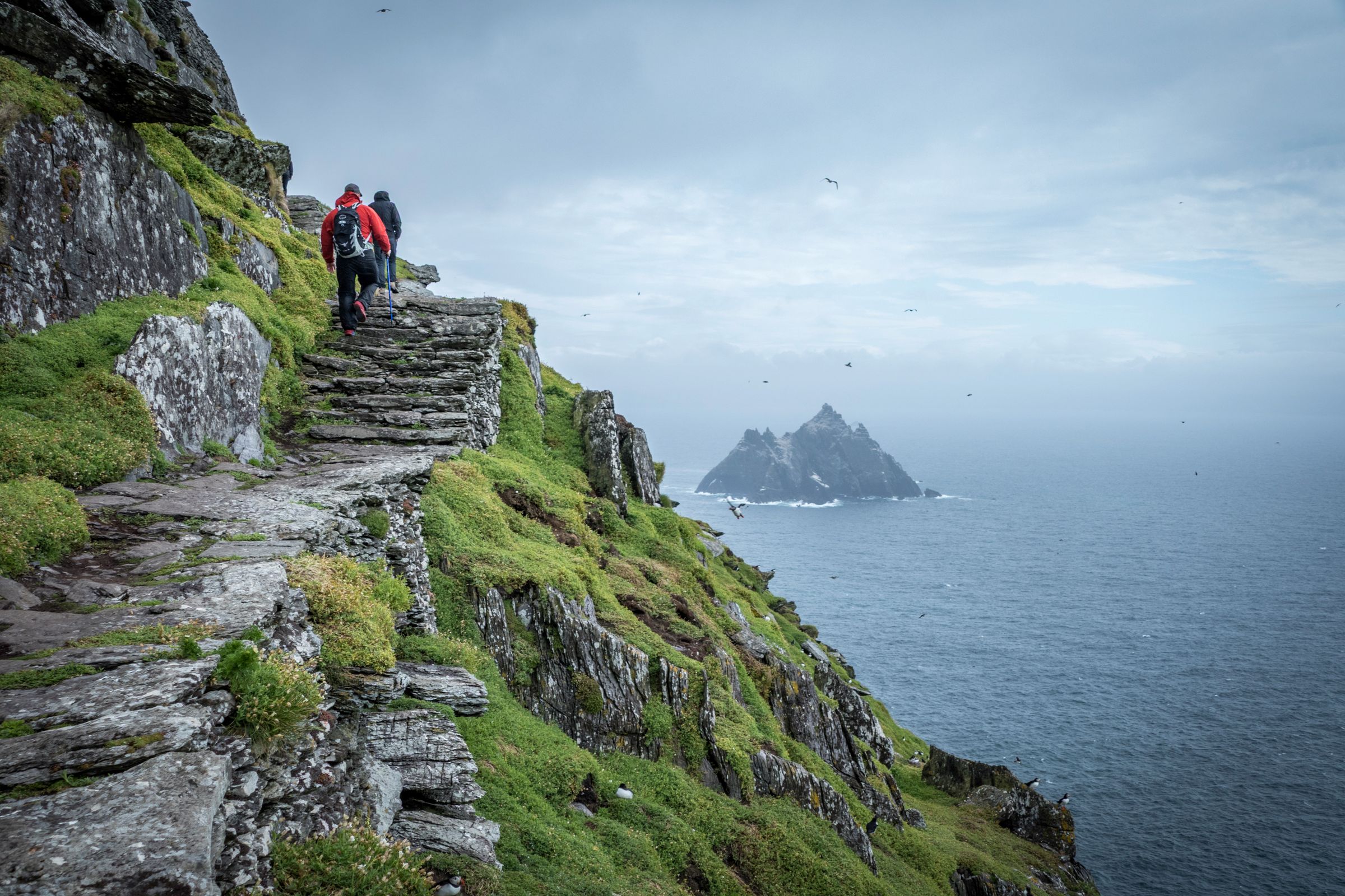
Walkers on the stone paths of Skellig Michael above the Atlantic

Rudaí le déanamh · Things to do

Cliffs,castlesandasession.

Grouped by what they are, so a day can mix a cliff walk with a castle and an evening session.

Giant's Causeway, County Antrim

34 things to do in 4 groups

Sea cliffs, stone forts, island monasteries and a pub session on a weeknight. Things to do across the island, grouped by what they are, each with its straight-line distance from Dublin Airport.
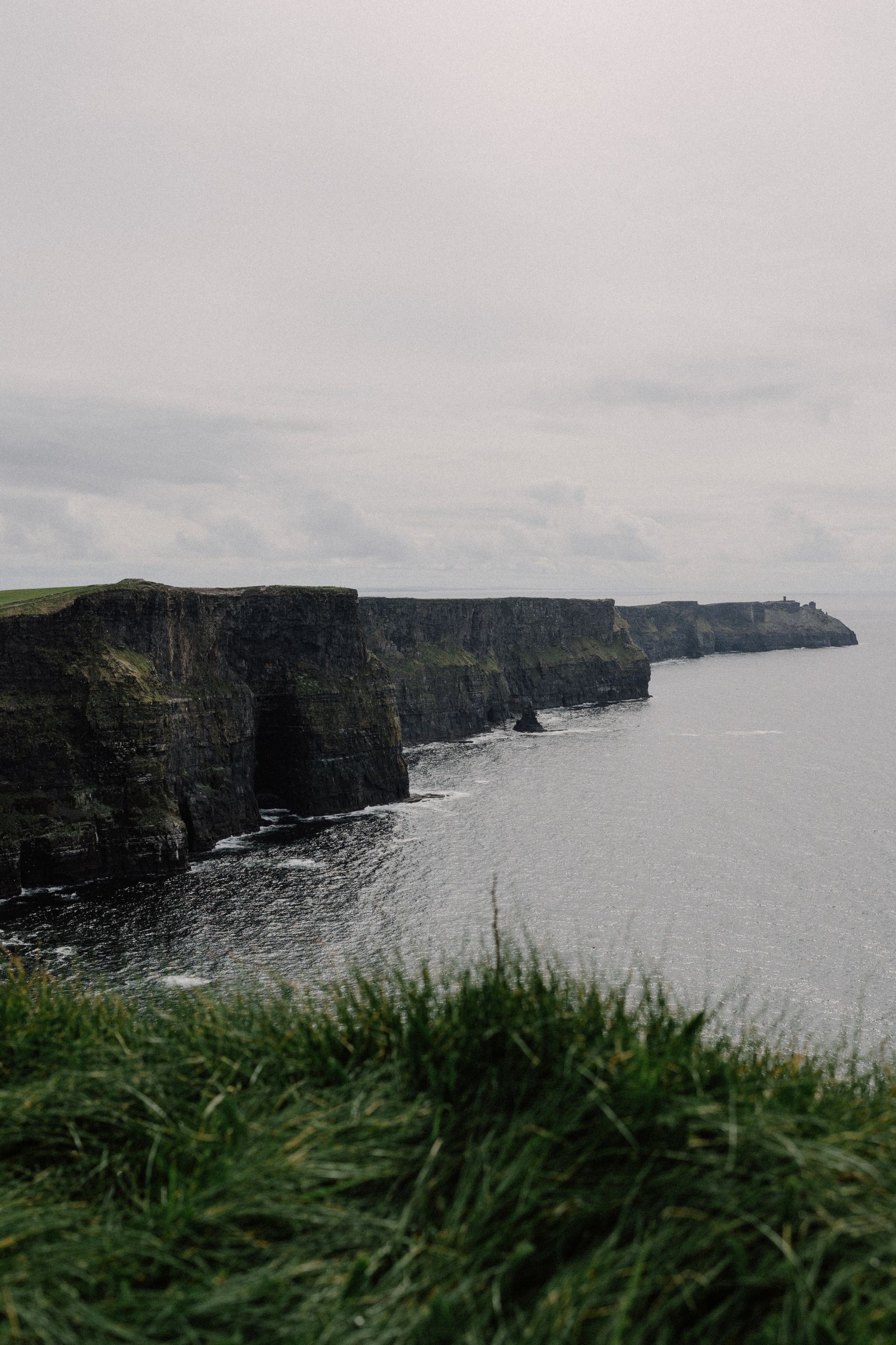
The Cliffs of Moher under a cloudy sky
Start here County Clare

The Cliffs of Moher

Sea cliffs along the Clare coast, with a visitor centre and a cliff-top path.

County Clare · 218 km from Dublin Airport About the Cliffs of Moher
An Cósta · Coast

Coast and cliffs

The Atlantic edge, from the Antrim basalt to the Kerry peninsulas.

8 things to do
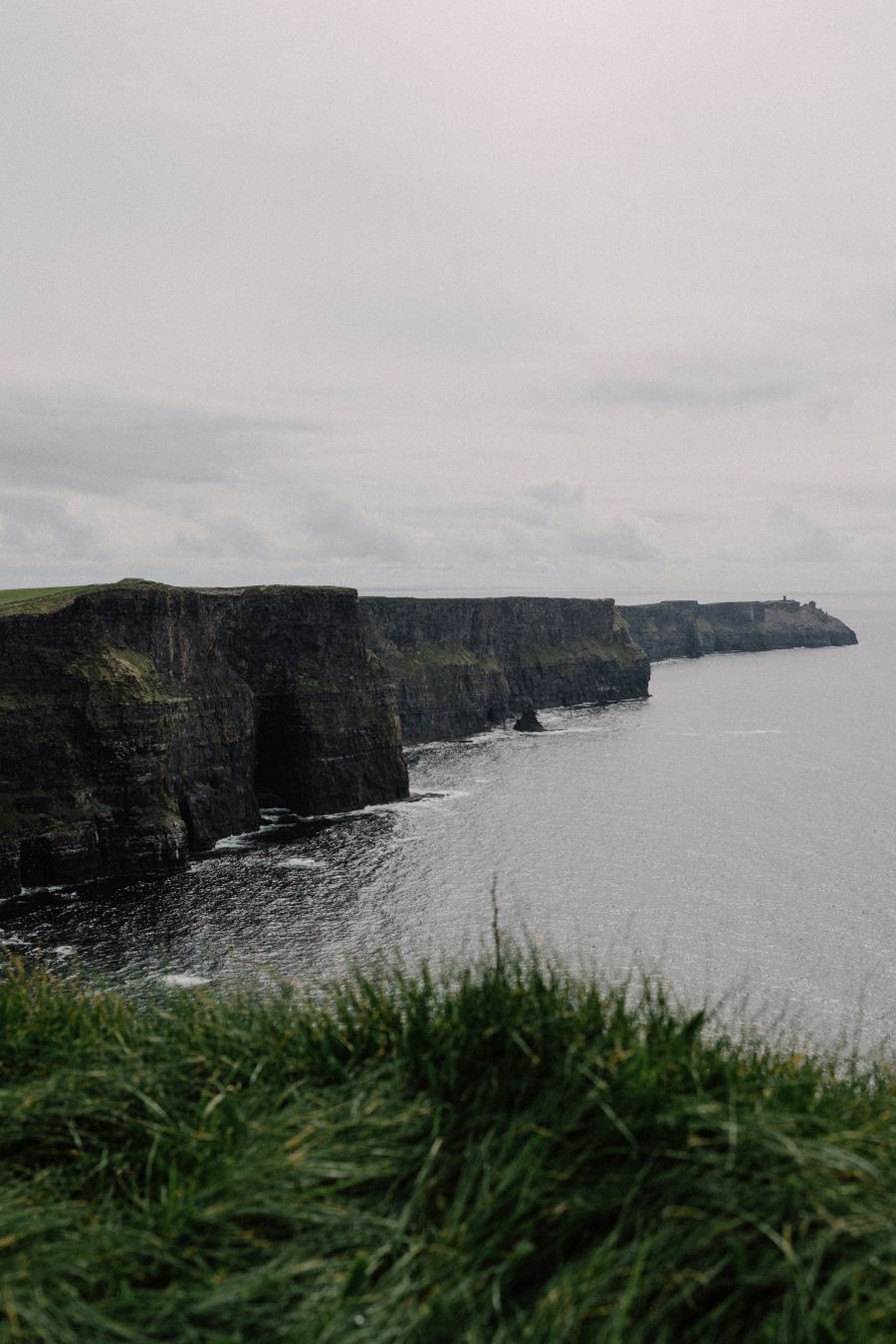
The Cliffs of Moher under a cloudy sky 218 km from Dublin Airport
County Clare The Cliffs of Moher Sea cliffs along the Clare coast, with a visitor centre and a cliff-top path. About the Cliffs of Moher →
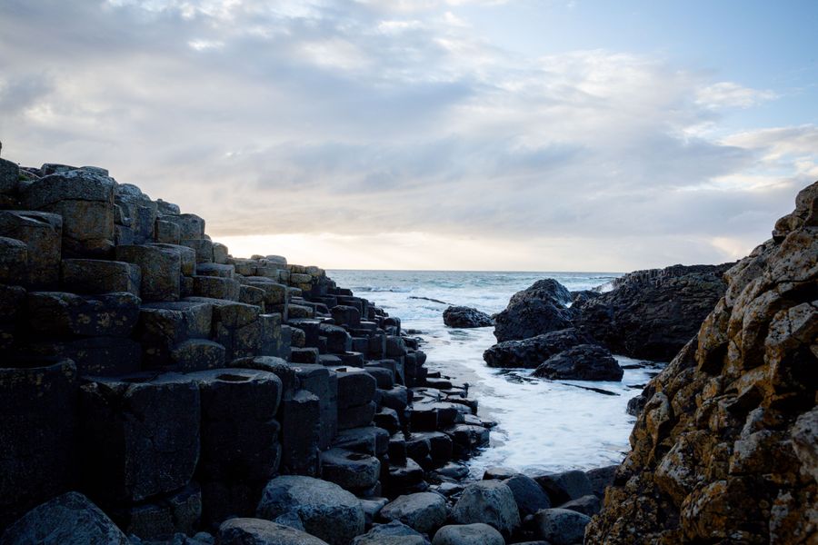
Basalt columns of the Giant's Causeway at the sea's edge 202 km from Dublin Airport
County Antrim The Giant's Causeway Basalt columns at the sea's edge, a UNESCO World Heritage Site. About the Giant's Causeway →
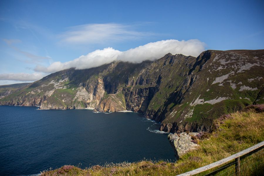
Sliabh Liag sea cliffs above the Atlantic 208 km from Dublin Airport
County Donegal Sliabh Liag Among the highest sea cliffs in Europe, with a viewing point above the water. About Sliabh Liag →
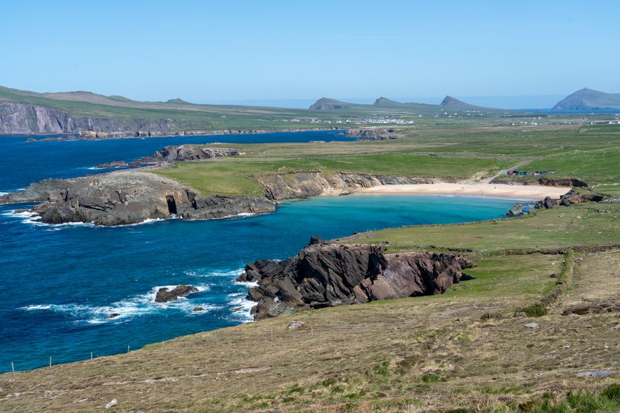
Slea Head beach and cliffs on the Dingle Peninsula 318 km from Dublin Airport
County Kerry The Slea Head Drive A loop around the end of the Dingle Peninsula, facing the Blasket Islands. About the Slea Head Drive →
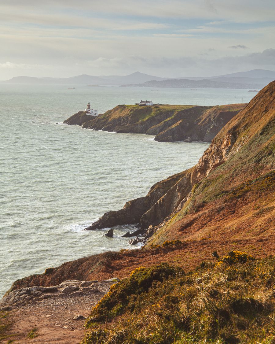
Howth Head cliffs and lighthouse on the Dublin coast 14 km from Dublin Airport
County Dublin The Howth cliff path Loop walks around Howth Head, reached from Dublin city on the DART. About the Howth cliff path →
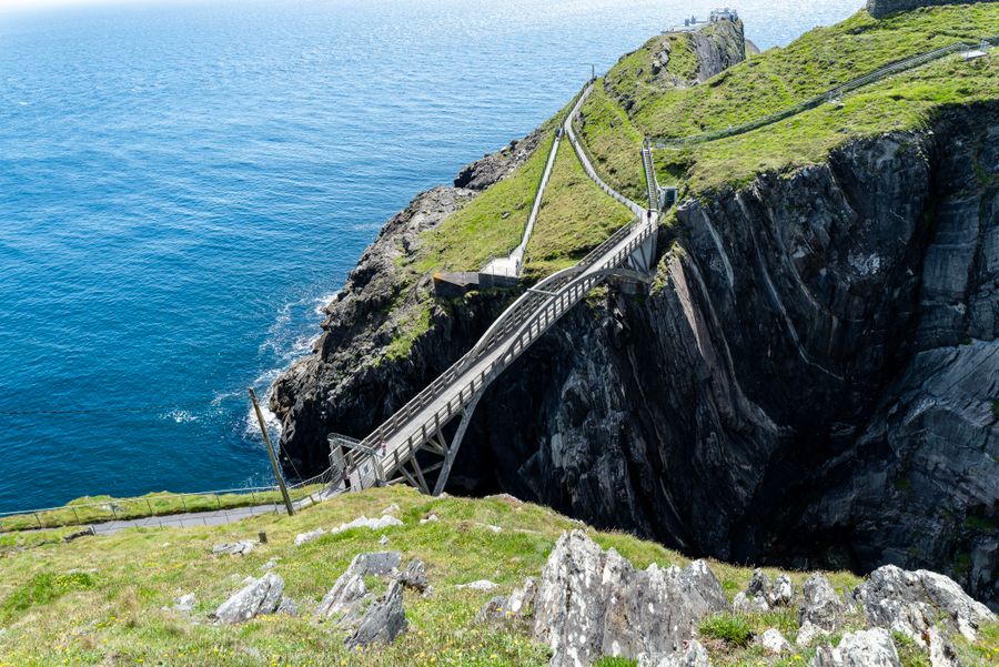
Mizen Head Bridge spans cliffs at Ireland's coast 327 km from Dublin Airport
County Cork Mizen Head A signal station on a rock at the southwest tip, reached by a footbridge over a gorge. About Mizen Head →
View of rocky cliffs and ocean waves along Antrim's coastline 202 km from Dublin Airport
County Antrim Carrick-a-Rede rope bridge A rope bridge to a small island on the Antrim coast, with timed, ticketed crossings. About Carrick-a-Rede rope bridge →
View of the green cliffs and sandy beach on Achill Island, Ireland 267 km from Dublin Airport
County Mayo Keem Bay, Achill Island A sheltered beach at the western end of Achill, below the cliffs of Croaghaun. About Keem Bay, Achill Island →
Oidhreacht · Heritage

Heritage

Island monasteries, clifftop castles and stone tombs from the Neolithic.

11 things to do
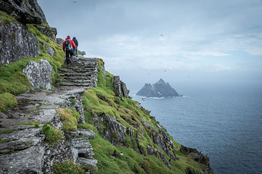
Walkers on the stone paths of Skellig Michael 343 km from Dublin Airport
County Kerry Skellig Michael An early monastery on a rock in the Atlantic. Landings run in summer, weather permitting. About Skellig Michael →
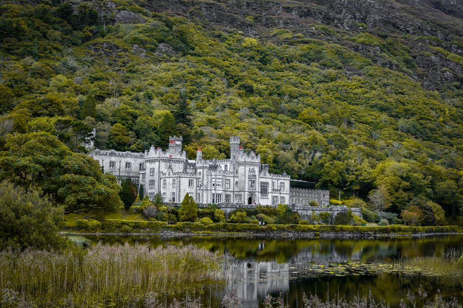
Kylemore Abbey reflected in its lake 241 km from Dublin Airport
County Galway Kylemore Abbey A lakeside house and Victorian walled garden in Connemara. About Kylemore Abbey →
The ruins of Dunluce Castle above the sea 200 km from Dublin Airport
County Antrim Dunluce Castle Medieval ruins on a clifftop above the Antrim coast. About Dunluce Castle →
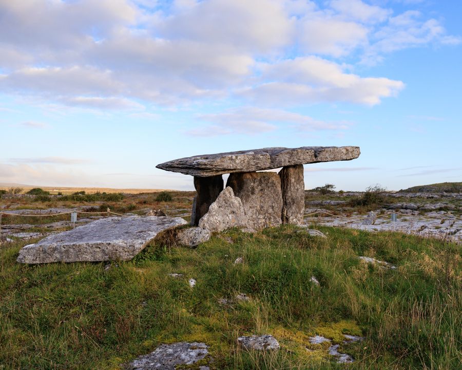
The Poulnabrone portal tomb on the Burren 197 km from Dublin Airport
County Clare Poulnabrone Dolmen A Neolithic portal tomb on the limestone of the Burren. About Poulnabrone Dolmen →
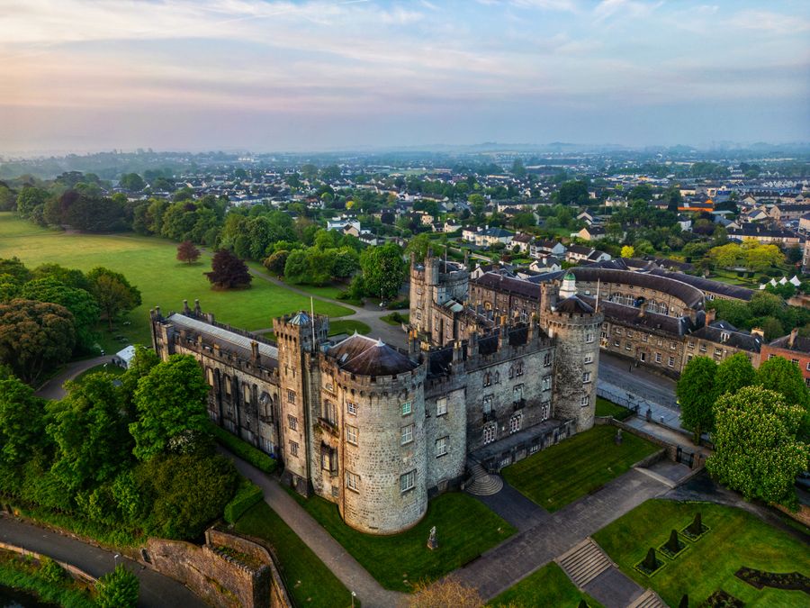
Aerial view of Kilkenny Castle and its grounds 109 km from Dublin Airport
County Kilkenny Kilkenny Castle A castle and parkland at the end of Kilkenny's Medieval Mile. About Kilkenny Castle →
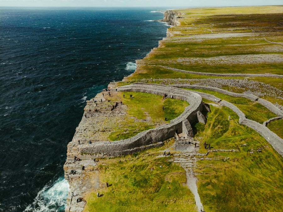
A aerial view of Dun Aonghasa on the Aran Islands, showcasing rugged cliffs and ancient stone fortifications 236 km from Dublin Airport
County Galway Dún Aonghasa A stone fort on the cliff edge of Inishmore, reached by ferry and a walk uphill. About Dún Aonghasa →
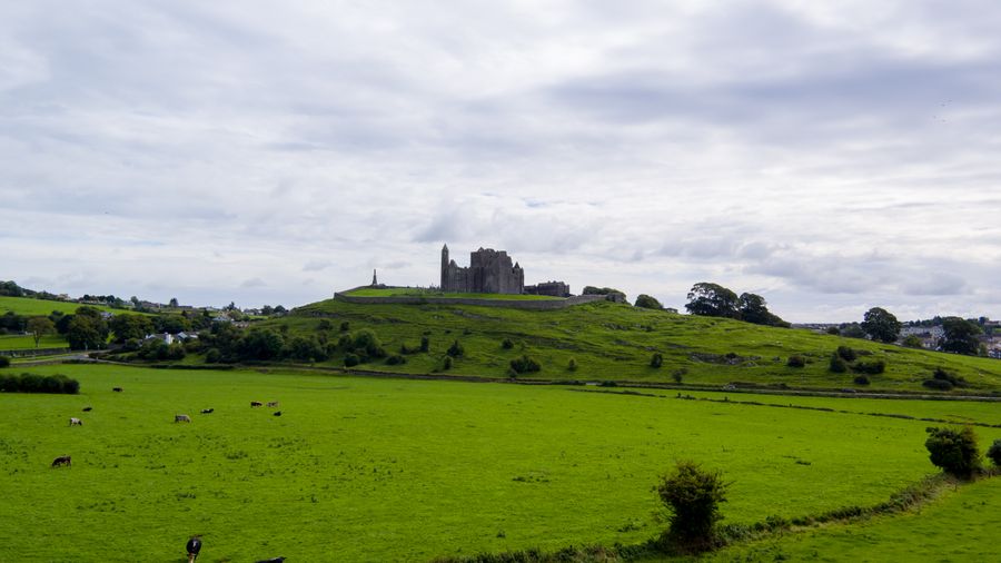
Landscape of the Rock of Cashel surrounded by green fields and grazing cattle under a cloudy sky 149 km from Dublin Airport
County Tipperary The Rock of Cashel Medieval church buildings on a limestone outcrop above the town of Cashel. About the Rock of Cashel →
The white quartz facade and kerbstones of Newgrange passage tomb 33 km from Dublin Airport
County Meath Newgrange and Brú na Bóinne Neolithic passage tombs in a bend of the River Boyne, visited by guided tour. About Newgrange and Brú na Bóinne →
Expansive view of the historic Long Room library in Trinity College Dublin 9 km from Dublin Airport
County Dublin The Book of Kells and the Long Room A ninth-century gospel book and the old library of Trinity College Dublin. About the Book of Kells and the Long Room →
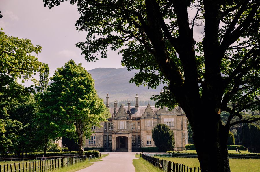
View of Muckross House in Killarney, surrounded by greenery and mountains 269 km from Dublin Airport
County Kerry Muckross House and Gardens A Victorian house and gardens on the shore of Muckross Lake near Killarney. About Muckross House and Gardens →
A high cross and church ruins at Clonmacnoise above the Shannon meadows 116 km from Dublin Airport
County Offaly Clonmacnoise An early monastic site with high crosses and round towers beside the Shannon. About Clonmacnoise →
Faoin aer · Outdoors

Walks and wild places

National parks, lakes and mountains, most with marked trails.

8 things to do
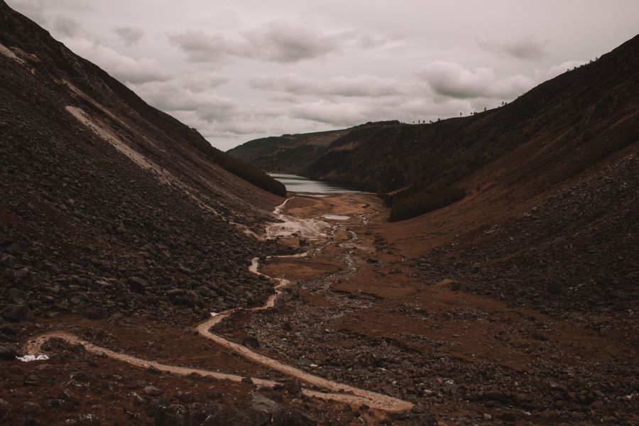
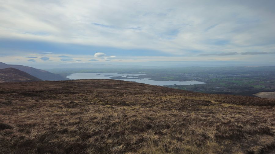
The glacial valley at Glendalough 47 km from Dublin Airport
County Wicklow Glendalough A monastic site and two lakes in a glacial valley, with marked trails. About Glendalough →
The Killarney lakes and hills under a dramatic sky 270 km from Dublin Airport
County Kerry Killarney National Park Lakes, woodland, Muckross House and Ross Castle on the edge of town. About Killarney National Park →
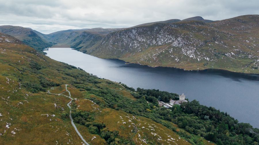
Aerial view of a lake in Glenveagh National Park 211 km from Dublin Airport
County Donegal Glenveagh National Park Mountains, a lake and a castle with gardens in the Donegal highlands. About Glenveagh National Park →
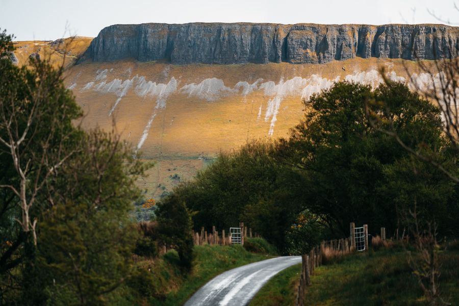
Benbulbin above a country road and green fields 179 km from Dublin Airport
County Sligo Benbulbin A flat-topped mountain over Yeats country, with a forest walk at its foot. About Benbulbin →
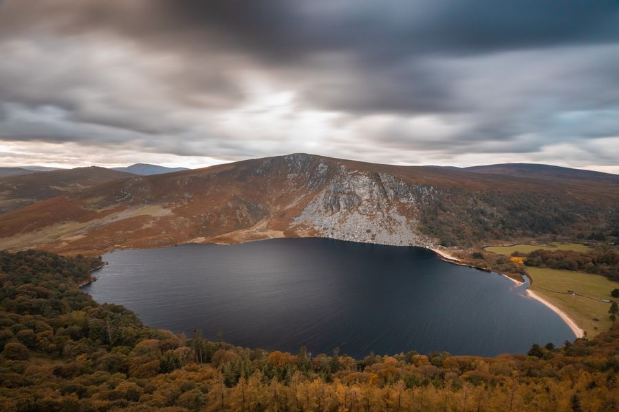
Lough Tay with autumn colour on the hills 36 km from Dublin Airport
County Wicklow Lough Tay A dark lake below the mountain road, with a beach of pale sand. About Lough Tay →
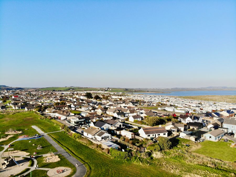
Aerial view of Tramore, County Waterford, Ireland, showcasing residential area and coastline 157 km from Dublin Airport
County Waterford The Waterford Greenway A traffic-free trail on an old railway line between Waterford and Dungarvan. About the Waterford Greenway →
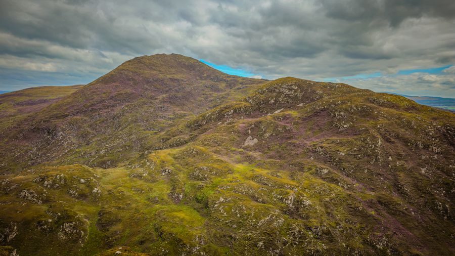
Landscape of Croaghaun, Ireland, featuring rugged mountain views under a cloudy sky 228 km from Dublin Airport
County Mayo Croagh Patrick A pilgrim mountain above Clew Bay, with a steep path of loose stone to the summit. About Croagh Patrick →
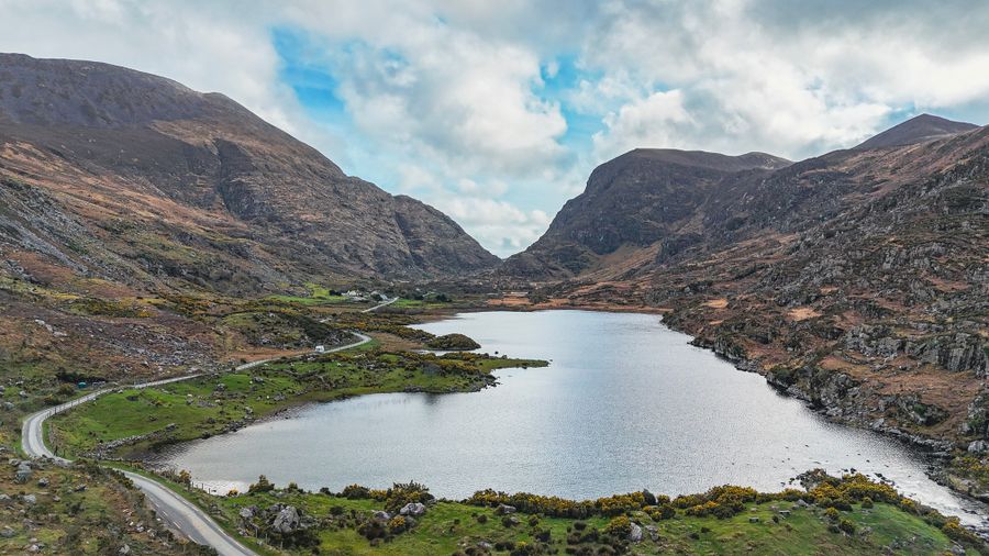
Aerial view of the Gap of Dunloe, a narrow mountain pass in Ireland, in early spring 276 km from Dublin Airport
County Kerry The Gap of Dunloe A mountain pass between the Reeks and Purple Mountain, walked or cycled from Killarney. About the Gap of Dunloe →
Bailte · Towns

Towns and music

Harbours, markets and an evening of traditional music.

7 things to do
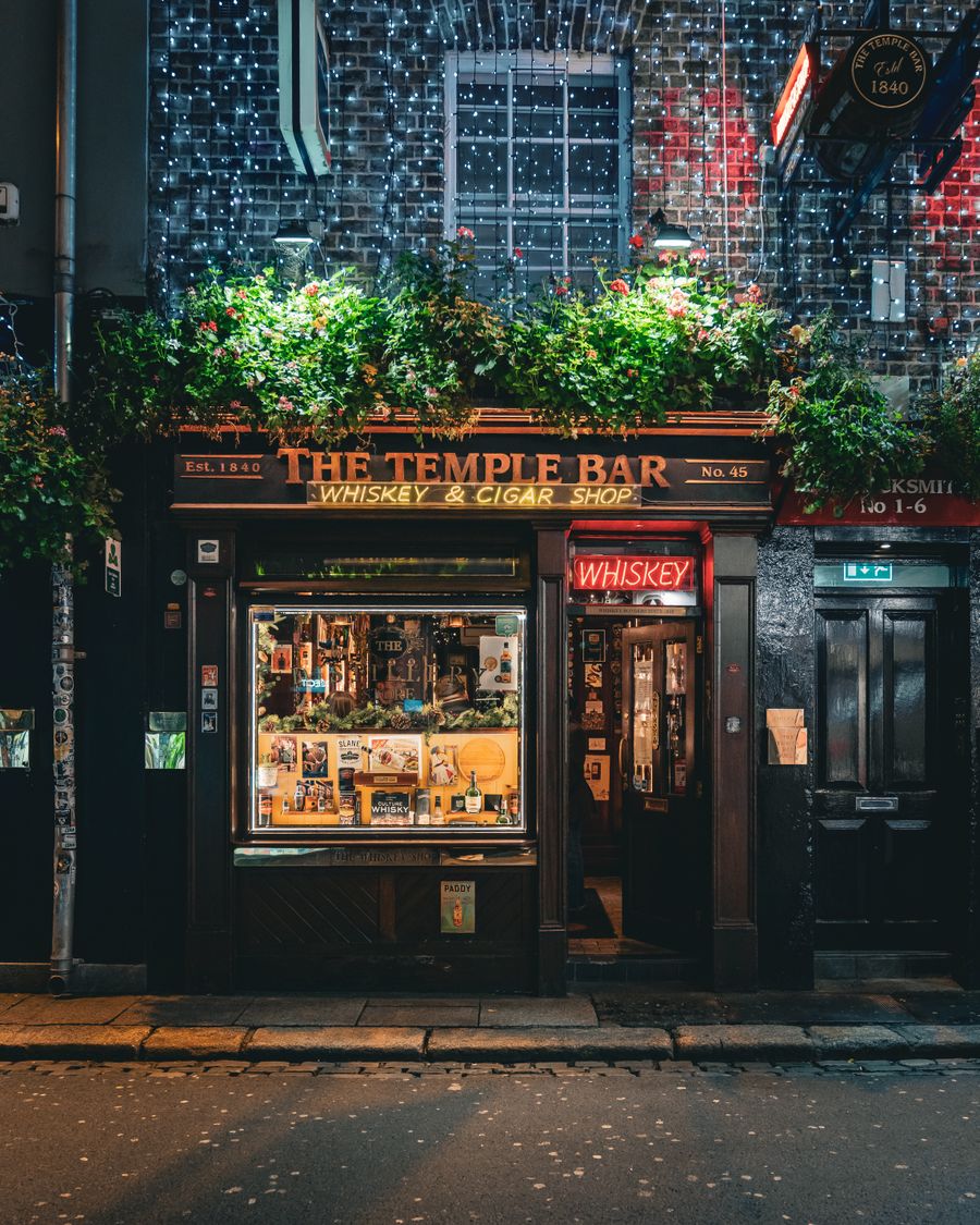
The Temple Bar pub lit up at night 9 km from Dublin Airport
County Dublin Temple Bar Cobbled streets on the south bank of the Liffey, with music most nights. About Temple Bar →
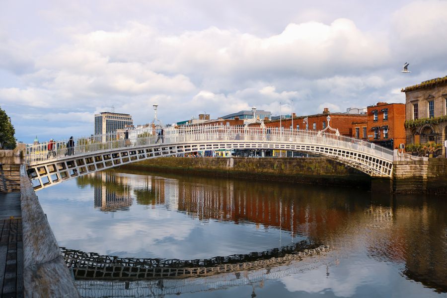
The Ha'penny Bridge reflected in the River Liffey 9 km from Dublin Airport
County Dublin The Ha'penny Bridge A cast-iron footbridge over the Liffey, opened in 1816. About the Ha'penny Bridge →
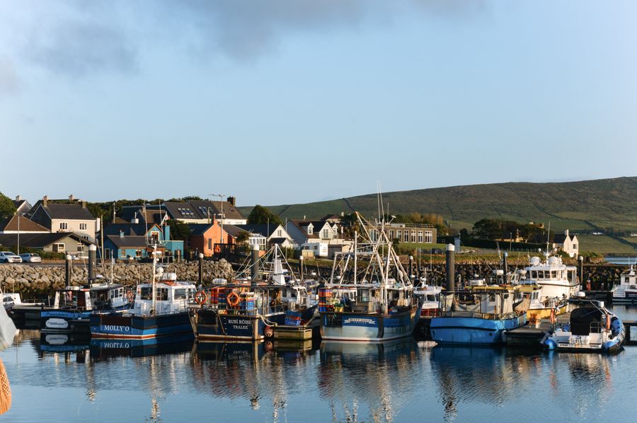
Fishing boats in Dingle harbour 306 km from Dublin Airport
County Kerry Dingle harbour Fishing boats, coloured shopfronts and pubs with music in the evening. About Dingle harbour →
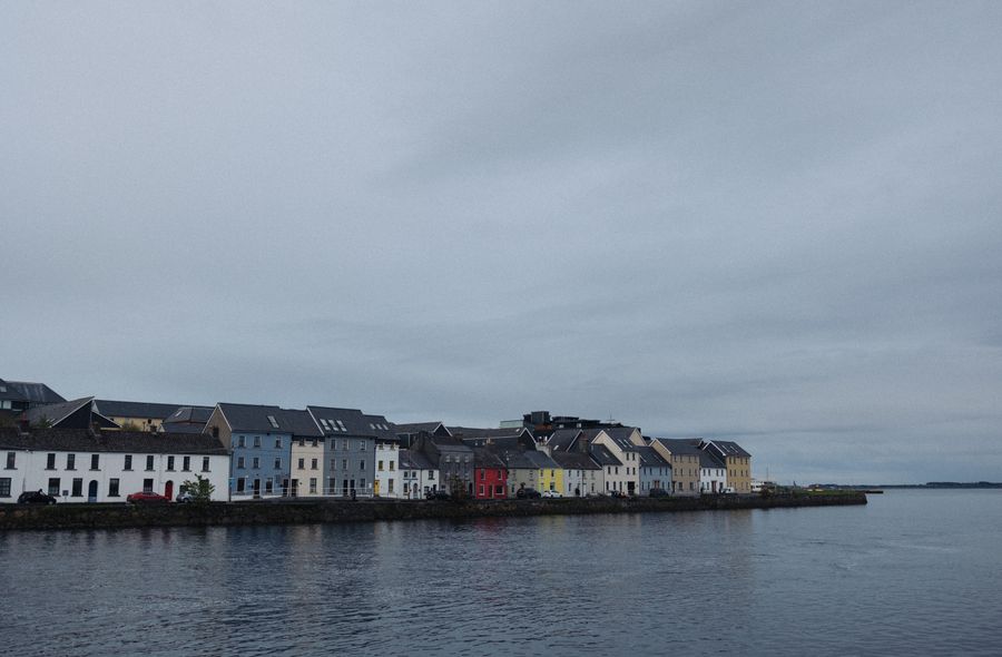
Coloured houses along Galway's waterfront 187 km from Dublin Airport
County Galway Galway's Latin Quarter Street music and small pubs between Shop Street and the Spanish Arch. About Galway's Latin Quarter →
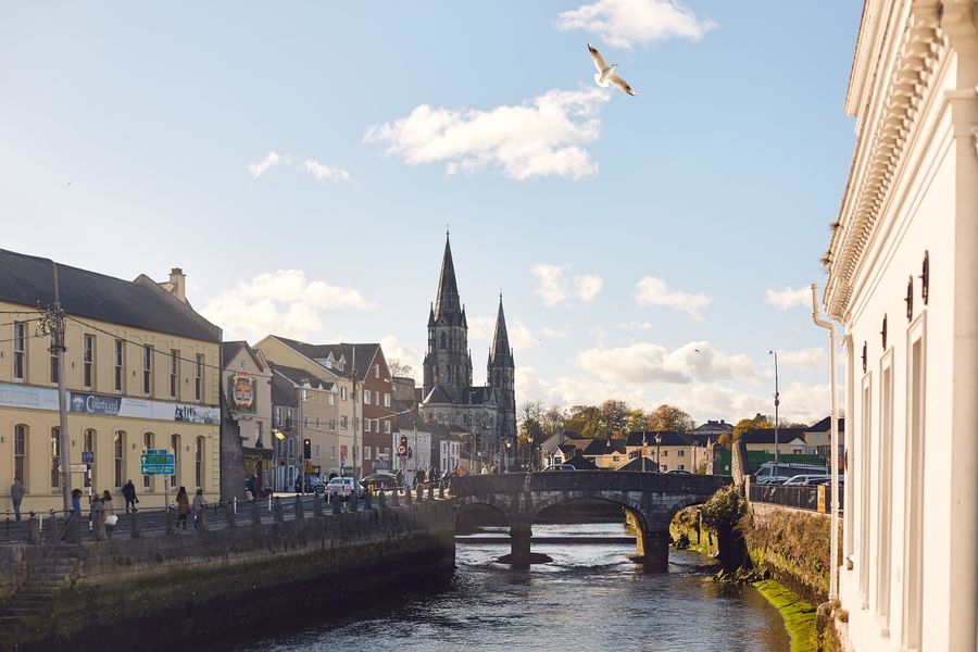
Cork City, its river, a bridge and a cathedral 227 km from Dublin Airport
County Cork The English Market A covered food market in the centre of Cork city, trading since 1788. About the English Market →
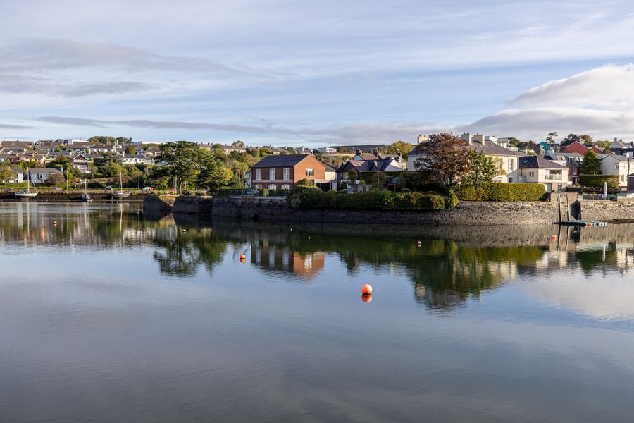
Houses reflect in the calm waters of Kinsale, County Cork, Ireland 245 km from Dublin Airport
County Cork Kinsale A harbour town at the mouth of the Bandon, with Charles Fort on the shore. About Kinsale →
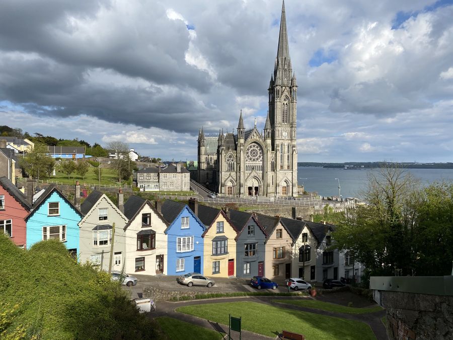
Gothic architecture of St. Colman's Cathedral against a row of houses in Cobh, Ireland by the sea 223 km from Dublin Airport
County Cork Cobh A harbour town on Great Island, with a cathedral above the waterfront in Cork Harbour. About Cobh →

Rudaí le Déanamh · Things to DoPlanning Your Days Who Runs What.

Ireland rewards flexible planning. Weather shifts quickly, so keep a wet-day option ready. Know which sites are ticketed and which are free to walk, and which body looks after each one, and days fall into place more easily.

Coast and cliffs

The coastline sets the rhythm of most trips. Cliff paths, headlands and beaches are free to walk in nearly every case, and the main cost is time and care. Paths edge close to drops and can be slippery after rain, so sturdy footwear matters more than any ticket. On the west coast the Atlantic weather arrives fast, and a clear morning can close in by afternoon.

Some coastal sites are ticketed and managed. The Cliffs of Moher visitor experience is run by Clare County Council, while the Giant's Causeway in County Antrim is cared for by the National Trust and sits in the UK, where pounds and miles apply. Island landings such as Skellig Michael run only in the summer season, weather permitting, with a limited number of licensed boats. Check with the Office of Public Works before booking.

Heritage and parks

Heritage sites fall into clear groups. In the Republic, many state monuments and historic properties are run by the Office of Public Works, and the National Parks and Wildlife Service manages the national parks, including Killarney, Glenveagh, Connemara, Wicklow Mountains, the Burren and Wild Nephin. Some OPW sites are ticketed and some are free to walk, so check before setting out.

In Northern Ireland the picture differs. The Giant's Causeway is National Trust property, while state monuments are looked after by the Department for Communities. Northern Ireland is part of the United Kingdom, so entry rules, currency and signage follow UK practice. Ireland is not in the Schengen area, and entry depends on the passport, so check the Irish Immigration Service for the Republic and gov.uk for Northern Ireland.

Walks and weather

Walking is the simplest way to see the country, and much of it costs nothing. Waymarked trails cross mountains, bogs and coast, and the national parks hold signposted routes of varying length. Conditions change quickly on high ground, and the west and the hills are wetter than the east. Rain is possible in every month, so a waterproof layer and a spare pair of socks earn their place in any bag.

Build days around the forecast rather than against it. A wet morning suits a museum, a castle or a town, and a clearing afternoon suits a cliff path or a headland. Daylight helps too: Dublin sees about 17 hours around the June solstice and about 7.5 hours in late December. In winter, start walks early and keep a shorter backup route in mind.

Towns and music

Towns carry much of the social life. Cities and larger towns hold markets, museums and streets worth wandering, and many are compact enough to cross on foot. Traditional music sessions happen in pubs and halls, often in the evening, and the best way to find one is to ask locally or watch for notices. Sessions vary, and a quiet night can be as good as a busy one.

Getting between places shapes the day. Traffic drives on the left everywhere on the island. In the Republic, Iarnród Éireann runs trains and Bus Éireann and TFI Local Link run coaches and rural buses, while NI Railways and Translink cover Northern Ireland and the Enterprise links Dublin and Belfast. Timetables change, so check with the operator or the Transport for Ireland journey planner before relying on a service.

Ceisteanna · QuestionsAsked often.

Which sites in this section are ticketed and which are free to walk?+

It varies by site. Many cliffs, headlands, beaches and waymarked trails are free to walk, with no charge at the gate. Visitor centres, castles, historic houses and some heritage properties are ticketed, and a charge applies at others. Check the managing body's page before travelling, since arrangements can change with the season.

Who looks after the national parks and heritage sites?+

In the Republic, the National Parks and Wildlife Service runs the six national parks, and the Office of Public Works cares for many state monuments and historic properties. In Northern Ireland, the Giant's Causeway is cared for by the National Trust and state monuments by the Department for Communities. Each body publishes its own opening details.

How should days be planned around the weather?+

Keep the plan loose. Rain is possible in every month, and the west and hills are wetter than the east, so hold a wet-day option such as a museum, castle or town for each stretch of the trip. Save cliff paths and high walks for clearer spells, and check a forecast on the morning itself rather than days ahead.

Can Skellig Michael be visited at any time of year?+

No. Landings run only in the summer season, weather permitting, and a limited number of licensed boats make the crossing. Crossings are often cancelled at short notice when the sea is rough. Check with the Office of Public Works for the season and booking arrangements before building a trip around it.

Is Northern Ireland covered by the same rules as the Republic?+

No. Northern Ireland is part of the United Kingdom, so it uses pounds sterling, miles and mph, and entry rules follow gov.uk rather than the Irish Immigration Service. There are no routine checks on roads crossing the border, and traffic drives on the left on both sides. Emergency numbers are 112 or 999 throughout.

What should be worn or carried for cliff and hill walks?+

Sturdy footwear with grip, a waterproof layer and a spare warm layer cover most days. Paths near cliffs can be muddy and slippery after rain, and exposed ground feels colder than the town below. Carry water and a charged phone, tell someone the route, and turn back if cloud or wind builds rather than pressing on.

How can traditional music sessions be found?+

Ask locally, watch for notices in pubs and halls, or check local listings, since sessions often run on set evenings but vary through the year. Some are informal and some are paid events. Arrive early, keep quiet during tunes, and check with the venue rather than assuming a session runs every night.