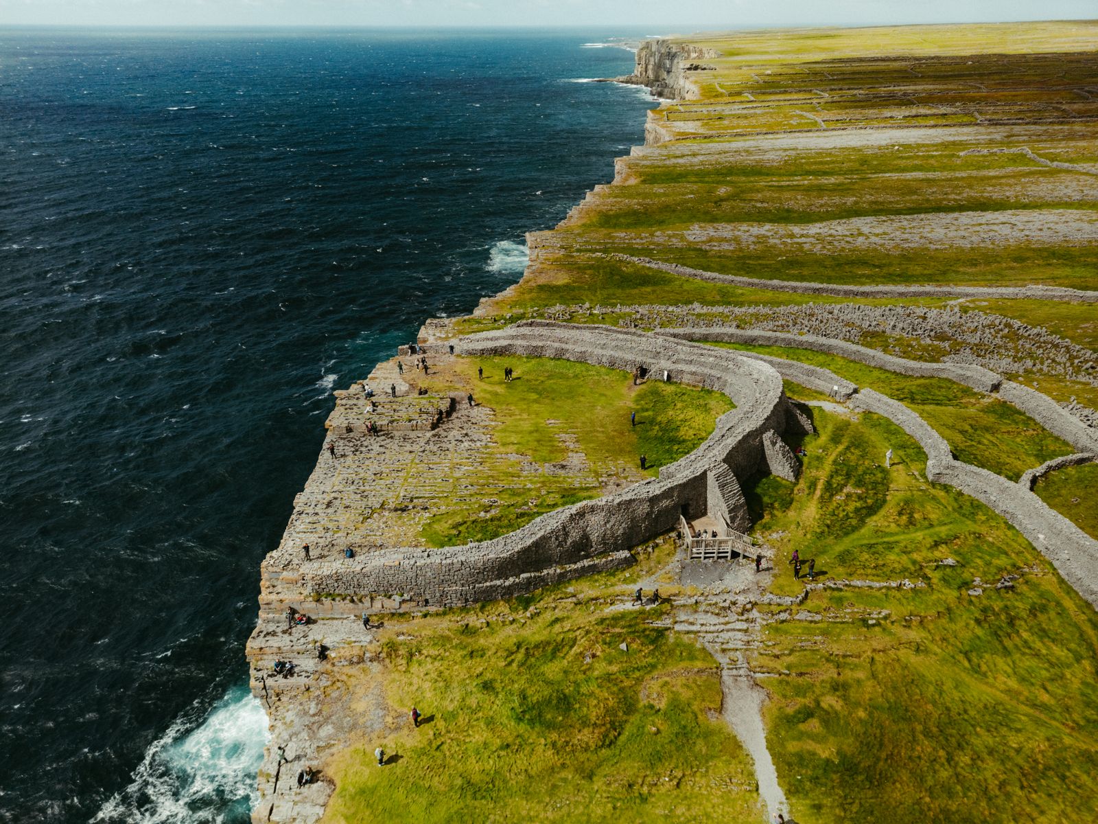
Dún Aonghasa stands on the southern cliff edge of Inishmore, the largest of the Aran Islands, out in Galway Bay. Three rings of drystone walls survive, and beyond the outer wall the ground simply stops. Reaching it means a ferry crossing and a walk uphill.
The fort itself
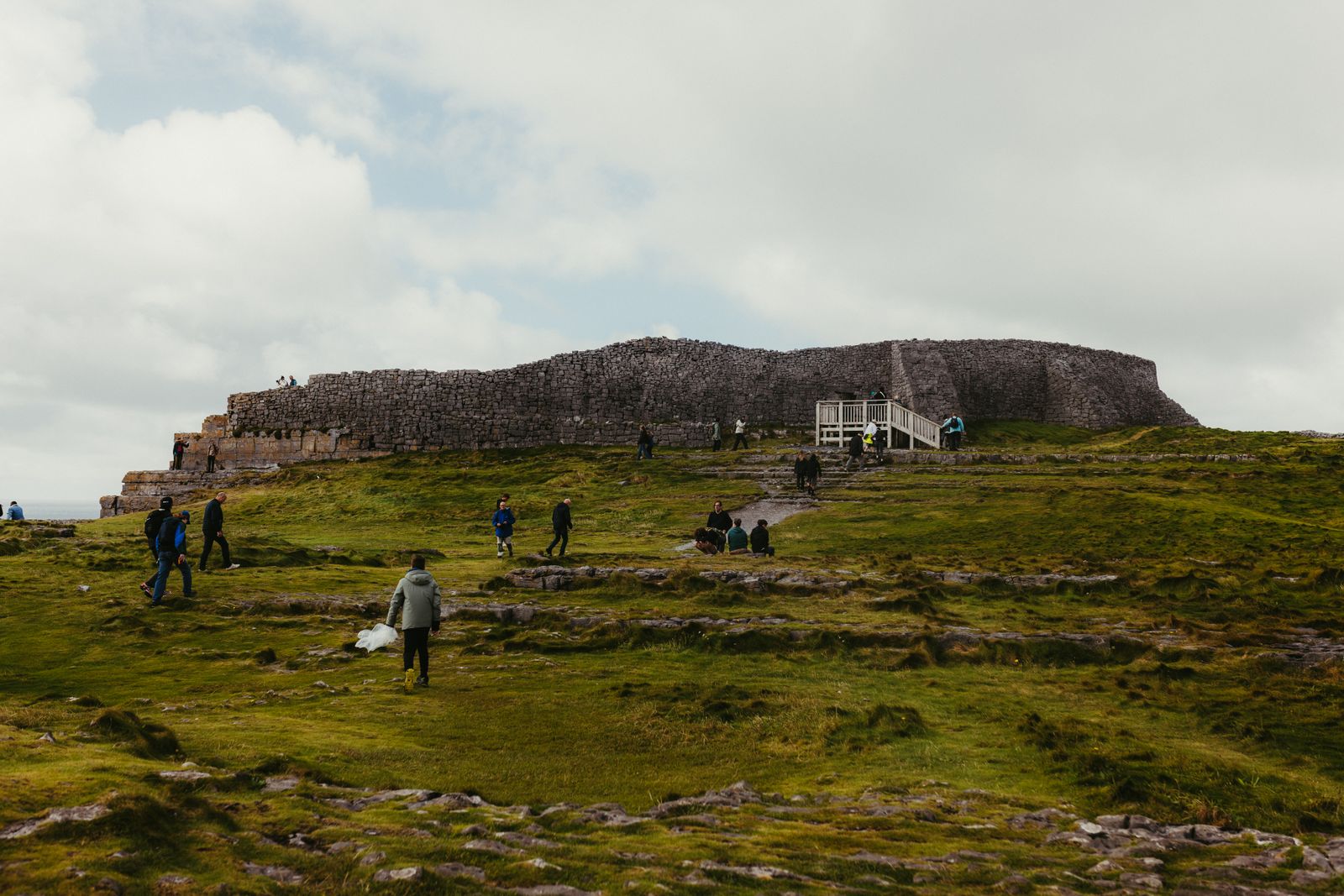
Dún Aonghasa is a semicircular fort built of drystone, set on a headland where the land falls away in a cliff. Three concentric walls survive, with the innermost enclosing a small platform close to the edge. The stonework is laid without mortar, as at the other Aran forts.
Inside the inner enclosure stand a few upright stones and a low rectangular structure. The layout has been read as a place of assembly and defence, though its full purpose is not settled. The setting does most of the explaining.
The name is usually linked to Aonghas, a figure in Irish tradition. The fort is a national monument in State care, and the site is presented by the Office of Public Works, which maintains the paths and the small visitor facility near the entrance.
The fort is a national monument in State care. Check the Office of Public Works, Heritage Ireland, for current entry arrangements and seasonal opening before travelling.
Ferries and the walk up
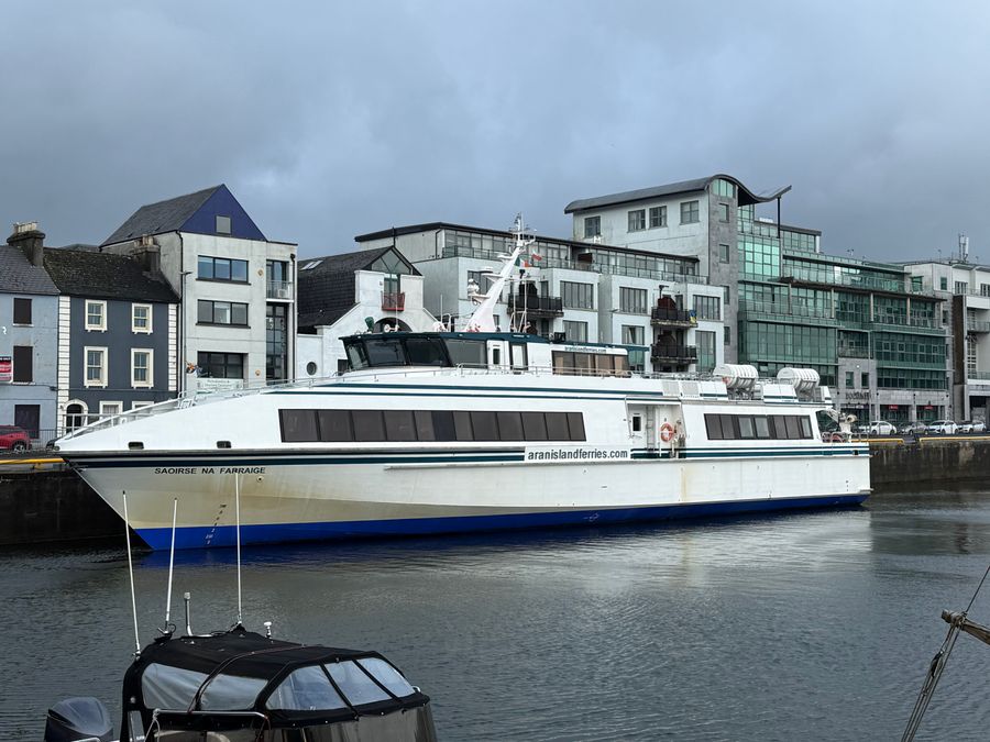
Inishmore is reached by ferry from Rossaveel in Connemara, and in season from Doolin in County Clare. Crossings take roughly three quarters of an hour from Rossaveel and longer from Doolin, and they are weather dependent. Sailings are run by private operators, so check times directly.
Small aircraft also fly to the island from Connemara. On the island itself, the usual approach to the fort is on foot, by bicycle or by the minibuses that run from the harbour. The lane climbs steadily from the coast road.
The final stretch is a walk of some minutes over uneven ground, with a rise near the entrance. Allow time for it, and wear shoes with grip. There is a charge to enter the fort enclosure, and a visitor facility near the start of the path.
Crossings are weather dependent. Confirm sailing times with the ferry operator on the day, and check the Aran Islands page of Fáilte Ireland or Discover Ireland for general guidance.
The cliff edge
The outer wall of the fort runs along the top of a sheer drop to the Atlantic. There is no railing beyond the wall, and the ground is bare rock and thin grass. The exposure is the point of the place, and it is also the risk.
Visitors are asked to stay back from the edge and to keep children close. In wind and after rain the rock is slippery. The cliff face is nesting ground for seabirds in spring and early summer, and birds can be seen wheeling below the wall.
The drop is not fenced in the way a modern viewing point would be. Treat the boundary as the limit, and do not step past the wall for a photograph. The fort is a place to look from, not to lean over.
Stone, wind and limestone
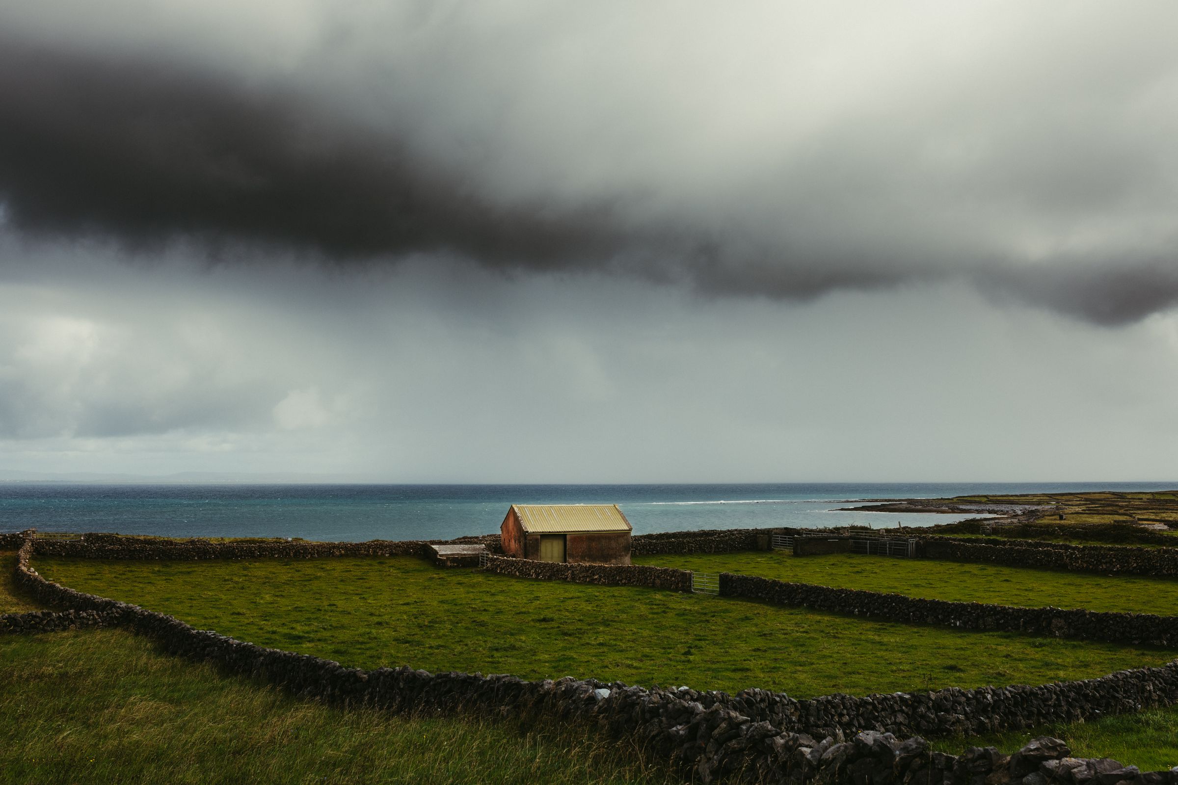
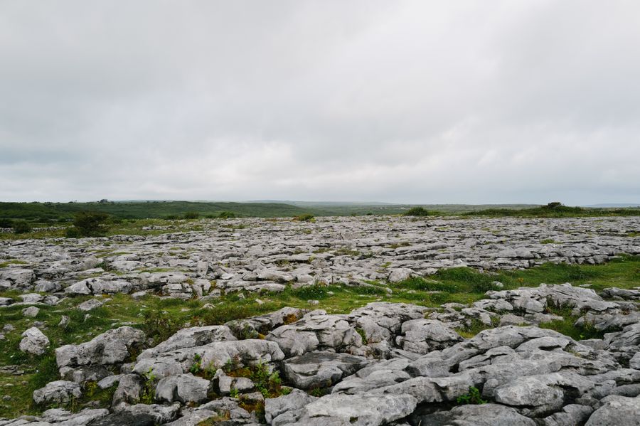
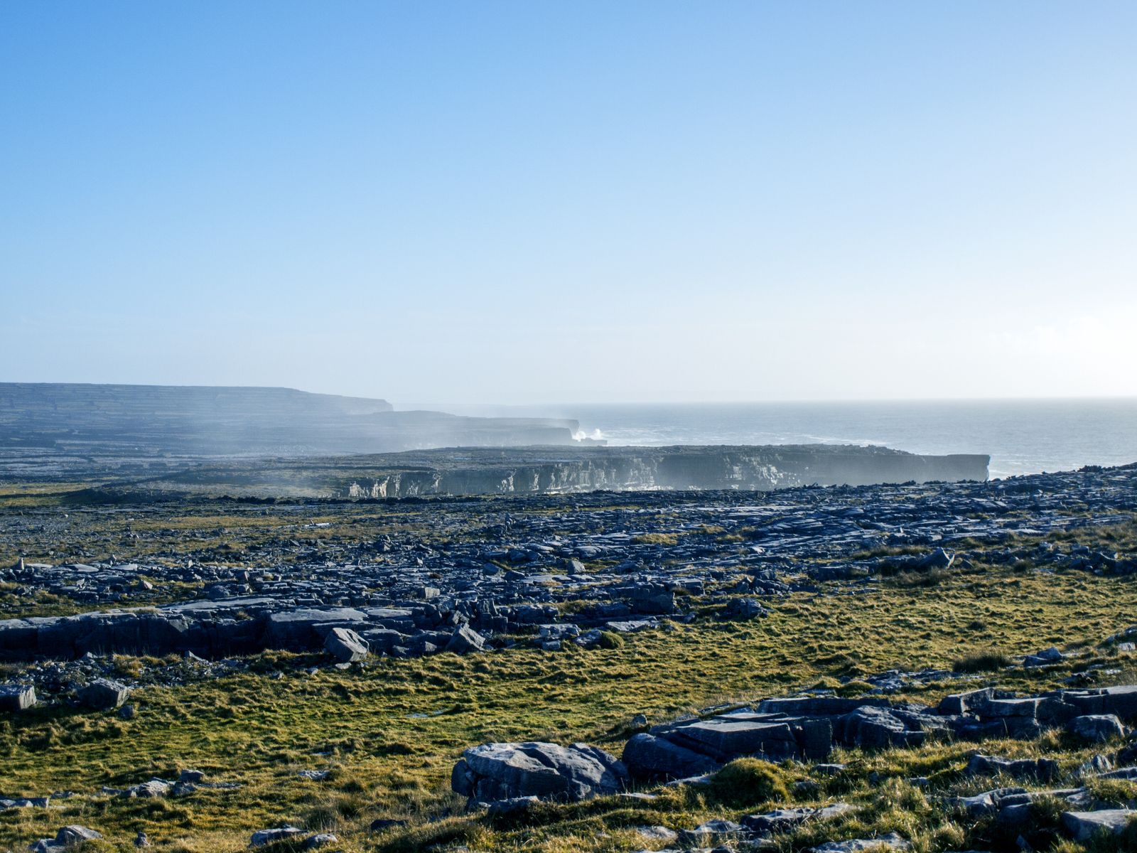
Inishmore is a low limestone island, and stone is the material of everything on it. The fields are divided by drystone walls built without mortar, a method that lets the wind through. The fort uses the same technique at a much larger scale.
The island has little soil and no trees to speak of. What grows is grass in the hollows, with wildflowers on the rocky ground in early summer. The bare limestone holds heat and reflects light, which is why the island can feel bright even under cloud.
The Aran Islands lie at the mouth of Galway Bay, where the Atlantic meets the shelter of the bay. The sea is rarely still. On clear days the Connemara hills show to the north and the Cliffs of Moher to the south east.
Elsewhere on Inishmore
Inishmore holds more than the one fort. Dún Dúchathair, another stone fort, sits on a headland further west, and Dún Eochla stands on higher ground near the middle of the island. Both are reached on foot or by bicycle along narrow lanes.
The village of Kilronan, by the harbour, has a small heritage centre and a church. A short walk from the village leads to a seal colony on the shore, where grey seals haul out on the rocks. The island also holds early Christian remains, including a stone church.
Bicycles can be hired near the harbour, and the lanes are quiet enough for most riders, though they are narrow and undulating. The Aran jumper, a thick knitted garment associated with the islands, is still made and sold locally.
Choosing a base
Most visitors come to Inishmore as a day trip, but staying on the island gives the fort in quieter hours. Kilronan has places to stay near the harbour, and there are rooms and self-catering houses along the lanes further west.
On the mainland, Galway City is the obvious base for the Rossaveel ferry, with the widest choice of accommodation and transport connections. Connemara, closer to the pier, suits travellers who want to combine the island with the coast and mountains.
Doolin, in County Clare, is the base for the seasonal ferry from that side, and it also puts the Cliffs of Moher and the Burren within easy reach. The booking search on this page is set to the Doolin area for that reason, but Galway and Connemara work just as well.
Ferry routes and seasons change. Check the relevant operator and Transport for Ireland for connections to the piers before fixing a base.
Weather and timing
The Aran Islands are exposed to the full Atlantic. Rain is possible in any month, and wind is common. Crossings can be cancelled at short notice in rough weather, and the return sailing may be delayed. Build some slack into the day.
Summer brings long evenings, with daylight in the west stretching well past ten at night around midsummer. Winter days are short, and some ferry and island services run a reduced timetable. Check before travelling outside the main season.
Bring a waterproof layer, footwear with grip and water. There are few shelters on the walk to the fort. The emergency number is 112 or 999, and mobile coverage on the island can be patchy in places.