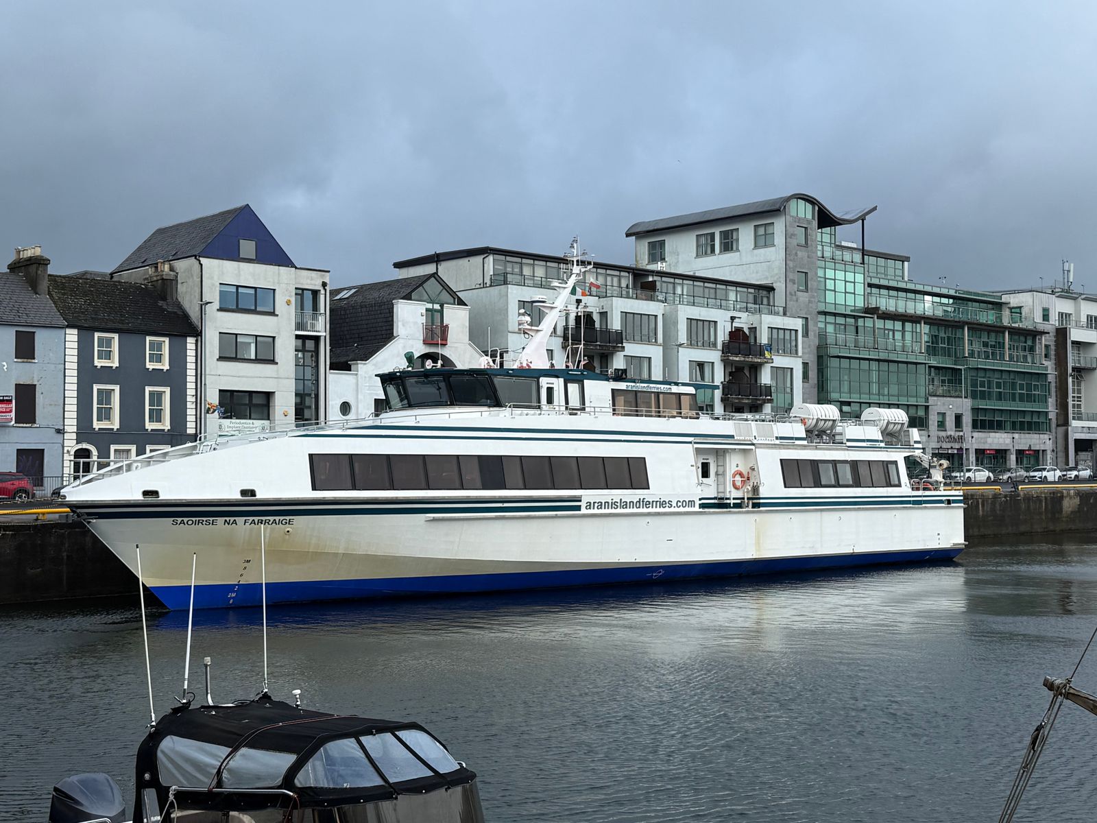
Several islands off Ireland are reached by scheduled passenger boat, and each has its own departure point on the mainland. The crossings are short but exposed, and sailings depend on the weather. Planning around the nearest town makes an island day easier and gives you somewhere to wait if the boat is held.
The Aran Islands
The three Aran Islands, Inishmore, Inishmaan and Inisheer, sit across the mouth of Galway Bay. Passenger ferries sail from Rossaveal in Connemara through the year, and a seasonal service runs from Doolin in County Clare, closer to the Cliffs of Moher. Inishmore is the largest and has the most roads and monuments; the smaller two are quieter and quicker to walk across.
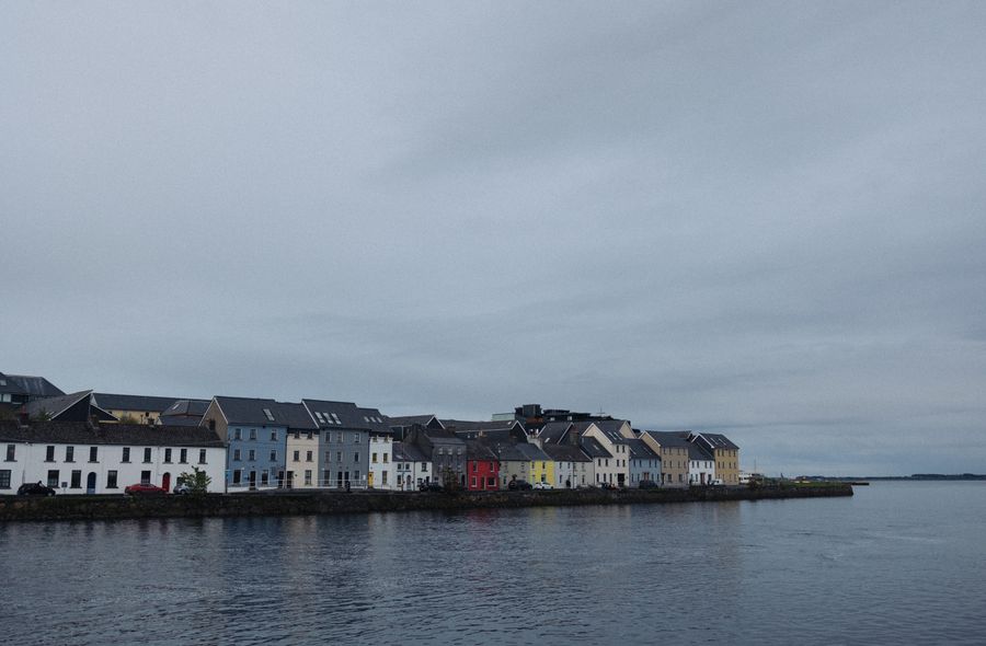
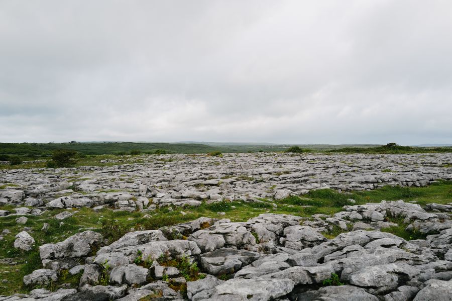
Galway city is the usual base for the Rossaveal crossing, with a connecting bus to the pier timed around sailings. Doolin and the Burren suit the Clare service, and the village is a short drive from the cliffs. On the islands, bikes can be hired near the main pier, and the Aran Islands are a Gaeltacht area, so road signs are in Irish only.
The crossing from Rossaveal takes roughly three quarters of an hour and the Doolin crossing is shorter, but both are open water and can be rough. Sailings are cancelled in strong winds and heavy swell, sometimes at short notice. Check with the operator on the morning of travel, and keep a day in hand if the island is the point of the trip.
Ferries to the Aran Islands are run by private operators. Check the sailing times and weather advice with the company before setting out, and allow a spare day.
Cape Clear and West Cork
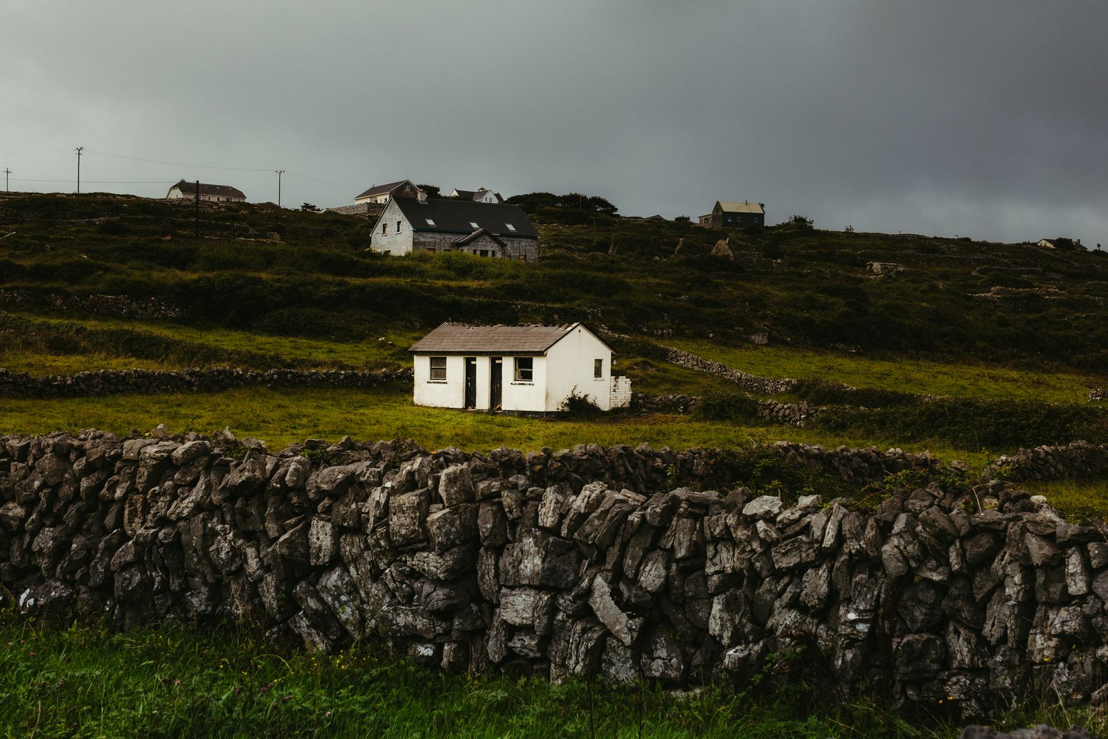
Cape Clear Island lies off the coast of West Cork, south of Schull and west of Baltimore. Passenger ferries run from Baltimore, a small harbour village on the mainland, and the crossing is short. The island is a Gaeltacht area with a scattered population, a hill walk to a signal tower, and a bird observatory that draws visitors in the migration seasons.
Baltimore is the natural base, with a handful of streets, a harbour and access to the wider West Cork coast. Skibbereen, a short drive inland, has more services and makes a useful fallback if the weather turns. The roads around Roaringwater Bay are narrow and winding, so allow more time than the map suggests.
Sailings are weather dependent and the timetable can change with the season. BirdWatch Ireland can advise on the island's wildlife, and the operator will confirm whether boats are running. Sea conditions off this coast are changeable, and a calm morning does not guarantee a calm afternoon, so check before committing to a return time.
Crossings to Cape Clear are weather dependent. Confirm with the ferry operator on the day, and check BirdWatch Ireland for the bird observatory's season.
Tory and Arranmore
Tory Island lies about seven miles off the Donegal coast and is reached by passenger ferry from Magheroarty, a pier on the north-west shore of the county. The island has a small community, a lighthouse, and a reputation for the visual arts. Arranmore, further south off the Rosses, has a vehicle ferry from Burtonport and is larger, with a road network and a cliff walk.
Letterkenny is the main town of the county and a practical base for the north, while Dungloe and the Rosses serve Arranmore. Donegal is a Gaeltacht county in places, and Irish is the community language on Tory, so signage and place names may appear in Irish only. The roads to Magheroarty are narrow in the last stretch.
Crossings are short but exposed to Atlantic swell and are cancelled in poor conditions. The ferry operators publish seasonal timetables, and these change, so check before travelling. A car is useful in this part of Donegal, as public transport to the piers is limited.
Southern and eastern islands
The south and east coasts have fewer scheduled island ferries than the west, but a few are worth knowing. The Saltee Islands off Wexford are privately owned and reached by a seasonal boat from Kilmore Quay, with landings on Great Saltee in summer. Lambay Island off north County Dublin is also private and not open to casual visitors.
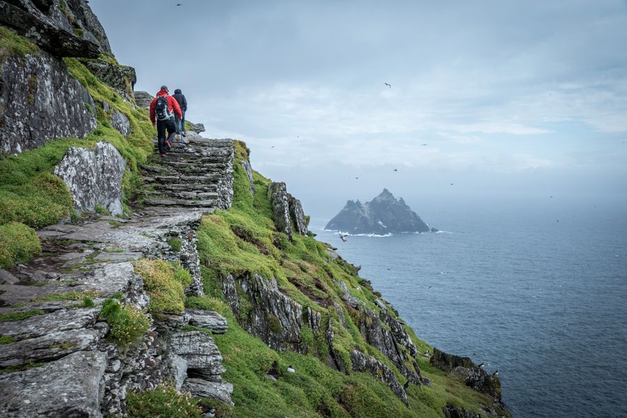
Skellig Michael off the Kerry coast is the best known, reached by licensed boats from Portmagee and Ballinskelligs in summer only. Landings are limited and weather dependent, and the island is a UNESCO World Heritage Site cared for by the Office of Public Works. Killarney and the Iveragh Peninsula make the obvious bases.
For these sailings, book ahead where the operator allows, and treat the date as flexible. The Office of Public Works manages Skellig Michael and publishes landing arrangements; the boat operators confirm whether a crossing is going ahead. Winter closes most of these services entirely.
Skellig Michael landings run in summer only, weather permitting, with a limited number of licensed boats. Check the Office of Public Works for arrangements.
Islands without a ferry
Not every Irish island needs a boat. Achill Island in County Mayo is joined to the mainland by a road bridge at Achill Sound, so you can drive across without booking anything. It has cliffs, a blue flag beach at Keel, and the deserted village at Slievemore. Westport is the usual base, and the Great Western Greenway runs towards the island.
Further north, the Inishowen Peninsula in Donegal is not an island but is often treated as one by visitors, reached by road from Derry~Londonderry. Omey Island in Connemara is a tidal island, reachable across the sand at low water, and the crossing should only be attempted with local advice and a tide table.
These places remove the weather risk from an island day but not the driving. Roads on Achill are narrow in places, and the bridge can be busy in summer. Met Éireann publishes forecasts, and a check the evening before helps.
Practical points
Book ahead for summer crossings where the operator allows it, especially at weekends and around public holidays. Foot passengers usually have more flexibility than vehicles, and some island ferries take cars only by arrangement. Arrive at the pier with time to spare, as loading is often first come, first served.
Bring a waterproof and warm layers whatever the forecast, as conditions at sea differ from the mainland. Cash is useful on the smaller islands, and card machines can be unreliable where the signal is weak. The three-pin type G plug is standard on both sides of the border, though few islands have accommodation beyond a small number of places.
If a sailing is cancelled, the nearest town is where you will wait, so choose a base with something to do. Galway, Doolin, Baltimore, Letterkenny and Killarney all work. Emergency number is 112 or 999 on both sides of the border. The island ferries are private businesses, so timetables and landing rules are theirs to set and change.
Islands in Northern Ireland
Northern Ireland has its own island crossings, and the rules differ because it is part of the United Kingdom. Rathlin Island off the County Antrim coast is reached by ferry from Ballycastle, with sailings for foot passengers and vehicles. The island has an RSPB seabird centre and cliffs where puffins nest in late spring and early summer.
The Causeway Coast is the nearest base, with Ballycastle, Bushmills and Portrush within reach. Currency is pounds sterling, distances are in miles and speeds in mph, and there are no routine checks on the road from the Republic. Entry rules depend on the passport, so check gov.uk before travelling.
Rathlin sailings are weather dependent and the timetable changes with the season. Check with the ferry operator and the RSPB for the centre's opening and the puffin season. The Giant's Causeway, cared for by the National Trust, is a short drive from Ballycastle and pairs well with a crossing.