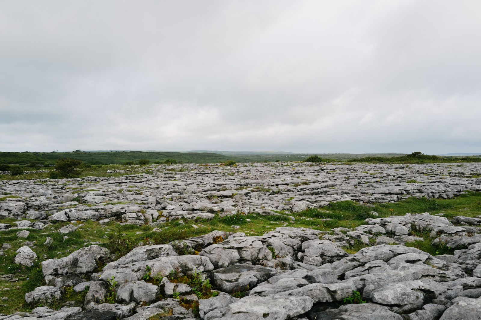
Doolin sits on the coast of north County Clare, a small village spread along a road above the sea. Behind it rises the Burren, a limestone plateau that runs across the north of the county towards Galway Bay.
The village and the music
Doolin is not one compact village but a scatter of houses along a single road, with a harbour road running down to the shore. The harbour is the landing point for boats to the Aran Islands, and the road above it holds most of the places to stay and eat.
The village is known for traditional music. Sessions run in the pubs through the year, with more of them in summer. A session is informal: musicians sit together and play, and listeners are welcome. Arrive early in high season and expect a full room.
Doolin is small. There is a shop or two and a handful of places to eat, but for supermarkets, banks and a wider choice, the nearest town is Ennistymon, a short drive inland. Lisdoonvarna, to the north, is another small town with services.
Session nights vary by season and by pub. Ask locally on the day rather than relying on an old listing.
What the Burren is
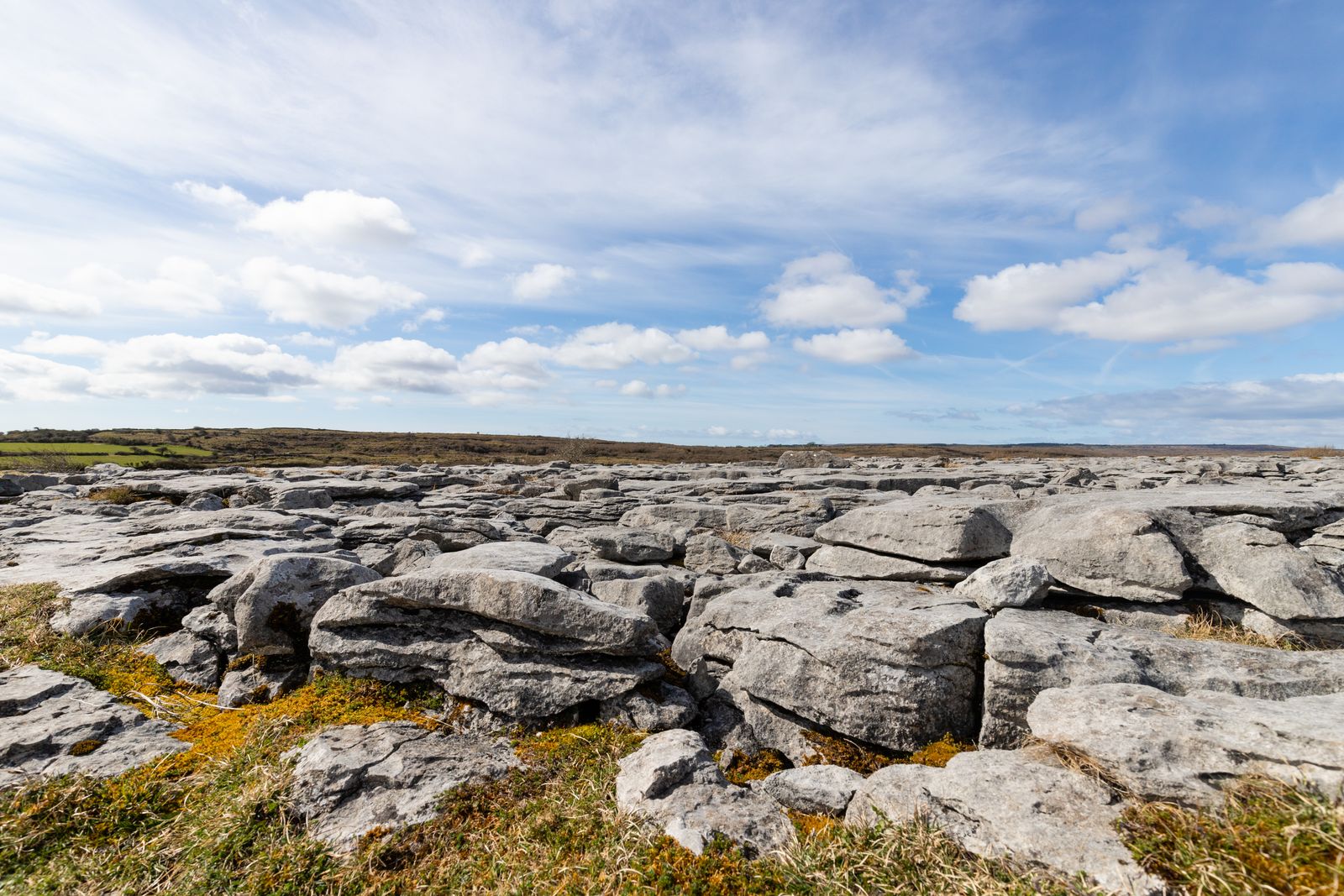
The Burren is a plateau of bare limestone covering much of north Clare. In places the rock shows as grey pavement, cracked into blocks, with narrow fissures between them. The name is often linked to the Irish word for a stony place.
The pavement holds plants that would normally grow on mountains or by the sea, including several orchids and the spring gentian. The mix comes from the shelter of the cracks, the lime in the rock and the mild coastal climate.
The Burren is a national park, run by the National Parks and Wildlife Service. The park covers a part of the plateau rather than all of it, and much of the land around is farmed. Keep to tracks and paths, and leave gates as you find them.
Walking the limestone
Walking is the best way to see the Burren. Marked trails cross the pavement from car parks and villages, some short and some half a day. The ground is uneven and can be slippery when wet, so boots help.
The Burren Way is a long-distance walking route that crosses the plateau, linking villages and coast. It can be walked in sections, and the National Parks and Wildlife Service and local trail groups publish route notes.
Weather changes quickly on open rock with little shelter. Rain is possible in every month, and the plateau is wetter than the east of the country. Carry a waterproof and a map, and check the forecast from Met Éireann before setting out.
Check trail conditions with the National Parks and Wildlife Service and read a forecast from Met Éireann before a full day on the plateau.
The Cliffs of Moher
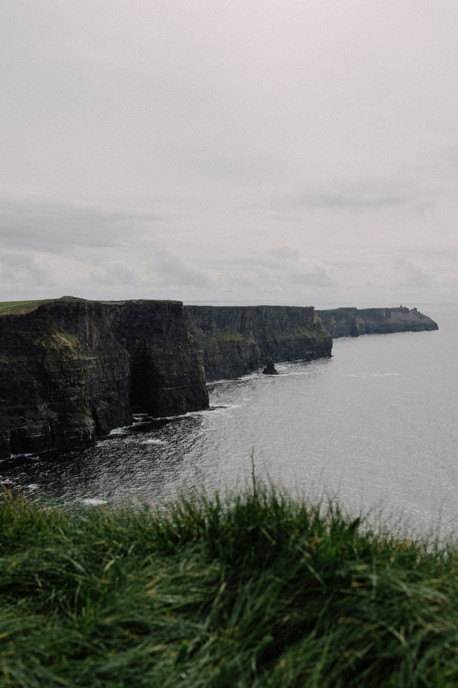
The Cliffs of Moher run for several kilometres along the coast south of Doolin, dropping sheer into the Atlantic. The visitor centre at the main car park is run by Clare County Council, and entry to the site is ticketed.
A clifftop path runs along the edge, with a viewing platform and a visitor centre built into the hillside. The cliffs are busy in summer, and the car park fills on fine days. Early morning and evening are quieter.
The cliffs are also a seabird site. Birds nest on the ledges in late spring and early summer, and the grass edge is fenced for safety. Stay behind the barriers, as the cliff edge is undercut in places and the wind is strong.

Tombs and old sites
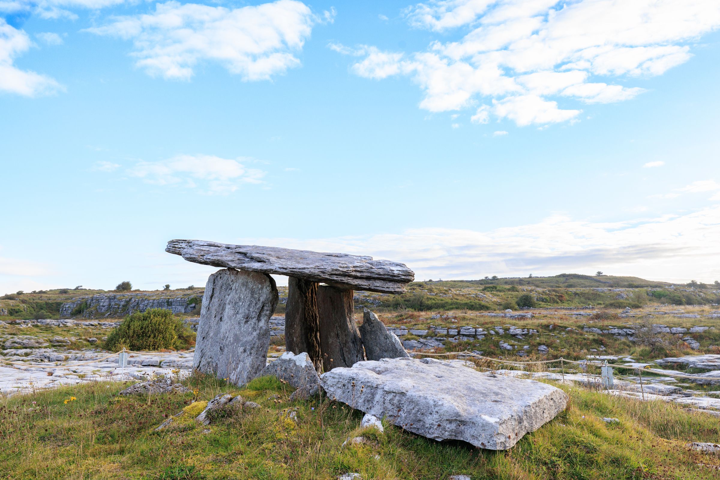
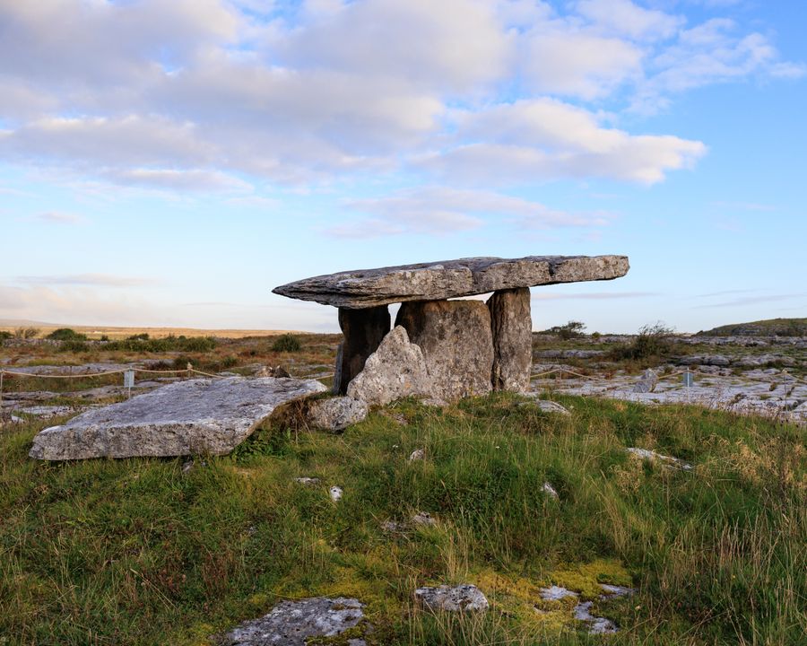
The Burren holds a dense spread of prehistoric and early Christian remains. Poulnabrone Dolmen is a portal tomb of upright stones with a flat capstone, standing on open pavement beside a minor road. It is free to visit and is cared for by the Office of Public Works.
Nearby, the remains of ring forts, churches and holy wells sit in fields and along lanes. Some are on private land and reached only by agreement, so check access before crossing a fence.
Corcomroe Abbey, a ruined Cistercian monastery in the north of the Burren, is also in the care of the Office of Public Works. The stonework and the setting in a green valley below the plateau make it worth a stop.
The coast and the islands
Doolin harbour is the departure point for passenger boats to the Aran Islands, with Inis Oírr the closest. Crossings are weather dependent, and sailings can be cancelled at short notice. Check with the operator on the day.
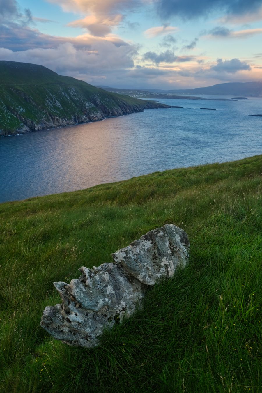
The coast north and south of the village has low cliffs, rocky shore and small beaches. The road south towards the Cliffs of Moher passes a coastal strip with views across to the islands on a clear day.
Surfing and shore angling are both practised locally, and the harbour area is a working one. Parking near the pier is limited in summer, so arrive early or walk down from the village.
Crossings to the Aran Islands depend on sea conditions. Confirm with the boat operator before travelling to the harbour.
Choosing a base
Doolin itself suits a short stay built around music, the cliffs and the harbour. Accommodation is spread along the road, and a car makes it easier to reach the plateau and the coast.
Ennistymon and Lisdoonvarna inland offer more services and a central position for the Burren. Ballyvaughan, on the north coast of the plateau, is a quiet base close to the Corcomroe sites and the road to Galway.
Further south, Lahinch has a beach and a golf links, and is handy for the cliffs. Buses run along the coast road, but services are limited, so check timetables with Bus Éireann and Transport for Ireland before relying on them.
Getting there and around
There is no railway in north Clare. The nearest stations are at Ennis and Galway, with buses onward from both. Bus Éireann and private coaches run along the coast road, and rural services are limited outside summer.
By road, the M18 brings traffic from Limerick and Shannon towards Ennis, then minor roads lead west to the coast. Driving is on the left, and distances are in kilometres in the Republic.
Shannon is the nearest airport, with Dublin and Ireland West (Knock) further away. A car is the simplest way to see the Burren and the cliffs together, though the coast road is narrow in places and parking at the cliffs is ticketed.