RegisterFind a stay
The Cliffs of Moher dropping into a calm sea

Aillte an Mhothair · County Clare

TheCliffsofMoher.

Sea cliffs running for kilometres along the Clare coast, with a visitor centre, O'Brien's Tower and a path along the top.

The Cliffs of Moher, County Clare
County
Clare
From Dublin Airport
218 km, straight line
Highest point
About 214 m
Length
About 14 km
Entry
Visitor centre ticketed

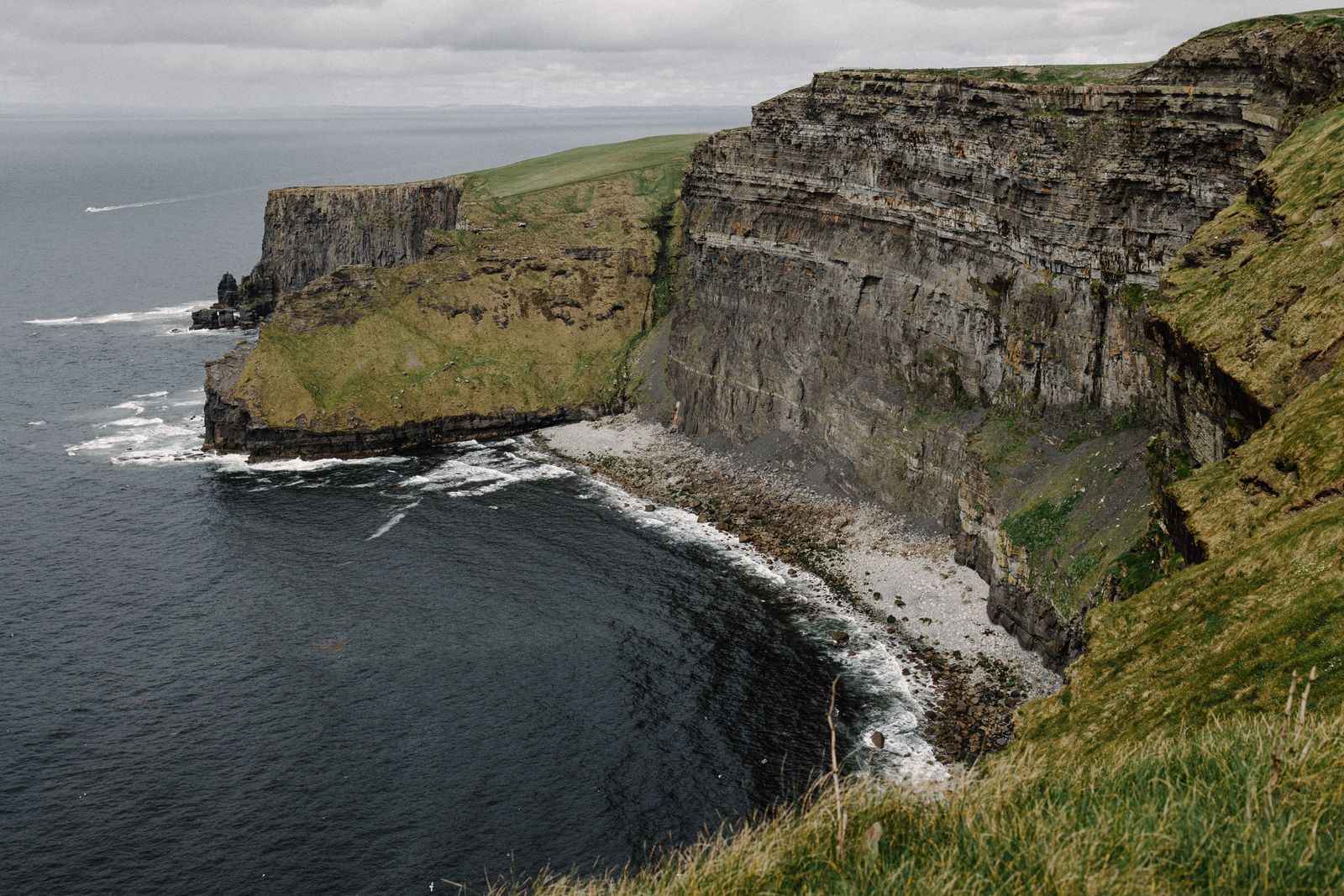
The cliffs rise straight out of the Atlantic on the west coast of County Clare, between the village of Doolin and Hag's Head. On a clear day the Aran Islands and Galway Bay are visible to the north.

The visitor centre

The visitor centre is built into the hillside, so it barely shows from the cliff path. It holds an exhibition on the geology and wildlife of the cliffs, along with a café and shops.

Entry is ticketed, and booking ahead is advised in summer. Opening hours change through the year; check the official Cliffs of Moher website for your date.

O'Brien's Tower

A round stone tower near the highest point of the cliffs, built in 1835 by Cornelius O'Brien as a viewing point for visitors. It looks south along the length of the cliffs towards Hag's Head.
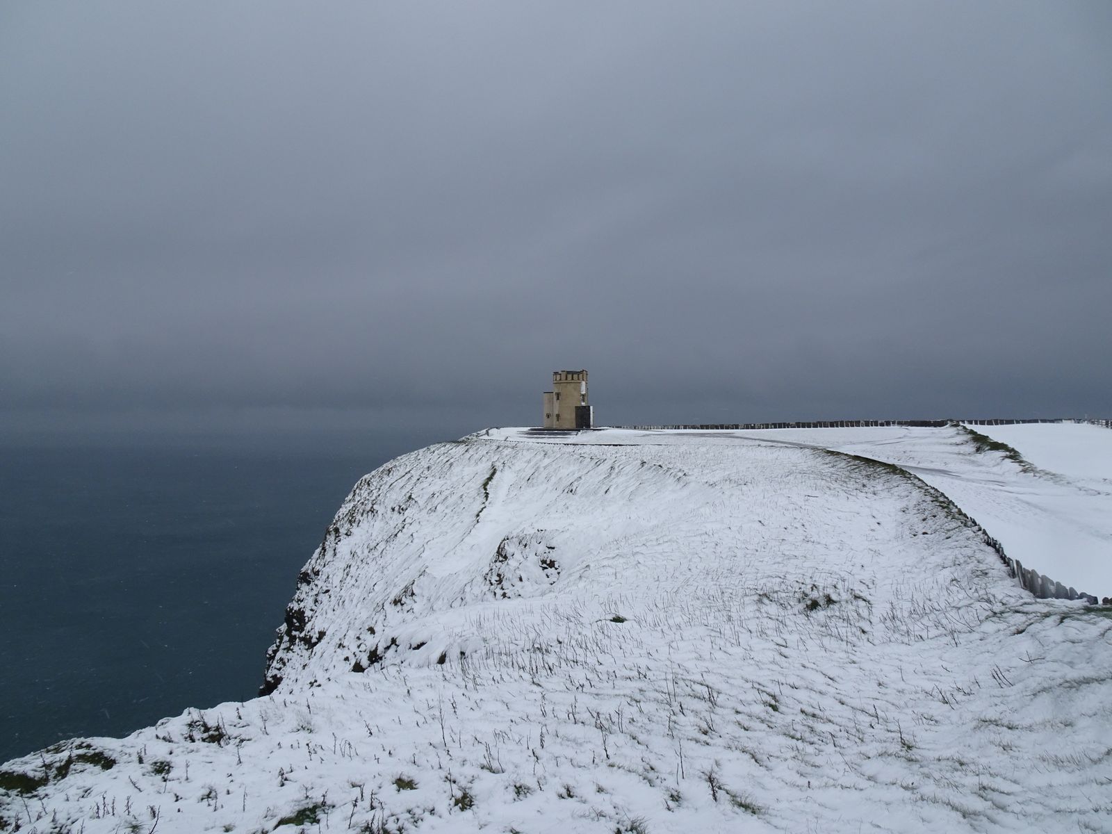
Snow on the Cliffs of Moher and O'Brien's Tower
O'Brien's Tower on a winter day

The coastal walk

The Cliffs of Moher Coastal Walk follows the cliff top from Doolin to Hag's Head, passing the visitor centre on the way. Sections are narrow and run close to the edge, and there is no fence outside the area around the visitor centre.

Guided walks leave from Doolin, and the path can be walked in either direction.

Stay on the marked path and well back from the edge, especially in wind or after rain.

Seabirds

The cliffs are an important breeding site for seabirds, including puffins, razorbills, guillemots and kittiwakes. Puffins are usually present from spring into midsummer.

From the water

Boats from Doolin pier sail below the cliffs in season, showing their full height from sea level. Sailings depend on the weather and the sea, so check with the operator on the day.
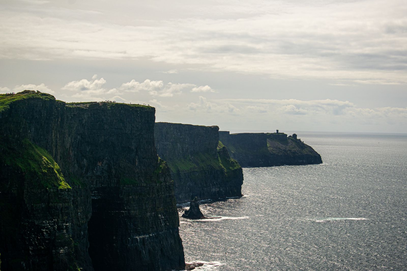
The Cliffs of Moher above the Atlantic
The cliffs from the south

Part of a geopark

The cliffs belong to the Burren and Cliffs of Moher UNESCO Global Geopark. Their layers of sandstone, siltstone and shale were laid down around 320 million years ago, at the mouth of a large river.
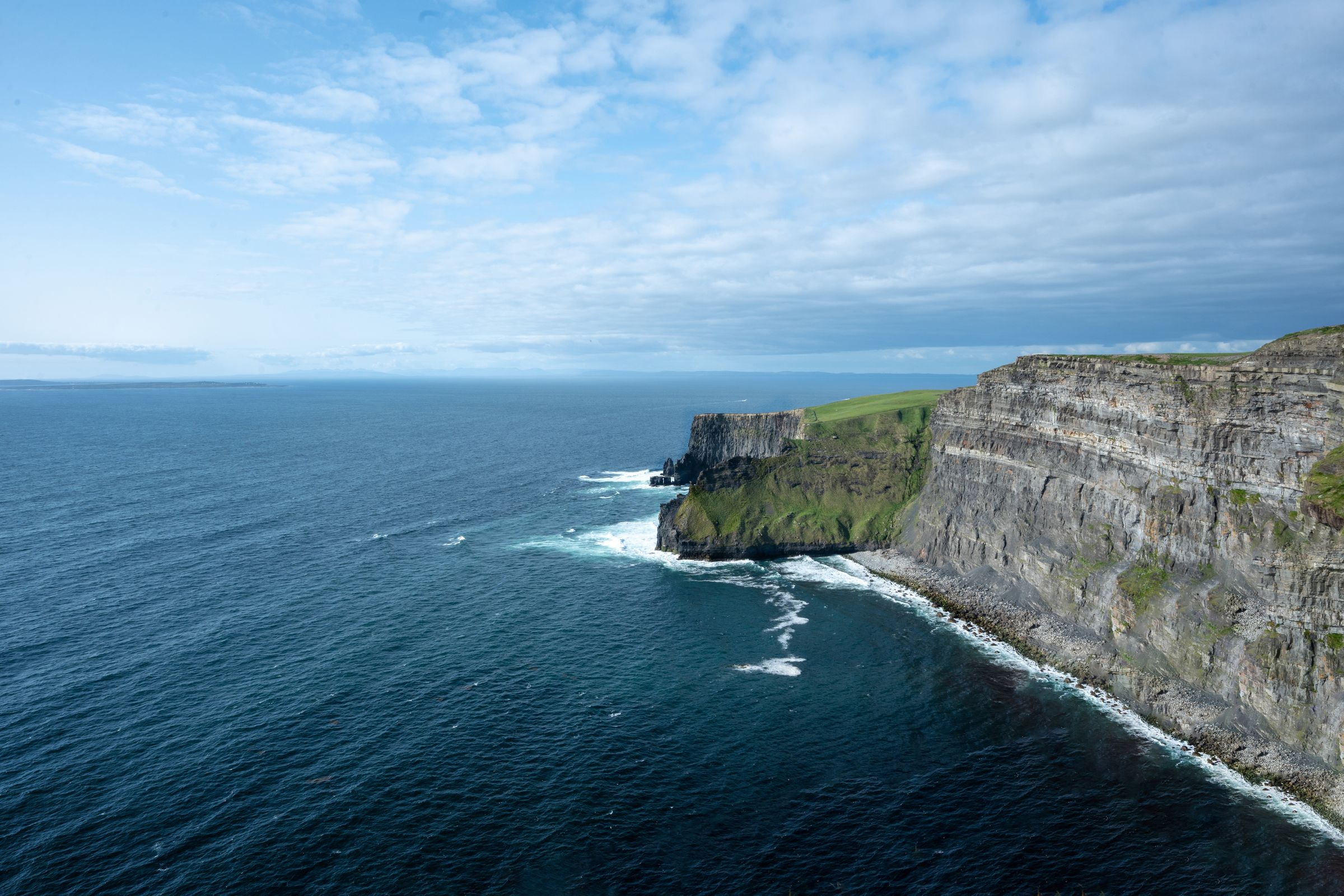
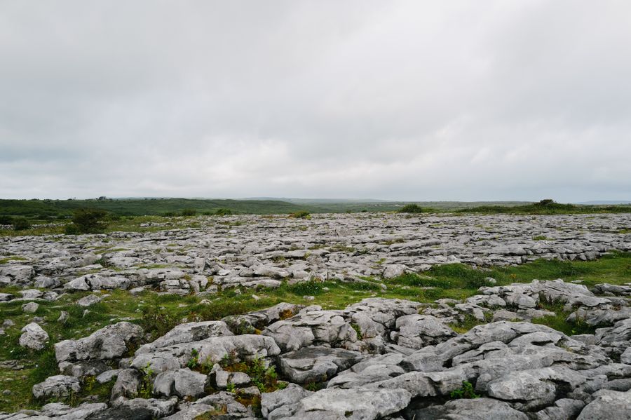
Aerial view of the Cliffs of Moher and the Atlantic

Wind off the Atlantic, and a sheer drop to the sea.

The Cliffs of Moher, County Clare

Eolas · Good to knowBefore you visit.

01

Come early or late

Coach tours tend to arrive in the middle of the day. Mornings and evenings are quieter.

02

Wind and edges

Gusts are strong on the cliff top. Keep to the path and well back from the edge.

03

By bus

Buses between Galway and Ennis stop at the visitor centre. Check Bus Éireann for times.

04

Where to stay

Doolin, Liscannor and Lahinch are the nearest villages with places to stay.

Ceisteanna · QuestionsAsked often.

How long should I spend at the Cliffs of Moher? +

Two to three hours covers the visitor centre, O'Brien's Tower and a stretch of the path. The full coastal walk takes most of a day.

Do I need to book? +

Booking ahead is advised in summer and at weekends, through the official Cliffs of Moher website.

Can I walk there from Doolin? +

Yes. The coastal walk runs from Doolin to the visitor centre and on to Hag's Head.

What is there to see at the visitor centre at the Cliffs of Moher? +

The centre is built into the hillside and holds an exhibition on the geology and wildlife of the cliffs, plus a café and shops. Entry is ticketed. Opening hours change through the year, so check the official Cliffs of Moher website for your date.

What is O'Brien's Tower and where does it stand? +

O'Brien's Tower is a round stone tower near the highest point of the cliffs, built in 1835 by Cornelius O'Brien as a viewing point. It looks south along the length of the cliffs towards Hag's Head. It stands close to the visitor centre.

Is the cliff path fenced? +

There is no fence outside the area around the visitor centre, and sections of the coastal walk are narrow and run close to the edge. Stay on the marked path and well back from the edge, especially in wind or after rain.

When can I see puffins at the Cliffs of Moher? +

The cliffs are an important breeding site for seabirds, including puffins, razorbills, guillemots and kittiwakes. Puffins are usually present from spring into midsummer, nesting on the cliffs and offshore islands. Dates shift with the season and weather, so check with BirdWatch Ireland for current nesting times before planning a visit around them.

Can I see the cliffs from a boat? +

Boats from Doolin pier sail below the cliffs in season, showing their full height from sea level. Sailings depend on the weather and the sea, so check with the operator on the day. The boats are run by private operators.

How were the Cliffs of Moher formed? +

The cliffs belong to the Burren and Cliffs of Moher UNESCO Global Geopark. Their layers of sandstone, siltstone and shale were laid down around 320 million years ago, at the mouth of a large river. The exhibition in the visitor centre covers the geology.
Keep exploring.

Lóistín · Where to stayWhere to stay in Doolin.340 stays in the Doolin region, each with its own page: photos, location and guest reviews.
Hotels in Doolin

Check before you go: Cliffs of Moher Experience (Clare County Council), Burren and Cliffs of Moher UNESCO Global Geopark, Bus Éireann.