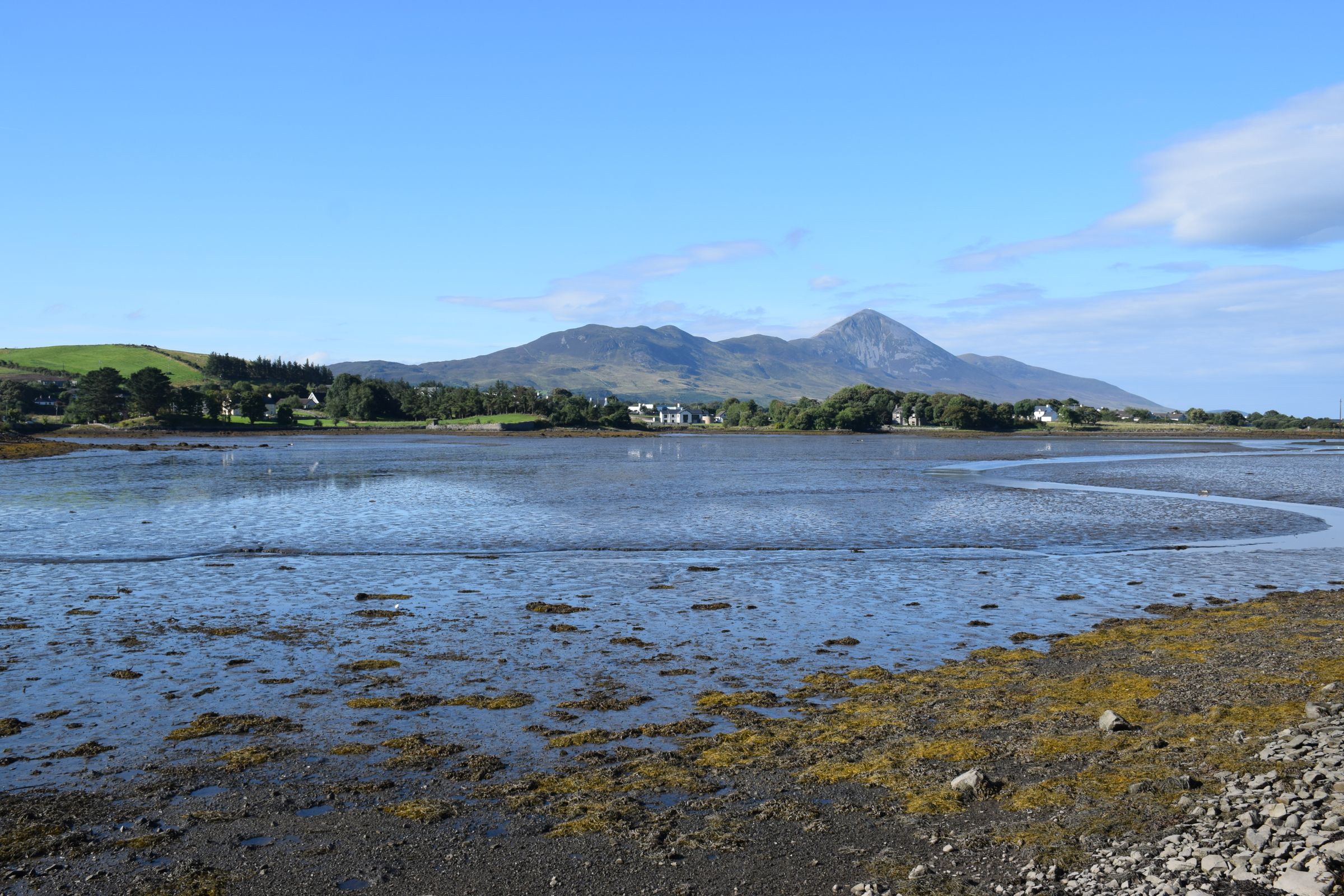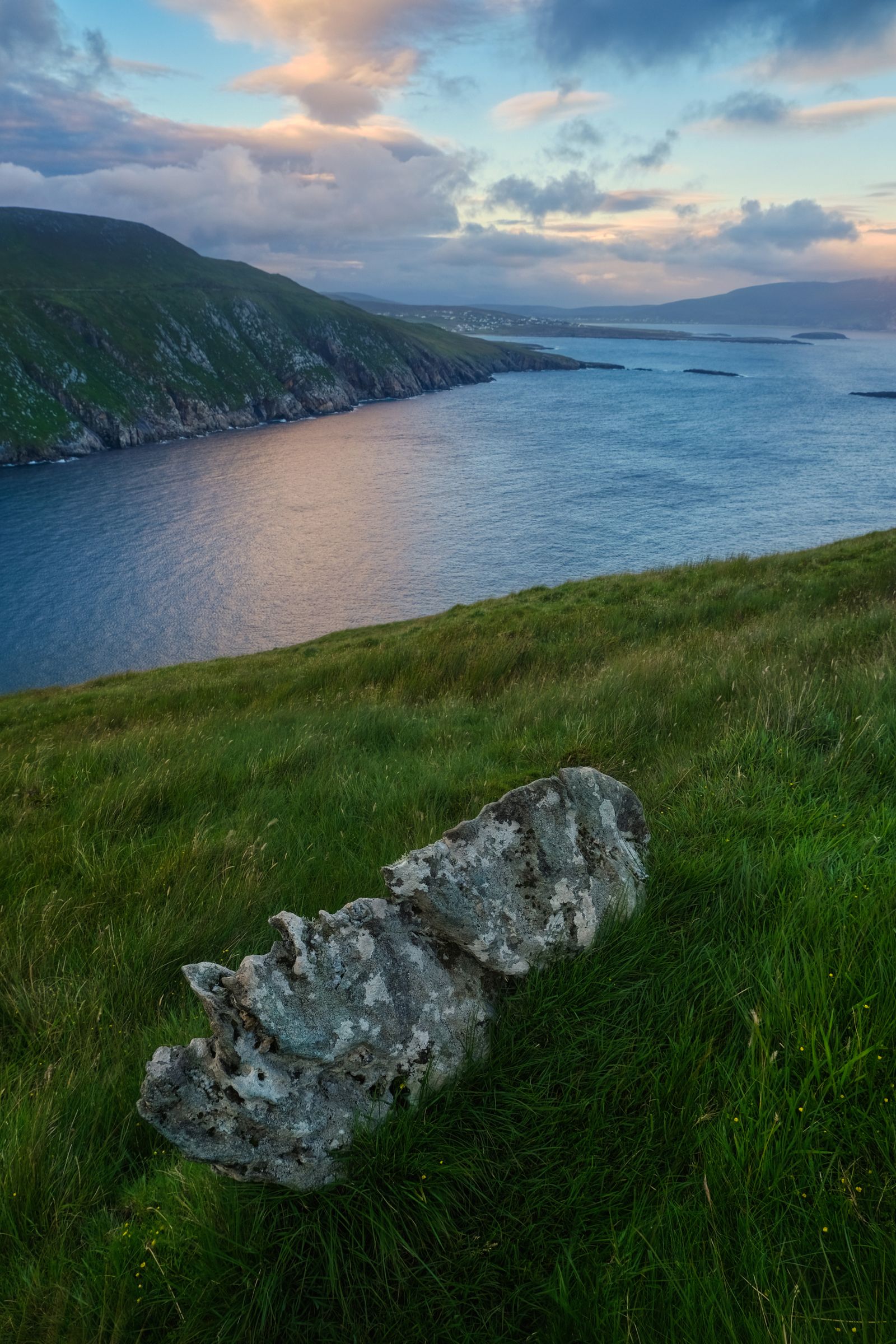
The Wild Atlantic Way is a waymarked driving route that follows the west coast of Ireland from the Inishowen peninsula in Donegal to Kinsale in Cork. It is not a single road but a signed trail through towns, headlands and peninsulas. This guide sets out the stages and the towns that work as bases.
What the route is
The Wild Atlantic Way is a touring route rather than a road you can follow end to end without turning off. It is waymarked with a distinctive sign, and it threads through coastal towns, over headlands and around peninsulas. Much of it runs on ordinary regional roads, with sections of quieter lane and some larger roads near the cities.
Fáilte Ireland promotes the route and the waymarking is maintained along its length. Because it follows the coast, the driving is slower than the distance on a map suggests. Towns, inlets and peninsulas add time, and a stretch that looks short can take most of a day.
The route lies entirely in the Republic of Ireland, so distances are in kilometres and speeds in km/h. Traffic drives on the left. Petrol and diesel are sold in litres, and the euro is the currency throughout. Nothing here is a single booking, so plan each stage as its own day.
Donegal and the north
The northern end begins on the Inishowen peninsula, where the route reaches Malin Head and the coast around it. From there it works west and south through Donegal, past Sliabh Liag, one of the highest sea cliffs in Europe, and on towards Donegal town. This is remote country, with long stretches between villages.
Letterkenny and Donegal town are the practical bases for this section. Both have shops, fuel and places to stay, and both sit on main roads that connect to the rest of the county. Smaller villages along the coast work for a night or two but have fewer services.
Parts of Donegal are Gaeltacht areas, where Irish is the community language and road signs are in Irish only. A map with English place names alongside is useful. The weather here is wet and changeable, so allow for days when the cliffs are in cloud.
Sligo and Mayo
South of Donegal the route crosses into Sligo, passing Benbulbin and the coast around Mullaghmore before turning inland towards Ballina and the Mayo coast. Sligo town is the main base for this stretch, with rail connections and a compact centre. Westport, further south, serves the southern part of Mayo.
The Mayo coast brings in Clew Bay, with its many small islands, and the road around Achill Island, which is reached by a bridge and needs no ferry. A traffic-free trail for walking and cycling links Westport with the villages towards Achill, giving an alternative to the car for part of the way.
This is a long section with a lot of turning off the main road. Two or three nights in Westport or Sligo lets you cover the coast without spending every day in the car. Fuel and food are widely available in the towns but sparse on the headlands.
Galway and Connemara
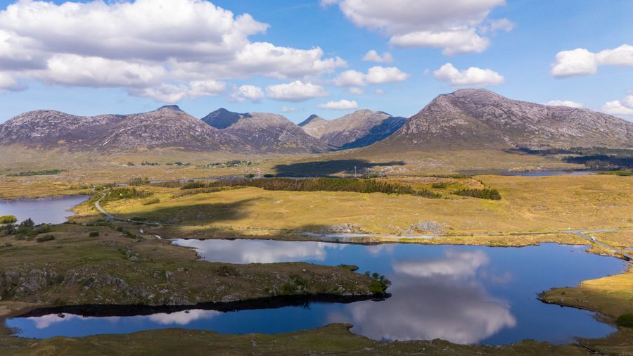
The route runs through Connemara, past Kylemore Abbey and the Twelve Bens, into Galway city and then south along the Clare coast. Galway city is the natural base for this section, with rail and coach connections, a busy centre and access to both Connemara and the Burren. Clifden and Oughterard are smaller alternatives in Connemara itself.
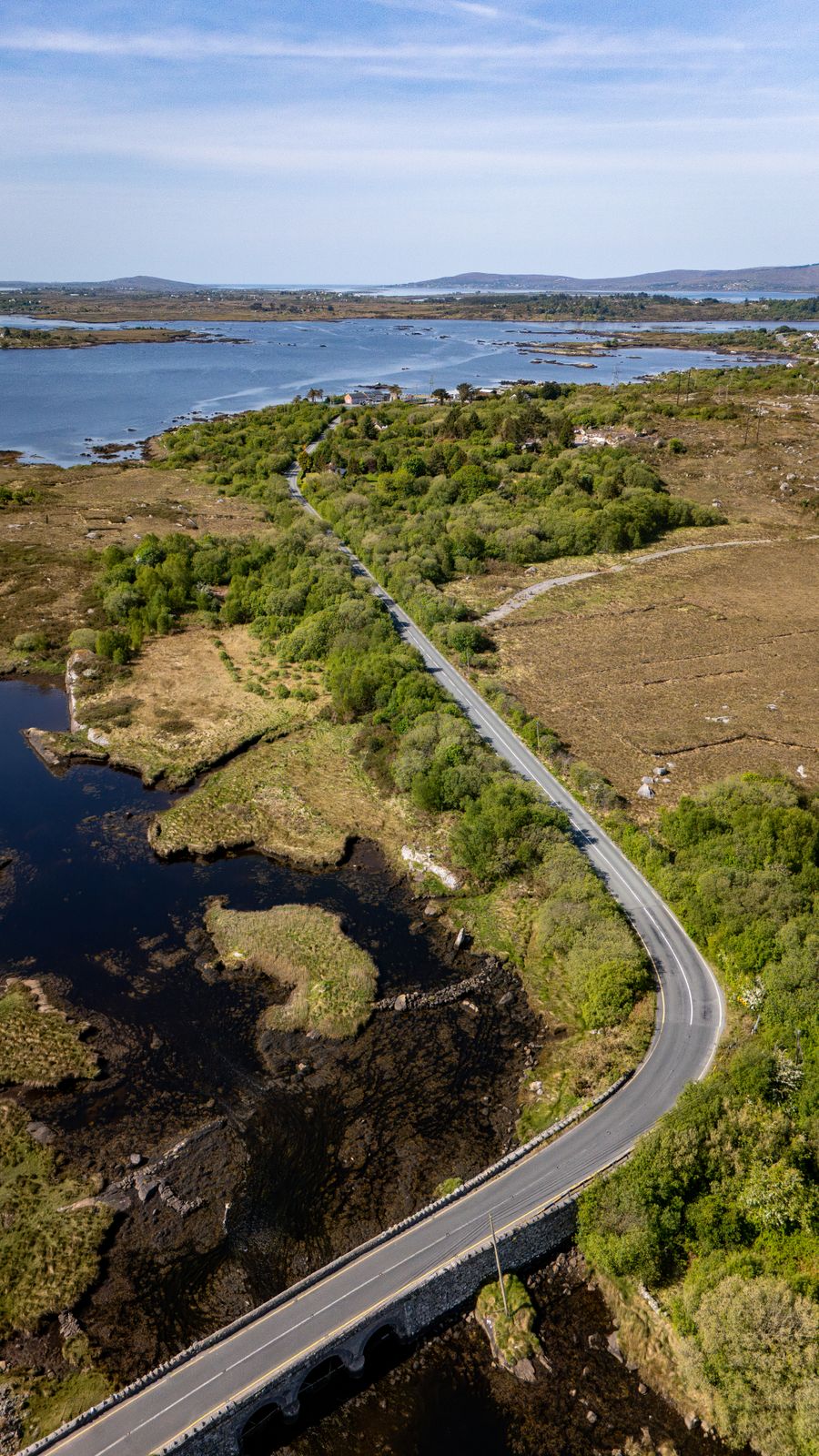
Connemara is largely Gaeltacht country, and Irish is the everyday language in parts of it. The roads are narrow in places, with passing places on some minor routes. The coast here is deeply indented, and the route follows inlets and headlands rather than running straight.
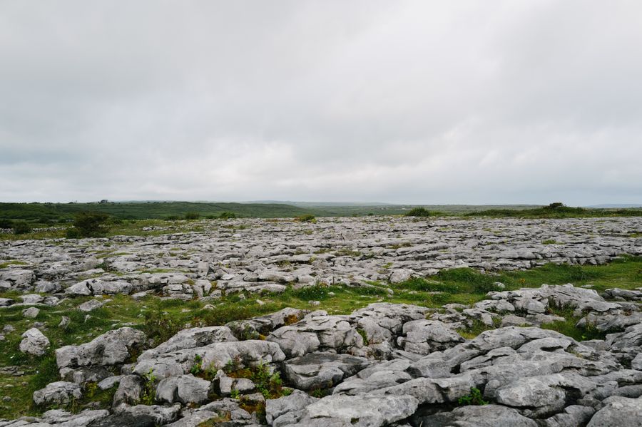
South of Galway the route reaches the Burren and the Cliffs of Moher, where parking and visitor facilities are managed and a charge applies at the main car parks. Doolin and the villages around the Burren make good bases for this stretch.
Clare and Kerry
From the Burren the route crosses the Shannon by ferry or by road through Limerick, then follows the Kerry coast. The Ring of Kerry loops the Iveragh Peninsula from Killarney, and the Dingle Peninsula has its own coastal road, the Slea Head Drive. Both are signed and both are busy in summer.
Killarney is the established base for the Ring of Kerry, with rail connections and a wide choice of places to stay. Dingle town serves the Dingle Peninsula. Tralee and Listowel are useful for the northern part of Kerry. The peninsulas are narrow, and large vehicles meet often on the minor roads.
Skellig Michael lies off the Iveragh coast and is reached by licensed boats in the summer season only, weather permitting. Landings are limited, and the Office of Public Works manages the island. Bookings and sailing decisions rest with the operators and the OPW, so check before building a day around it.
Boat landings at Skellig Michael run in summer only and depend on the weather. Check with the Office of Public Works before planning the day.
West Cork and the south
The final stretch runs through West Cork, around the Sheep's Head and Mizen peninsulas, to Kinsale, where the route ends. This is a gentler coast than the west, with sheltered harbours and market towns. Clonakilty, Skibbereen and Bantry are the main bases, and Cork city is within reach for a longer stay.
The peninsulas here are quieter than those in Kerry, and the roads are narrow in places. Ferries run to some of the islands off the coast, including Cape Clear from Baltimore. Crossings depend on the weather, so check with the operator on the day.
Kinsale marks the southern end of the route. Cork city has rail and coach connections and an airport, which makes it a practical place to finish or to start a journey in the other direction. The route can be driven north to south or south to north.
Driving and where to base
The whole route takes several days to drive properly, and most people cover a section rather than the whole thing. A week allows a comfortable run through two or three counties. Trying to cover Donegal to Cork in a few days means long days in the car and little time on the coast.
Traffic drives on the left. Many roads are narrow, with passing places on minor routes, and farm vehicles and tour coaches are common in summer. Fuel stations are frequent in towns but rare on headlands. Tolls apply on some major roads, and payment methods vary.
The Galway region is a practical base for the middle of the route, with Connemara to the west and the Burren to the south. Galway city has rail and coach connections, and the smaller towns around it suit a quieter stay. Booking ahead helps in summer, when coastal towns fill up.
Timetables and seasonal services change. Check Transport for Ireland for buses and Iarnród Éireann for trains before relying on public transport.
Practical points
The route lies in the Republic of Ireland, so the euro and kilometres apply. Northern Ireland is a separate jurisdiction in the United Kingdom, with pounds and miles, and the Causeway Coastal Route covers that coast. There are no routine checks on roads crossing the border, but entry rules depend on your passport.
The climate is temperate and oceanic, and rain is possible in every month. The west is wetter than the east, and the hills catch more rain than the coast. Daylight runs from about 17 hours around the June solstice to about 7.5 hours in late December, which affects how much can be driven in a day.
Emergency numbers are 112 and 999 on both sides of the border. Plugs are the three-pin type G throughout the island. Mobile coverage is patchy in parts of the hills and on some headlands, so download maps before setting out.