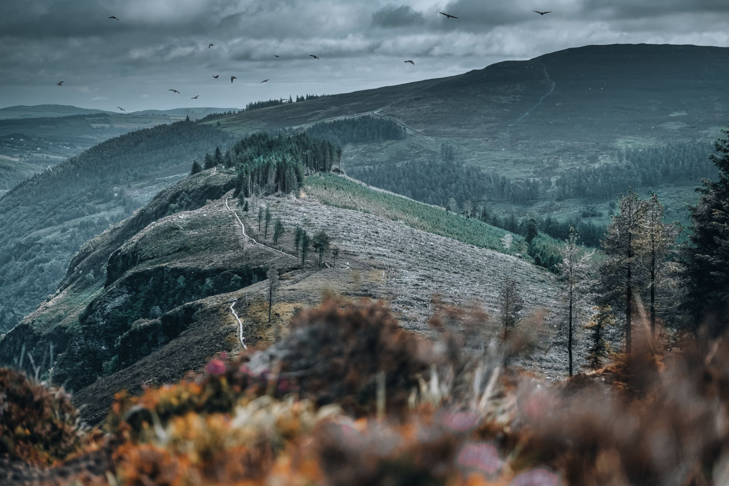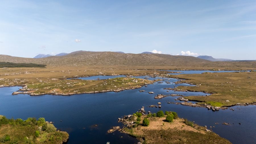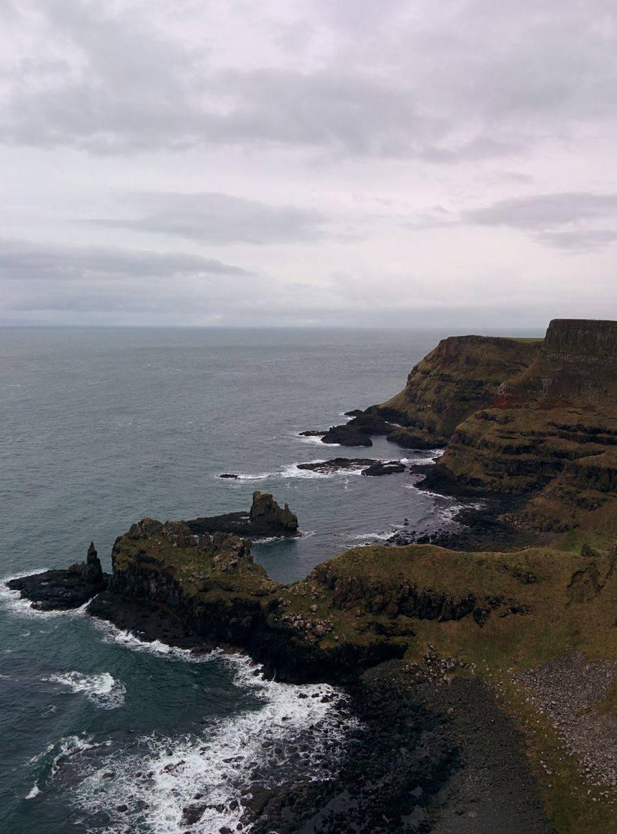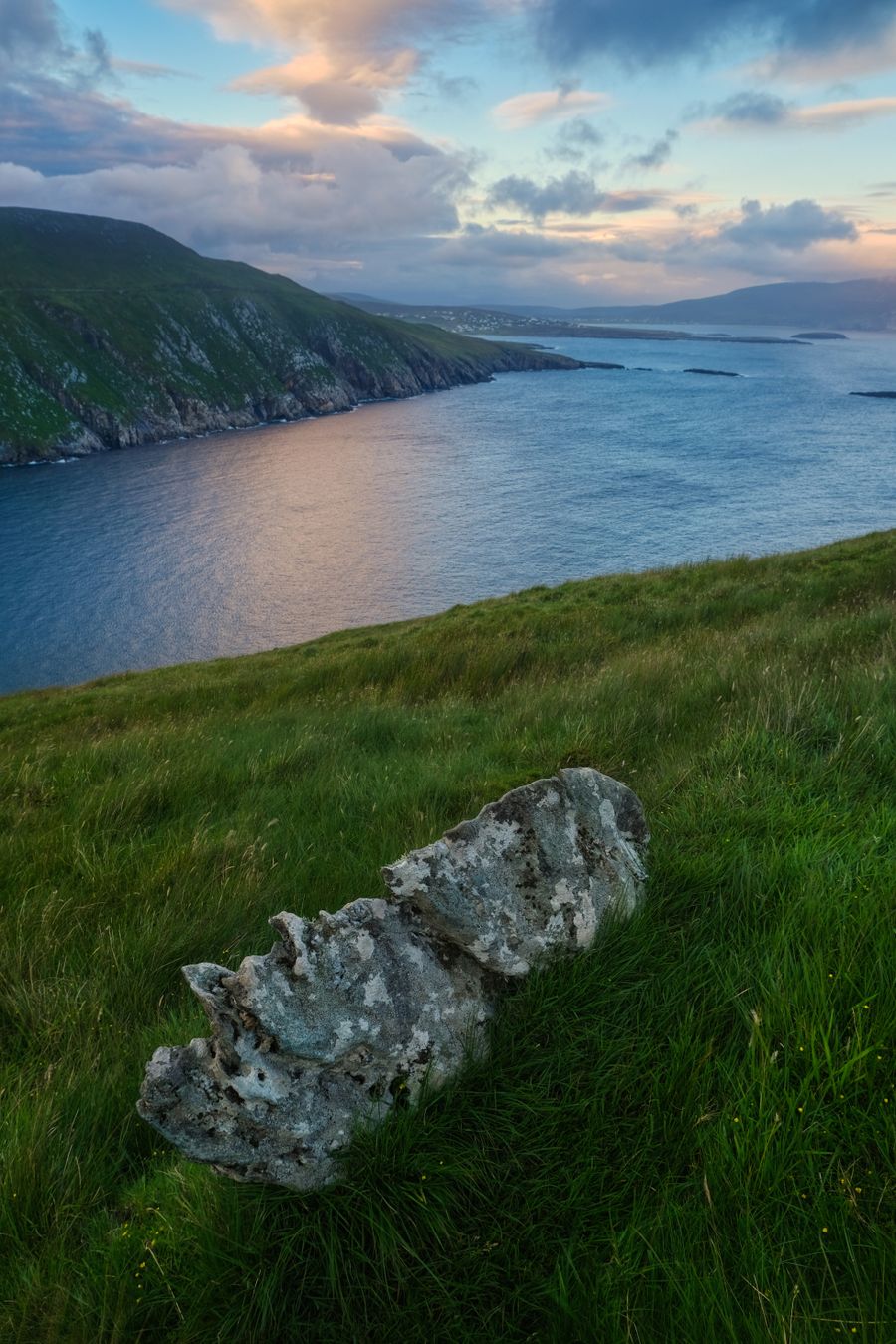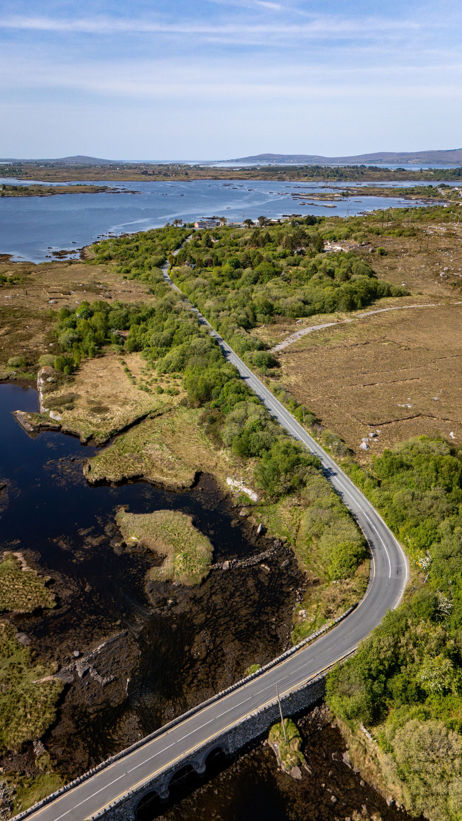
A car opens up the west and the peninsulas, where buses run thinly and some of the best scenery sits between villages. Driving here is manageable once you know the rules, the road types and the one line on the map where the units change.
Which side you drive
Traffic drives on the left everywhere on the island, in the Republic of Ireland and in Northern Ireland alike. If you are used to driving on the right, the first hour after collecting a car is the one to concentrate on. Roundabouts run clockwise, and the left lane is the one that turns off.
Hire cars in the Republic are right-hand drive, with the gearstick on the right and the wipers and indicators the other way round from what many visitors expect. Take a moment in the car park to find the controls before pulling out.
Most hire agreements require a full licence held for a stated period, and rules on age and endorsements vary between companies. Check the terms of the rental firm before booking, and carry your licence with you while driving.
Licence and insurance rules differ between rental firms. Confirm requirements with the company before booking, and check the Irish Immigration Service for entry rules.
Kilometres and miles
The Republic of Ireland uses the euro, kilometres and km/h on its signs and speedometers. Northern Ireland is part of the United Kingdom and uses pounds sterling, miles and mph. The change happens at the border, and there are no routine checks on the roads that cross it.
This matters most on a touring holiday that crosses the border, such as a run from Sligo into Donegal and on towards Derry~Londonderry. A car hired in one jurisdiction can usually be taken into the other, but tell the rental company if you plan to cross.
Speed limits are posted in the local unit, so a limit shown as 100 on a sign in the Republic is km/h and a limit shown as 60 in Northern Ireland is mph. Read the sign and the unit together rather than assuming a number means the same on both sides.
Roads and speed
Motorways (marked M) link Dublin with Belfast, Cork, Galway, Limerick, Waterford and the west, and are the quickest way out of the cities. National roads (N) connect the main towns. Regional and local roads (R and L) do the rest, and these are where the character of Irish driving shows.
Many local roads are single track with passing places, bounded by hedges or stone walls, and a tractor or a sheep may be around the next bend. Drive at a speed that lets you stop within the distance you can see, and pull into a passing place to let oncoming traffic through.
In Northern Ireland the main routes are motorways (M) and A roads, with B roads below them. The Causeway Coastal Route between Belfast and Derry~Londonderry is a signed touring route on these roads, and the coastal stretches are slow going in season.
Speed limits and road closures change with works and weather. Check current conditions with Transport Infrastructure Ireland in the Republic or Trafficwatch NI in Northern Ireland.
Towns and parking
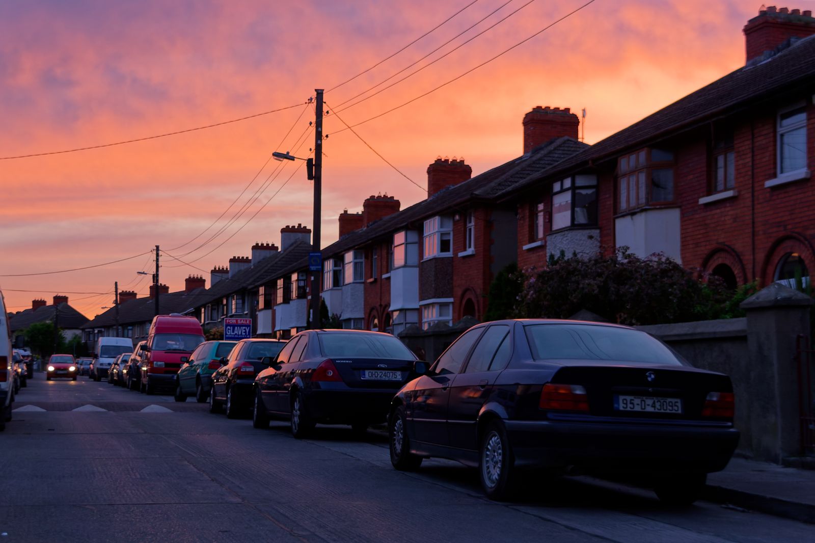
Town centres on the island are often old, with one-way systems, narrow streets and limited parking. In Dublin, Cork, Galway and Belfast, parking is charged in most central areas and controlled by discs, meters or barriers. Multi-storey car parks sit on the edge of the centre in each.
Parking discs are used in some towns: you buy a disc from a shop or machine and display it with the time set. Rules vary by local authority, so read the sign on the street rather than assuming a system carries over from the last town.
For a first trip by car, Dublin makes a workable base for the east, with the Wicklow Mountains and Glendalough within an easy drive south. Kilkenny and Waterford suit a southern loop, while Galway city and Westport serve the west.
Fuel and charging
Petrol and diesel stations are common along national roads and in towns, and rarer on quiet local roads in the west. Fill up before heading into remote areas such as Connemara, west Donegal or the Iveragh Peninsula, where the next station may be some distance on.
Unleaded petrol and diesel are sold at most stations, and the pumps are usually marked in the local language as well as English. Payment is at the till or by card at the pump, depending on the station.
Electric charging points are spread across the island but thin out in rural areas. Charging networks are run by different operators on each side of the border, and each has its own app or card. Plan charging stops before a long day in the west.
Weather and daylight
The climate is temperate oceanic, with mild winters and cool summers, and rain is possible in every month. The west and the hills are wetter than the east. Wet roads, low cloud on high ground and sudden showers are part of a normal driving day in the west.
Daylight in Dublin runs from about 17 hours around the June solstice to about 7.5 hours in late December. In winter, plan drives to finish before dark, especially on unlit local roads. In summer, long evenings make an after-dinner drive feasible.
Coastal fog and wind affect some routes, and mountain roads can be affected by ice in winter. Check the forecast with Met Éireann in the Republic or the Met Office in Northern Ireland before setting out on a long drive.
Forecasts change quickly on the west coast. Check Met Éireann in the Republic or the Met Office in Northern Ireland before a long drive.
Crossing the border
The border between the Republic and Northern Ireland is open, with no routine checks on the roads that cross it. You may pass from one jurisdiction to the other without noticing, apart from the change in signs, units and currency.
If you are driving a hire car across, tell the rental company in advance and check that insurance covers both jurisdictions. Some policies restrict cross-border travel, and the terms differ between firms.
In Northern Ireland, road signs and speed limits are in miles, fuel is sold in pounds sterling, and the emergency number is the same, 112 or 999. Entry rules for visitors depend on the passport held: check the Irish Immigration Service for the Republic and gov.uk for Northern Ireland.