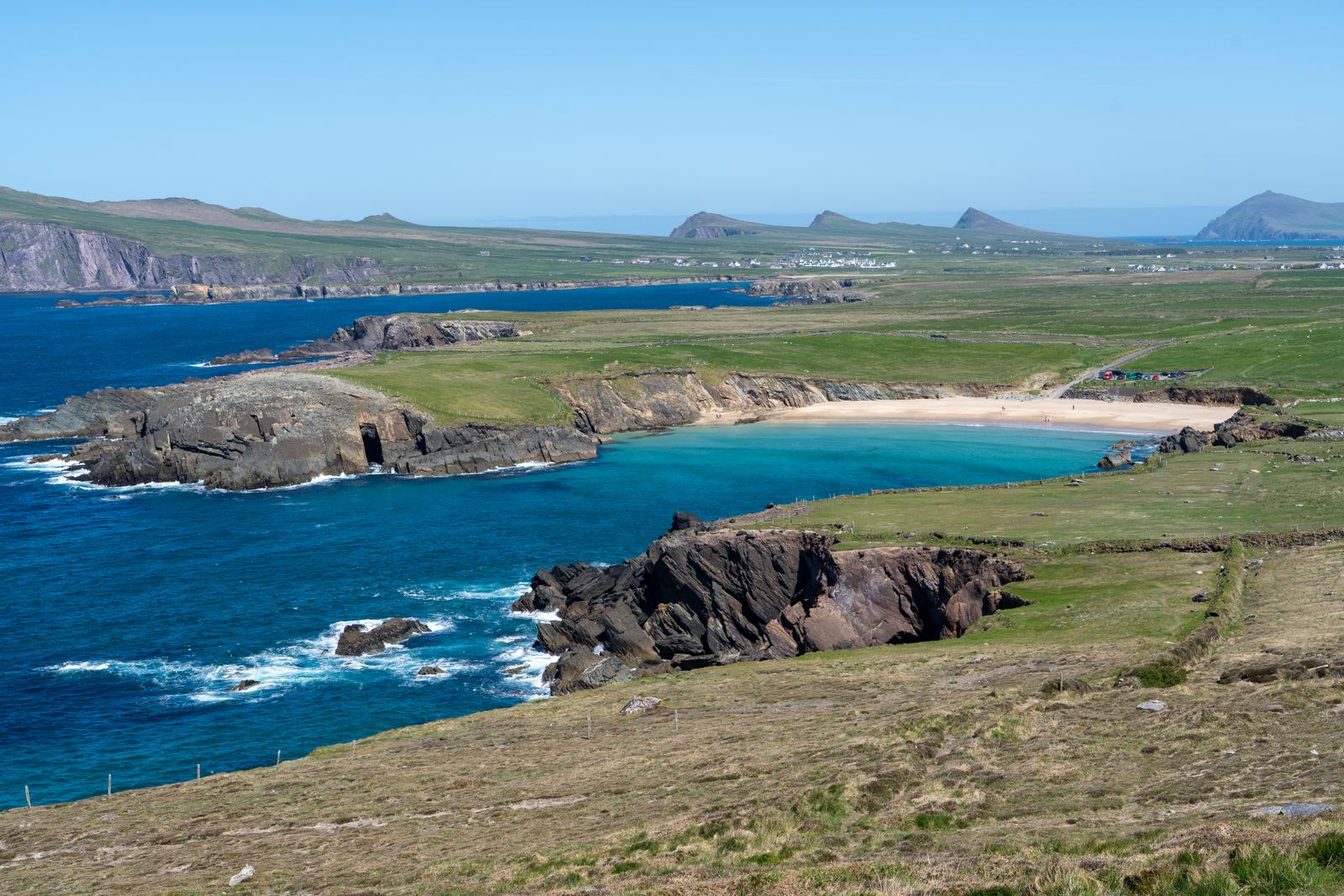
The Slea Head Drive is a signed loop around the tip of the Dingle Peninsula in County Kerry. It starts and ends in Dingle town and passes through the Gaeltacht village of Ventry before rounding Slea Head itself, facing the Blasket Islands.
The route
The drive begins in Dingle town and follows the R559 west along the north side of the peninsula to Ventry. From there it turns south and west around the coast, passing Slea Head before returning east along the southern shore to Dingle. The loop is usually driven clockwise, but either direction works.
The road is narrow in places, with passing places and blind bends. It climbs and dips along the coast, and the surface can be wet even when the weather in Dingle is dry. Allow time for slow traffic, walkers and cyclists, especially in summer.
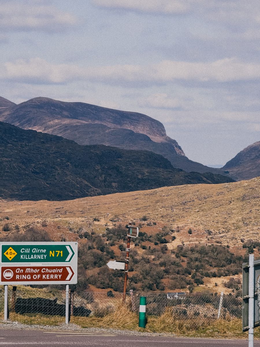
Signs for the Slea Head Drive are in Irish in the Gaeltacht areas. The route is waymarked, but a map or offline navigation helps where signs are sparse. The loop can be driven in a few hours without stops, but most visitors take a full day.
Check road conditions and weather with Met Éireann before setting out, and allow extra time for narrow sections.
Slea Head
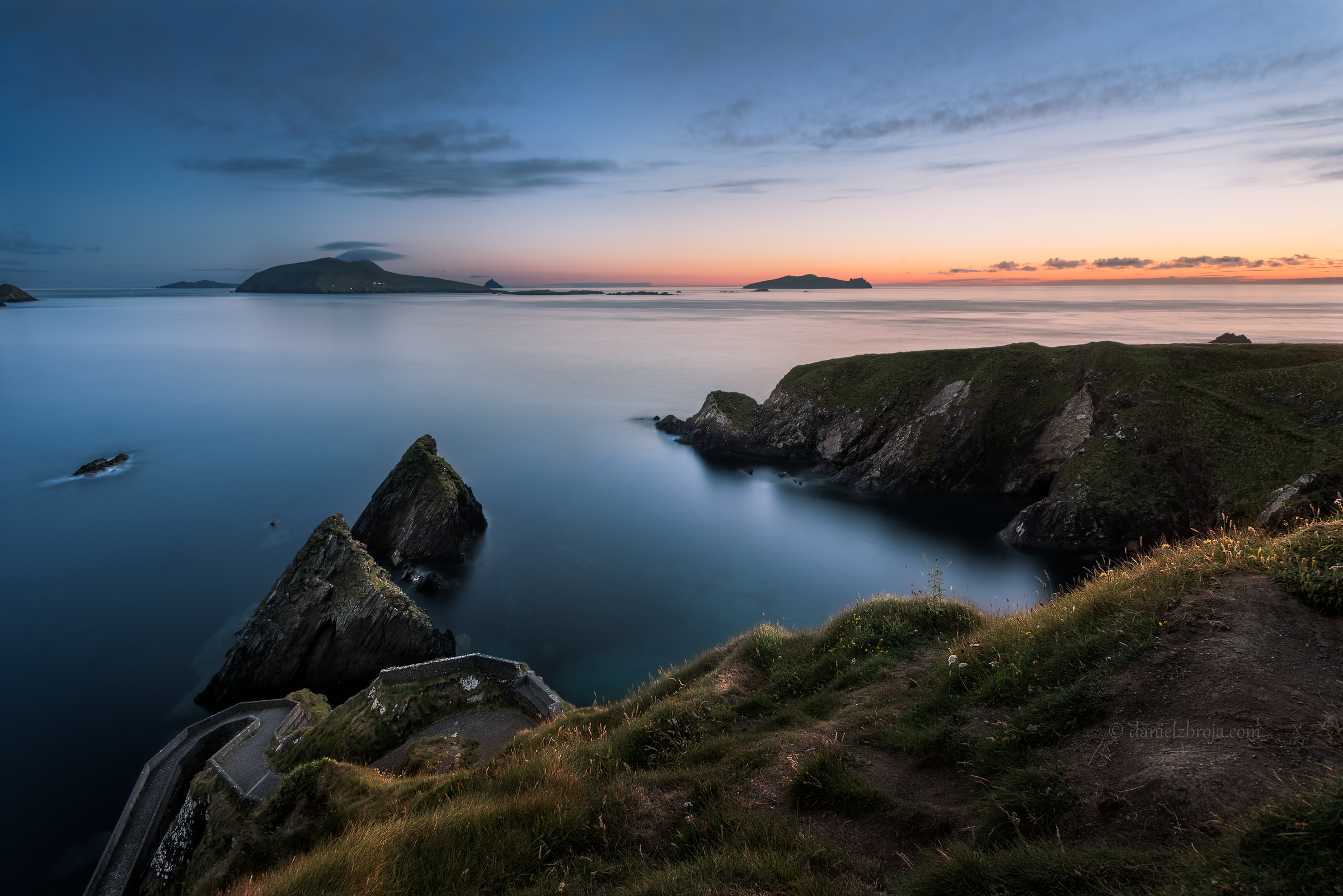
Slea Head is the western tip of the peninsula, where the road runs close to the cliff edge. On a clear day the Blasket Islands lie offshore to the west, and the Skellig Islands can sometimes be seen to the south. The headland is exposed, and wind is common.
There is a small parking area near the tip, but it fills quickly in summer. The view takes in the sea, the islands and the rocky shore below. Information boards explain the history and wildlife of the area.
The head is a good place to pause and look out, but the road is narrow and passing traffic needs care. Walkers and cyclists share the route, so drive slowly and give them room.
The Blasket Islands
The Blasket Islands lie a few kilometres off Slea Head. The main island, Great Blasket, was inhabited until the mid twentieth century, and its writers left a record of island life. The islands are now uninhabited apart from seasonal visitors.
Boats to Great Blasket run from Dunquin pier in season, weather permitting. The crossing is short but can be rough. Landings depend on sea conditions, so check with the operator on the day and allow for cancellation.
The Blasket Centre in Dunquin tells the story of the islands and their writers. It is run by the Office of Public Works and is ticketed. The centre is a good stop before or after the boat trip, or as an alternative if sailings are cancelled.
For sailings to the Blasket Islands, check with the boat operator on the day; crossings are weather dependent.
Dunquin and Ventry
Dunquin is a small village near the western end of the drive, with a pier and a beach. The road down to the pier is steep. The village is a good place to stop for a view of the islands and to watch the weather change over the sea.
Ventry is closer to Dingle, on the north side of the peninsula. It has a long sandy beach and a safe swimming area in calm weather. The beach is popular with families and walkers, and there is parking near the strand.
Both villages are in the Kerry Gaeltacht, where Irish is the community language. Road signs are in Irish only. English is spoken, but a few words of Irish are appreciated.
Archaeology
The peninsula has a dense concentration of early Christian and medieval remains. The Gallarus Oratory is a small stone church with a corbelled roof, built without mortar. It is a short detour from the main loop and is ticketed.
Further west, the ruins of the old church at Kilmalkedar include a Romanesque doorway and an Ogham stone. The site is free to visit and is a quiet stop away from the main road.
Beehive huts and standing stones are scattered across the hillsides. Some are on private land, so respect fences and signs. The Dingle Peninsula has been settled for thousands of years, and the landscape is full of small monuments.
Walking and beaches
The Slea Head Drive is also a walking route. The road is narrow and has no footpath for much of its length, so walkers should take care and wear bright clothing. The Dingle Way long-distance trail passes through the peninsula and crosses the slopes above the road.
Beaches along the route include Ventry strand and the smaller coves near Dunquin. Swimming is possible in calm weather, but there are no lifeguards on most beaches. Check tides and sea conditions before entering the water.
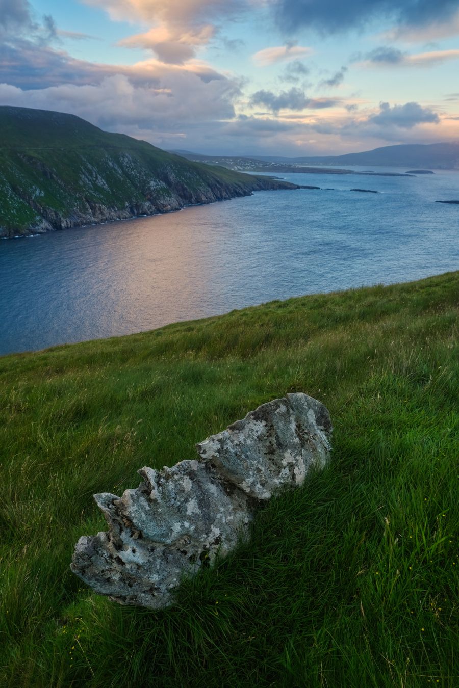
The cliffs and hills above the road offer views but are exposed. The weather can change quickly, and mist can reduce visibility. Carry a map and waterproofs, and tell someone your plans if walking a long section.
For walking conditions and weather warnings, check Met Éireann and the National Parks and Wildlife Service before setting out.
Practicalities
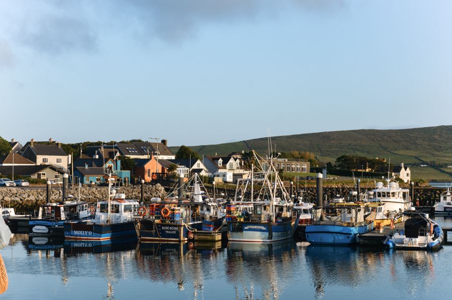
Dingle is the main town on the peninsula and the natural base for the drive. It has a range of accommodation, shops and restaurants. Ventry and Dunquin are smaller, with limited facilities, but they put you closer to the head.
The drive is best done by car, as public transport is limited. Buses run between Dingle and nearby towns, but services are infrequent. A car gives the freedom to stop at the viewpoints and archaeological sites along the way.
Fuel is available in Dingle, and there are few services further west. Mobile phone coverage can be patchy near the head. Bring food and water if you plan to spend the day exploring. The drive is free to use, but some sites along the way are ticketed.