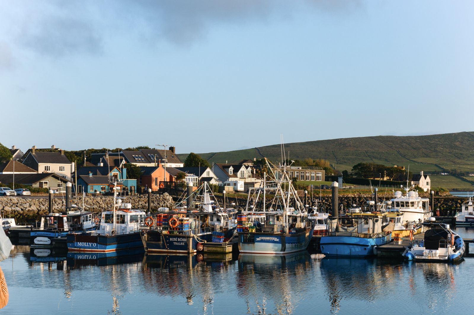
The Dingle Peninsula runs west from the Kerry lowlands into the Atlantic. A single mountain spine, the Slieve Mish and then Mount Brandon, divides a sheltered south coast from a more exposed north shore. Dingle is the only town of any size, and much of the west is Gaeltacht.
The shape of it
The peninsula begins east of Tralee and narrows as it runs west. The Slieve Mish Mountains stand across the neck near Camp, and beyond them the land opens into a low plain around Dingle town before rising again to Mount Brandon, the highest peak on the peninsula.
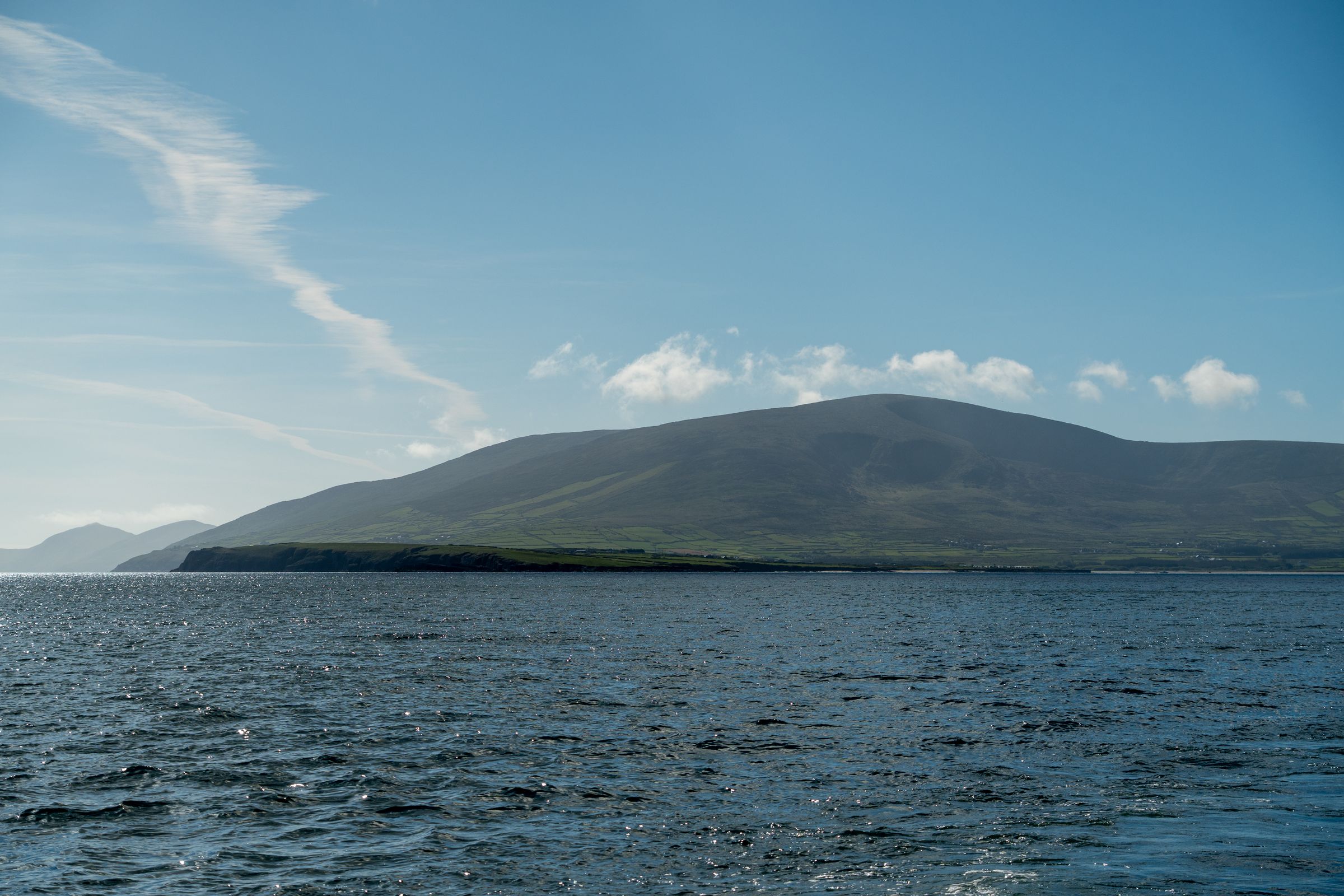
The south coast faces Dingle Bay and the Iveragh Peninsula beyond it. The north shore looks across to the Maharees and the wider mouth of Tralee Bay. The two coasts have different weather and a different feel, and a loop of the peninsula takes in both.
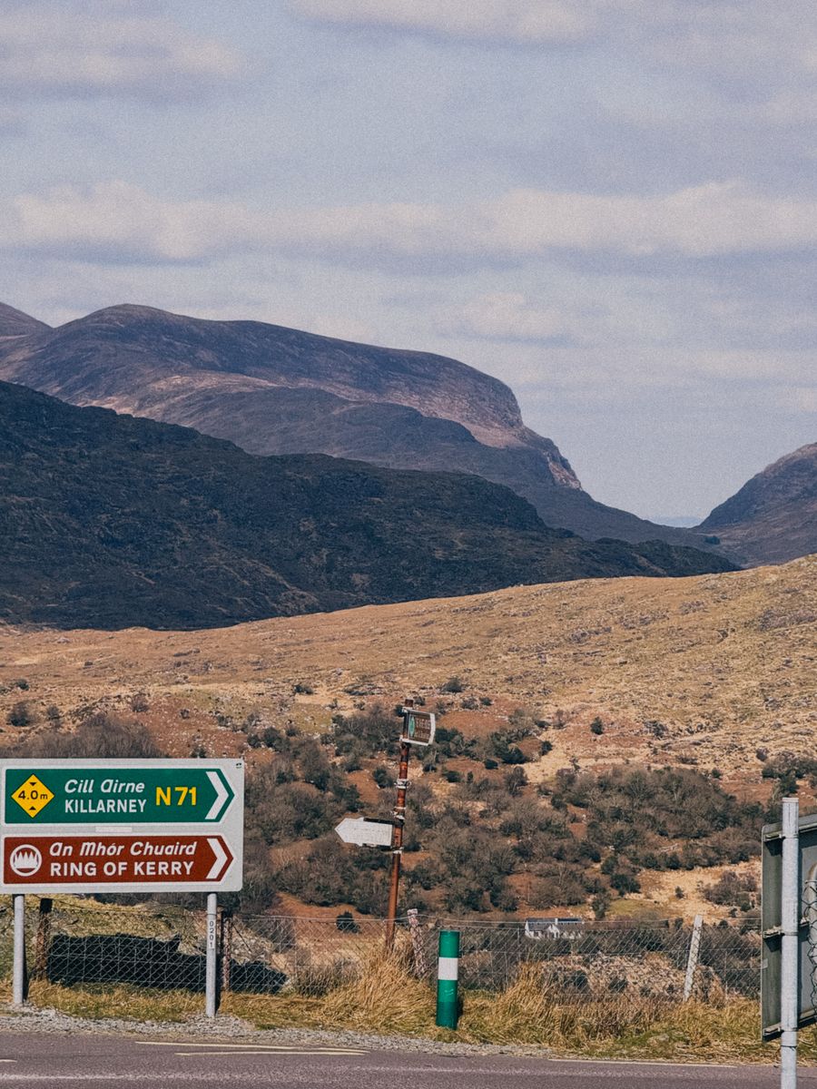
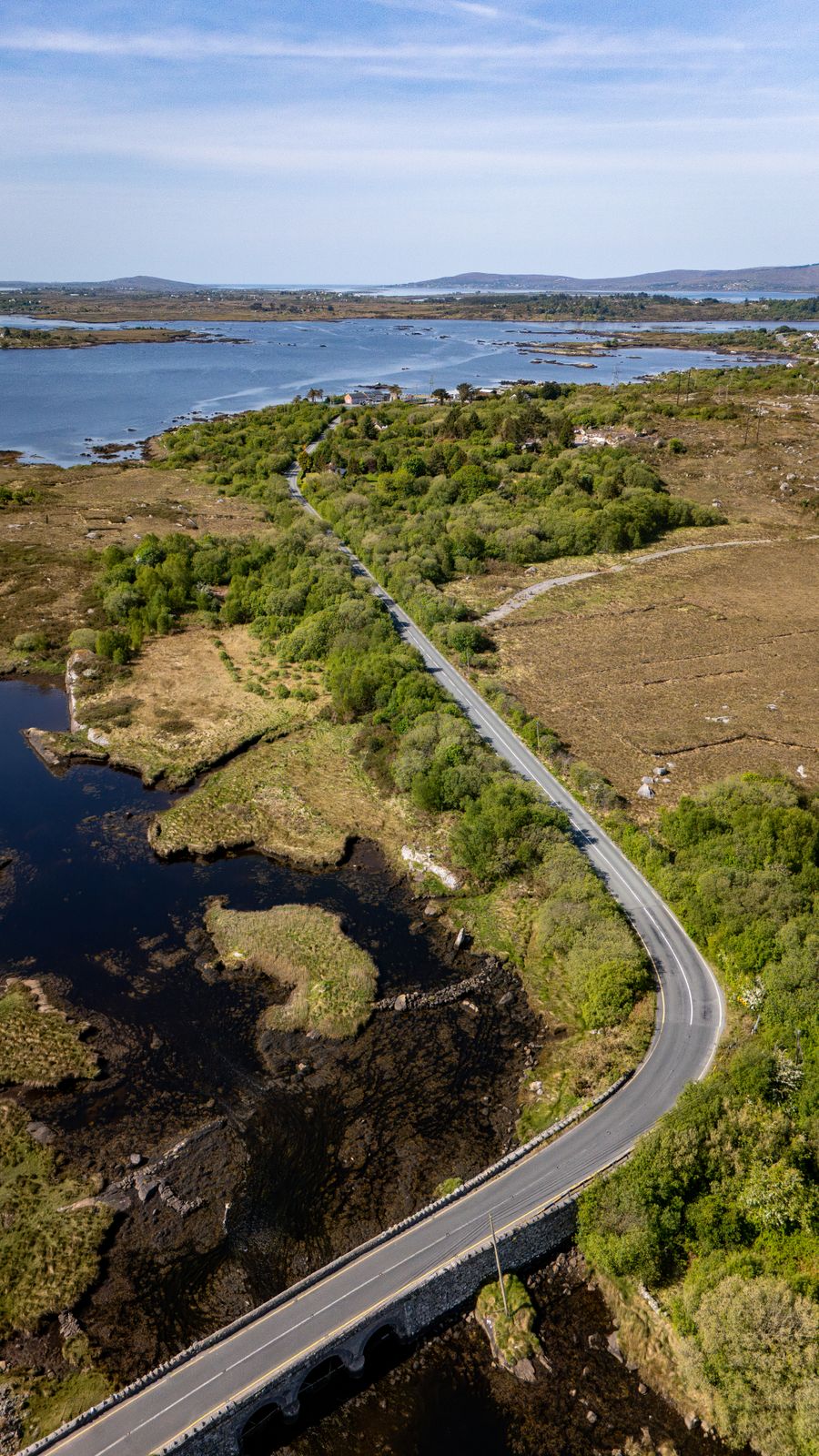
Most of the interior is farmland and bog, divided by stone walls, with a scatter of small lakes and rivers. The road network is narrow and winding, and the signed routes are the easiest way to follow the coast without missing the turns.
The Slea Head Drive
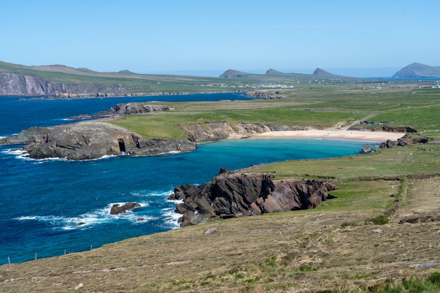
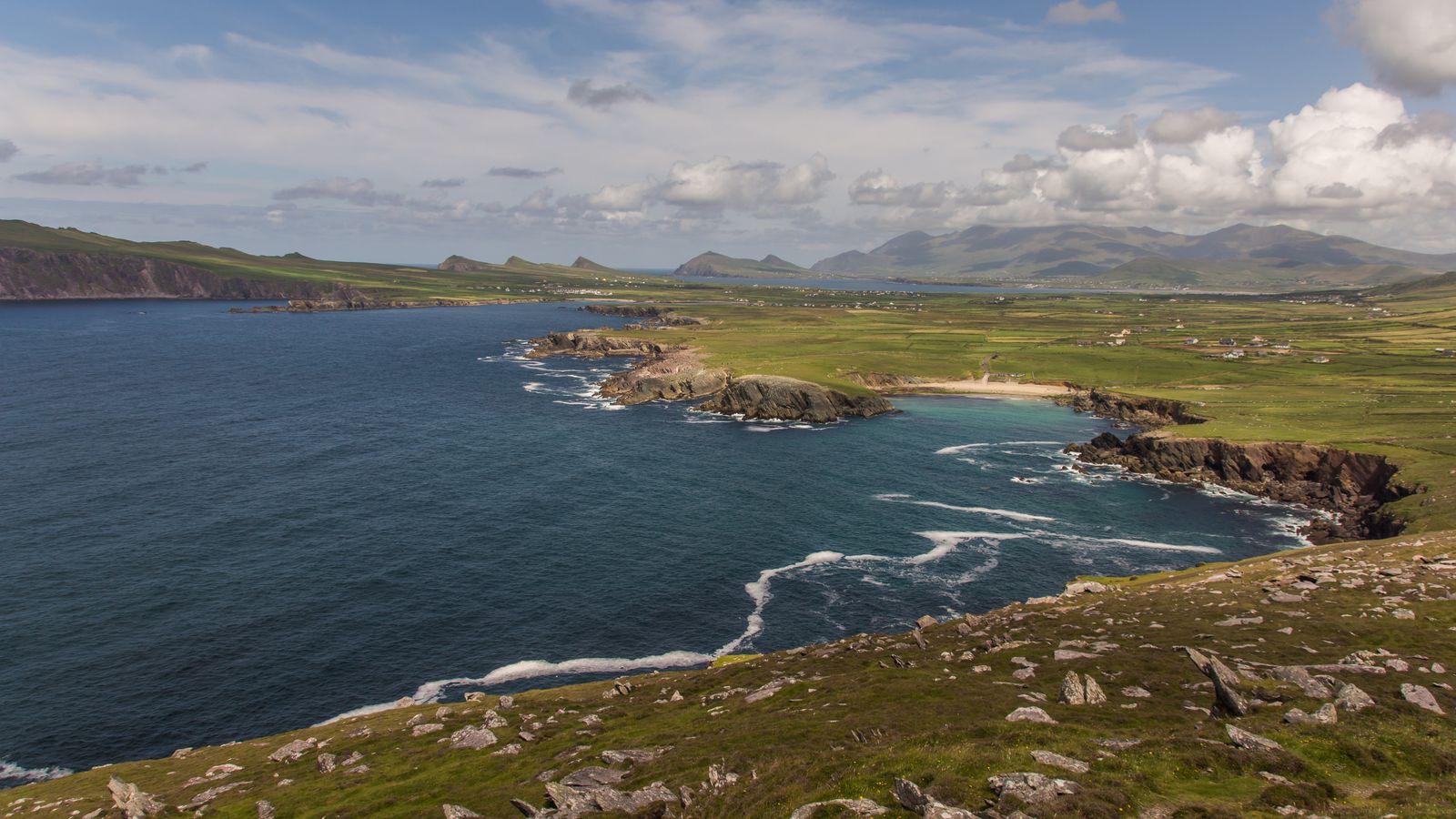
The Slea Head Drive is a signed loop from Dingle town around the western tip and back. It passes Ventry, Dunbeg, Slea Head itself and Dunquin, then turns north to Ballyferriter and back east. The full circuit is short in distance but slow in practice.
The road is narrow, with passing places and blind bends, and tour coaches use it in season. Driving clockwise from Dingle town puts the sea on the left and the cliffs close to the road. Allow more time than the distance suggests.
Along the way are early Christian and medieval remains, including beehive huts and inscribed stones, and several viewpoints over the Blasket Islands. Some sites are on private land and access depends on the landowner. Check locally before crossing any gate.
Road conditions and coach traffic on the Slea Head Drive vary by season. Check with Fáilte Ireland or the local tourist office before setting out.
The Blasket Islands
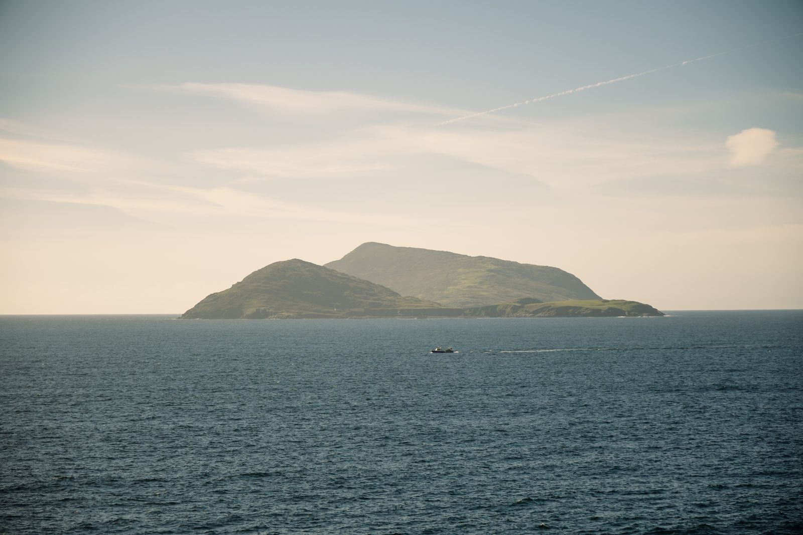
The Blasket Islands lie off the western tip, a group of steep, grassy islands separated from the mainland by a sound. Great Blasket is the largest and was inhabited until the middle of the twentieth century, when the last residents were resettled.
The island is now a place of ruined houses, walking paths and seabird colonies. Access is by boat from the Dunquin area in the summer season, weather permitting, and the crossing is short but exposed. Sailings are not guaranteed.
Puffins and other seabirds nest on the islands and cliffs roughly from late spring to midsummer. Dates shift with the weather, so check with BirdWatch Ireland for the current picture before planning a landing.
Landings on the Blasket Islands depend on the weather and the season. Check with the Office of Public Works before travelling.
Mount Brandon and walking
Mount Brandon rises above Brandon Bay on the north side, and the pilgrim path to the summit is one of the best known walks in Kerry. The route follows a long ridge with views over the whole peninsula and across to the Blaskets on a clear day.
The climb is sustained and exposed, and the upper section is rough underfoot. Cloud can close in quickly, and navigation skills are needed if the path is lost. The mountain is not a casual stroll, and the weather on the summit is often different from the town.
Other walking includes low-level routes along the coast and the Dingle Way, a long-distance trail that circles the peninsula from Tralee. The way is waymarked but crosses farmland, so keep to the marked line and close gates.
Mountain weather changes fast. Check the forecast from Met Éireann and carry a map and compass on any climb.
Irish in the west
The parishes west of Dingle town, including Dunquin, Ballyferriter and much of the north shore, are Gaeltacht: areas where Irish is the community language. Road signs there are in Irish only, and place names on maps may differ from the English forms.
Irish is taught in the local schools and spoken in homes and pubs, and summer colleges bring students to the area. Visitors are not expected to speak Irish, but a greeting in Irish is welcome and place names are worth learning in their Irish form.
The Blasket heritage centre at Dunquin tells the story of the island writers, whose books in Irish were translated and read widely. It is a good introduction to the language and the islands before a boat trip or a drive round Slea Head.
Where to base yourself
Dingle town is the obvious base. It has the widest choice of places to stay, shops, pubs and restaurants, and it sits at the start of the Slea Head Drive and the road over to the north shore. It is busy in summer and quieter out of season.
West of town, Ballyferriter and the villages towards Dunquin are smaller and closer to the Irish-speaking heart of the peninsula. They suit a quieter stay and put the Blasket views and Slea Head within a short drive.
On the north side, around Brandon Bay and Cloghane, the pace is slower again, with long beaches and the mountain close by. Tralee, east of the peninsula, is a larger town with rail and bus links and works as a base for the whole of north Kerry.
Accommodation fills quickly in summer. Book ahead through the search on this page, which is set to the Dingle area.
Getting there and around
The nearest railway station is at Tralee, on the Iarnród Éireann network, with connections to Killarney and beyond. From Tralee, buses run west to Dingle town, and a car is needed for much of the peninsula beyond the town.
The nearest airport is Kerry, near Farranfore, with onward road and rail links. Shannon and Cork airports are further away but have more flights. Timetables change, so check with the operator before booking.
Traffic drives on the left. The roads west of Dingle are narrow, and the Slea Head Drive and the Connor Pass need care, especially in poor visibility. The Connor Pass is steep and not suitable for large vehicles, and it can close in winter weather.