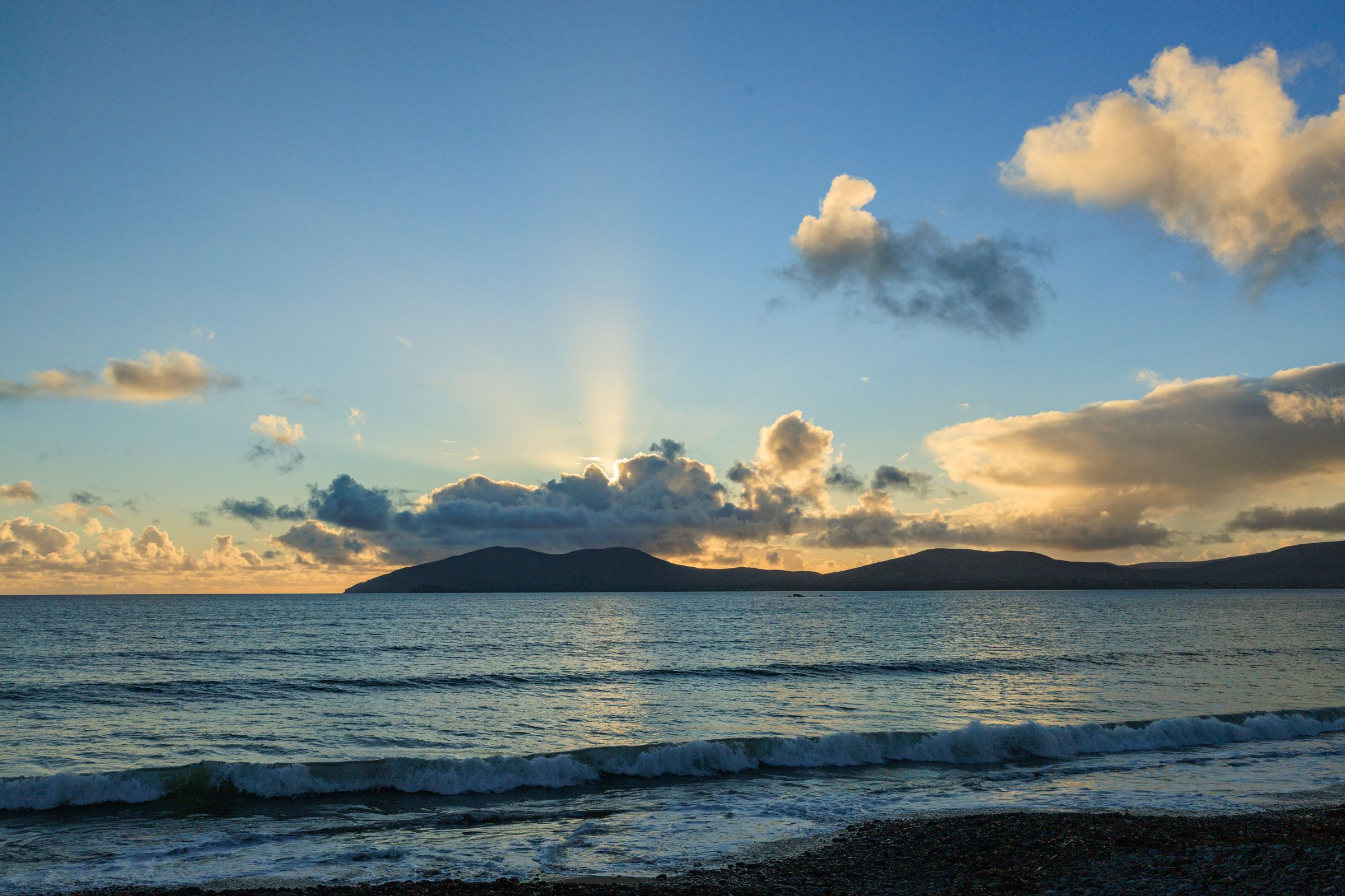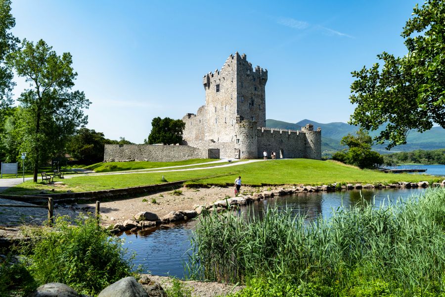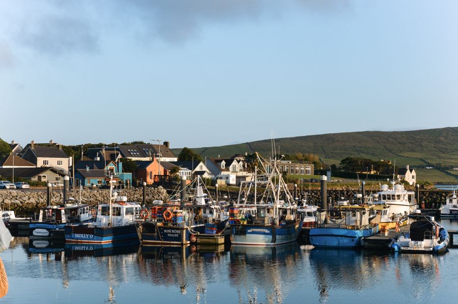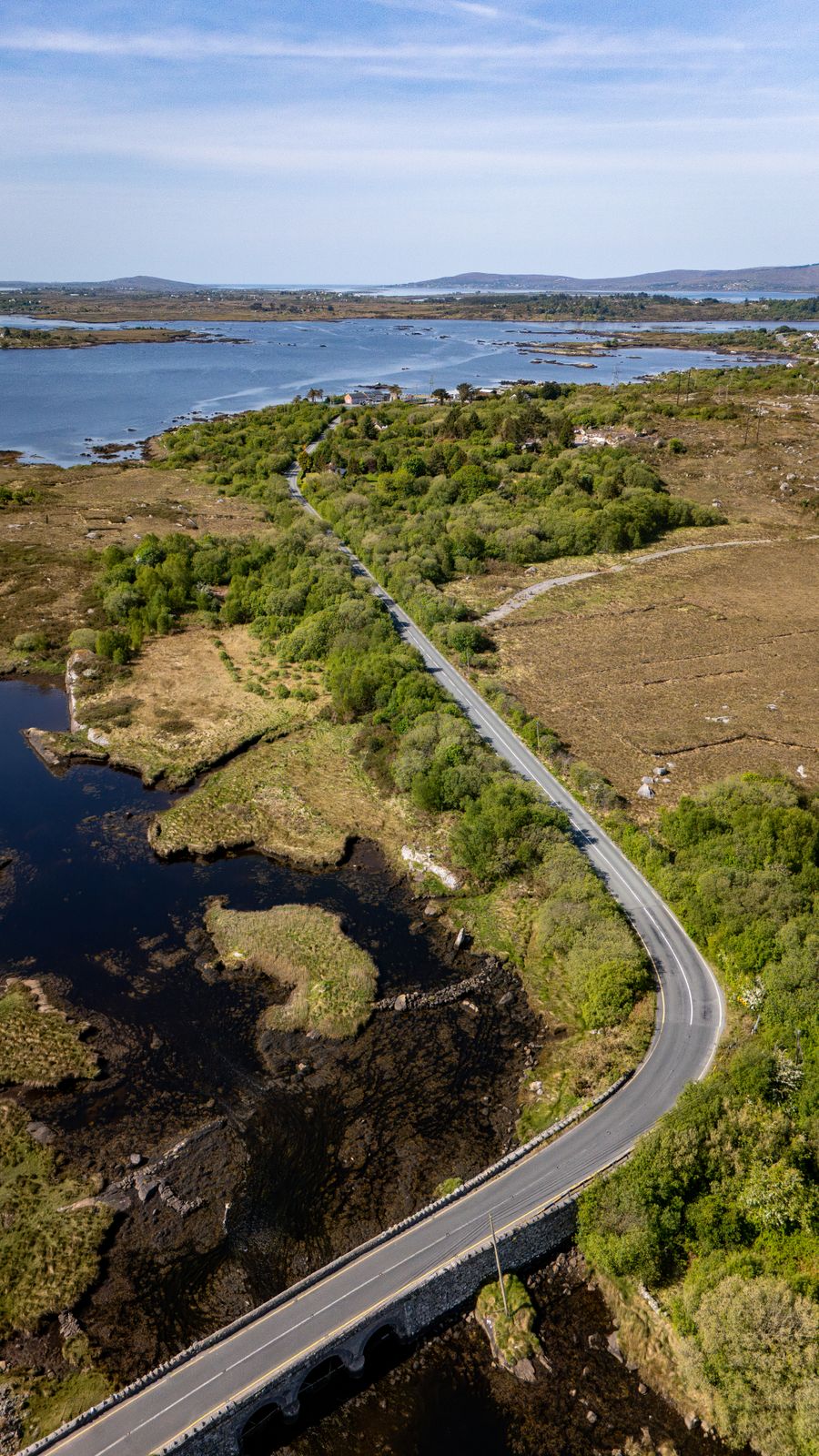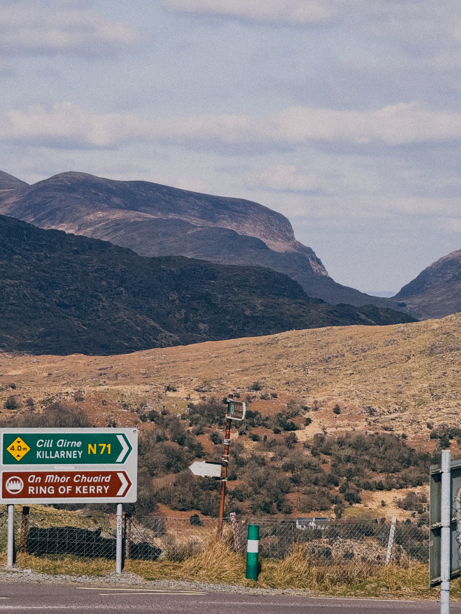
The Ring of Kerry is a signed road route that circles the Iveragh Peninsula in County Kerry, leaving Killarney and returning to it. It passes through Kenmare, Sneem, Cahersiveen, Waterville and Killorglin, with mountain and coastal views for much of the way.
What the route is
The Ring of Kerry is not a single road but a signed touring circuit, marked with brown and white route signs, that follows public roads around the Iveragh Peninsula. It leaves Killarney, runs south through Kenmare, follows the coast east and north through Sneem and Cahersiveen, passes Waterville and Caherdaniel, and returns to Killarney by way of Killorglin.
The full loop is usually driven as a day, though the distance and the number of stops make it a long one. Many visitors spread it over two days, or drive part of it and walk or cycle another part. The route is a way of joining places rather than a destination in itself, and the towns along it are worth time of their own.
Signs mark the way in both directions. The route passes through Gaeltacht areas on the peninsula, where road signs are in Irish only, so a map or a satnav set to the next town helps. The roads are ordinary public roads, used by local traffic, farm vehicles and buses as well as visitors.
Driving the loop
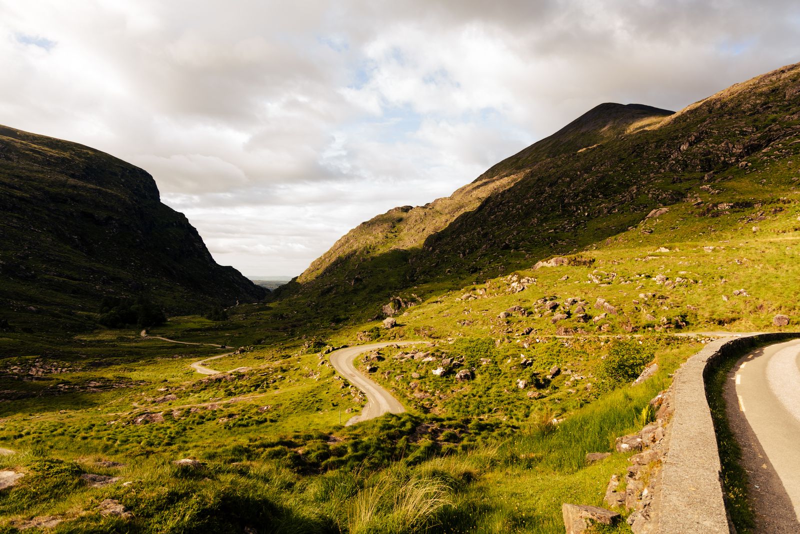
Traffic drives on the left in the Republic of Ireland, and distances and speed limits are in kilometres and km/h. The route mixes wide national roads with narrow, winding stretches along the coast and over the hills. Passing places and bends need care, and a driver should expect to meet coaches coming the other way.
Coach tours traditionally travel the loop in one direction, anticlockwise from Killarney, so driving clockwise puts you against the flow and often ahead of the crowds. Starting early in the morning also helps, particularly in summer, when the road and the main viewpoints are busiest.
Fuel and services are spread out. Killarney, Kenmare and Killorglin have the widest choice, and smaller villages have less. Mobile signal is patchy in the hills. The route is exposed to Atlantic weather, and fog or heavy rain can close in on the higher stretches without much warning.
Check road conditions and any local closures with Kerry County Council before setting out, and allow more time than the map suggests.
Killarney to Kenmare
The southern half of the loop begins in Killarney, a town with rail and coach connections and a good supply of places to stay. From there the route runs south, with the mountains of Killarney National Park on one side. The park is run by the National Parks and Wildlife Service, and its lakes, woods and passes are a reason to stop before the coast.
The road crosses the hills towards Kenmare, a planned town at the head of Kenmare Bay with a wide main street and a long history as a market centre. Kenmare makes a useful base for the southern end of the peninsula, with restaurants and shops in the town and access to the Beara Peninsula to the west.
Beyond Kenmare the route turns east along the coast towards Sneem, passing small villages and viewpoints over the bay. The road here is gentler than the western stretches, with room to stop. Sneem itself sits where the river meets the sea, with walks along the shore and a quiet centre.
Sneem to Waterville
West of Sneem the route follows the coast towards Cahersiveen, with the sea on one side and the MacGillycuddy's Reeks and the interior hills on the other. Cahersiveen is a market town on the River Fertha, with a heritage centre in the old barracks and views across to Valentia Island. The island is reached by a bridge at Portmagee, a short detour from the main route.
Waterville sits on a narrow strip between Lough Currane and Ballinskelligs Bay, with a promenade and a long beach. It is a common stopping point for walkers on the Kerry Way, the long-distance trail that crosses the peninsula. The village has a small choice of places to stay and eat, and a golf links nearby.
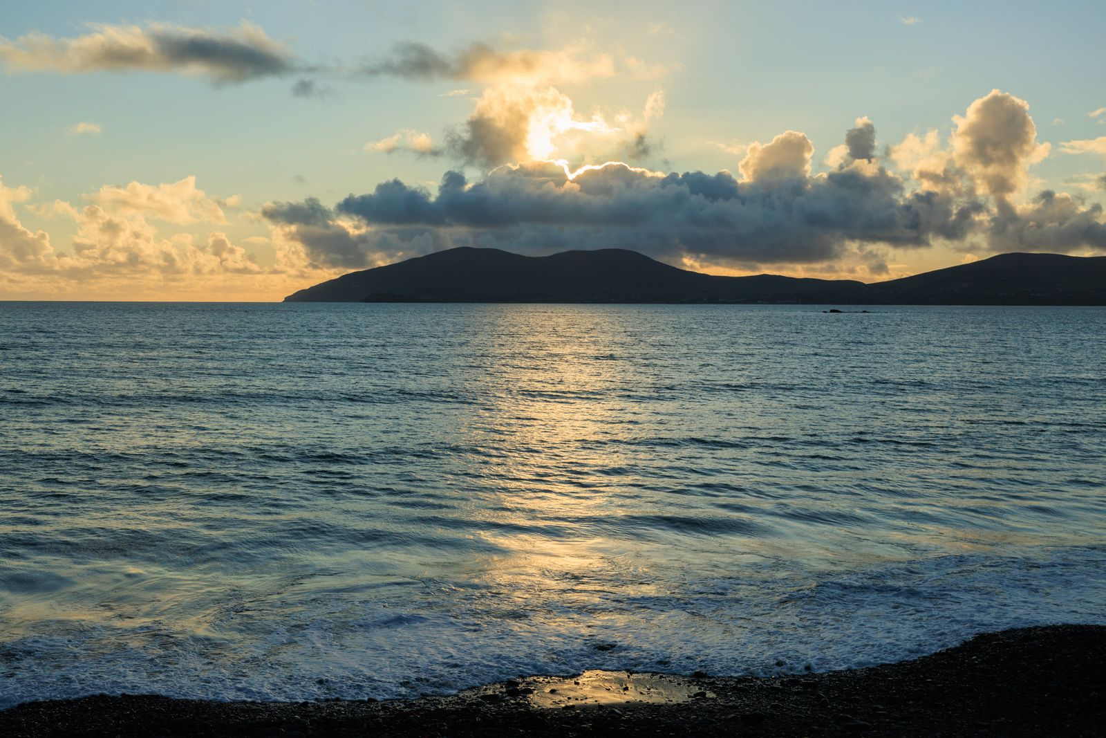
This stretch is where the Skelligs come into view on clear days. Skellig Michael, a UNESCO World Heritage Site, lies offshore, and boats sail from Portmagee and Ballinskelligs in the summer season, weather permitting, with a limited number of licensed boats. Landings are managed by the Office of Public Works, which is the body to check for the season and access.
Landings on Skellig Michael run only in summer and depend on the weather. Check with the Office of Public Works before planning a boat trip.
Waterville to Killorglin
From Waterville the route turns inland and north, climbing through Caherdaniel and the hills above Derrynane. Derrynane House and its grounds, run by the Office of Public Works, sit near the coast here, with a beach and a sheltered bay. The road then runs east along the Kenmare River towards the head of the peninsula.
The northern leg passes through the villages of the Iveragh interior, with views back over the mountains. Killorglin is the largest town on this side, set on the River Laune, and known for the Puck Fair held each August. It makes a practical base for the northern end of the loop and for trips towards Dingle and the coast.
From Killorglin the route follows the Laune back towards Killarney, past the lakes and the edge of the national park. The final stretch is short and easy, and brings the loop back to where it started. Killarney has the widest range of accommodation and transport on the route, which makes it the simplest base for a first visit.
Choosing a base
Killarney is the natural base for the Ring of Kerry. It sits at the start and end of the loop, has rail and coach connections, and gives access to Killarney National Park on foot or by bike. The town has the widest choice of places to stay and eat along the route, and it works well for a first visit or for anyone without a car.
Kenmare suits the southern half of the peninsula, with a shorter drive to the coast and to the Beara Peninsula. Killorglin and Cahersiveen serve the northern and western stretches, and Waterville is a good stop for walkers and for anyone wanting to be close to the Skelligs. Each has a smaller choice of accommodation than Killarney.
For a short trip, basing in Killarney and driving the loop over one or two days covers the route without moving luggage. For a slower visit, splitting the stay between Killarney and a town on the peninsula reduces driving and allows time for walks, boat trips and the beaches. Book ahead in summer, when the route is at its busiest.
Walking and weather
The Kerry Way is a long-distance walking route that crosses the Iveragh Peninsula and links many of the towns on the Ring of Kerry. Sections can be walked as day routes, with Killarney, Kenmare, Sneem, Cahersiveen and Waterville all on or near the trail. The walking is varied, from coast paths to mountain passes, and the weather changes quickly.
The climate is temperate oceanic, with mild winters and cool summers. Rain is possible in every month, and the west and the hills are wetter than the east. Walkers should carry waterproofs and a map, and should not rely on mobile signal in the hills. Daylight runs from about 17 hours around the June solstice to about 7.5 hours in late December.
Puffins and other seabirds nest on the Atlantic islands and cliffs roughly from late spring to midsummer. BirdWatch Ireland is the body to check for the Republic. The cliffs and islands along the route are best viewed from a safe distance, and the weather decides whether boats sail at all.
Check the forecast with Met Éireann before a walk or a boat trip, and carry waterproofs whatever the morning looks like.