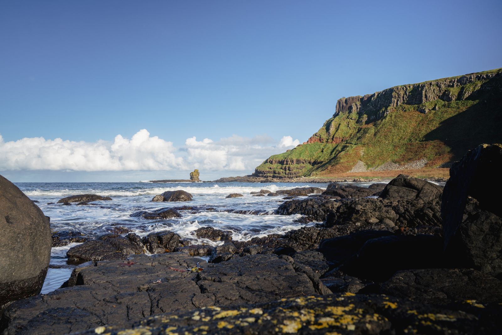
Carrick-a-Rede is a small island off the north Antrim coast, reached by a rope bridge over a narrow channel. The crossing is short, the drop below is real, and access is by timed ticket. The setting, with Rathlin Island and the Scottish coast in view, is the reason most people come.
The bridge itself
The bridge spans a gap of roughly twenty metres between the mainland cliff and the island, with the sea running through the channel below. It is a rope bridge in construction, with planks underfoot and hand ropes at each side, replaced and maintained by the National Trust, which cares for the site.
The crossing takes a minute or two at an ordinary pace. It sways a little underfoot and more when several people are on it at once. The bridge is one way at busy times, with a steward controlling numbers at each end.
Crossing is not compulsory to enjoy the site. The cliff path to the bridge gives the same coastal views, and the island can be seen clearly from the mainland side without stepping onto the planks.
Crossing is at your own risk and the bridge closes in high wind. Check conditions with the National Trust before travelling.
The island and its history
Carrick-a-Rede means the rock in the road, a reference to the sea route that the island sits across. Salmon fishermen worked from the island for generations, setting nets from the rocks to catch fish moving along the coast. A bridge of some kind has linked the island to the mainland since the eighteenth century, though the present structure is a modern replacement.
The fishermen's cottage on the island remains, and the old paths and net stores give a sense of how small and exposed the working site was. The salmon fishery has ended, and the island is now visited for its setting rather than its catch.
The island is small and the paths on it are uneven. Seabirds nest on the cliffs around it in spring and early summer, and the grass on top is short and wind clipped. There is no shelter on the island itself.
Tickets and timing
Entry to the site and the bridge crossing is ticketed, with timed slots through the day. Numbers on the bridge are limited, so a slot is not simply a queue ticket: it is the time you are expected to arrive. Booking ahead through the National Trust is advised, particularly at weekends and in summer.
Opening varies through the year, and the site can close at short notice for wind, ice or maintenance. The bridge in particular is weather dependent. Check the National Trust page for opening times and any closures on the day you plan to visit.
Allow more time than the crossing itself takes. The walk from the car park to the bridge is a fair distance along a path with steps and uneven ground, and the return leg is uphill. A visit of an hour and a half to two hours is realistic.
Book a slot through the National Trust and check the site status on the morning of your visit.
The walk to the bridge
The path from the car park runs along the cliff top, with views east towards the cliffs beyond Ballycastle and north to Rathlin Island. It is not a long walk in distance but it is uneven, with steps down towards the bridge and a climb back up on the return.
Sturdy shoes are sensible. The path can be muddy after rain, and the exposed sections are windy even on a calm day inland. There is a steep set of steps close to the bridge that catches people out on the way back.
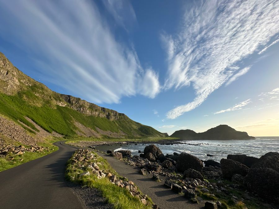
The cliff scenery along the path is part of the visit, and the route links into the wider coast path network. The Causeway Coastal Route passes nearby by road, and the wider cliff path continues towards the Giant's Causeway and Dunluce Castle.
Nearby along the coast
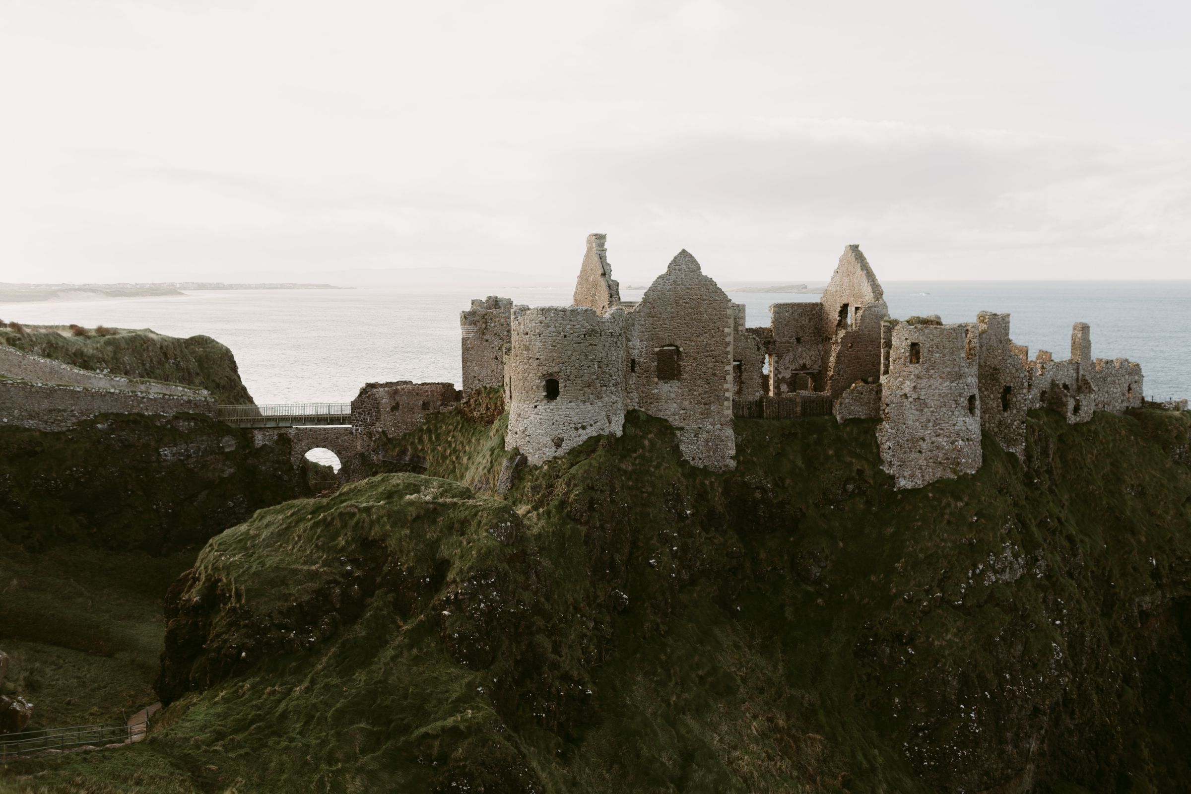
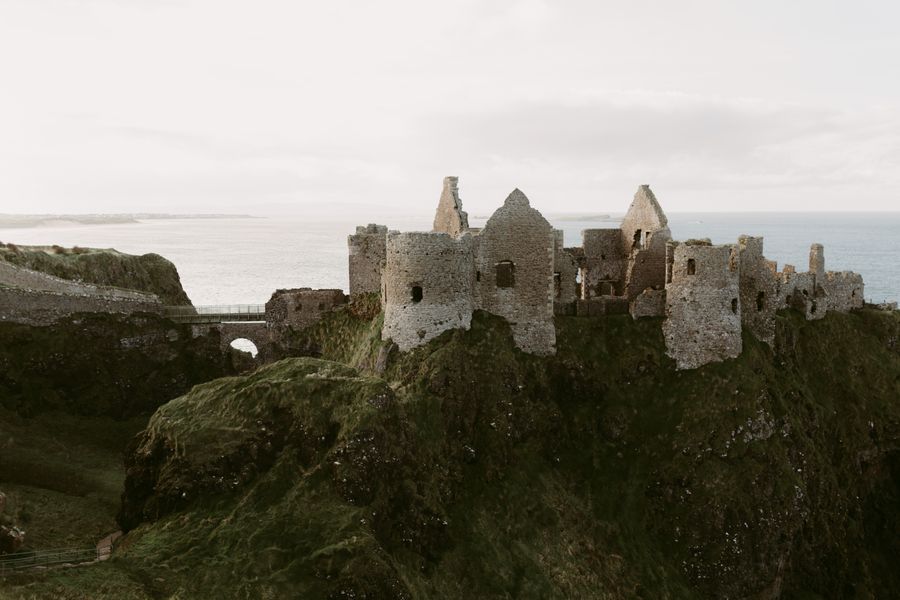
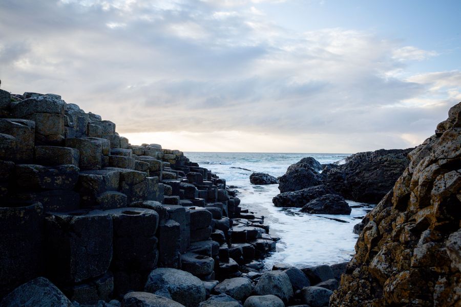
The Giant's Causeway lies a short drive east, with its own visitor arrangements through the National Trust. Dunluce Castle stands on a headland further along the coast towards Portrush, cared for by the Department for Communities. Both fit into the same day as Carrick-a-Rede if you start early.
Ballintoy harbour, a small working harbour below the village, is close by and worth a stop. The dark hedges near Armoy are inland, a short detour. Whitepark Bay and its beach lie between here and the Giant's Causeway.
Ballycastle is the nearest town, with shops and places to eat, and the ferry to Rathlin Island leaves from its harbour. The crossing to Rathlin is short, and the island has its own seabird colonies and walking. Check sailing times with the operator.
Where to base yourself
Ballycastle is the closest base, a small town with a harbour and a strand, and the shortest drive to the bridge. Bushmills, further east, sits close to the Giant's Causeway and Dunluce Castle and works well for a coast-focused stay. Portrush and Portstewart, further west along the strand, have more in the way of town facilities.
For a wider choice, Coleraine is a larger town inland with rail connections, and Ballymena sits further south with good road links. Belfast is reachable in a day but is too far for a relaxed morning at the bridge.
Wherever you base, a car makes the coast straightforward. Buses run along the coast road between Ballycastle and Portrush, but services are not frequent. Check Translink for current times, and note that this is Northern Ireland, so distances are in miles and currency is pounds sterling.
Check Translink for coast road bus times, and remember this part of Ireland uses miles and pounds.
Practical points
This is Northern Ireland, part of the United Kingdom. Prices, where charged, are in pounds sterling, and road signs give distances in miles. There are no routine checks crossing from the Republic, and the border is a short drive south.
The coast here is exposed. Rain is possible in any month, and wind is common. A waterproof layer and a warm mid layer are worth carrying even on a bright morning. The bridge can close for wind at short notice.
The nearest railway stations are at Coleraine and Ballymoney, with bus connections onward. Driving is the simplest way to link the bridge with the Giant's Causeway and Dunluce Castle in one day. Emergency number is 112 or 999.