The Causeway Coastal Route is a signed touring road that follows the coast of County Antrim between Belfast and Derry~Londonderry. It runs through the Glens, past cliffs and beaches, and takes in the Giant's Causeway. Northern Ireland is part of the United Kingdom, so distances are in miles and money is in pounds sterling.
What the route is
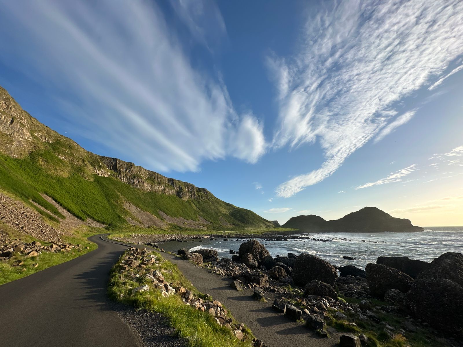
The Causeway Coastal Route is a waymarked driving route rather than a single road. Signs point the way along the coast from Belfast to Derry~Londonderry, and the whole run can be driven in a day, though most visitors spread it over two or three. The road stays close to the sea for much of its length, turning inland around the Glens.
It is one of two long coastal touring routes on the island. The other is the Wild Atlantic Way, which follows the west coast of the Republic from Donegal to Cork. The two meet in the north west, near the border, so a longer trip can join them.
Because the route is signed rather than fixed, you can drive it in either direction. Starting in Belfast means the coast is on your left heading north, which suits the many laybys and viewpoints. Starting in Derry~Londonderry reverses that. Neither is better; it depends on where you arrive.
Belfast to Larne
Leaving Belfast, the route runs north along the shore of Belfast Lough through Carrickfergus, where a Norman castle stands above the water. The castle is a state monument cared for by the Department for Communities, and a charge applies to go inside. The town below has a long waterfront and a harbour.
Beyond Carrickfergus the road follows the lough to Whitehead and then turns east towards Islandmagee, a low peninsula with views across to the Scottish coast on a clear day. The cliffs at the Gobbins are here. Access is by guided walk only, and the path closes in poor weather.
Larne is the main ferry port for crossings to Scotland. The town itself is a working port rather than a resort, but it makes a practical stop before the coast turns wilder. From Larne the road heads north along the shore towards the Glens.
The Gobbins path is ticketed and runs guided walks only. Check opening and weather closures with Mid and East Antrim Borough Council before setting out.
The nine Glens of Antrim
North of Larne the route passes the mouths of the Glens of Antrim, nine valleys cut into the plateau above the coast. Each has its own name and character. Glenarm is the first, with a village at its foot and a walled estate park. Glenariff, further on, is often called the Queen of the Glens, and has a forest park with waterfalls and waymarked walks.
Glenballyemon, Glenaan, Glencorp, Glendun, Glenshesk and Glentaisie follow, with Cushendall and Cushendun as the main villages. Cushendun sits at the mouth of the Glendun river, with a sheltered beach and a row of white cottages. Cushendall is larger, with a crossroads and a long curve of bay.
The glens are quiet places of farms, hedges and narrow roads. Driving through them takes time because the lanes are slow. Walkers can follow waymarked routes, and the forest parks have marked trails. The Glens are also where the route turns inland briefly before returning to the sea.
The Causeway Coast
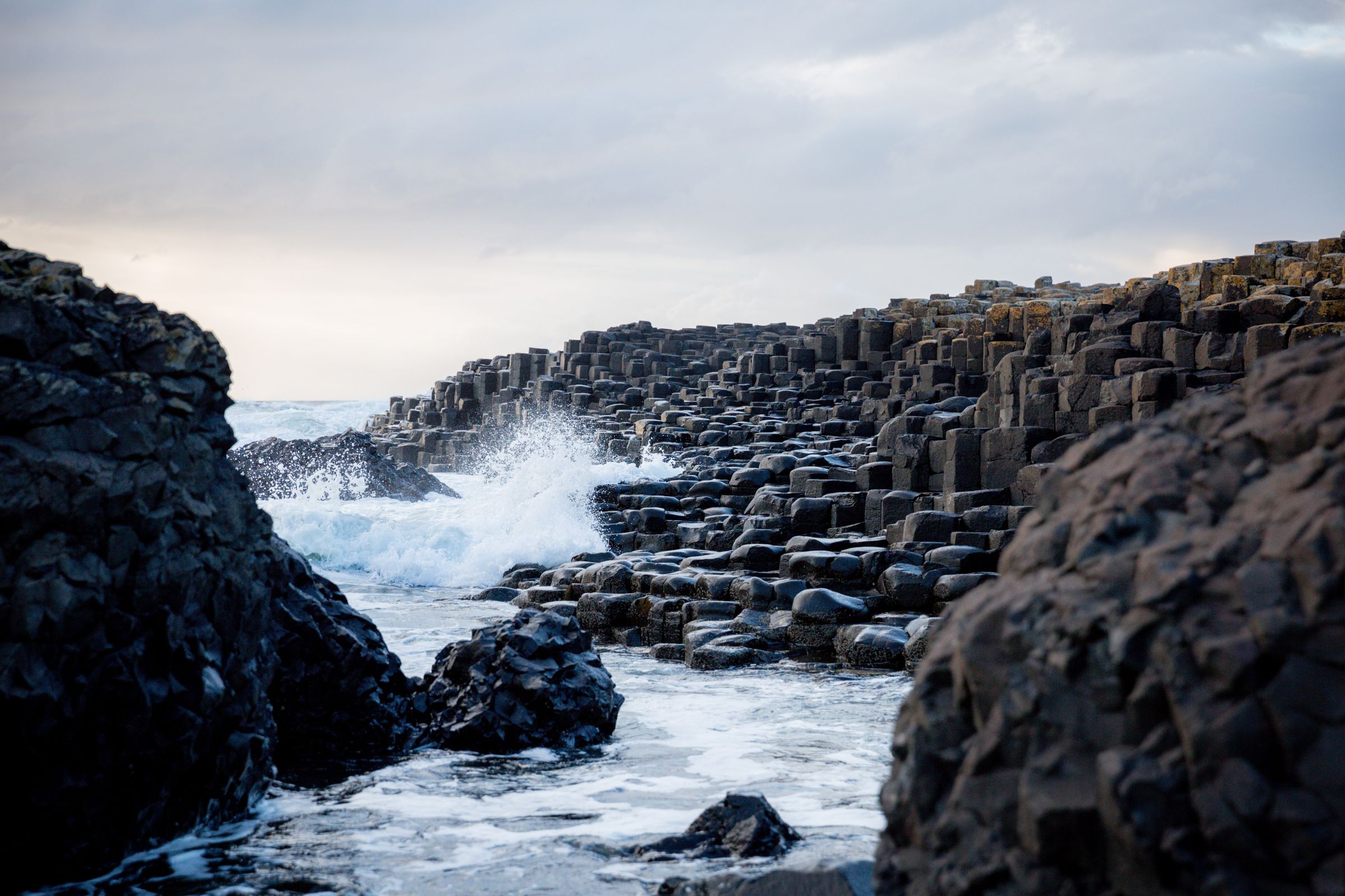
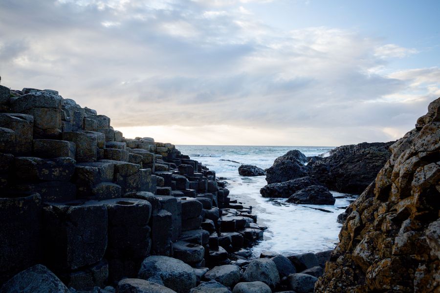
Past Ballycastle the route reaches the stretch known as the Causeway Coast, running east towards Portrush and Portstewart. The Giant's Causeway itself is a UNESCO World Heritage Site, cared for by the National Trust. Access to the stones is free to walk, though the visitor centre is ticketed. The columns of basalt are the result of ancient lava cooling.
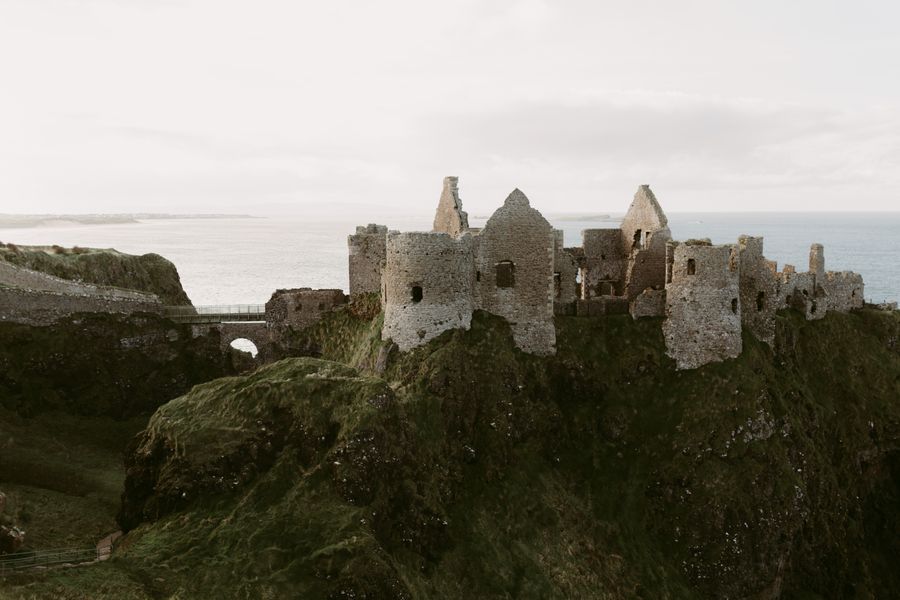
Nearby, Dunluce Castle stands on a headland above the sea, a ruined medieval stronghold with a bridge to the gate. The castle is a state monument, and a charge applies. The road continues past White Park Bay and the sands at Portballintrae, then turns inland to Bushmills, a small town on the river Bush.
Portrush and Portstewart are the main resort towns on this stretch, with long beaches and a promenade. Portrush has two beaches and a headland, and Portstewart has a long strand backed by dunes. Both are busy in summer and quiet out of season.
Access at the Giant's Causeway can change with weather and tides. Check the National Trust before travelling, and note the visitor centre is ticketed.
To Derry and Inishowen
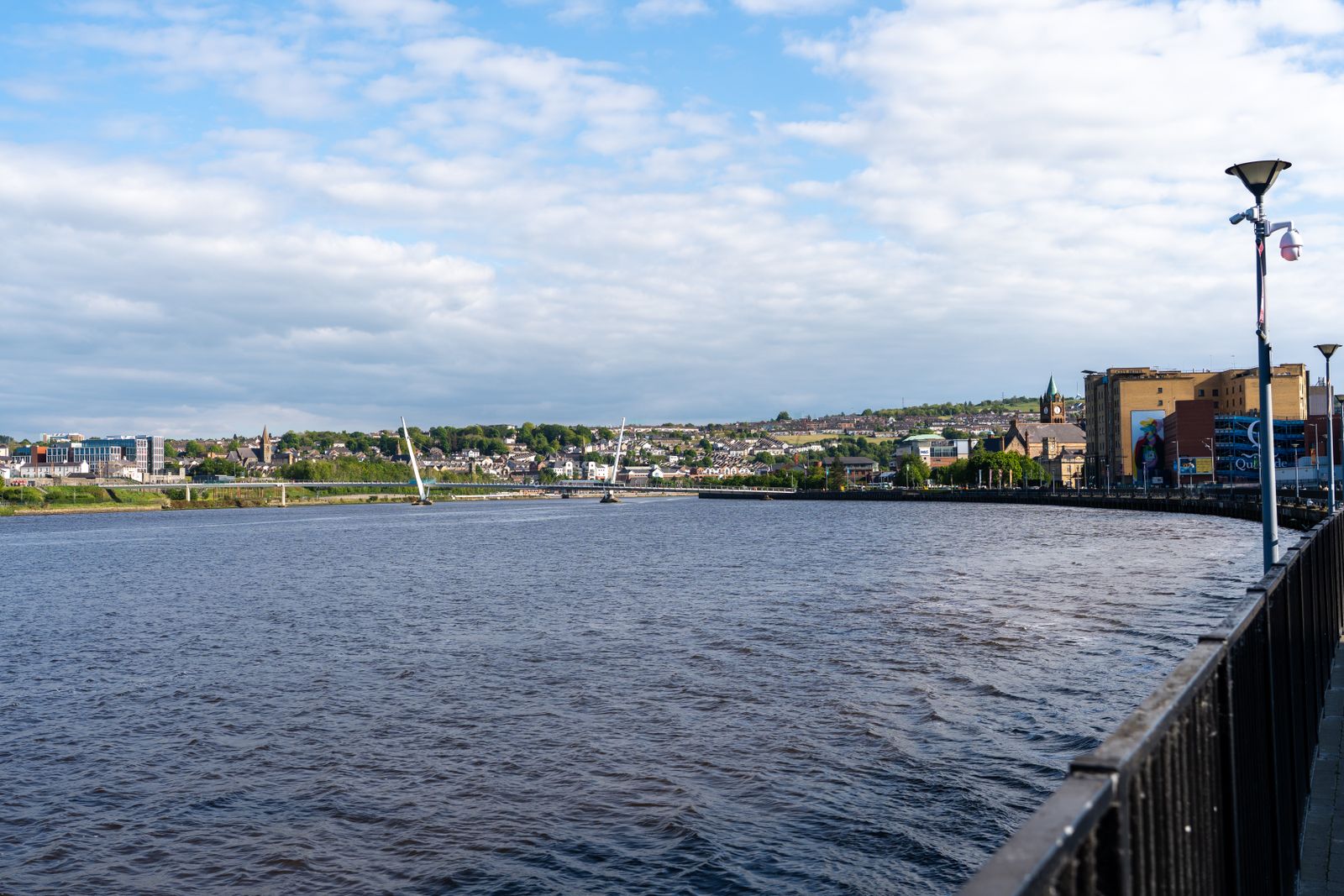
West of Portstewart the route follows the lower Bann and then the coast again towards Castlerock and Downhill, where a ruined bishop's house stands on the cliffs above the strand. The road then runs along the shore of Lough Foyle into Derry~Londonderry, a walled city with a complete circuit of walls that you can walk.
The walls are free to walk and give views over the city and the river. The city has a long history and a compact centre, with two cathedrals and several museums. It is the western end of the Causeway Coastal Route, and a natural place to stop before crossing into County Donegal.
From Derry the road continues into Inishowen, the peninsula in County Donegal that lies across the border. There are no routine checks on the road crossing. Inishowen is part of the Republic, so distances switch to kilometres and money to euro. The Wild Atlantic Way begins here at Malin Head.
Choosing a base
The route is short enough that a single base works for most of it, but two bases let you see both ends without long drives. Bushmills, near the Giant's Causeway, is central for the Causeway Coast and the glens. Portrush and Portstewart have more facilities and beaches, and suit families.
For the eastern end, Ballycastle sits where the glens meet the sea, with a harbour and a strand, and a ferry to Rathlin Island in season. Cushendall and Cushendun are quieter bases in the glens. Larne and Carrickfergus are handy for Belfast and the early part of the route.
Derry~Londonderry makes a good base for the western end and for Inishowen beyond the border. Belfast suits anyone arriving by air or ferry who wants city facilities before setting out. Wherever you stay, check the season: some places close in winter, and the resorts are busiest in July and August.
Rathlin Island ferries run in season and depend on weather. Check with the operator and the RSPB for sailing and landing details before planning a day there.
Practical notes
Traffic drives on the left throughout the island. In Northern Ireland, distances and speed limits are in miles and miles per hour. The route uses ordinary public roads, some of them narrow, and parking at the main sights fills early in summer. A car gives the most freedom, though buses run along parts of the coast.
Translink runs trains and buses in Northern Ireland, including the rail line from Belfast to Derry~Londonderry, which follows a different, inland route. The Enterprise train links Belfast and Dublin. Timetables change, so check with Translink and Iarnród Éireann before travelling.
The weather is changeable in every month, and the coast is exposed. Rain is possible at any time, and wind can close paths and ferries. Daylight runs from about 17 hours around the June solstice to about 7.5 hours in late December, so winter days are short. The emergency number is 112 or 999. Plugs are the three-pin type G.