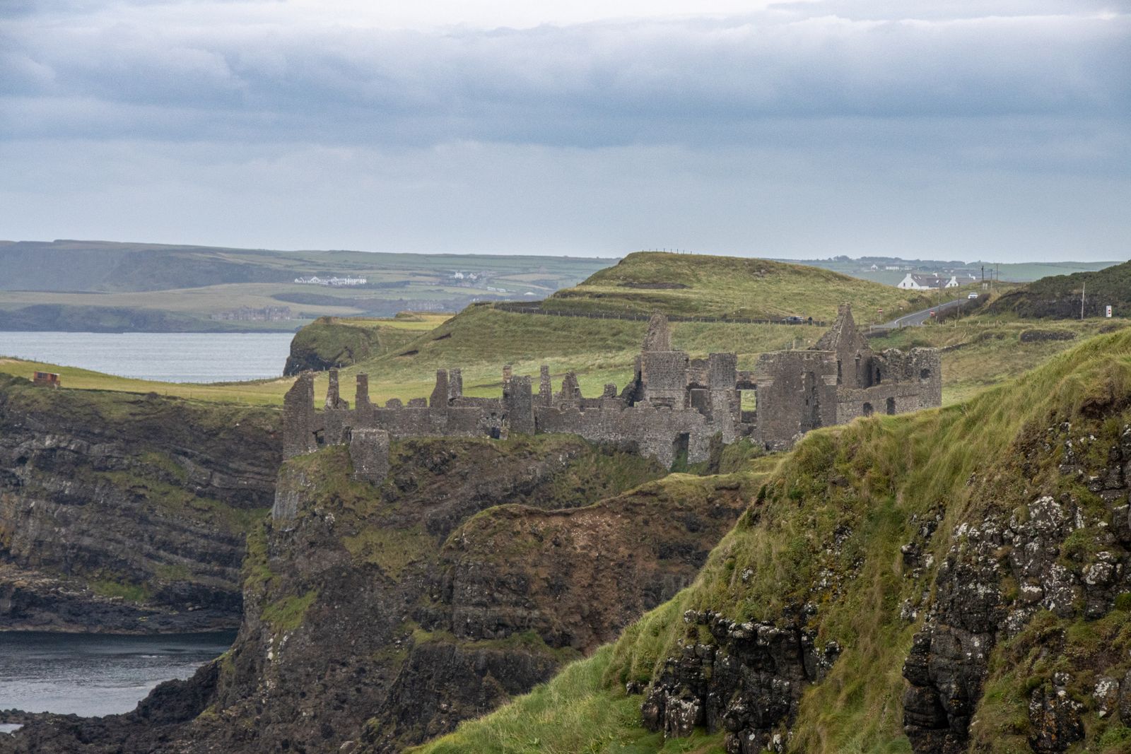
Dunluce Castle stands on a narrow headland of basalt above the sea, between Portrush and Bushmills on the north coast of County Antrim. The ruins are cared for by the Northern Ireland Environment Agency, part of the Department for Communities. The site is in the United Kingdom, so currency is in pounds and distances in miles.
The castle and its rock
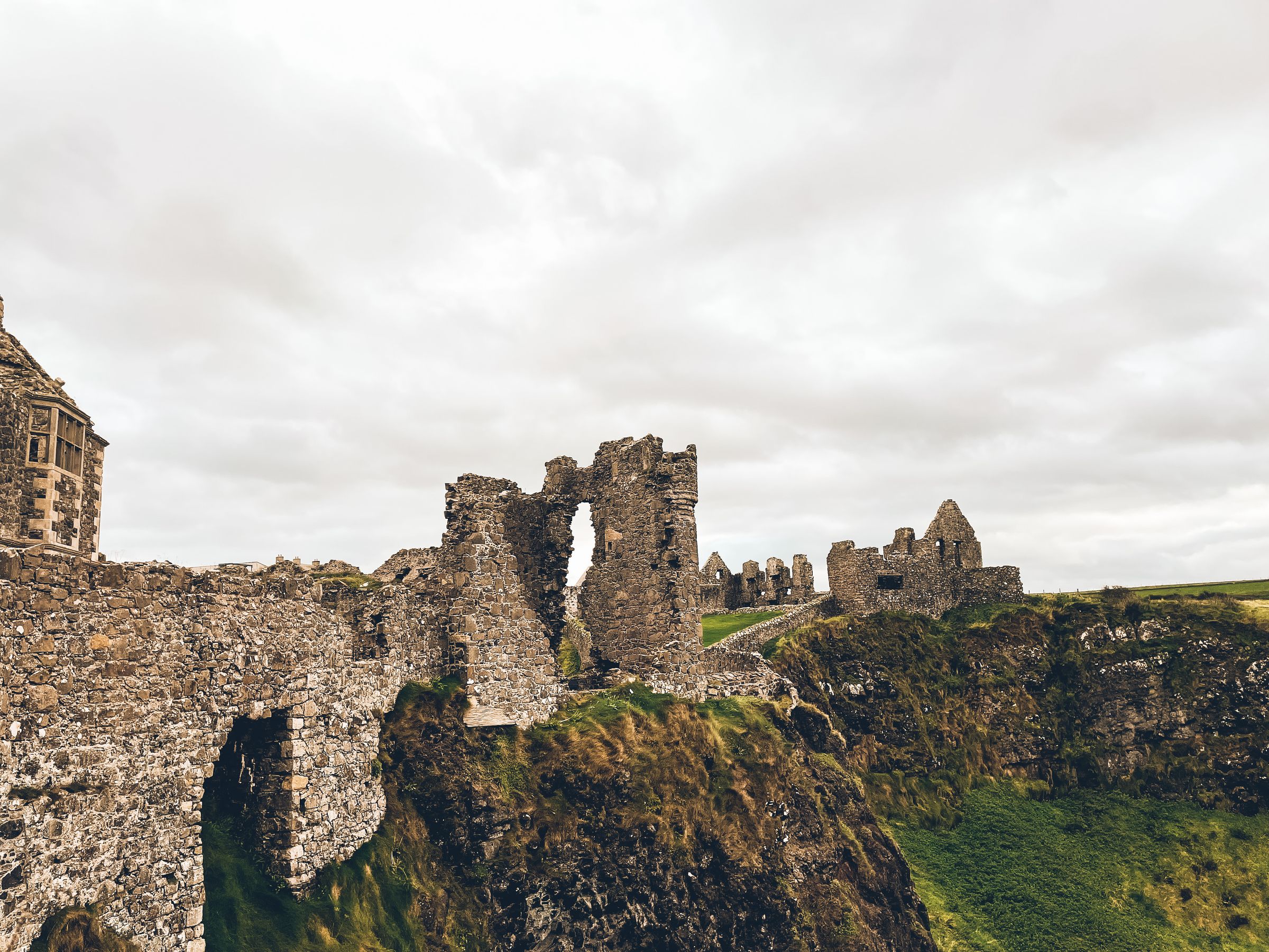
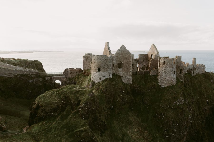
The castle occupies a headland that juts into the Atlantic, cut off from the mainland on three sides. The approach is across a narrow neck of land, and the walls follow the shape of the rock rather than any neat plan. Parts of the masonry stand several storeys high, while other sections have fallen away entirely, leaving outlines on the ground.
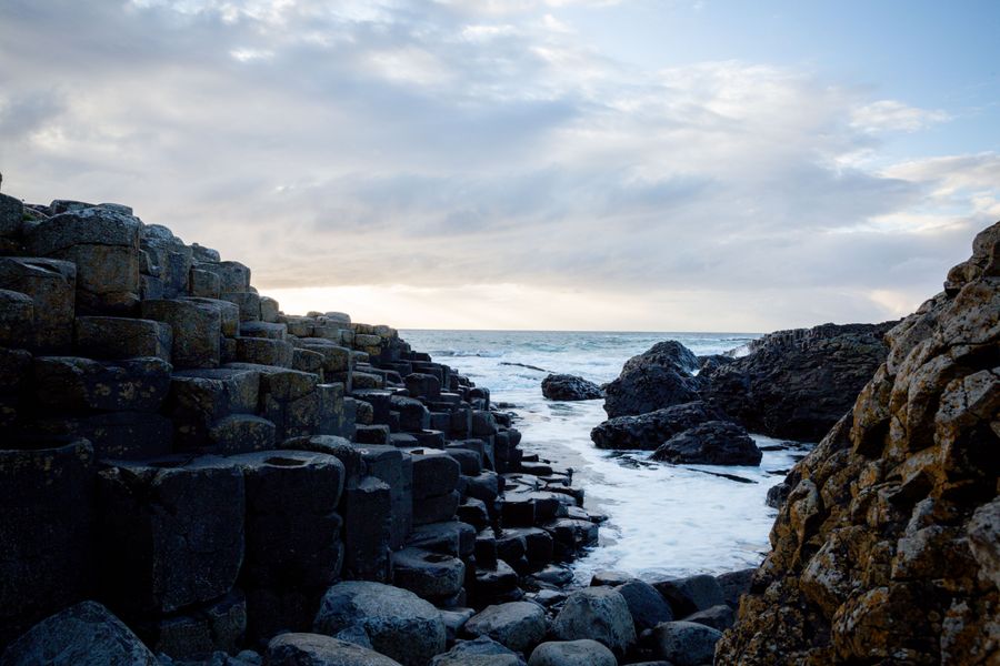
The rock beneath is basalt, the same volcanic rock that forms the columns at the Giant's Causeway a few miles east. The sea has undercut the headland over time, and a cave runs beneath the castle. The gap between the main court and the outer buildings is bridged, and the whole site has the look of a place that was built quickly and repaired often.
Paths run around the accessible parts of the ruins, with low walls and drops close by. Ground underfoot is uneven, with steps and grass sections. The site is exposed to wind and rain off the sea in every season, so a waterproof layer is worth carrying even on a bright morning.
Check opening days and seasonal hours with the Department for Communities before travelling, as the site does not open every day of the year.
A contested history
The castle was built in the medieval period and changed hands repeatedly. It was held by the MacQuillans and later by the MacDonnells, who came from the Scottish islands and made it one of their main seats on this coast. For centuries it controlled a stretch of sea route between Ulster and western Scotland, and the harbour below was used for trade and for landing men and supplies.
The MacDonnells rebuilt and extended the castle in the sixteenth and seventeenth centuries, adding a town around it that has since disappeared. The settlement had houses, a market and a church, but little of it survives above ground. The castle was abandoned after the seventeenth century and gradually fell into ruin, with stone taken for other building work nearby.
The ruin passed into state care in the twentieth century and is now a scheduled monument. Archaeological work has revealed parts of the earlier buildings and the layout of the vanished town. Information panels on site set out the families and events connected with the castle, and the story is told plainly rather than dressed up.
The cave below
A large sea cave runs under the headland, with an opening visible from the shore and from boats passing below. In local tradition the cave was used for shelter and for moving goods and people without being seen from the land. The story is repeated in accounts of the castle, though the details vary.
The cave is not open to visitors on foot, and the entrance is best seen from the sea or from the coastal path. Boat trips along this coast run in season, weather permitting, and pass beneath the castle. Sailings depend on sea conditions, so check with the operator on the day.
From the land, the best views of the castle and its rock are from the coastal road to the east and west, and from the path that runs along the cliff top. The headland shows its full height from these angles, with the sea on three sides and the narrow approach clearly visible.
Getting there
The castle stands beside the A2 coast road between Portrush and Bushmills, signposted from both directions. There is a car park at the site, and the coastal path passes close by. Driving is on the left, as everywhere on the island, and speed limits in Northern Ireland are in miles per hour.
Bus services run along this coast between Portrush, Bushmills and Coleraine, with stops near the castle. Timetables change with the season, so check with Translink for the current service before setting out. The nearest railway stations are at Portrush and Coleraine, with bus connections onward.
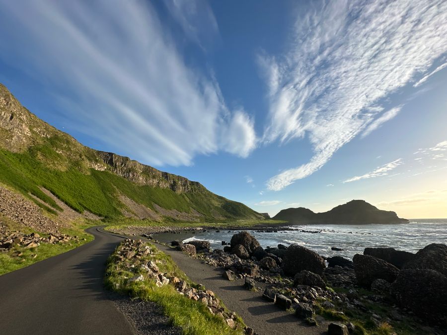
The Giant's Causeway lies a few miles to the east, and the two sites are often visited on the same day. The Causeway Coastal Route, the signed driving route between Belfast and Derry~Londonderry, passes the gate. Allow time for the coast road itself, which is slow and worth taking slowly, with several stopping points along the way.
Bus timetables on the Causeway Coast change with the season. Check Translink for current times before planning a day without a car.
Along the coast
The Giant's Causeway is the best known stop on this stretch, with its basalt columns running into the sea. It is cared for by the National Trust, and a visitor centre explains the geology. The ruined Dunseverick Castle and the rope bridge at Carrick-a-Rede are within a short drive along the same road, and the distillery village of Bushmills sits just inland.
Inland from the coast, the Glens of Antrim run north from Larne towards Ballycastle, with valleys, waterfalls and small villages. The Dark Hedges, a short avenue of beech trees near Armoy, is a popular stopping point and gets busy in summer. The wider region is covered in the Causeway Coast area guide.
Portrush has two beaches and a headland walk, and Portstewart has a long strand backed by dunes. Ballycastle, further east, is the ferry port for Rathlin Island, where seabirds nest on the cliffs in late spring and early summer. BirdWatch Ireland covers the Republic and the RSPB covers Northern Ireland, including Rathlin, for nesting information.
Where to base yourself
Portrush is the nearest town with a range of places to stay, and it works well as a base for the whole coast. Portstewart, a few miles west, is quieter and has a long beach. Bushmills, inland from the Giant's Causeway, is central for the eastern end of the coast and for the village itself.
Coleraine is larger and has rail and bus connections, which suits a trip without a car. Ballycastle at the eastern end is convenient for the glens and for the ferry to Rathlin Island. Each of these towns has places to eat and stay, and the choice depends on whether the priority is the coast, the glens or transport links.
Distances along this coast are short in miles but the road is slow, with bends and stopping points. A base in Portrush or Bushmills puts the castle, the Giant's Causeway and the coast road within easy reach. Book ahead in summer, when the coast is busy, and check the Causeway Coast area guide for more on each town.
Practical points
The castle is a state monument in Northern Ireland, cared for by the Department for Communities through the Northern Ireland Environment Agency. Entry is ticketed, and a charge applies. Opening arrangements vary through the year, and parts of the site may be closed for safety or conservation work, so check before travelling.
The site is in the United Kingdom. Currency is pounds sterling, distances are in miles and speed limits are in miles per hour. There are no routine checks on roads crossing the border from the Republic, but entry rules depend on the passport, and gov.uk sets out the requirements for entering Northern Ireland.
Weather on this coast changes quickly, with rain possible in any month and wind off the sea most days. The castle is exposed, with little shelter among the ruins. Sturdy shoes are useful for the uneven ground. The emergency number is 112 or 999, the same on both sides of the border, and plugs are the three-pin type G.