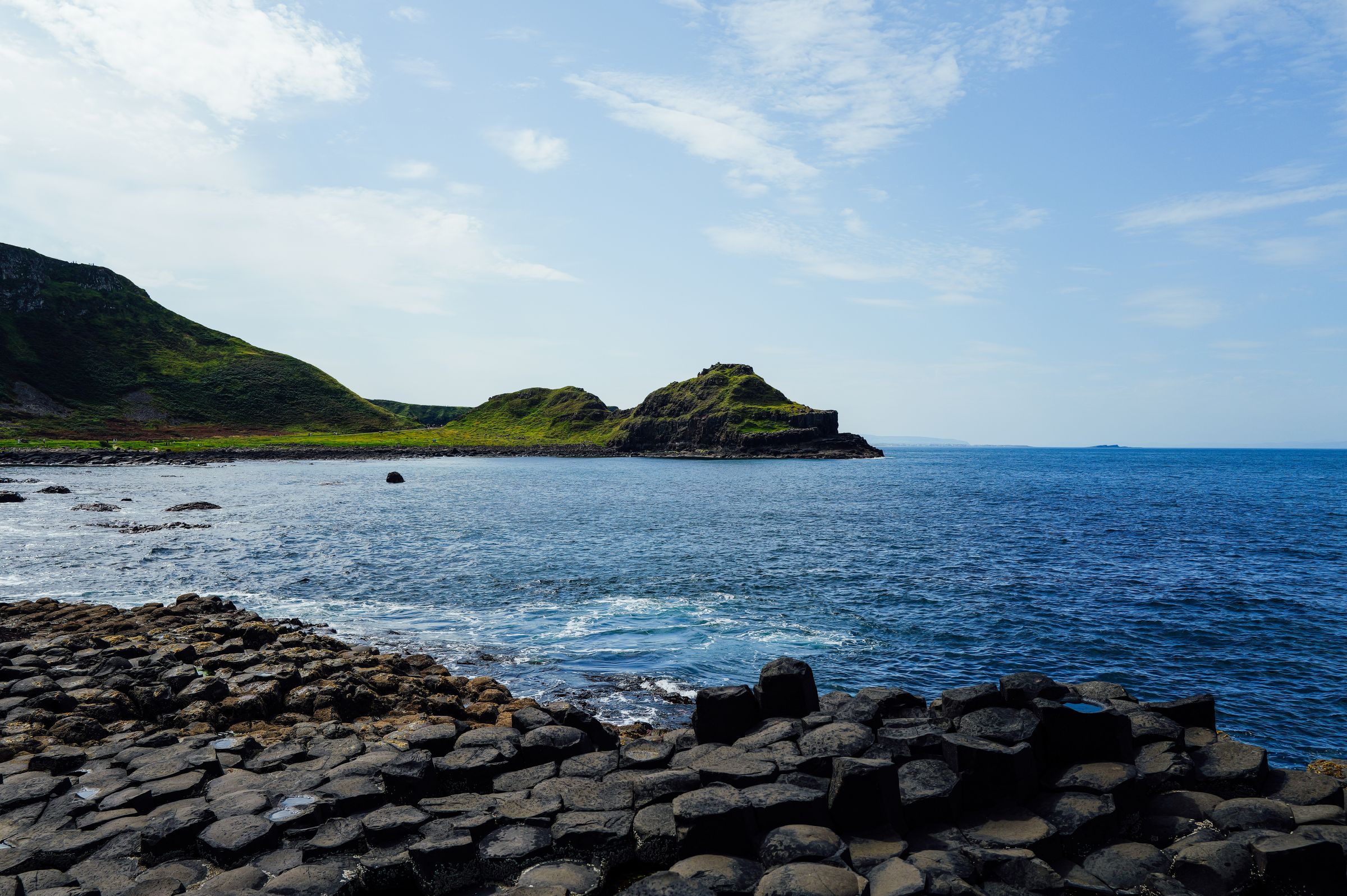
The Giant's Causeway lies on the north coast of County Antrim in Northern Ireland, which is part of the United Kingdom. Thousands of dark basalt columns step down into the sea below a low cliff. The stones are free to walk to; the visitor centre is ticketed.
The stones themselves
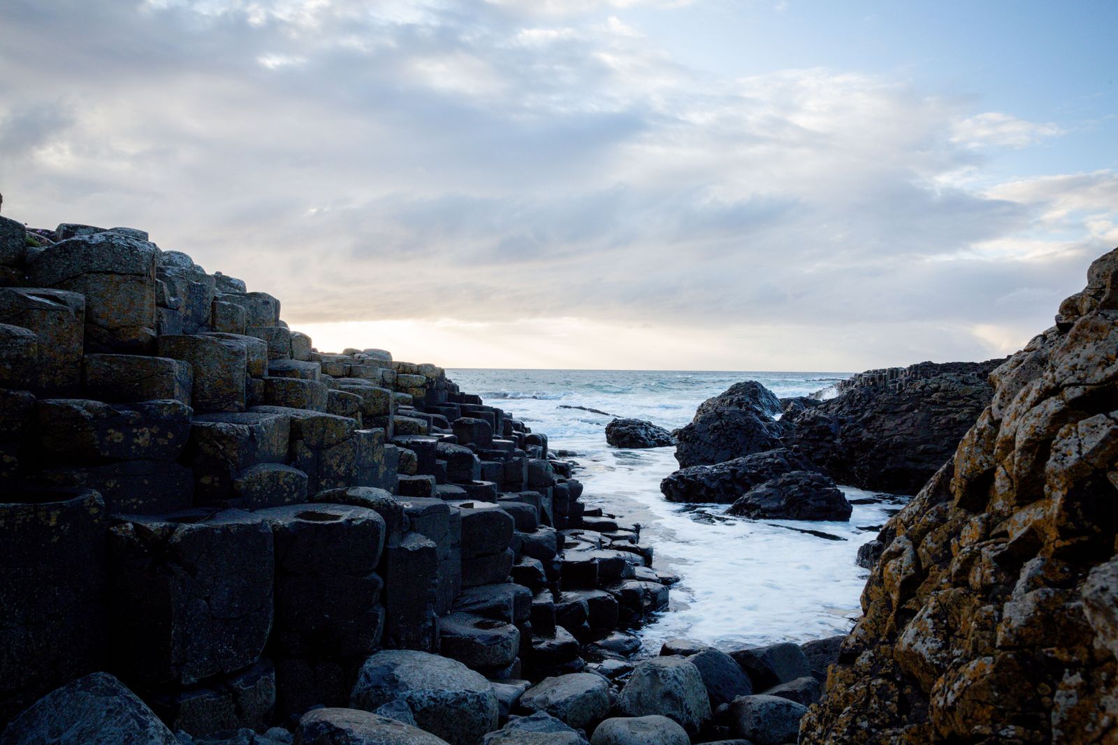
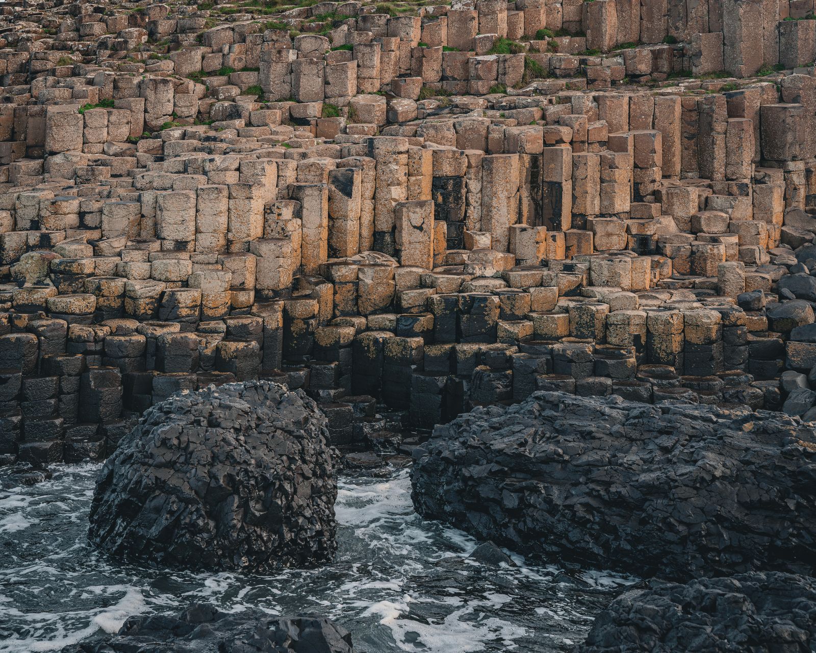
The columns are mostly hexagonal, packed tightly like paving, and they run from the foot of the cliff out into the sea. Some stand tall and separate, others form low platforms you can walk across. The rock is basalt, cooled in a way that cracked it into regular shapes.
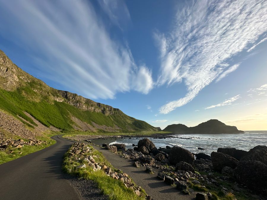
Most visitors reach the stones on foot from the visitor centre, following a road down to the shore. A bus also runs between the centre and the stones for those who need it. The walk back up is steady rather than steep, and there are benches along the way.
The stones are part of a working landscape as well as a monument. Access to the shore can change with weather and tides, and the National Trust, which cares for the site, posts current conditions. Check before setting out in winter, when spray and wind make the lower path slippery.
The visitor centre
The visitor centre sits above the shore and holds an exhibition on the geology, wildlife and history of the coast. It explains how the columns formed and how the site has been visited for centuries. There is also a café and facilities here, useful before or after the walk down.
Entry to the centre is ticketed, and the ticket covers the exhibition and the guided options. Walking down to the stones on the public paths is free. Opening hours change through the year, so check the National Trust's Giant's Causeway pages for your date.
Reserving a slot in advance is sensible in summer and at weekends, when coach parties arrive through the middle of the day. Early mornings and later afternoons are quieter. The centre is the natural starting point for most visits, and staff there can advise on conditions.
Check opening hours and any access notices with the National Trust before travelling, as they change with the season.
The legend
The Irish name Clochán an Aifir is tied to a story about two giants, one in Antrim and one in Scotland, who built a causeway across the sea to fight. The columns were said to be the steps of that road, laid down so the two could meet.
The same story is told on the Scottish side, at Fingal's Cave on Staffa, where similar columns stand. Geology links the two: the same lava flows reached both coasts. The legend is a good way to hold the landscape in mind as you walk.
Guides at the site tell the story alongside the science, and it is worth hearing both. The tale is part of why the place draws visitors from far beyond Ireland, and it appears in schoolbooks and songs on both sides of the water.
Walks along the coast
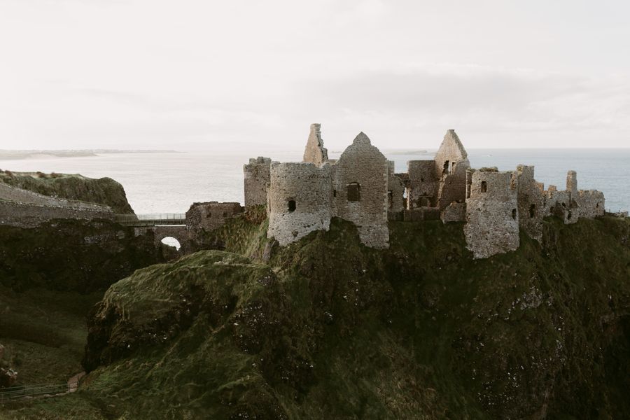
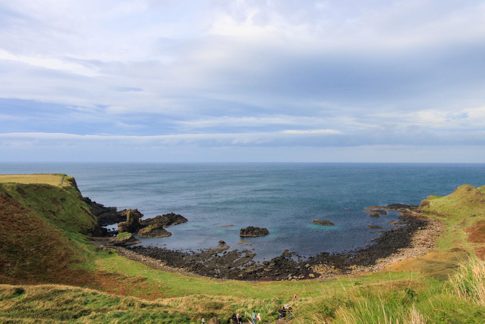
Paths run east and west from the stones along the clifftop. Heading east takes you towards Dunluce Castle and the headlands above it. Heading west, the path climbs towards the amphitheatre of cliffs known as the Amphitheatre and on towards Portballintrae.
The Causeway Coast Way long-distance route passes through the site, linking Portstewart and Ballycastle over several days. Sections can be walked as shorter outings. Paths are exposed, with little shelter, and can be slippery after rain, so allow more time than the map suggests.
Sturdy footwear and a waterproof layer are sensible at any time of year. Wind on the clifftop is often stronger than in the car park. Stay back from the edge and keep to marked paths, and tell someone your route if you plan a long stretch.
How the columns formed
Around sixty million years ago, this coast was volcanically active. Molten basalt spread across the land in thick sheets and cooled slowly. As it cooled and shrank, it cracked into columns, mostly six-sided, in the same way that drying mud cracks into shapes on a riverbank.
Later movement and erosion exposed the columns at the shore. The sea has since worked at the rock, and the shapes you see are the result of that long process. Similar formations occur in a few other places in the world, which helps explain why the site is protected.
The site is a UNESCO World Heritage Site, recognised for this geology. The designation covers the causeway and the surrounding coast, not just the stones themselves, so the cliffs and bays around it are part of the same protected landscape.
Birds and the sea
The cliffs and shore here hold seabirds through the breeding season. Fulmars, kittiwakes and guillemots nest on the ledges, and the sea below is busy with feeding birds. Puffins are seen on this coast in late spring and midsummer, often in small rafts on the water.
Dates shift with the year, so check with the RSPB in Northern Ireland for the best window. Binoculars help, as most birds stay well out on the water or high on the rock. Keep well back from nesting ledges and never disturb a colony for a photograph.
The shore itself has rock pools and seaweed, and the tide changes the view through the day. Keep an eye on tide times if you plan to walk far along the rocks, as the sea comes in quickly around the points and the wet stone is slippery.
Where to base yourself
Bushmills is the nearest town and a convenient base, a short drive from the causeway. Portrush and Portstewart to the west have more places to stay and a choice of restaurants. Ballycastle to the east sits at the other end of the coastal route, close to the ferry for Rathlin Island.
Coleraine is a larger town inland with good road and rail links, useful if you plan to travel without a car. Buses along the coast connect these towns, though services thin out in the evening. Check Translink for current times, as timetables change through the year.
Belfast is within reach for a day trip, but staying on the coast gives easier mornings and quieter evenings. The booking search on this page is set to the Causeway region to help you compare places to stay in the area.