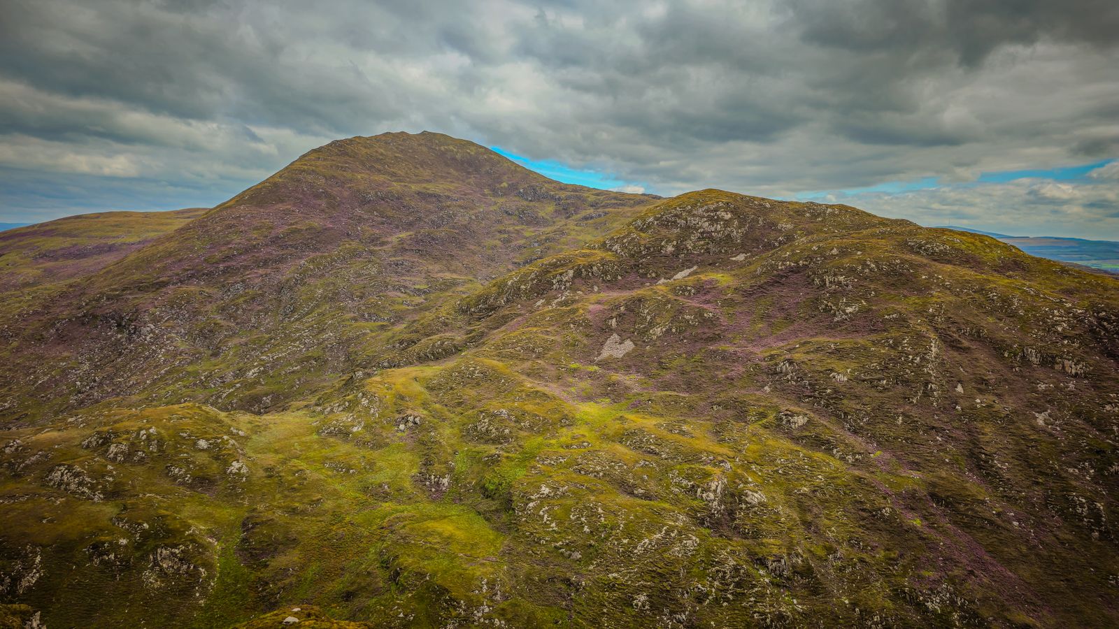
Croagh Patrick stands at the south shore of Clew Bay, a rounded mountain rising from low ground near the village of Murrisk. The main path climbs from a car park below the mountain to a summit chapel, and the view over the bay and its islands opens as you gain height.
The mountain itself
Croagh Patrick is a mountain of quartzite and shale, shaped into a broad cone that stands apart from higher ground to the south. It rises from near sea level at the head of Clew Bay, so the whole climb is gained from the bottom, with no plateau to soften it.
The name in Irish is Cruach Phádraig, and the mountain has been a place of pilgrimage for centuries. Tradition links it with St Patrick, though the mountain was a sacred site before that. The summit holds a small chapel and a few low remains.
Because the mountain stands alone, the summit gives a wide view in every direction: Clew Bay and its many islands to the north, the Sheeffry and Mweelrea hills to the south and west, and the country around Westport to the east. On a clear day the view is the reward for the climb.
The path up
The main route starts at a car park at Murrisk, on the coast road south of Westport. A track leads up through a lower section, past a statue of St Patrick, and then the ground steepens into a long slope of loose stone and scree. This upper section is the hardest part.
The path is not a gentle walk. The stone is loose in places, and the surface moves underfoot, so progress is slower than the distance suggests. Many people use a stick. The descent is often harder than the ascent, because the loose stone gives way and the knees take the load.
The route is not waymarked like a lowland trail, but the line to the summit is obvious in good visibility. In cloud or mist the top section can be disorienting. Carry a map and compass, or a charged phone with an offline map, and turn back if the weather closes in.
Check the mountain forecast with Met Éireann before setting out, and tell someone your plan. Conditions on the upper slope change quickly.
The pilgrimage
Croagh Patrick has a long history as a penitential site. Pilgrims have climbed it for centuries, and the tradition holds that St Patrick spent time on the mountain in the fifth century. The summit chapel and the stations along the route belong to that tradition.
The main pilgrimage day falls at the end of July, when large numbers climb, some of them barefoot on the upper stone. The date is fixed by tradition rather than by the weather, so the mountain can be busy and the path congested on that day.
The climb is also made at other times of year by individuals and small groups. Mass is sometimes celebrated at the summit chapel. For details of services and the pattern day, check with the parish or the Catholic diocese rather than relying on old information.
Weather and seasons
The mountain stands close to the Atlantic, and the summit is often in cloud when the lower ground is clear. Rain is possible in every month, and wind on the exposed upper slope can be strong even on a mild day at the coast.
The best conditions for the climb are usually in late spring and early summer, when the days are long and the ground has dried after winter. Autumn can bring clear, cold days with good views, but the daylight shortens quickly through October and November.
Winter climbing is for those with experience and proper equipment. Ice and snow can lie on the upper slope, and the loose stone becomes more treacherous. Daylight in late December runs to about seven and a half hours, so a winter ascent needs an early start and a firm turnaround time.
Met Éireann gives mountain forecasts for the west. Wind, cloud base and rain are the three things to check before a climb.
Ground and wildlife
The lower slopes carry rough grazing, heather and bog, with streams running down to the coast road. The upper mountain is mostly bare rock and scree, with little to shelter plants or animals from wind and frost.
Raven and peregrine are seen around the crags, and wheatear and meadow pipit on the open ground. The bog and wet ground at the foot of the mountain hold frogs, dragonflies and bog cotton in summer. The mountain is not a nature reserve, but the habitats are typical of the west.
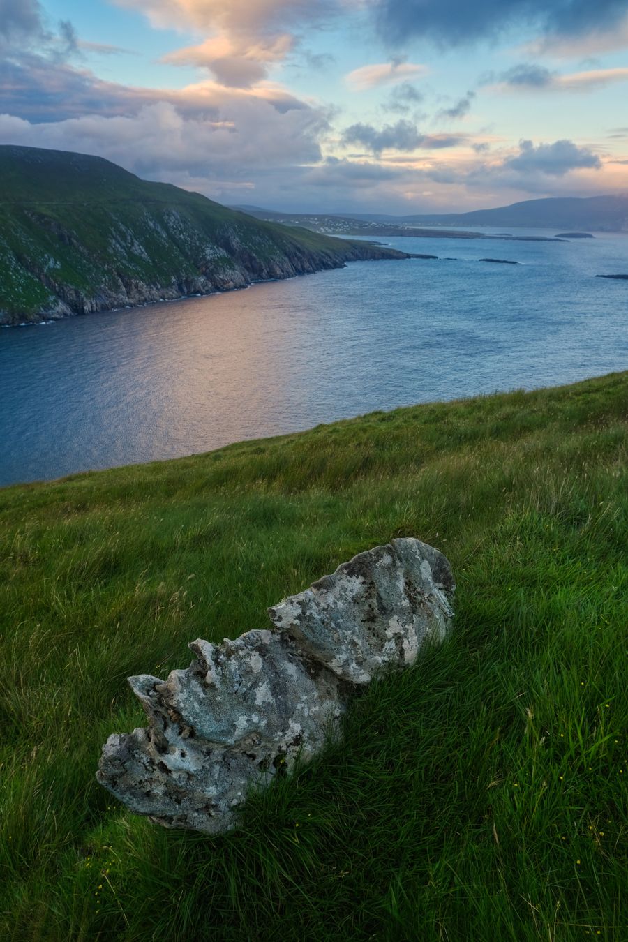
The bay below is a different world. Clew Bay holds a large number of small islands and drumlins, and the sheltered water attracts wading birds and seals. A pair of binoculars is worth carrying for the view down from the path as much as for the summit.
Where to base yourself
Westport is the natural base for Croagh Patrick. The town sits a short drive or a longer walk from Murrisk, and it has the widest choice of places to stay, eat and buy supplies in the area. It is also a good centre for the coast and the Great Western Greenway.
Murrisk itself is close to the start of the path, with a small cluster of buildings near the car park. It suits anyone who wants to be on the mountain early. Louisburgh, further west along the coast, is quieter and gives access to the beaches and hills of south Mayo.
For a wider trip, Westport works as a base for the Wild Atlantic Way in Mayo, for Achill Island to the north and for Connemara to the south. The road and rail links from Westport make it practical without a car for part of the time, though a car helps for the coast.
Around the mountain
The coast road from Westport to Louisburgh runs below the mountain and gives views across Clew Bay. Beaches at Bertra and Old Head are close by, and the Great Western Greenway runs from Westport towards Achill, following a former railway line.
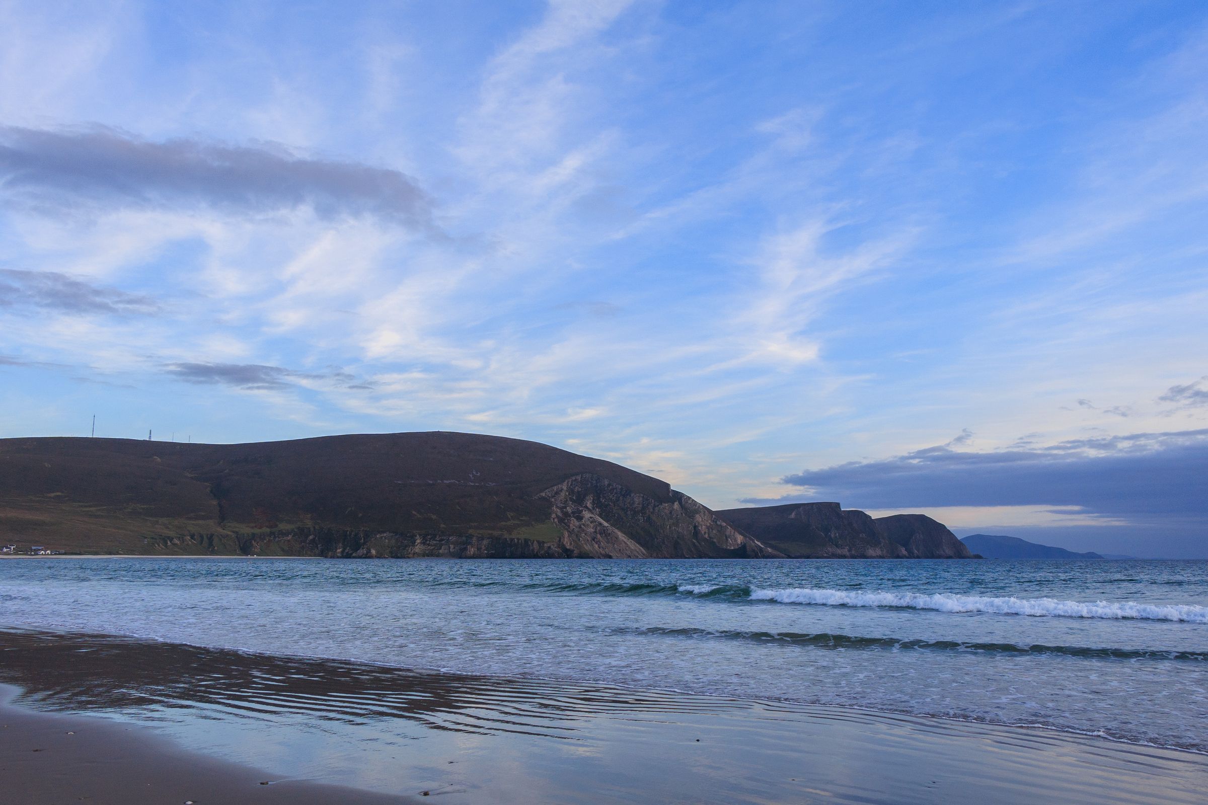
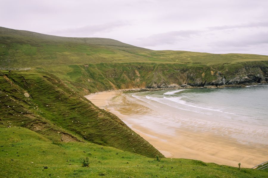
Achill Island lies to the north, reached by road across a bridge, with cliffs, beaches and the mountain of Slievemore. Keem Bay at the western end of the island is a sheltered strand below a headland, with a road down to it.
Inland, the hills of south Mayo and the Sheeffry range give longer walks and quieter ground. The villages along the coast have small heritage sites and holy wells. For a wet day, Westport has the practical indoor options: shops, cafés and a covered pool.