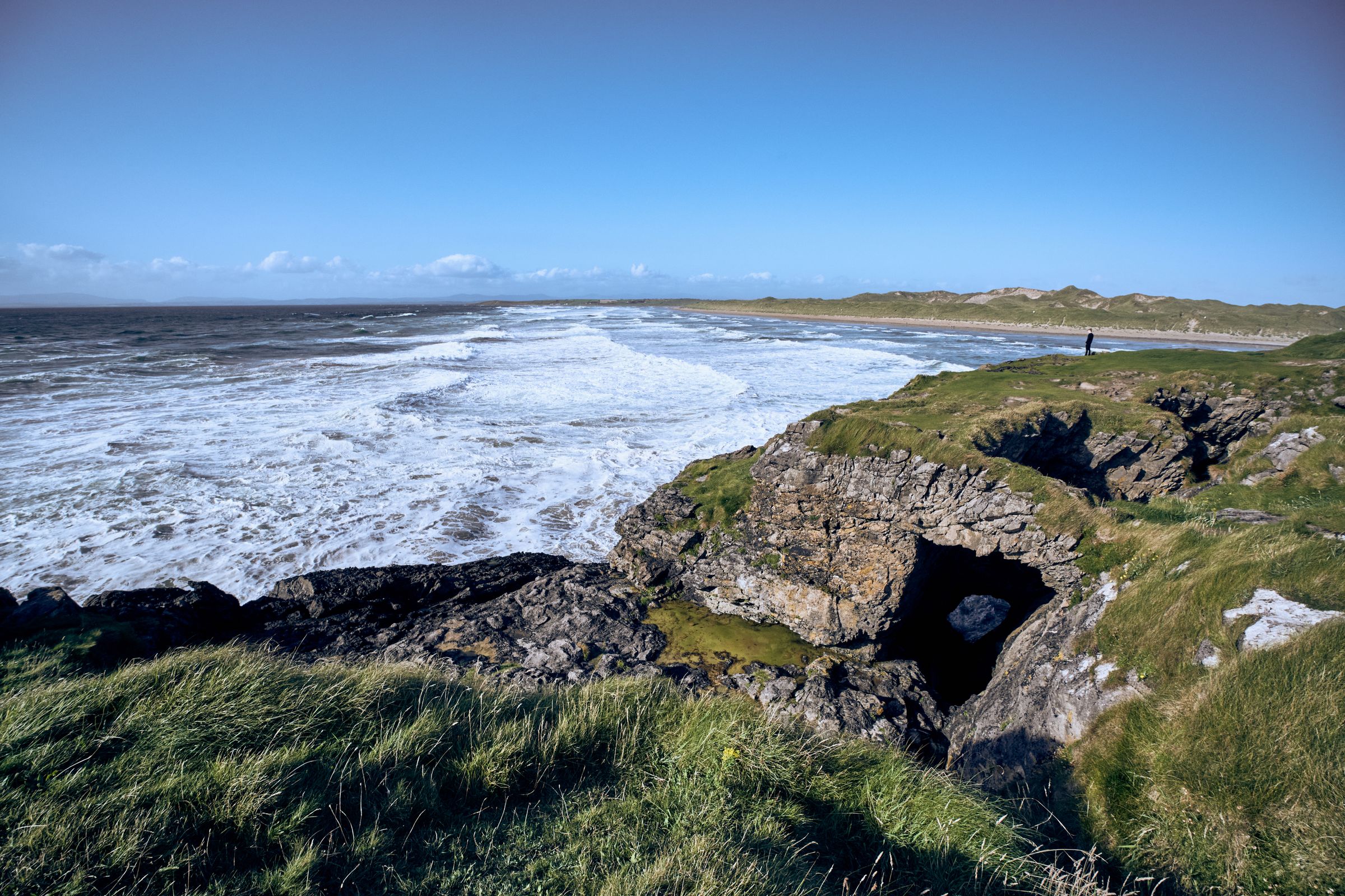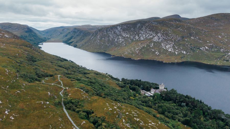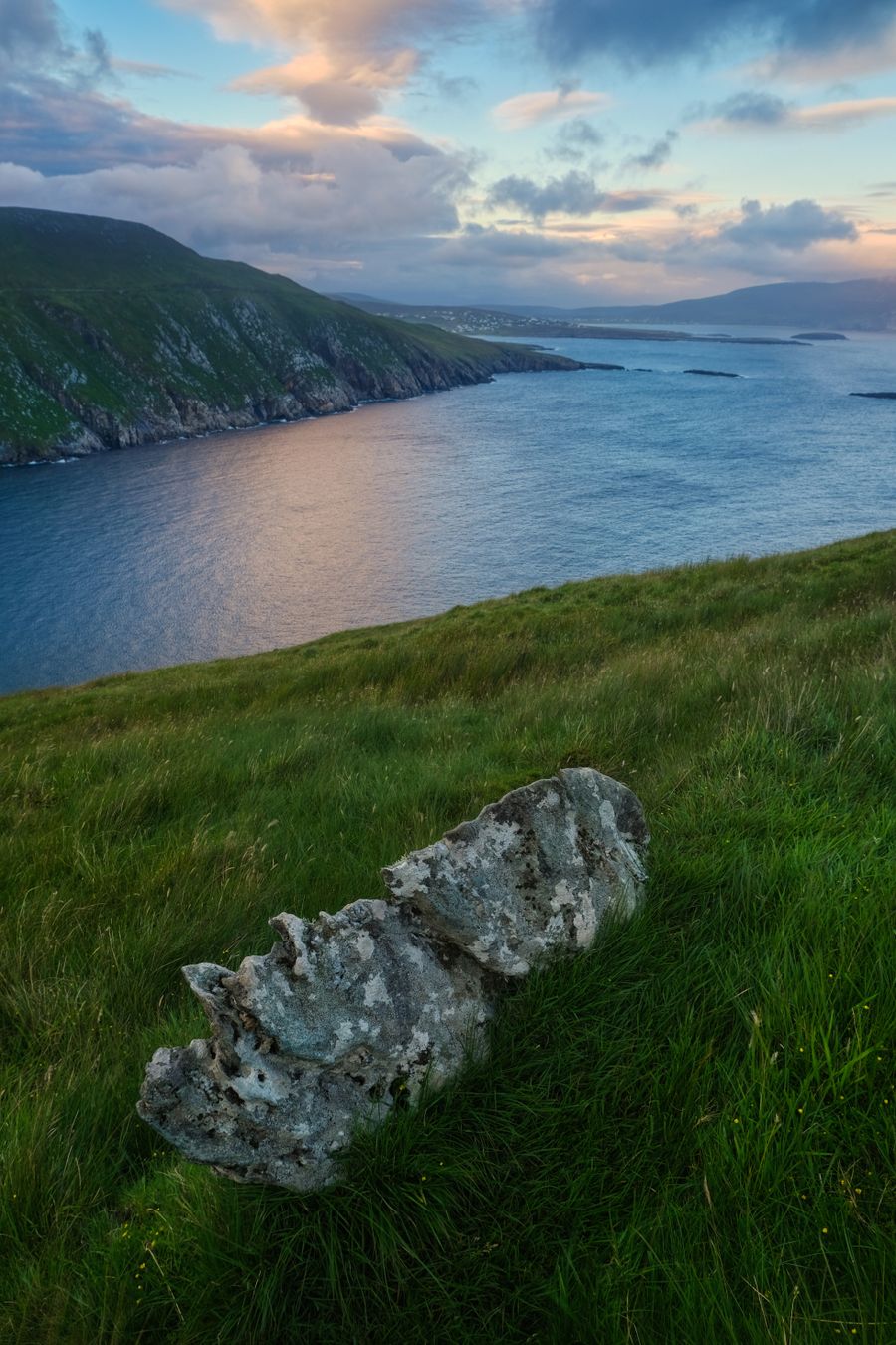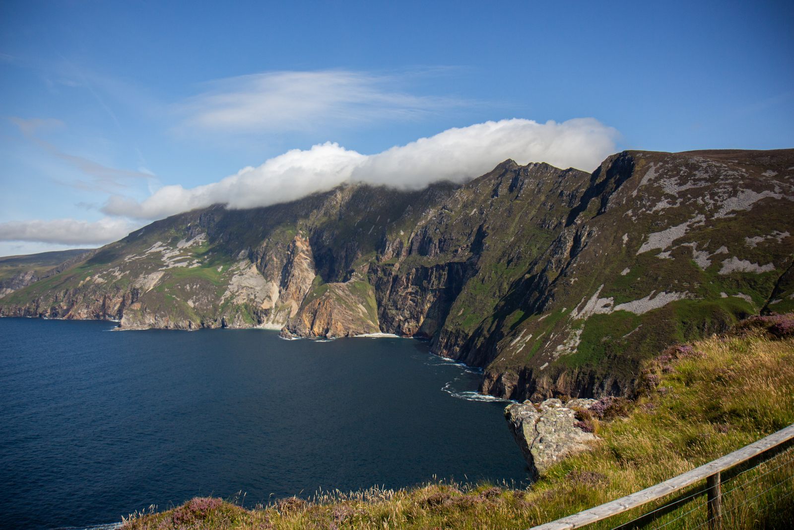
Sliabh Liag rises from the Atlantic in the south west of County Donegal, near the village of Teelin. The cliffs are among the highest sea cliffs in Europe, and a viewing point above the water gives the scale of them without a long walk.
The cliffs themselves
Sliabh Liag is a wall of rock dropping to the Atlantic on the Donegal coast, west of Teelin and south of Carrick. The land above is open hillside, grazed and exposed, and the sea below is deep and often rough. The face runs for a good stretch of coast, broken by gullies and buttresses of dark stone.
The cliffs face south and west, so they take the full run of Atlantic weather. Cloud can sit on the top while the water below is clear, and the reverse happens too. A day that starts grey often clears by afternoon, and a bright morning can close in by lunchtime.
The name is sometimes written Slieve League. Both forms appear on maps and signs. The Irish name is Sliabh Liag, and road signs in this part of Donegal are in Irish only, so a map with both forms is useful when driving the lanes.
The rock here is old and layered, folded and tilted over a long history. Geologists come for the exposed sections, and walkers notice the colour and the grain of the stone underfoot. The surface is slippery where it is wet, which is often.
The viewing point
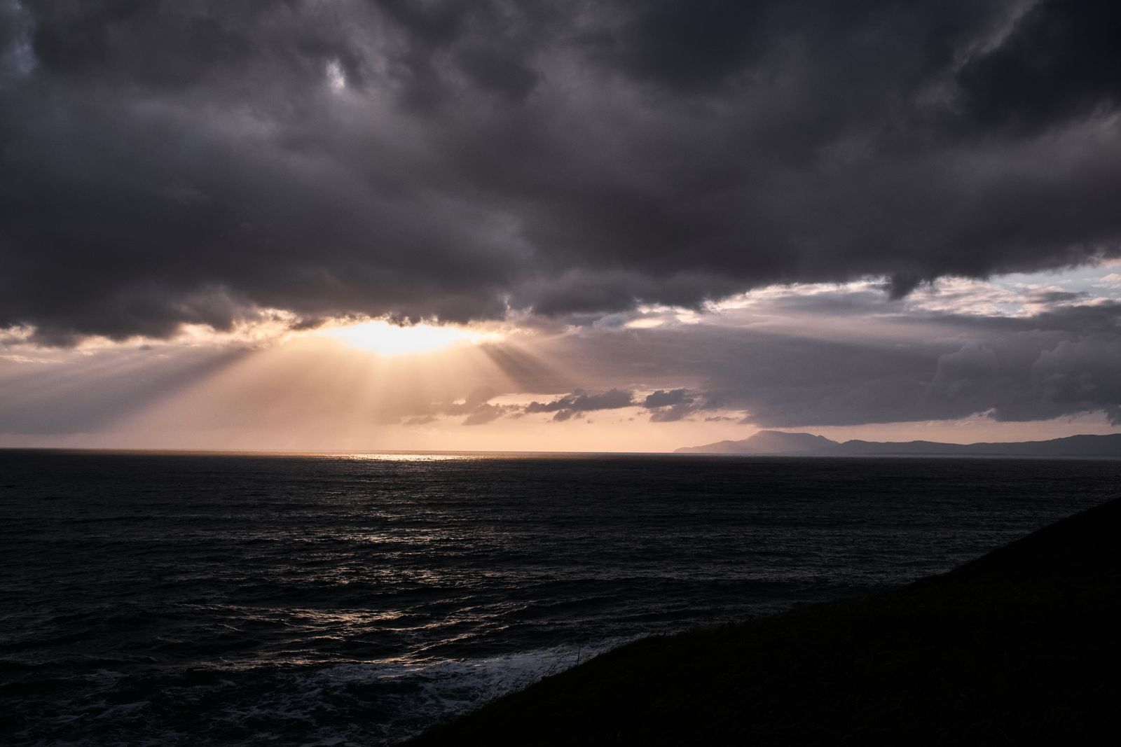
A short walk from the upper parking area leads to a viewing point above the water, with a clear look along the face of the cliffs and out to sea. The ground is uneven and the drop is close, so the last few metres need care, particularly in wind or after rain.
The viewing point suits anyone who wants the view without the full cliff walk. It is the part of Sliabh Liag most people see, and on a clear day it is enough. Benches and a low wall mark the spot, but there is no shelter from the weather.
Parking is limited and fills on fine summer days. Arriving early or late in the day makes a difference, and the light is often better in the evening. There is no visitor centre here, and no shelter on the hill, so a coat belongs in the bag even on a bright morning.
The road up to the parking areas is steep and narrow, with passing places. Larger vehicles struggle on the last stretch, and a shuttle service has run in some seasons. Arrangements change, so check with Donegal County Council or Fáilte Ireland before relying on one.
Check the weather forecast with Met Éireann before setting out, and turn back if cloud comes down on the top.
Walking the cliff path
A signed path runs along the cliff top from the viewing point towards the higher ground, with the sea on one side and open hillside on the other. The surface is rough in places, with loose stone and wet ground after rain, and the path narrows where it crosses steeper ground.
The walk is not a loop. Most people go out along the path and return the same way, turning back when the weather or the time suggests it. There is no fence along much of the route, and the edge is closer than it looks from the path.
Good footwear matters more than distance here. The path is exposed, the wind is constant on a bad day, and there is nowhere to shelter once you are out on the cliff. Rain gear belongs in the bag in every month, along with water and something to eat.
The higher ground above the path gives views north towards the Donegal highlands and south along the coast. On a clear day the shape of the county is plain from up here, with bog and mountain running inland and the sea running out to the horizon.
One Man's Pass
One Man's Pass is a narrow ridge on the higher ground above the cliffs, walked by experienced hillwalkers with a head for exposure. It is not part of the main cliff path and should not be attempted in wind or wet, when the rock and grass turn slick.
The ridge is steep on both sides and the ground is loose. Anyone going beyond the marked path should carry a map and compass and know how to use them, and should tell someone where they are going and when to expect them back.
Mountain rescue in this part of Donegal is volunteer run. Mobile coverage is patchy on the hill, so a plan made before setting out is worth more than a phone signal. Leave word with someone at your base and keep to the plan.
For most visitors the main path and the viewing point give plenty. The ridge is a serious outing, and the weather on the day decides whether it is sensible at all. A forecast of strong wind or low cloud rules it out.
For the ridge and higher ground, check conditions with Mountaineering Ireland and carry a paper map.
Teelin and Carrick
Teelin is the village nearest the cliffs, a small place at the head of a sheltered bay with a pier below the road. It is a working harbour as well as a stopping point, and the water here is calm compared with the open Atlantic beyond the headland.
Carrick is a few kilometres further north, a scattered village above the cliffs with a harbour of its own. Both places have places to stay and eat, and both make a quiet base for a night or two close to the cliff path and the viewing point.
This is a Gaeltacht area, where Irish is the community language. Place names on signs are in Irish only, and a little of the language goes a long way with people here. The area has a long fishing and knitting tradition, and the pace is slow.
The coast road between the two villages is narrow and winding, with views down to the water in places. Driving it slowly is part of the visit. Walkers and cyclists share the lanes, so give them room and take the bends with care.
Getting there
Sliabh Liag is reached by road from Killybegs or from Ardara, on narrow lanes that climb and twist. The final stretch to the parking areas is steep in places, and passing other cars needs care, especially in summer when the lanes are busy.
There is no rail line to this coast. Bus services in the area are limited; TFI Local Link covers some rural routes, and timetables change, so check with the operator before relying on one. A car is the practical way to see this stretch of coast at your own pace.
Driving is the practical way to see this coast. Traffic drives on the left, distances are in kilometres and speeds in km/h in the Republic, and fuel is sold in litres. Fill up before the last lanes, since services thin out beyond Killybegs and Ardara.
The cliffs sit on the Wild Atlantic Way, the signed coastal route from Inishowen in Donegal to Kinsale in Cork. The Donegal section is long and varied, and Sliabh Liag is one of its stopping points. Signage follows the route, so the way is easy to follow.
Timetables and seasonal bus routes change: check with TFI Local Link or Bus Éireann for the current service.
Where to base yourself
Killybegs is the nearest town of any size, a fishing port with a working harbour and a spread of places to stay. It sits a short drive from the cliffs and has the services the villages lack, including fuel, food and a choice of accommodation for a night or two.
Donegal town, further east, is a larger base with more choice of accommodation and food, and it puts the rest of the county within reach. Ardara, to the north, suits anyone touring the coast, with a compact centre and a strong tradition of weaving.
Sliabh Liag sits on the Wild Atlantic Way, the signed coastal route from Inishowen in Donegal to Kinsale in Cork. A base here works well for a few days on the Donegal section of it, with Glenveagh and the northern coast within a day's drive.
For a first trip to the county, Donegal town or Killybegs makes the simplest base, with the cliffs a short drive away. Teelin and Carrick suit anyone who wants to be close to the water and the path, and who does not mind fewer services on the doorstep.