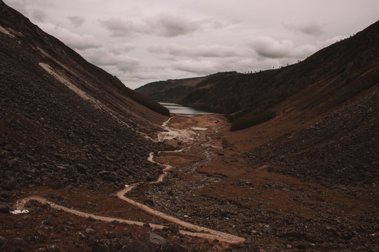
Glendalough sits in a steep valley in the Wicklow Mountains, south of Dublin. A monastic settlement founded in the early medieval period stands at the valley floor, and two lakes lie beyond it. Marked trails lead up the sides of the valley.
The monastic site
The monastic settlement at Glendalough grew around a foundation associated with Saint Kevin, a hermit who lived in the valley. For centuries it was a centre of learning and pilgrimage, and pilgrims still walk here. The ruins stand on flat ground near the lower lake, enclosed by an old stone wall with a gateway arch.
The most prominent structure is the round tower, built of stone and standing about thirty metres high. Its doorway is set several metres above the ground, reached originally by a ladder that could be pulled inside. Round towers served as bell towers and as places of refuge for people and valuables during raids.
Around the tower stand several small stone churches and a stone cross. The largest ruin is the cathedral, a complex of buildings added to over centuries. The site is cared for by the Office of Public Works, and a visitor centre near the car park explains the history and the archaeology of the valley.
The monastic ruins are free to walk around. The visitor centre exhibition is ticketed; check Heritage Ireland for opening times, which change through the year.
The two lakes
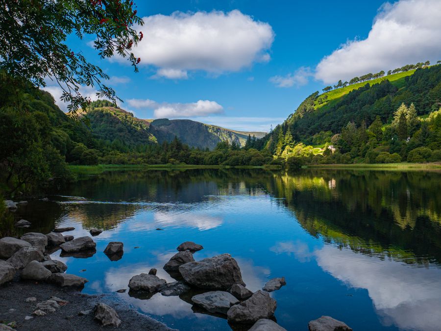
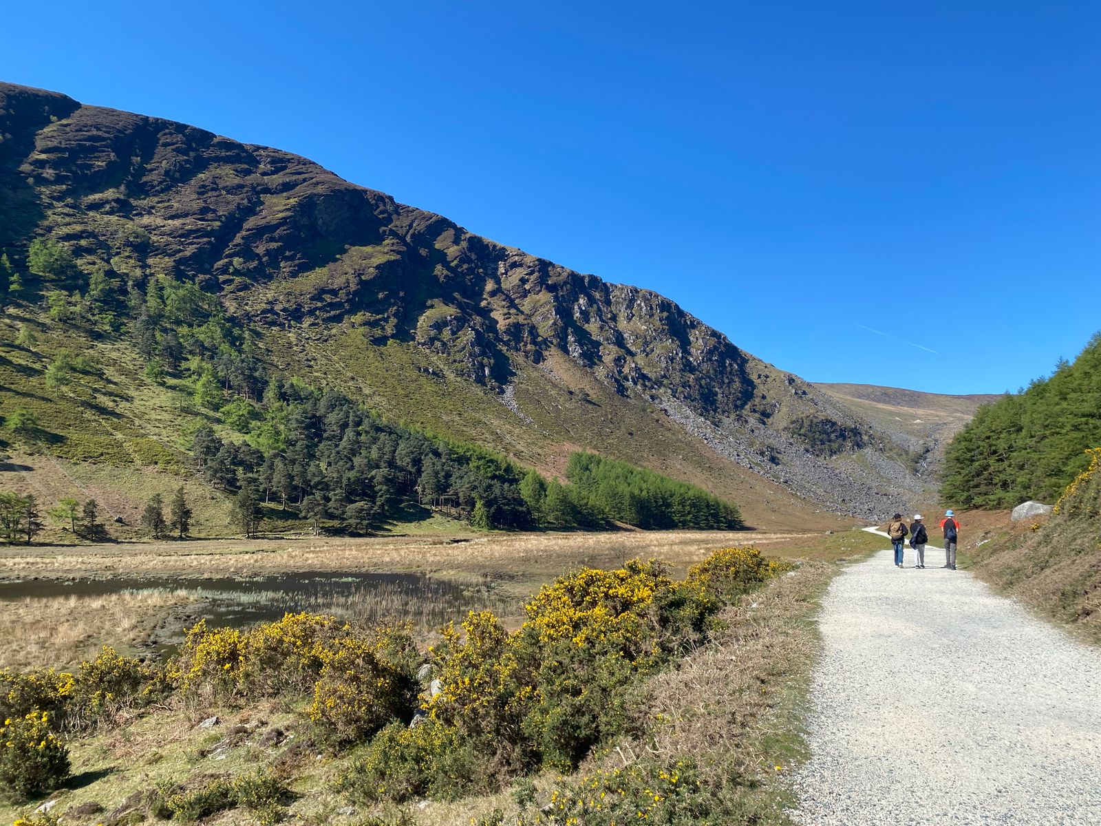
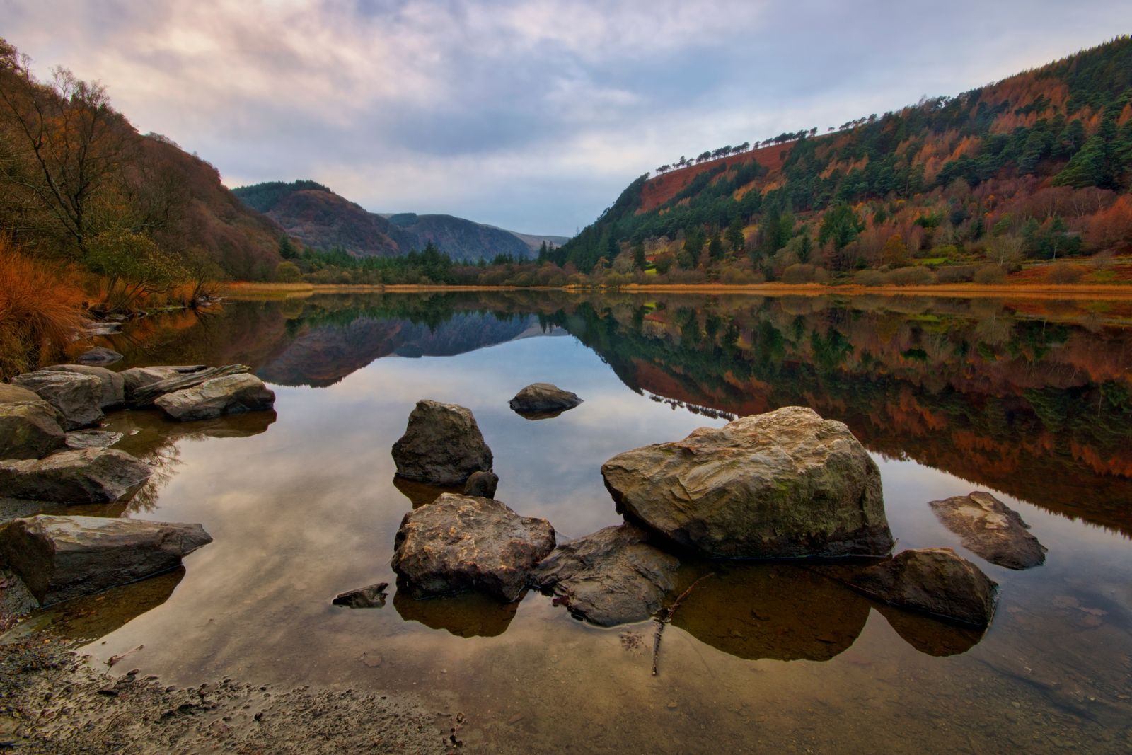
The valley holds two lakes, an upper and a lower, separated by a short stretch of flat ground. The lower lake lies close to the monastic site and is the easier of the two to reach on foot. A path runs along its shore, with views across the water to wooded slopes on the far side.
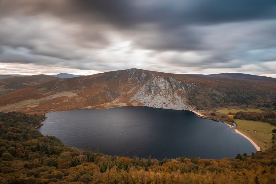
The upper lake sits further up the valley, below steep cliffs and scree slopes. The ground between the lakes is open and grassy, crossed by paths and a road. The upper lake is deeper and more enclosed, and the mountains rise sharply from its western shore.
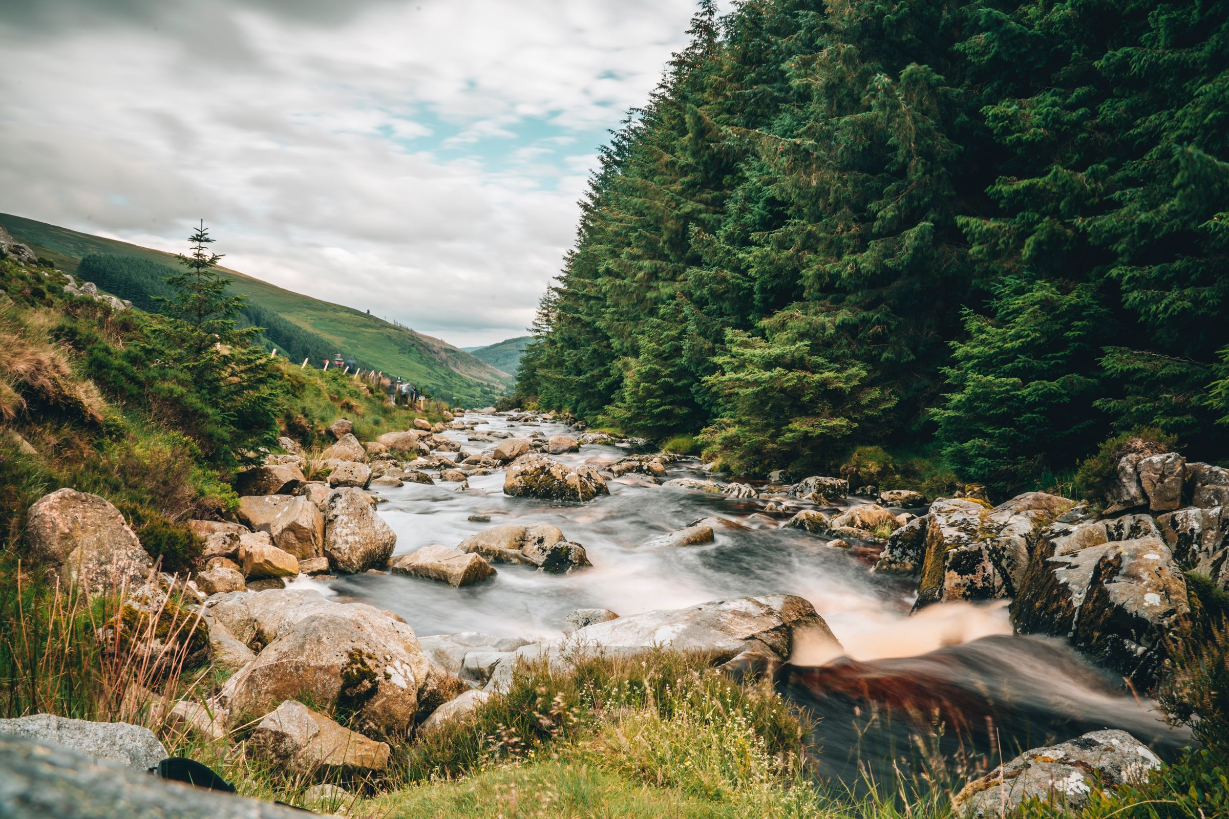
Both lakes are fed by streams coming down from the surrounding hills. After heavy rain the water levels rise and paths near the shore can become muddy. The valley floor is largely wooded, with oak, birch and pine on the slopes, and the mix of water and forest gives the place its character.
Walks and trails
A network of marked trails leaves from the visitor centre and the car parks. Short waymarked routes suit families and take an hour or less, staying close to the lakes and the monastic site. Longer routes climb the sides of the valley to viewpoints above the water.
The Wicklow Way, a long-distance walking route, passes through Glendalough on its way from the Dublin hills south to County Carlow. Walkers can join it here for a section in either direction. The route is waymarked with yellow markers showing a walking figure.
Trails vary in difficulty, and some climb steadily over rough ground. Weather in the valley changes quickly, and mist can descend on the higher ground with little warning. Sturdy footwear and a waterproof layer are sensible at any time of year. Maps and trail information are available at the visitor centre.
Check the weather forecast with Met Éireann before setting out, and tell someone your route if you plan a longer hill walk.
Saint Kevin and pilgrimage
Saint Kevin is the figure most closely linked with Glendalough. Tradition holds that he came to the valley as a hermit and lived in a small stone cell, and that a settlement grew around him. The stories attached to him include one about a blackbird nesting in his outstretched hand.
Pilgrimage to Glendalough has continued for centuries. Patterns and devotions were held here in the past, and the site remains a place of quiet reflection for many visitors. The old graveyard around the churches holds marked graves and carved stones.
A small cave associated with the saint, sometimes called Kevin's bed, is cut into the rock above the upper lake. It is not generally accessible to visitors, and the slopes around it are steep. The traditions attached to the valley are part of what draws people here as much as the buildings themselves.
The visitor centre
The visitor centre stands near the main car park, close to the monastic site. It holds an exhibition on the history of the settlement, the archaeology of the valley and the wildlife of the Wicklow Mountains. Displays cover the round tower, the stone churches and the daily life of a monastic community.
The centre is the place to pick up trail maps and ask about conditions on the higher routes. Staff can advise on which walks suit the time available and the weather. Toilets and a café are nearby, and the centre is a sensible first stop on arrival.
Opening hours vary through the year, and the exhibition is ticketed. The grounds and the monastic ruins can be visited without entering the centre. Check Heritage Ireland, which manages the site through the Office of Public Works, for current details before travelling.
Getting there
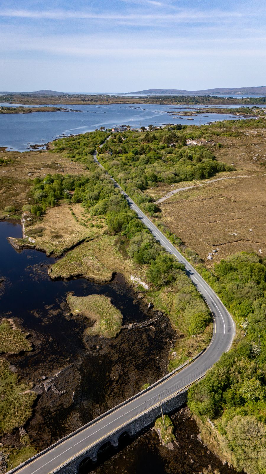
Glendalough lies south of Dublin in County Wicklow, reached by road through the village of Laragh. The drive from Dublin takes in the Wicklow Mountains and passes through several small villages. Roads in the valley are narrow in places, and car parks fill early on fine weekends and in summer.
Public transport to the valley is limited. Some bus services run from Dublin and from nearby towns, but timetables are seasonal and change. Transport for Ireland has a journey planner that covers the options. A car gives the most flexibility for reaching the trailheads and the upper lake.
Parking is charged, and the main car park is close to the visitor centre. A second car park serves the upper lake. Visitors arriving late in the day may find the main car park full, particularly in summer, so an early start helps.
Timetables for buses to Glendalough are limited and change with the season. Check Transport for Ireland and the operator before relying on public transport.
Where to base yourself
Laragh is the nearest village, a short drive from the monastic site, with places to stay and eat. Roundwood, a little further north, is another small village with accommodation and a shop. Both suit visitors who want to be close to the valley and the surrounding hills.
Bray and Greystones on the coast are larger towns with rail links to Dublin and a wider choice of places to stay. They work well as bases for the northern Wicklow Mountains and the coast. Dublin itself is within reach for a day trip, though the drive takes time.
Further south, Rathdrum and Wicklow town serve the southern end of the mountains. Avoca, with its hand-weaving tradition, sits in the valley to the south. Choosing a base depends on whether the plan is walking in the hills, touring the county by car or combining the mountains with the coast.