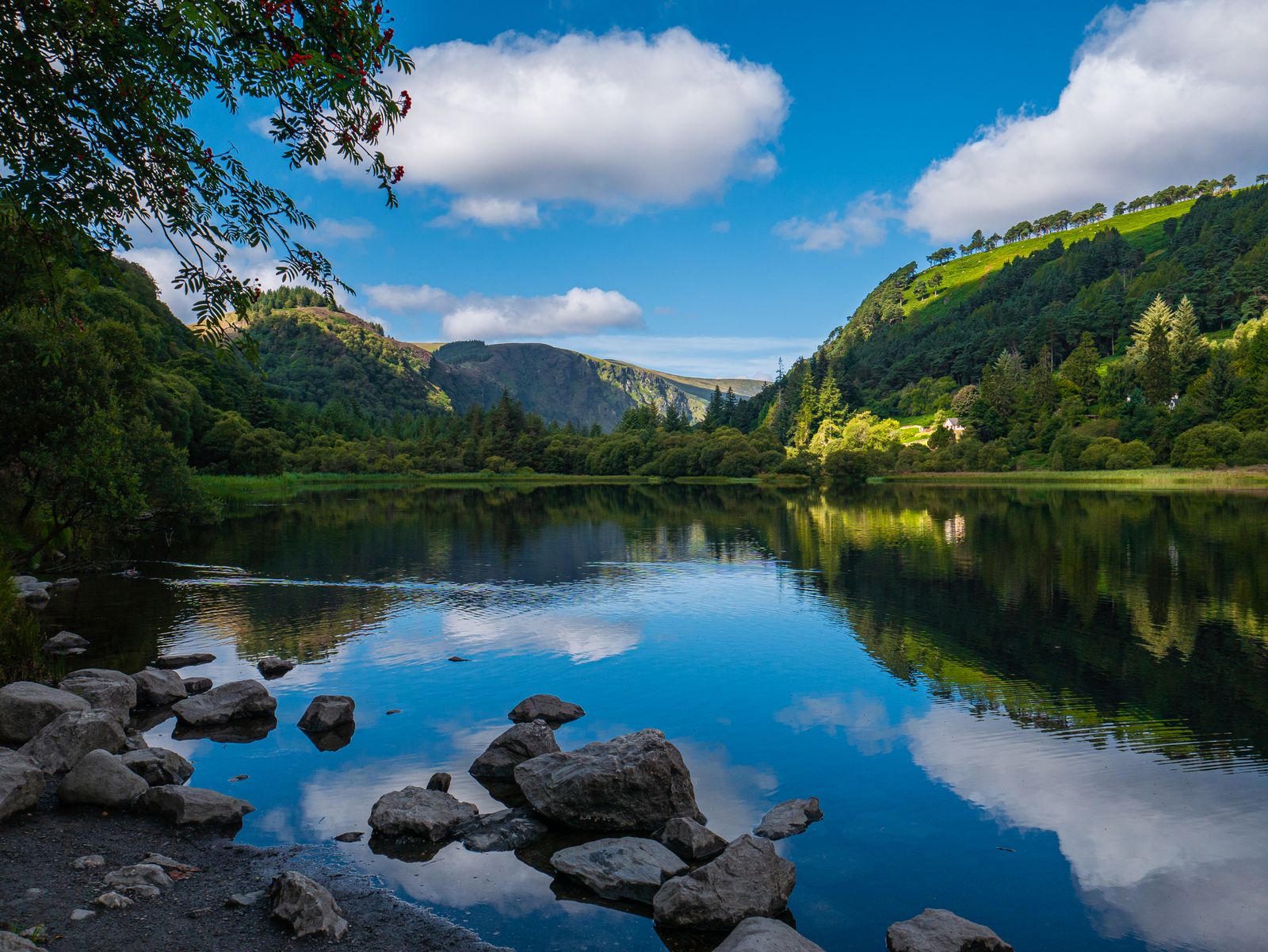
The Wicklow Mountains rise south of Dublin and run down through County Wicklow into Carlow and Wexford. The uplands are mostly granite, shaped by ice into broad valleys and steep-sided glens, with blanket bog on the tops and conifer forest on many slopes.
Glendalough
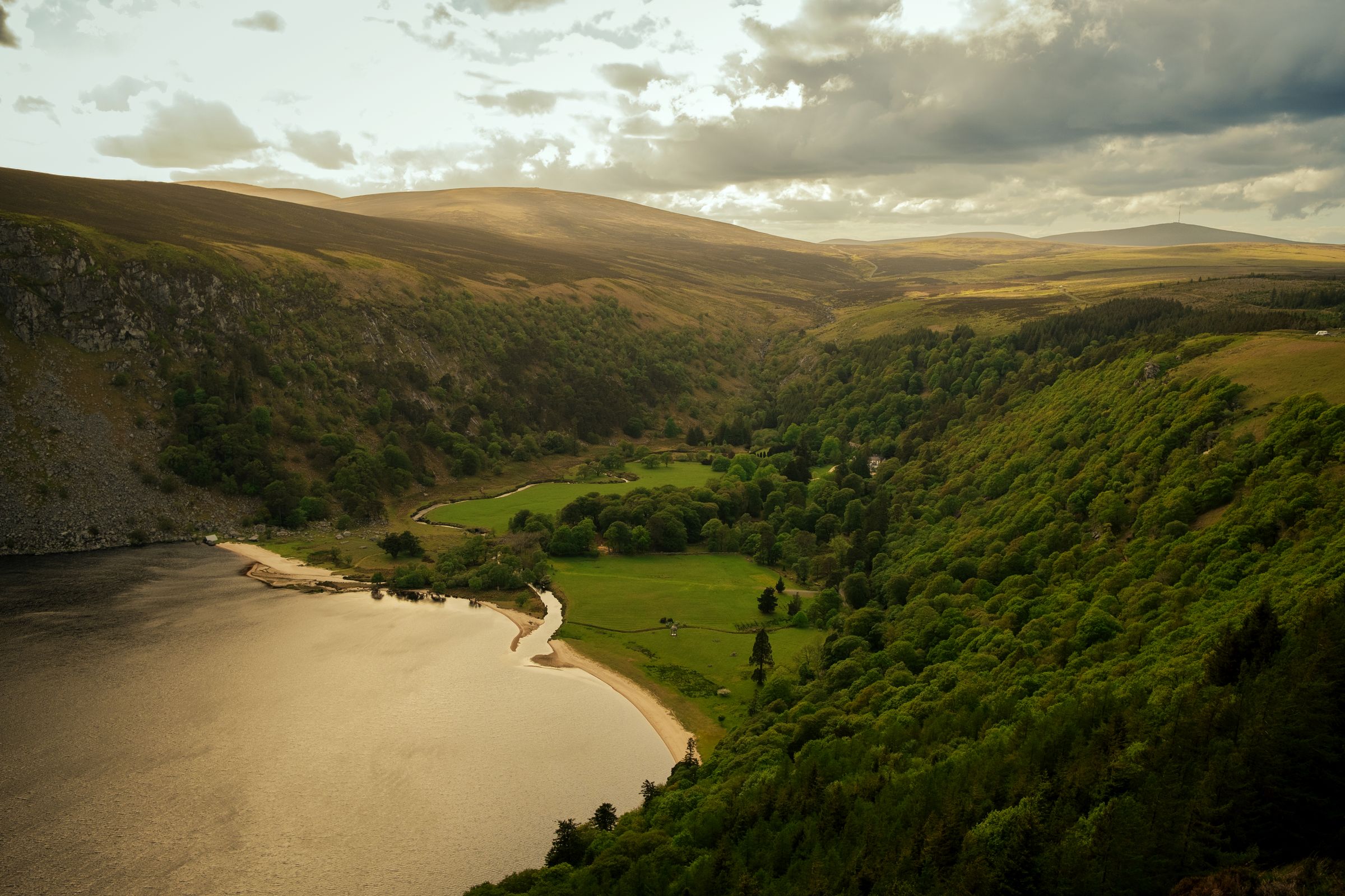
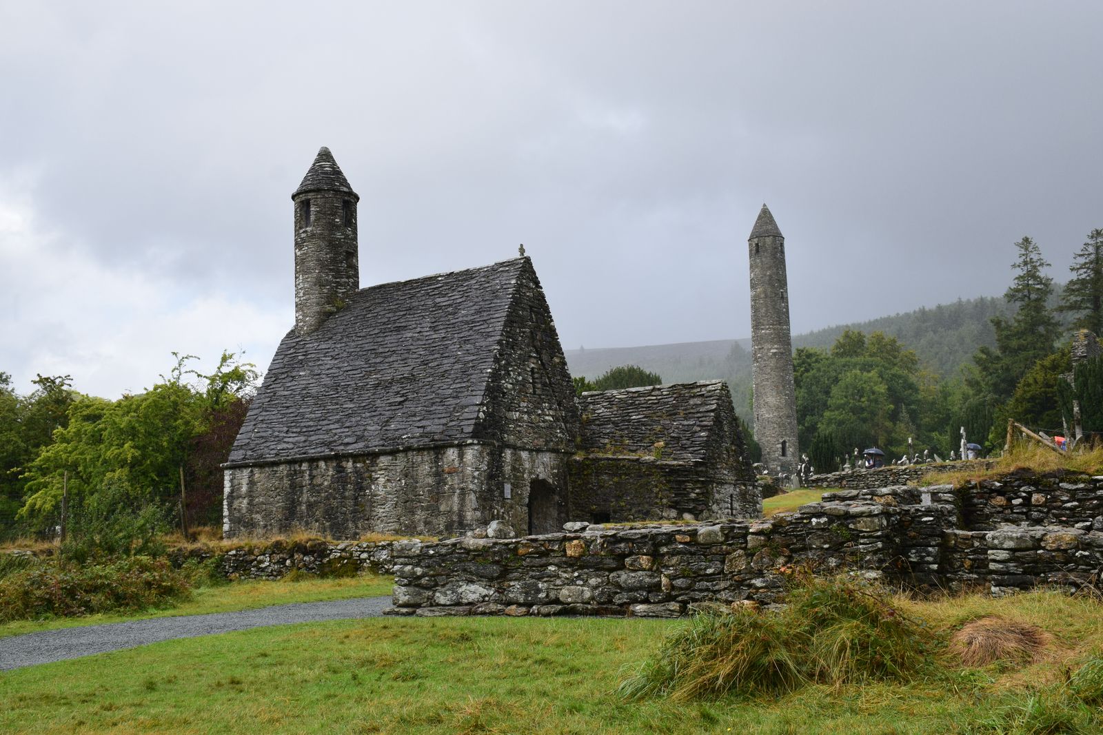
Glendalough means the glen of two lakes. A monastery was founded here in the early medieval period, and the ruins that remain include a round tower, several small churches and a large number of stone crosses and grave slabs across the site.
The monastic site is cared for by the Office of Public Works. A visitor centre explains the history and the archaeology, and a charge applies to the centre and to some parking. The graveyard and the lower paths can be walked without a ticket.
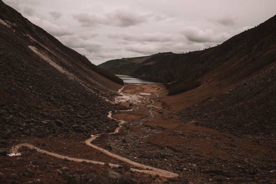
Two lakes lie up the valley beyond the ruins. The lower lake is a short walk from the visitor centre. The upper lake sits further up a track, below steep slopes, and is the start of several longer hill routes.
Opening hours at the visitor centre change with the season. Check the Heritage Ireland page from the Office of Public Works before travelling.
Walking the hills
The Wicklow Way is a long-distance walking route that crosses the mountains from the Dublin suburbs south to Clonegal in County Carlow. It passes through Glendalough and can be joined at many points for a day section.
Shorter waymarked trails leave from Glendalough, around the lakes and up to viewpoints above the valley. The upland paths are rough in places, with boardwalk over wet ground, and the tops are exposed to wind and rain.
Wicklow Mountains National Park covers much of the upland and is run by the National Parks and Wildlife Service. Its staff maintain paths and publish route advice. Hillwalking here needs a map, waterproofs and footwear suited to wet ground.
Weather on the tops differs from the valley. Check the mountain forecast from Met Éireann and the park's safety notes from the National Parks and Wildlife Service.
Driving the uplands
Several roads cross the mountains. The R759 over the Wicklow Gap links the N81 near Hollywood with the valley at Glendalough, climbing onto open bog with wide views. The road is narrow in places and can be busy at weekends.
The Sally Gap road crosses the centre of the uplands and meets the Military Road, built in the eighteenth century to patrol the hills. These roads are unfenced in parts, with sheep on the verge, so speed needs care.
The Wicklow Mountains lie within easy reach of Dublin, and the main valleys fill quickly on fine weekends and public holidays. Starting early leaves more room on the paths and at the car parks.
Monastic and later history
Glendalough is the best known early Christian site in the mountains, but it is not the only one. Small churches and burial grounds are scattered through the glens, some reached only on foot.
Later history left its mark too. The Military Road and its barracks were built after the 1798 rebellion to open up the uplands. Some of the stone bridges and stretches of road survive.
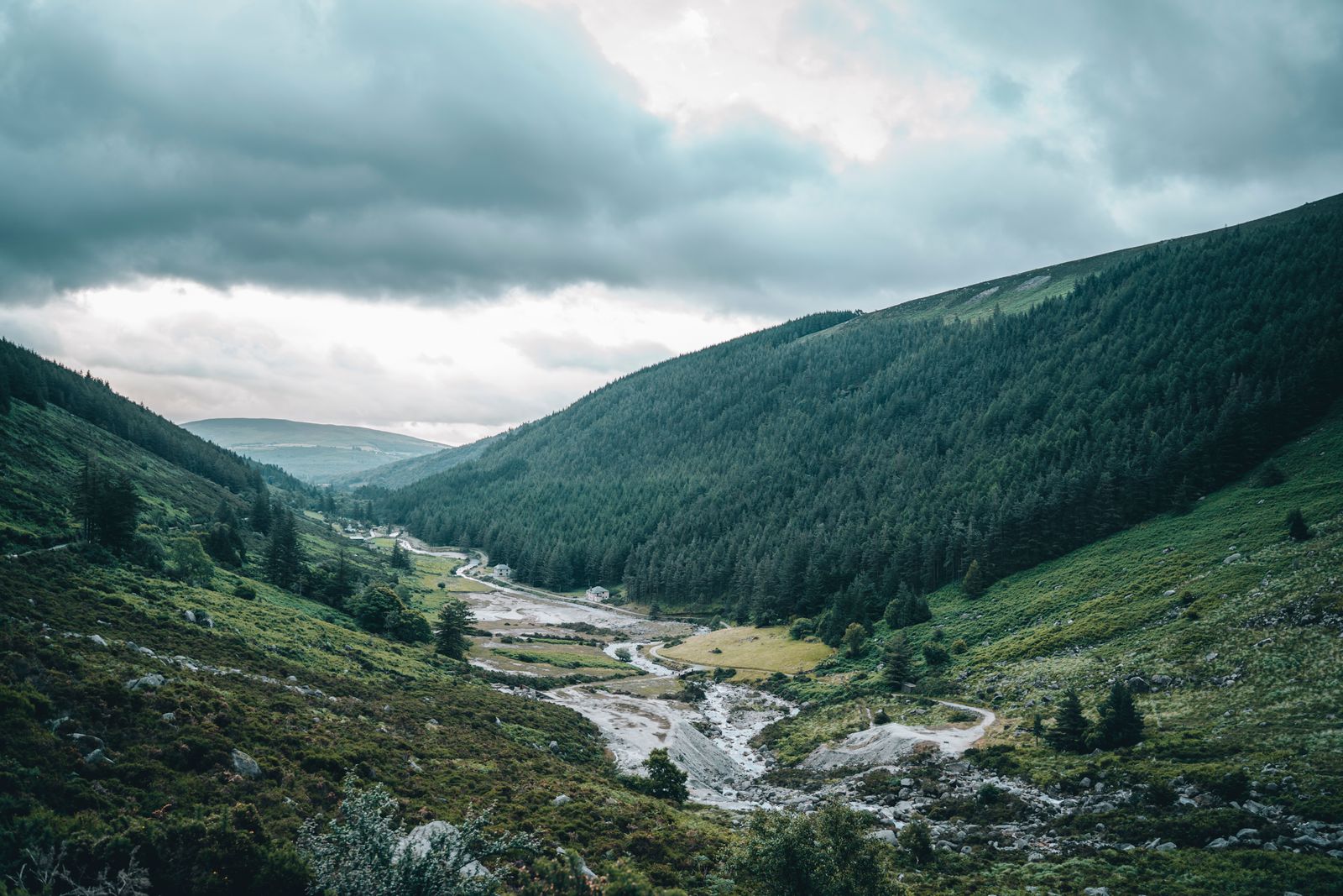
The mountains also hold the remains of mining. Lead and other minerals were worked at several sites in the uplands, and old workings and spoil heaps can still be seen near some of the valleys.
Choosing a base
Rathdrum, south of Glendalough, is a small town with shops and places to stay, and it puts the monastic site within a short drive. Laragh, closer to the valley, is smaller and sits at the road junction below Glendalough.
Blessington, on the N81 at the western edge of the hills, has a broad choice of accommodation and a lake beside it. Bray and Greystones on the coast give rail access to Dublin and a shorter run to the northern end of the mountains.
Roundwood and Enniskerry sit on the eastern side, convenient for the Sally Gap and the Powerscourt area. Each base suits a different part of the hills, so the choice depends on which valleys you plan to walk.
Accommodation fills early on summer weekends. Book ahead and confirm the location against the valleys you plan to visit.
Getting there and around
The mountains are close to Dublin, and most visitors arrive by car. The N81 runs along the western side through Blessington, and the M11 and N11 serve the eastern side towards Arklow.
Public transport is limited. Some bus services run from Dublin and from nearby towns to Glendalough and the main villages, but timetables are sparse and change. Transport for Ireland has a journey planner that covers the options.
There is no railway through the uplands. The nearest rail stations are on the coast at Bray, Greystones, Wicklow town and Arklow, served by Iarnród Éireann and the DART in the northern section.
Bus times to Glendalough are limited and change with the season. Check the current timetable with Transport for Ireland before relying on a service.
Beyond the mountains
The mountains run down to the coast, and the towns of Bray, Greystones, Wicklow and Arklow sit along it. The cliff walk between Bray and Greystones follows the shore below Bray Head.
Inland, the valleys open into farmland. Avoca is known for its hand weaving history, and the meeting of the waters where two rivers join is a short walk from the village.
Powerscourt, near Enniskerry, has formal gardens and a waterfall, both ticketed. The gardens and the house are a short drive from the northern end of the mountains and combine well with a day on the eastern roads.
When to visit
The mountains can be walked in any month, but the uplands are wetter than the coast and the tops catch cloud when the valleys are clear. Rain is possible in every season.
Summer brings long evenings and the best chance of dry days, along with the busiest roads and car parks. Spring and autumn are quieter, with shorter daylight and softer ground underfoot.
Winter daylight is short, and snow can lie on the tops for a time. Paths become muddy and the open ground holds water, so a shorter low-level walk is often the better choice.