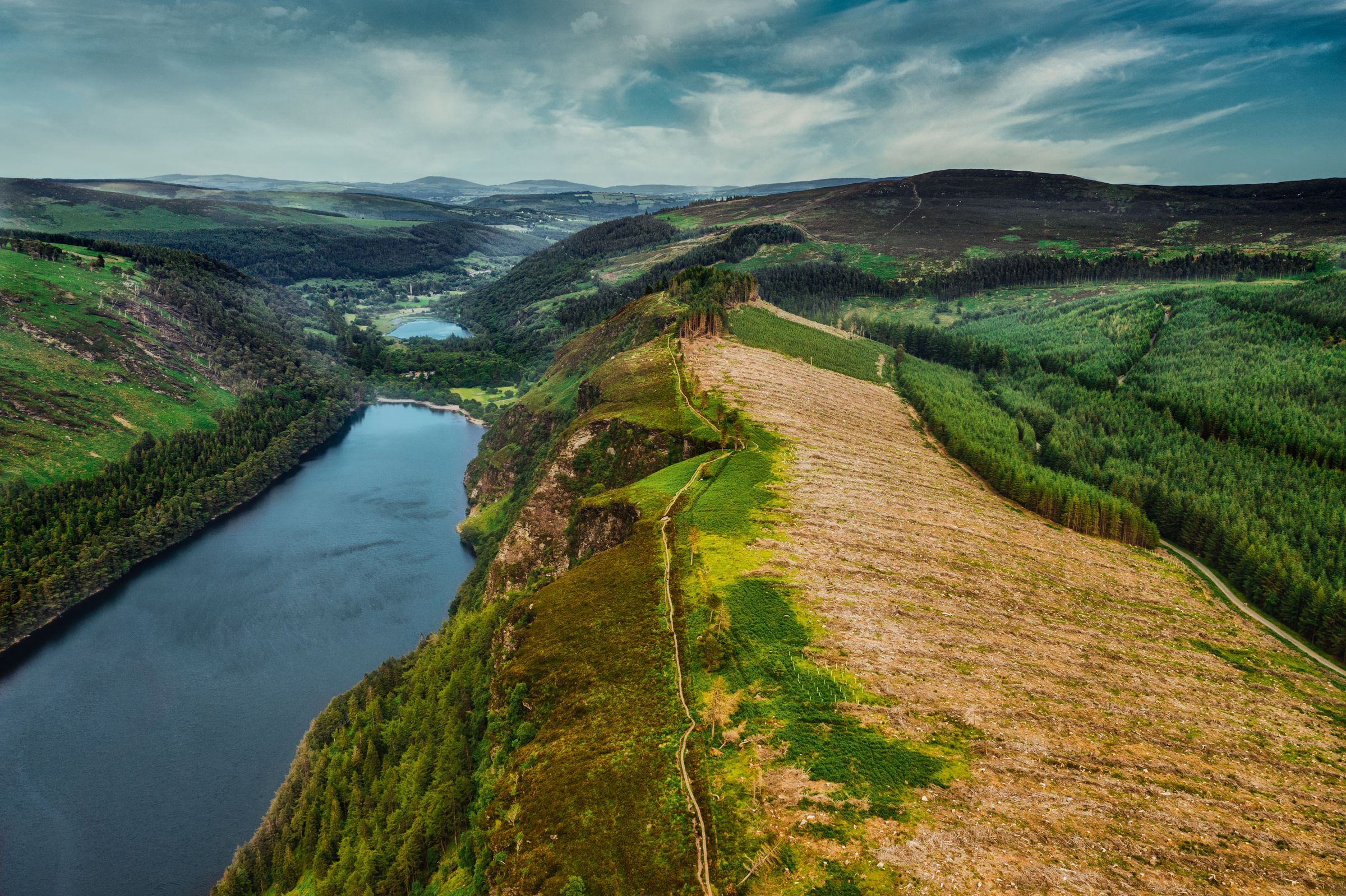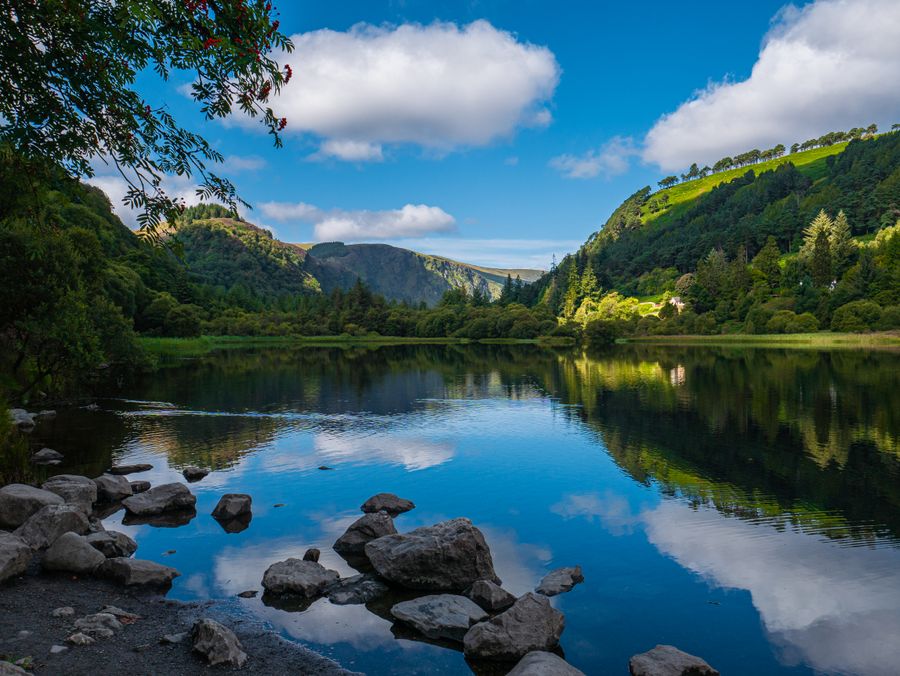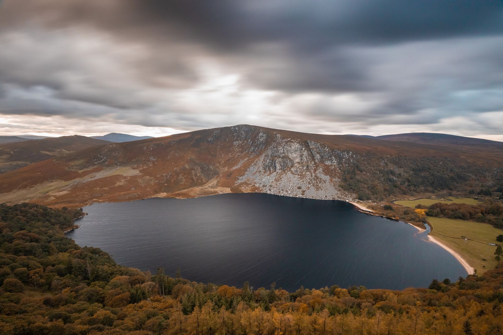
Lough Tay lies in a hollow below the military road that crosses the Wicklow Mountains, north of Glendalough and south of the Sally Gap. The water is dark, the sand at the northern end is pale, and the ground rises steeply on both sides.
The lake itself
Lough Tay sits in a steep-sided valley formed by glacial action, and the dark colour of the water comes from peat washed down off the surrounding bog. The pale beach at the northern end is sand that was brought in, not a natural strand, and it stands out sharply against the water.
The lake is on private estate land. The water and the shore are not open to the public, and the beach cannot be reached on foot. What you see from the road is the view, and it is a good one.
The shape of the ground means the lake is often in shadow while the hills above are in sun. Cloud moving over the tops changes the colour of the water through the day, from near black to a grey-brown.
The road viewpoint
The military road between the Sally Gap and Laragh passes above the lake, and there is a widened area where cars pull in. From there the whole length of Lough Tay is visible below, with the beach at the far end and the hills rising behind.
This is a working road, narrow in places and used by forestry and farm traffic. Park only in the marked pull-in, keep clear of gates, and do not stop on the carriageway itself.
The viewpoint is free and open at all hours. In poor weather the cloud can come down quickly and close off the view entirely, so a clear forecast is worth waiting for.
Check the forecast with Met Éireann before setting out; cloud can cover the Sally Gap road with little warning.
Walking around it
There is no public path around the shore of Lough Tay. The land between the road and the water is private, and walking down to the lake is not permitted. Walks in the area follow the open hillside and the roads instead.
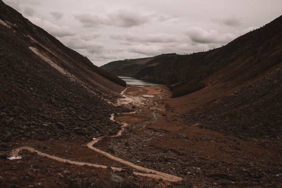
The Wicklow Way passes through this part of the mountains, and sections of it can be joined near Laragh and Glendalough. These are waymarked trails across open ground, and the going is rough in places.
The military road itself is used by cyclists and walkers as well as cars. Where there is no verge, walk facing the traffic and step off the road when vehicles pass. Distances on the hills are longer than they look on a map.
Mountain weather changes fast; check conditions with Met Éireann and carry a paper map, as phone signal is patchy.
The Sally Gap
North of Lough Tay the road climbs to the Sally Gap, a pass where two military roads meet. The ground here is open bog and heather, with wide views in every direction and very little shelter.
The road through the gap runs between Roundwood and Manor Kilbride, and it is one of the higher public roads in the Wicklow Mountains. In winter it can be affected by ice and snow, and closures are possible.
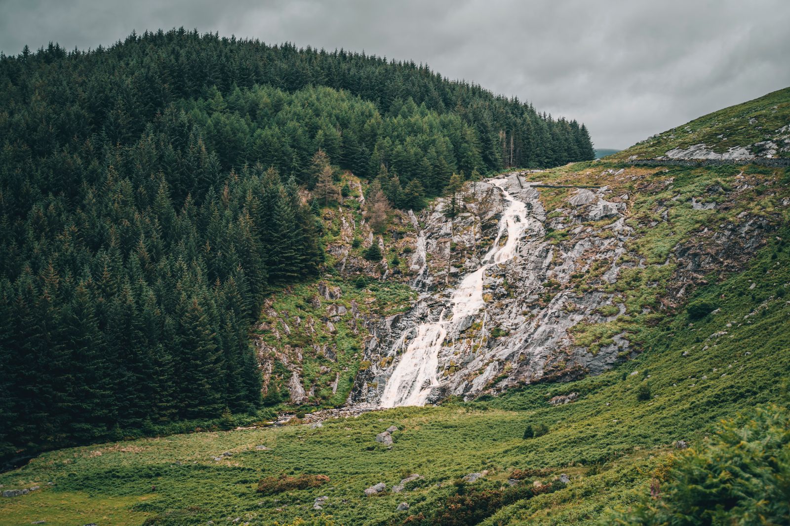
The Glenmacnass waterfall lies south of the lake on the same road, where the Glenmacnass river drops over a rock shelf. There is a parking area at the road, and the fall is a short walk from it.
Glendalough nearby
Glendalough, the monastic valley to the south, is a short drive from Lough Tay and the obvious companion visit. The round tower and the stone churches of the monastic city stand in the valley floor, with two lakes beyond them.
The monastic site is cared for by the Office of Public Works, and there is a visitor centre with displays on the history of the valley. Walks run from the valley up to the upper lake and on to the surrounding ridges.
The Wicklow Mountains National Park covers much of the ground around Glendalough, and its information point in the valley has details of waymarked routes. Some paths are rough and some are steep, and the upland sections should not be attempted in poor visibility.
Opening times at Glendalough change with the season; check the Office of Public Works (Heritage Ireland) before travelling.
Bog and hillside
The land around Lough Tay is blanket bog and heather, with patches of conifer forestry on the lower slopes. This is good ground for watching birds of prey, and red kites and buzzards are seen over the open hills.
The Wicklow Mountains are also home to deer, which graze on the hillsides and are most often seen early and late in the day. The forestry plantations and the open bog meet along the road, and the edge between them is where most wildlife is seen.
The lake itself holds brown trout, and the surrounding streams run off the high ground. Access to the water is closed, so fishing is not possible from the road side.
Getting there and bases
Lough Tay is reached by road. From Dublin the usual route runs through Roundwood and on towards the Sally Gap, or south through Laragh and Glendalough and then north up the military road. There is no train or bus service to the viewpoint.
Roundwood is the nearest village, with a small choice of places to stay and eat. Laragh and Glendalough, a little further south, have more accommodation and are well placed for both the lake and the monastic site.
Further out, Bray and Greystones on the coast have rail links to Dublin and a wider range of places to stay, though the drive to the lake is longer. Enniskerry, at the northern end of the mountains, is another option.
Buses run to Glendalough and Roundwood from Dublin; check Transport for Ireland and Bus Éireann for current timetables.
Practical points
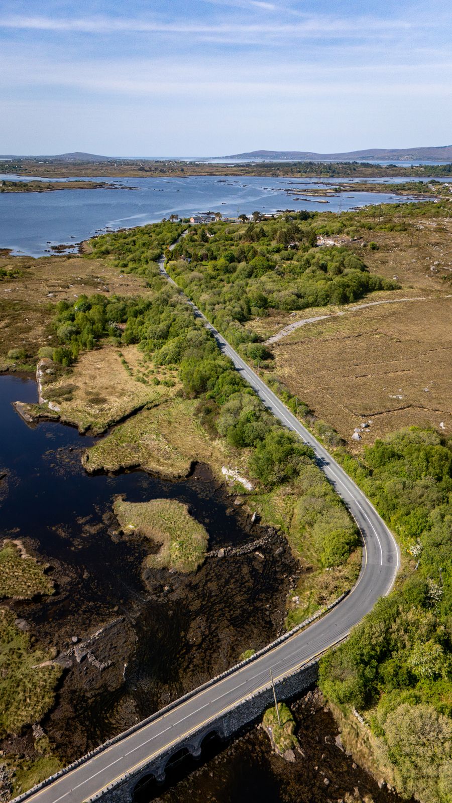
The road above the lake is narrow and unlit, and it carries traffic in both directions. Drive on the left, take the bends slowly, and expect sheep on the road in places, particularly around the open bog.
There are no facilities at the viewpoint: no toilets, no café and no shelter. The nearest services are in Roundwood, Laragh and Glendalough. Bring water and waterproof clothing, and take litter away with you.
The area is popular in fine weather and the pull-in fills quickly. Early morning and late afternoon are quieter. In winter, ice and low cloud can make the road unsafe, and the Sally Gap route may be closed.