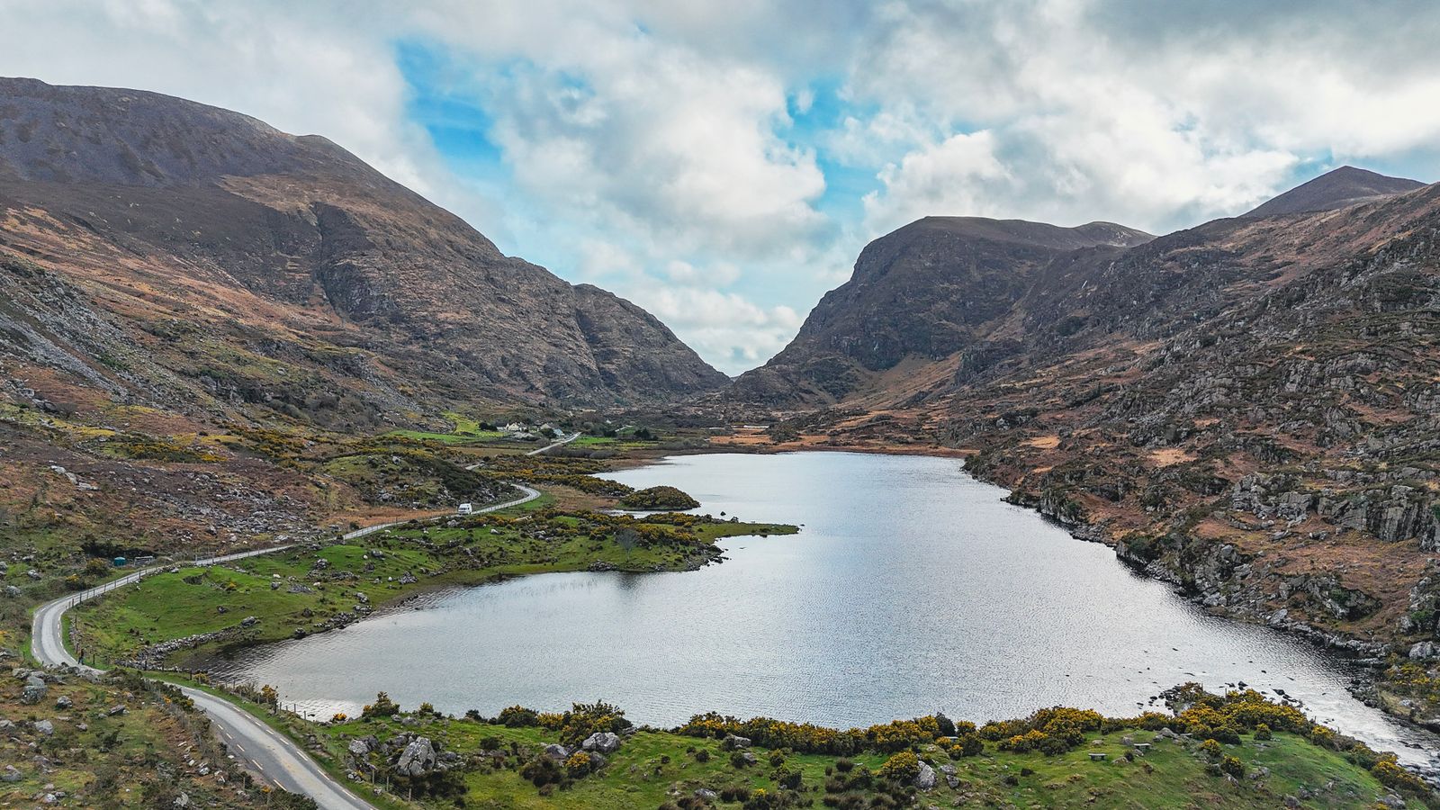
The Gap of Dunloe is a rocky pass in County Kerry, running roughly north to south between the Reeks and Purple Mountain. Most people reach it on foot or by bicycle from Killarney, following a narrow road that climbs past a chain of small lakes.
The shape of the pass
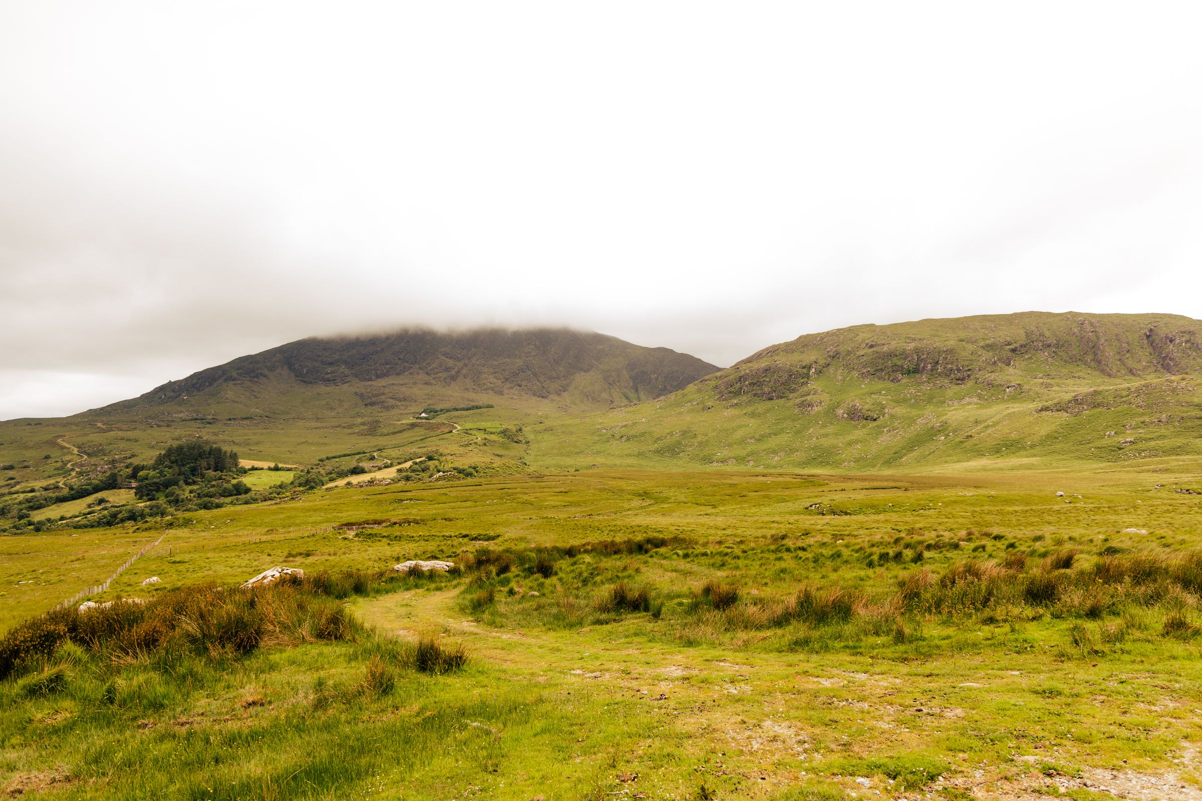
The pass runs for several kilometres between two mountain masses. MacGillycuddy's Reeks, the higher ground that holds Carrauntoohil, rises on the western side. Purple Mountain and its neighbours stand to the east. The road threads the floor of the valley between them.
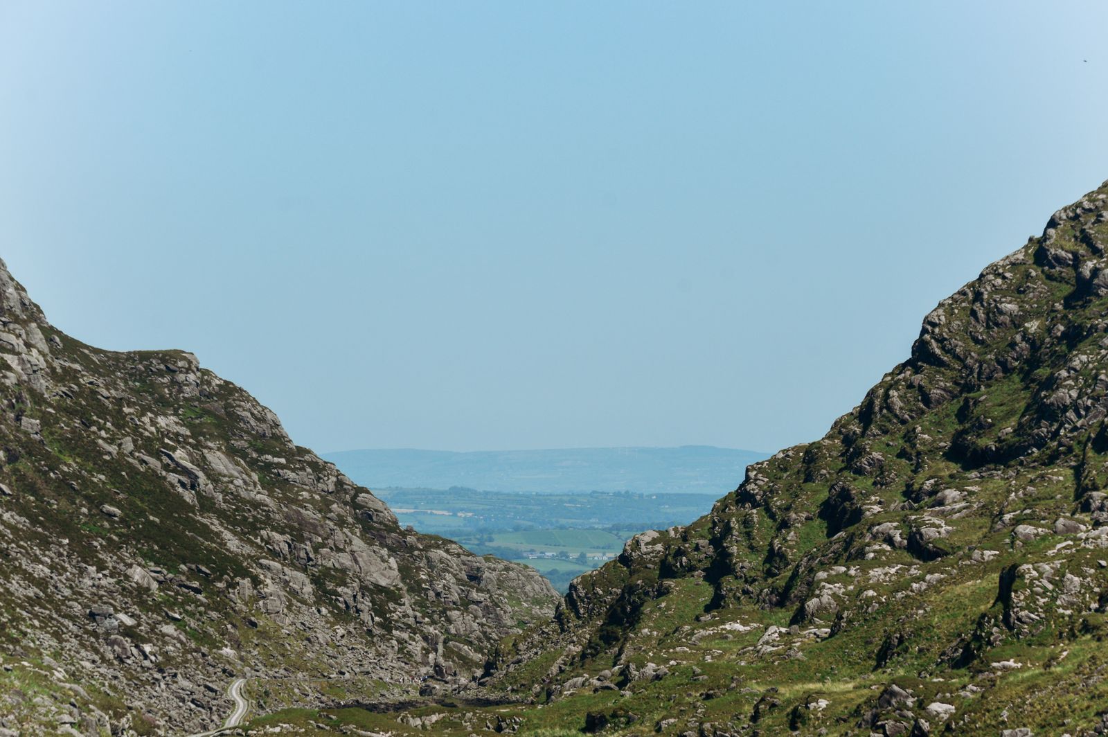
Glaciers cut the valley during the last ice age, and the marks are still readable in the rock. The sides are steep and close, so the pass feels narrower than its width on a map. In places the road is barely wide enough for a car and a walker to pass.
The valley floor is scattered with boulders and outcrops of rock. Heather, gorse and rough grass cover the slopes, with native woodland in patches lower down. Sheep graze the open ground and wander onto the road without warning.
Walking the pass
The usual walk starts at Kate Kearney's Cottage, a well known meeting point at the northern end of the pass, and follows the road south to the head of the valley. From there the road continues down towards the Black Valley and Lord Brandon's Cottage.
The climb is gentle for most of the way, with a short steeper section near the middle. The full walk to Lord Brandon's Cottage takes a few hours at an easy pace. Many people turn back at the top of the pass, which gives a shorter outing of a couple of hours.
The road carries traffic, including horse-drawn traps and cars, so walk on the left and keep alert on bends. There is no footpath. Walking poles help on the loose surface, and boots are better than trainers after rain.
Check the weather with Met Éireann before setting out, and tell someone your route if walking the full length.
Cycling through
Cycling is a good way to cover the pass without the full walk. Bicycles can be hired in Killarney, and the ride out to the pass and back is a half day for most people. The gradient is manageable, though the surface is rough in places.
The narrow road means cyclists should ride in single file and give way on blind bends. Traffic includes cars, minibuses and horse traps, and the traps move slowly. Descending needs care, particularly after rain when the surface is slick.
Some people ride the pass and then continue into the Black Valley, which adds distance and climbing. Others leave the bike at the top and walk a stretch. Either way, plan the return before setting off, as the valley has no facilities.
The lakes along the way
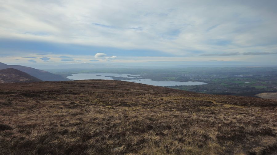
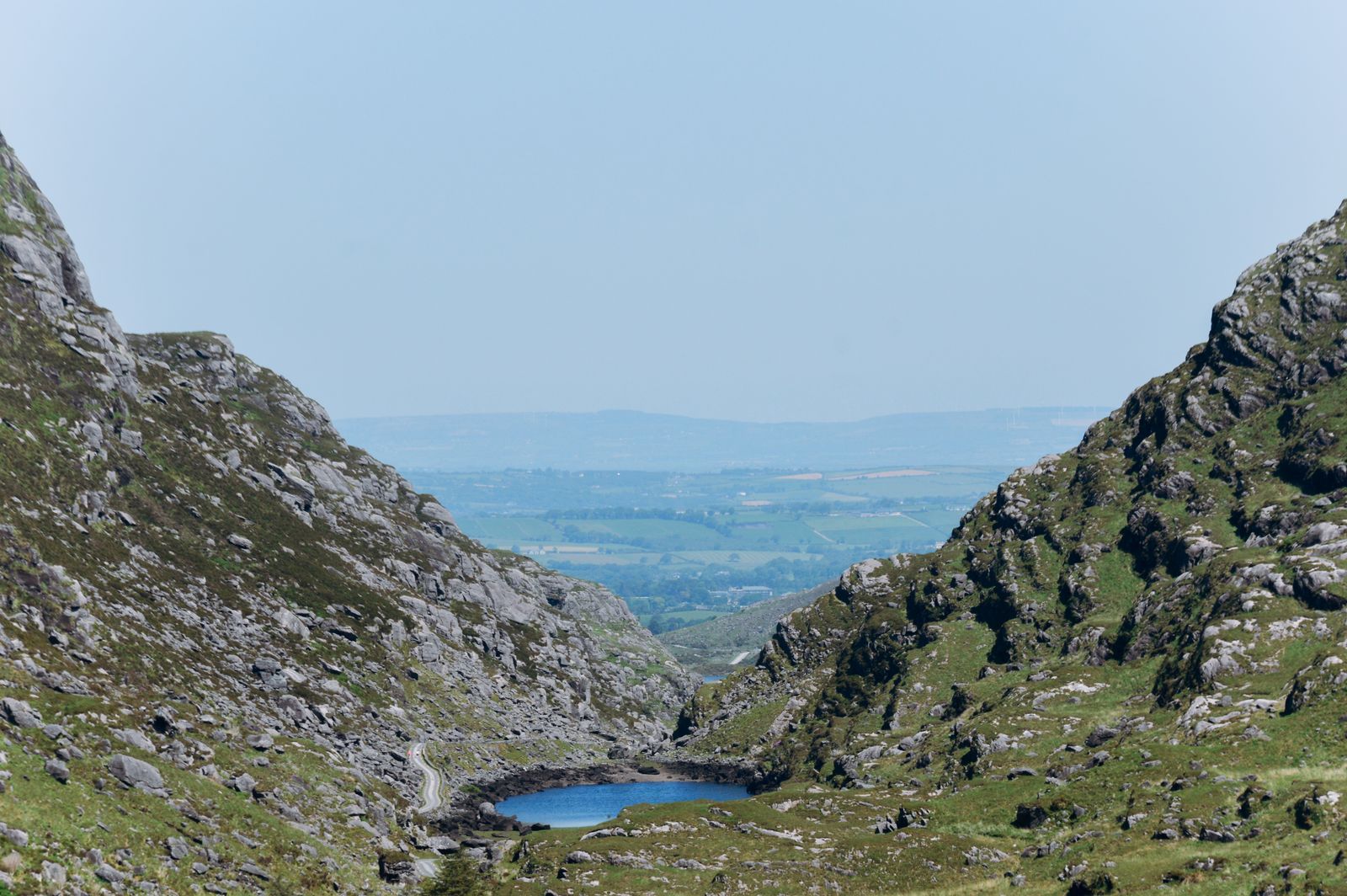
A series of small lakes lies along the floor of the pass, linked by a stream that runs north towards the Laune. Each has its own name and character, and the water reflects the slopes above when the wind drops.
The lakes are shallow and cold, fed by rain off the mountains. They are not swimming spots in any reliable sense, though people do paddle at the edges on warm days. The ground around them is boggy after wet weather.
The stream and lakes support trout, and anglers fish parts of the system in season. Permits are needed and are arranged through angling clubs. Check locally before fishing, as rules vary along the water.
Wildlife and plants
The pass sits within the Killarney area, which is known for its native woodland and its red deer. Deer are often seen on the slopes and sometimes on the road at dawn and dusk. Drivers should slow down accordingly.
The open ground supports heather, bilberry and mosses, with ferns in the damper gullies. Woodland lower down holds oak, holly and rowan. Birds include ravens, kestrels and, in the wooded parts, small woodland species.
The wider area is part of Killarney National Park, managed by the National Parks and Wildlife Service. The park has its own rules on access and on dogs, and these apply to the land around the pass. Check the NPWS guidance before bringing a dog.
Getting there
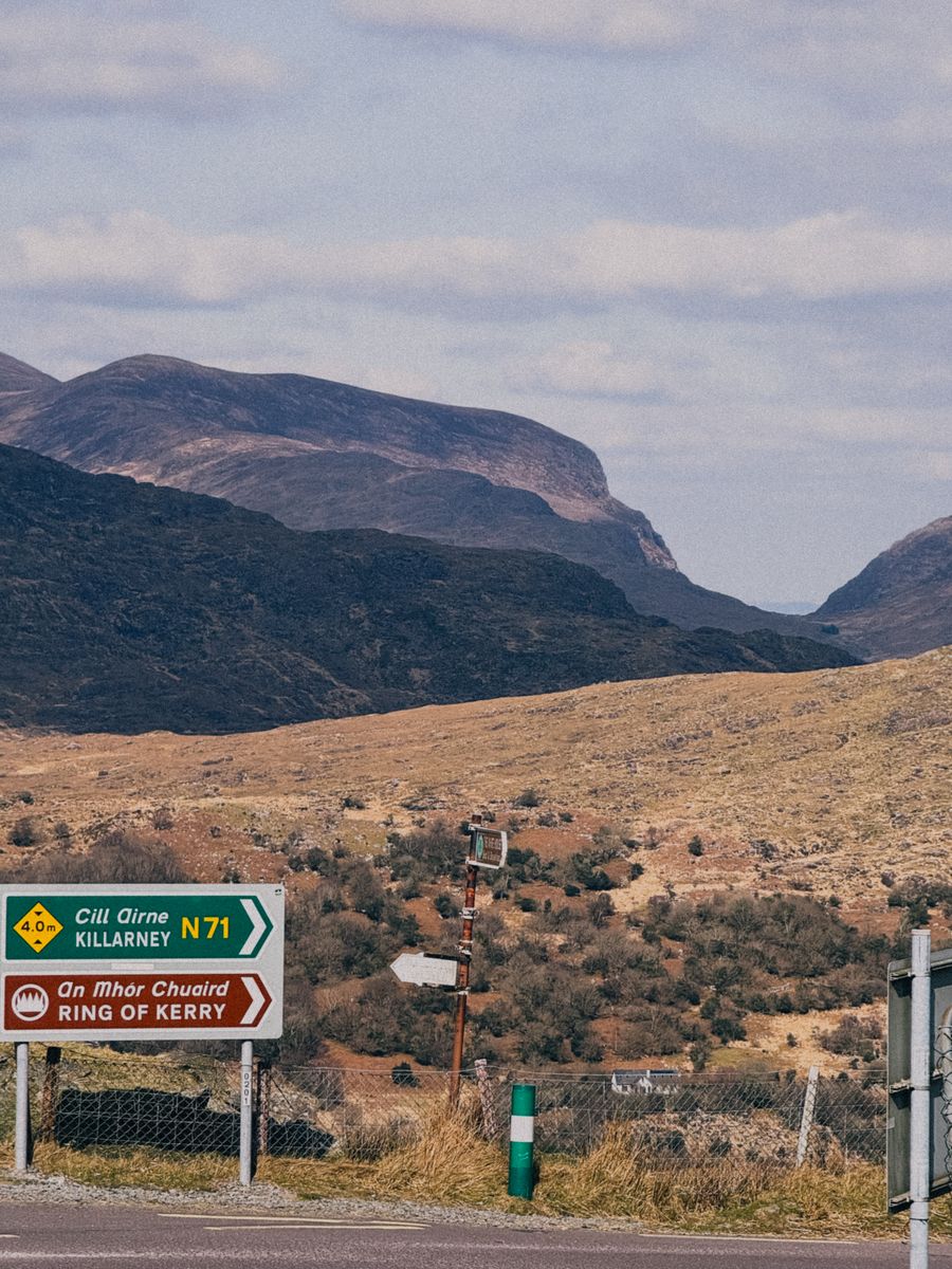
The pass lies a short drive west of Killarney, and the road in from that side is the usual approach. Killarney is the natural base, with the widest choice of places to stay and the easiest access to the pass and the national park.
Kenmare, to the south, is another option, reached over the mountains by a separate road. It suits people combining the pass with the Ring of Kerry. Killorglin, to the north, is smaller but close to the northern approach.
Public transport to the pass itself is limited. Buses run to Killarney from Tralee and Cork, and local services cover nearby villages. For the last stretch, a bike or a car is the practical choice. Check with Bus Éireann and TFI Local Link for current times.
Timetables change through the year. Confirm times with Bus Éireann or TFI Local Link before relying on a bus.
Nearby and onward
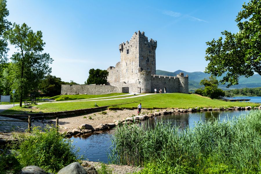
Killarney National Park lies next to the town and holds Muckross House, its gardens and the wooded shores of the lakes. These make an easy half day before or after the pass, and the park is free to walk.
The Ring of Kerry loops the Iveragh Peninsula from Killarney, taking in Kenmare, Sneem and the coast. The pass is often fitted into that circuit, though it deserves its own visit. Allow time rather than treating it as a detour.
Further west, the Dingle Peninsula and its Slea Head Drive offer another day of mountain and coast. To the east, Cork and its hinterland are within reach for a longer trip. Each works as a separate base rather than a day trip from Killarney.