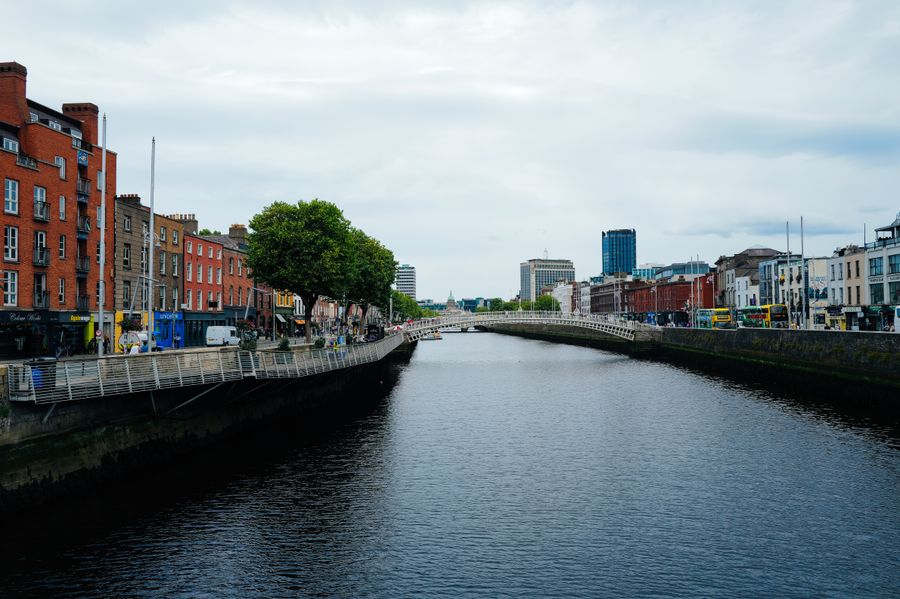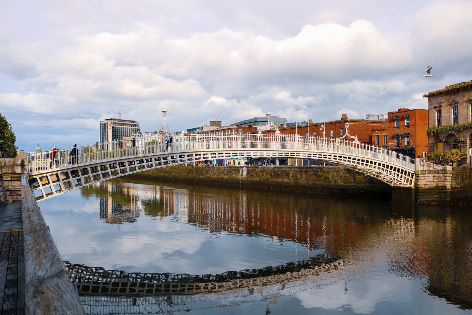
The Ha'penny Bridge is a pedestrian bridge across the River Liffey in central Dublin, linking Liffey Street on the north side with Temple Bar on the south. It was opened in 1816 and takes its nickname from the toll once charged to cross it.
Crossing the bridge
The bridge is for pedestrians only and takes a minute or two to walk across. Its single arch spans the Liffey between the north and south quays, with railings along both sides and lamps on the parapets. The deck is narrow, so it fills quickly when a crowd arrives.
Crossings run in both directions at all hours. There is no charge to walk over it now, and no gate or barrier. The surface can be slick in rain, and the wind funnels along the river, so hold onto hats and loose items on a blustery day.
The bridge sits at the heart of the city, a short walk from O'Connell Bridge, the Millennium Bridge and the Custom House downstream. It is a working crossing rather than a monument, and commuters use it through the day alongside visitors stopping for photographs.
A toll bridge
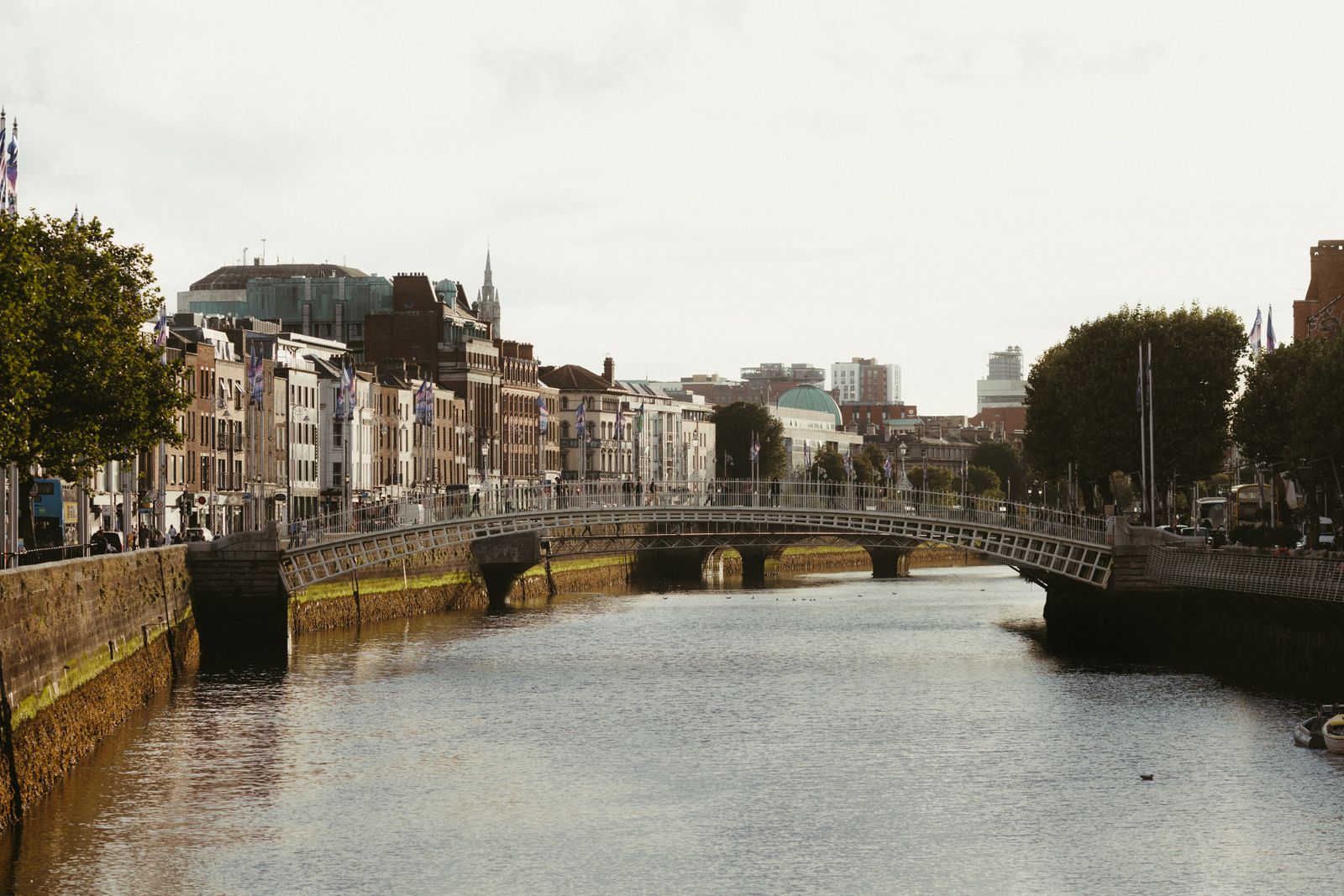
Before the bridge was built, ferries carried people across the Liffey at this point, and the crossing had a poor reputation. A local authority body, the Wide Streets Commission, arranged for a cast-iron footbridge to be designed and erected, and it opened in 1816.
A toll of a halfpenny was charged to cross, which gave the bridge the name most people use. The toll was later dropped, and the crossing became free. The ironwork was made in Shropshire in England and shipped to Dublin for assembly.
The bridge has been repaired and restored more than once, including a period of closure for refurbishment in the early 2000s. It remains in use as a footbridge, and its white painted ironwork is one of the familiar sights of the central quays.
The bridge is busiest at commuting times and at weekends. Early morning gives the clearest views along the river.
Temple Bar and the south quay
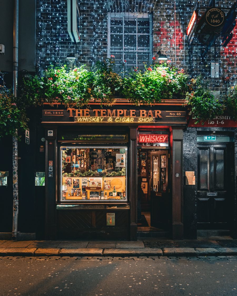
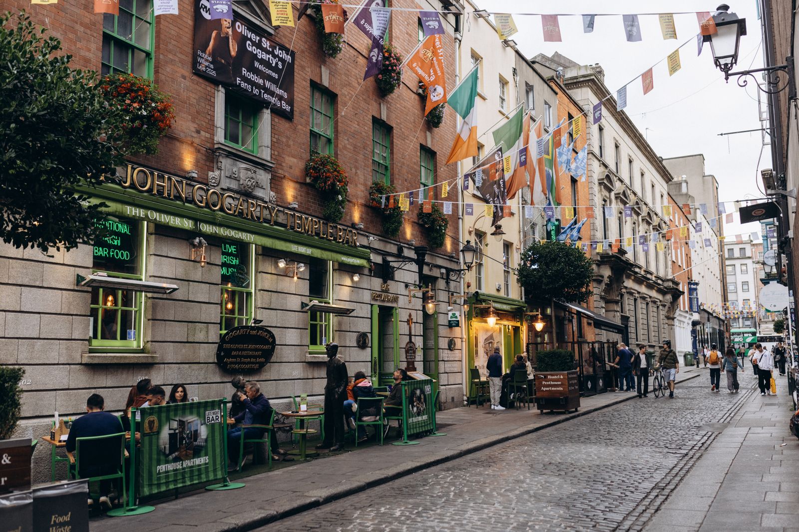
The south end of the bridge lands at Temple Bar, a district of cobbled streets given over to pubs, restaurants and galleries. It is lively in the evenings and busy with visitors through the year. The streets here are narrow and pedestrianised in places.
Temple Bar is also a cultural quarter, with the Irish Film Institute, the Project Arts Centre and several small galleries in the side streets. Meetinghouse Lane and Eustace Street run inland towards Dublin Castle and City Hall.
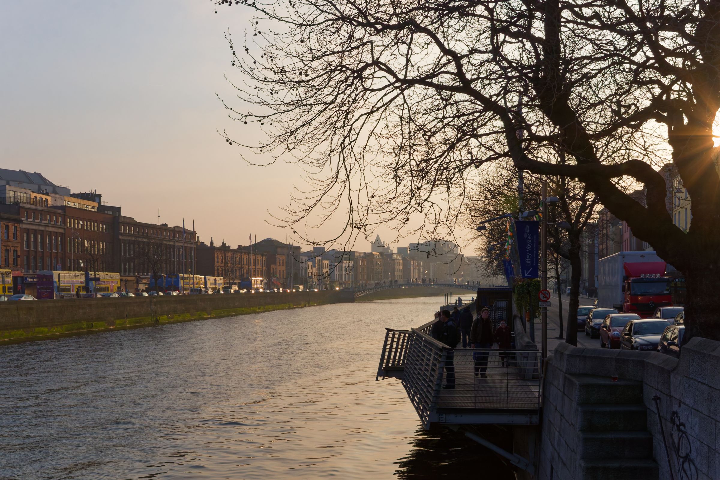
The south quays run east and west along the river, with views back to the bridge and downstream towards the Custom House. Walking east along the quay brings you to O'Connell Bridge and, further on, to the docklands.
The north side
On the north bank, the bridge meets Liffey Street Lower, which runs up towards Henry Street and the shopping district around Mary Street. This is a busy retail area with department stores, arcades and cafés.
Nearby, Capel Street runs north from the quays and is known for its restaurants, bars and independent shops. It has been partly pedestrianised in recent years. Parnell Street, further north, has a concentration of Asian restaurants and food shops.
The north quays here are close to the Garden of Remembrance and the Hugh Lane Gallery at Parnell Square, both a short walk inland. The James Joyce Centre on North Great George's Street is also within easy reach on foot.
Check the Transport for Ireland journey planner before setting out; central Dublin buses and the Luas change routes from time to time.
Along the Liffey
The Liffey divides the city centre into north and south, and a walk along either quay passes a sequence of bridges. Upstream from the Ha'penny Bridge are the Millennium Bridge, Grattan Bridge and O'Donovan Rossa Bridge, each different in style and date.
Downstream, O'Connell Bridge carries road traffic, and beyond it the river widens towards the Custom House and the docklands. The lines of the bridges and the river walls make a straightforward walking route through the middle of the city.
The quays are exposed, with little shelter from wind or rain. Benches face the water in places, and the walls are low enough to see the river clearly. The river rises and falls with the tide, and the water level changes noticeably through the day.
Nearby sights
Dublin Castle, City Hall and Christ Church Cathedral are a short walk south of the bridge through Temple Bar. Trinity College and its Book of Kells exhibition lie east along the river, past O'Connell Bridge.
The General Post Office on O'Connell Street, with its columns and historic interior, is a few minutes north. The GPO is run by the Office of Public Works and holds an exhibition on the 1916 Rising.
The National Gallery of Ireland, the National Museum of Ireland and the Hugh Lane Gallery are all within walking distance, though each takes time to see properly. Many of these sites are free to enter, while some exhibitions are ticketed.
Opening hours at museums and heritage sites change with the season. Check the Office of Public Works or the individual institution before you go.
Where to base yourself
Central Dublin makes the obvious base for visiting the bridge, with the north quays and Temple Bar both within a few minutes on foot. The streets around O'Connell Street, Dame Street and the south quays all put the crossing within easy reach.
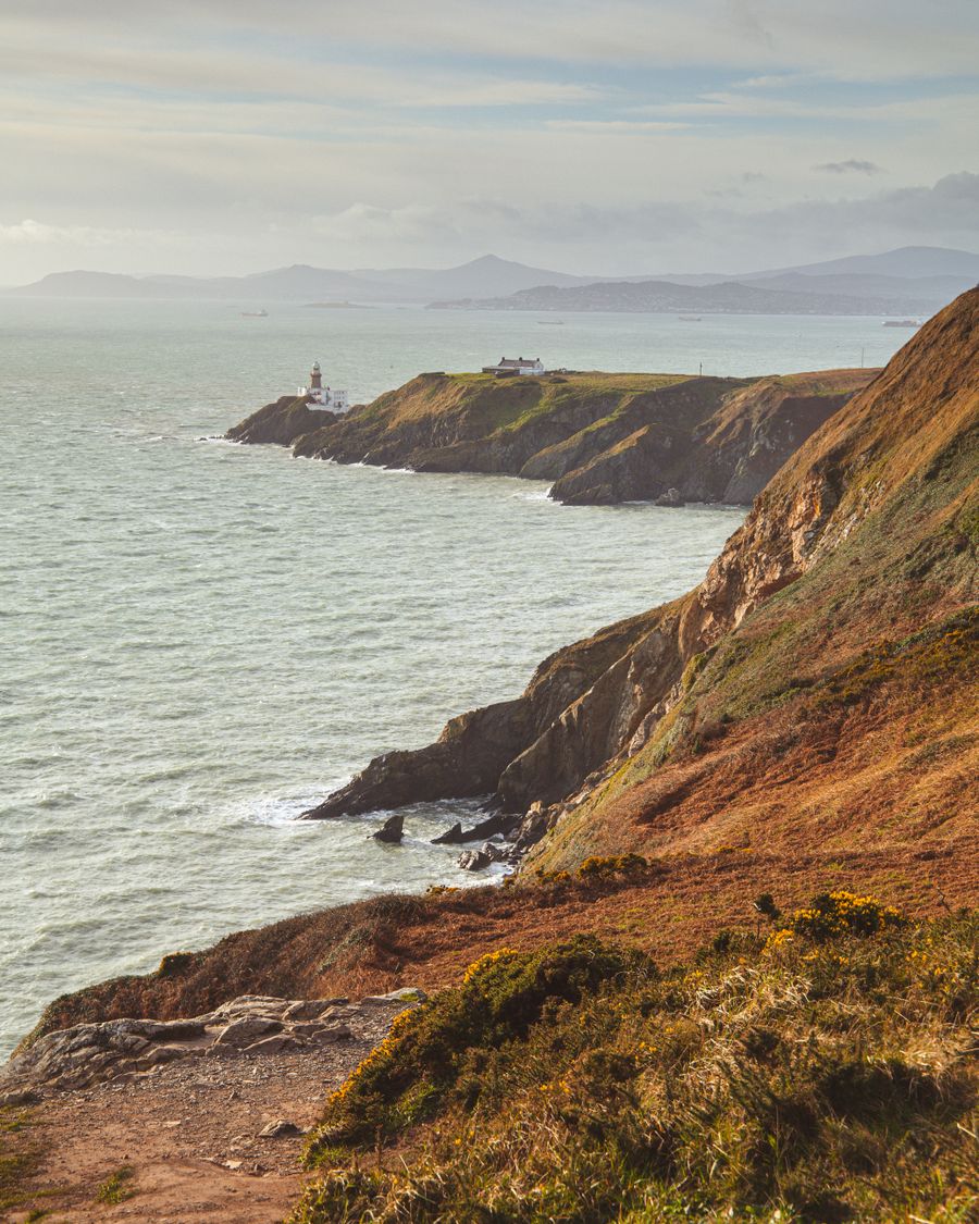
For a quieter stay, the areas around Merrion Square, Ballsbridge and the Grand Canal are still walkable to the centre and have their own restaurants and parks. The suburbs along the DART line, such as Howth, Malahide and Dún Laoghaire, offer coastal bases with a train into the city.
Beyond Dublin, Kilkenny, Waterford and the Wicklow Mountains are all reachable by road or rail for a day or a longer stay. Iarnród Éireann runs trains from Dublin to Kilkenny and Waterford, and the DART serves the coast north and south of the city.
Practical notes
Dublin Bus, the Luas trams and the DART coastal trains serve the city centre, and the Luas stops on both sides of the river near the bridge. Transport for Ireland has a journey planner covering all of these, and timetables change, so check before travelling.
The bridge is in the open air and can be visited at any time. There is no visitor centre, no ticket and no staffed entrance. Nearby cafés, pubs and shops in Temple Bar and on the north quays provide shelter and food.
Traffic drives on the left in both jurisdictions on the island. The bridge itself is pedestrian only, and the nearest taxi ranks and bus stops are on the adjoining quays.