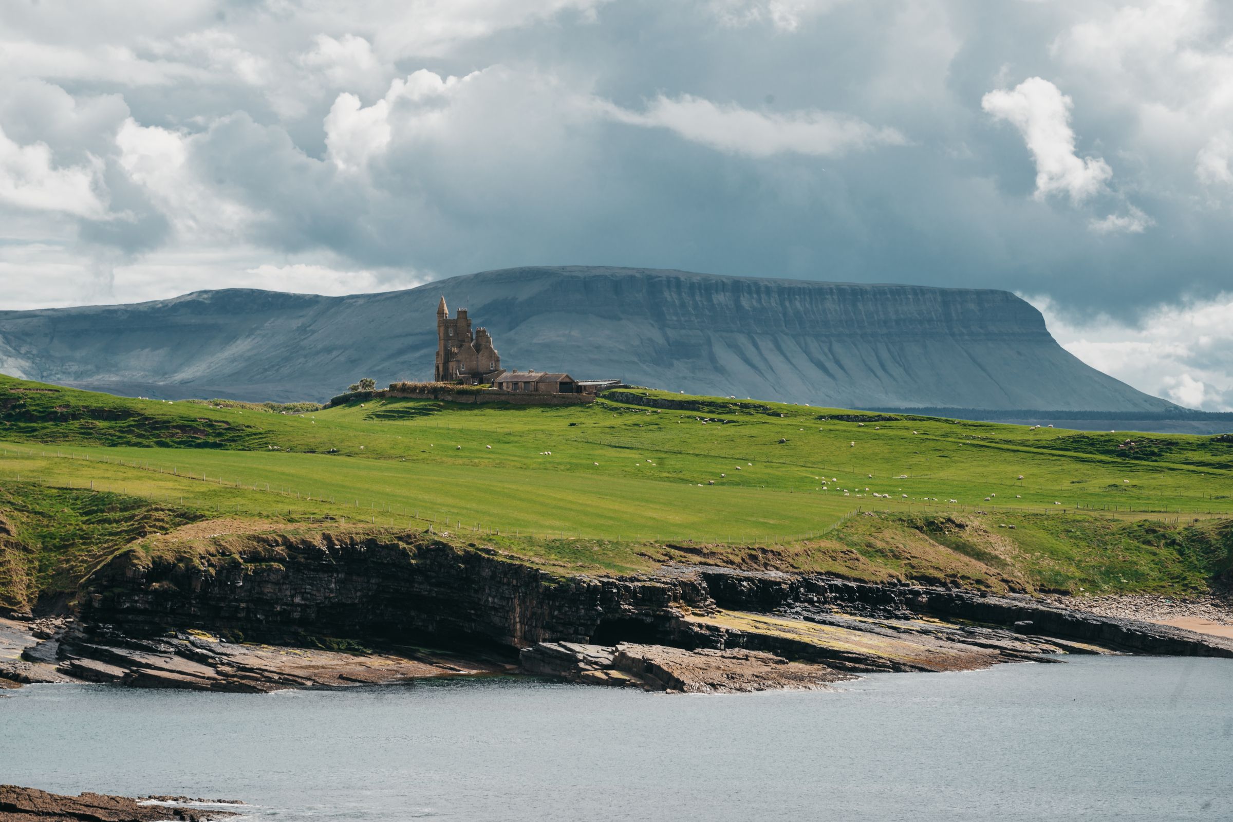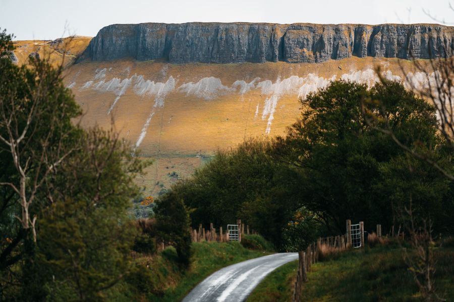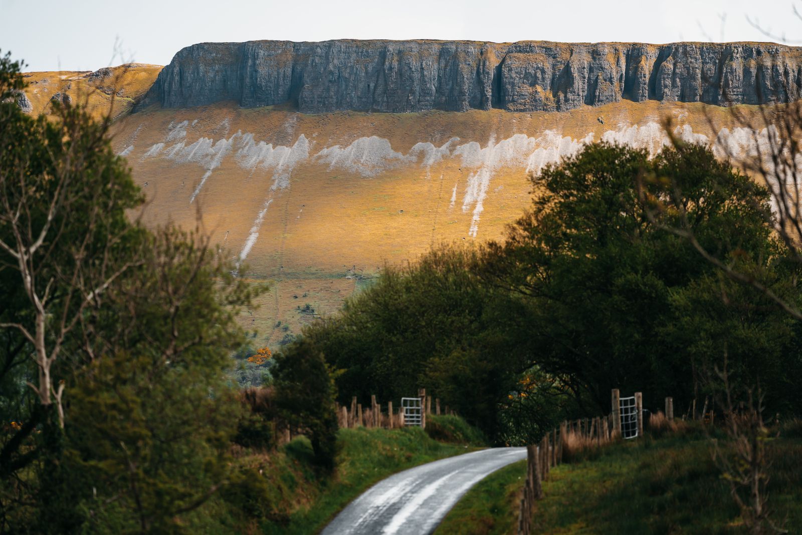
Benbulbin stands over the north Sligo coast, a long flat-topped mountain with a sheer northern face. It is the shape most people picture when they think of Yeats country. The forest walk at its foot is open to all; the summit is a hill walk for those with boots and a head for weather.
The shape of it
Benbulbin is a table mountain, a long ridge with a flat top and a steep face on its northern side. The shape comes from layers of limestone and shale laid down under an ancient sea, then lifted and worn back by ice and rain. The northern face is the dramatic side, dropping towards the coastal plain. The southern slopes are gentler and greener, falling towards Glencar.
From the roads around Grange and Drumcliff the mountain reads as a single long wall. From the south, near Glencar, it looks different again, a rounded shoulder rather than a cliff. The summit plateau is broad and uneven, with bog and rock, and it holds several small lakes.
The mountain is part of the Dartry range, which runs east towards Glenade. Benbulbin is the best known of the group because of its shape and its place in the poetry of W.B. Yeats, who grew up in Sligo and wrote about the mountain and the country around it.
The forest walk
A forest track runs along the northern foot of the mountain, starting from a car park off the road between Grange and Drumcliff. The walk is waymarked and stays on forestry roads and paths, climbing gently through conifers and open ground. It is free to walk and suits most abilities.
The route gives close views of the northern cliff face, which towers above the trees. Benches and open stretches allow stops. The ground can be soft after rain, and the track is uneven in places. Walking shoes are enough for the lower route; boots are better if you continue upwards.
The forest is working forestry, so felling and machinery can close sections from time to time. Signs at the car park give the current position. The walk is a good short outing in its own right, and a way to see the mountain without committing to the summit.
Forest tracks can close for felling. Check Coillte recreation notices before setting out, and wear boots after rain.
Going to the summit
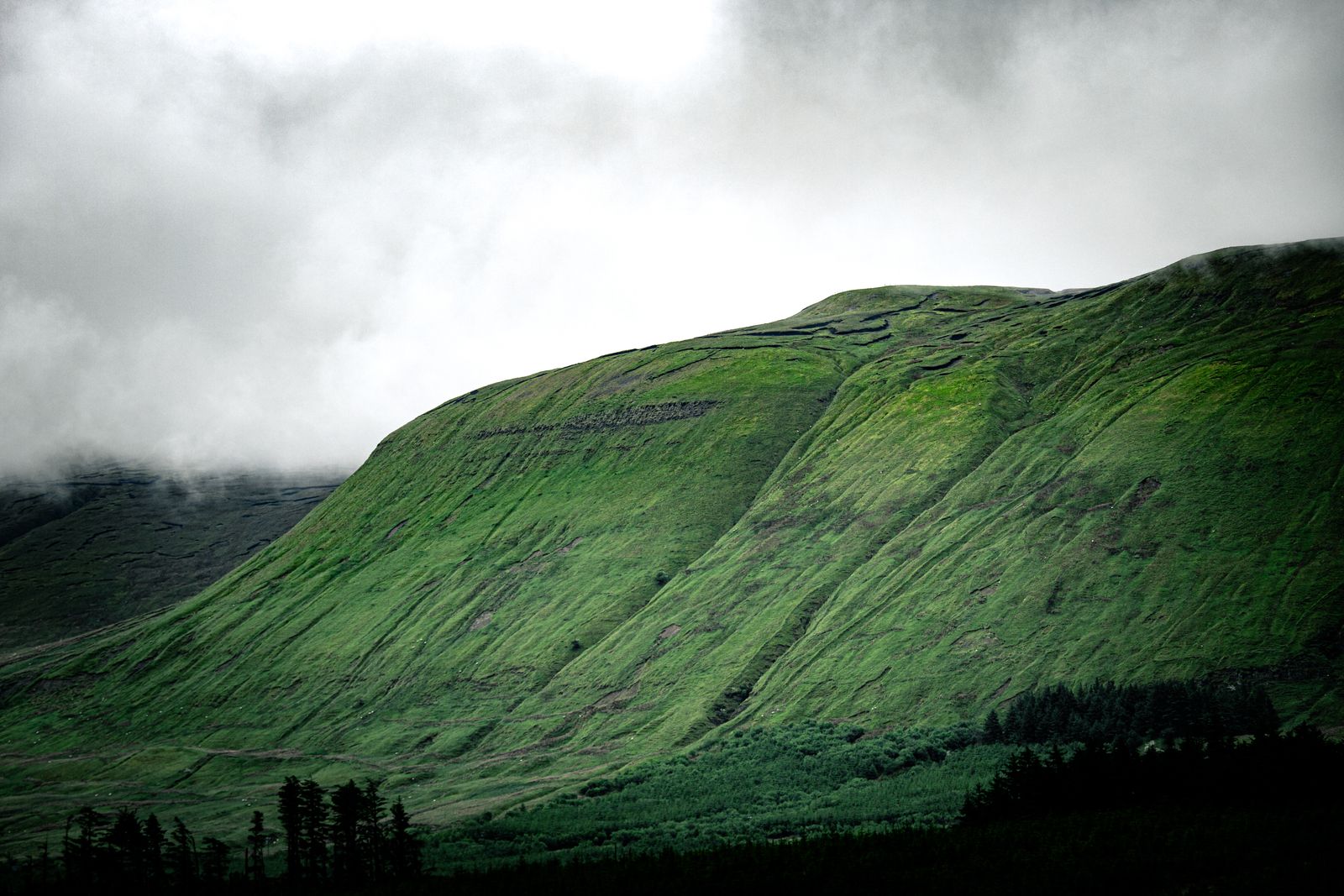
Routes to the top are not waymarked in the way lowland walks are, and the mountain is not a casual stroll. The usual approach follows the forest track and then open hillside onto the plateau. The ground is wet, peaty and pathless in places, and mist can close in quickly.
Navigation skills matter here. A map and compass, or a reliable phone app with offline maps, are needed in poor visibility. The plateau edge above the northern cliffs is unfenced, and the drop is serious. Keep well back from the rim, especially in wind.
Hillwalking clubs and guided groups run walks on Benbulbin through the year. Going with a guide is a sensible choice for a first visit, particularly in winter. Tell someone where you are going and when you expect to be back.
Mountain rescue is busy on this range. Leave a route plan with someone at home and carry a map and compass.
Weather and seasons
Benbulbin sits close to the Atlantic, and the weather changes fast. Rain is possible in every month, and the west of Ireland is wetter than the east. Cloud can sit on the plateau while the coast below is clear, and wind on the top is usually stronger than at the car park.
Summer brings long evenings, with daylight in Dublin running to about 17 hours around the June solstice. That gives plenty of time for an evening walk on the forest track. Winter days are short, with about 7.5 hours of daylight in late December, so plan summit walks for the morning.
The best conditions for the summit are a clear, calm day after a dry spell. After heavy rain the peat holds water and the ground is slippery. Met Éireann publishes forecasts and any weather warnings for the region; check them the evening before and again on the morning.
Yeats country
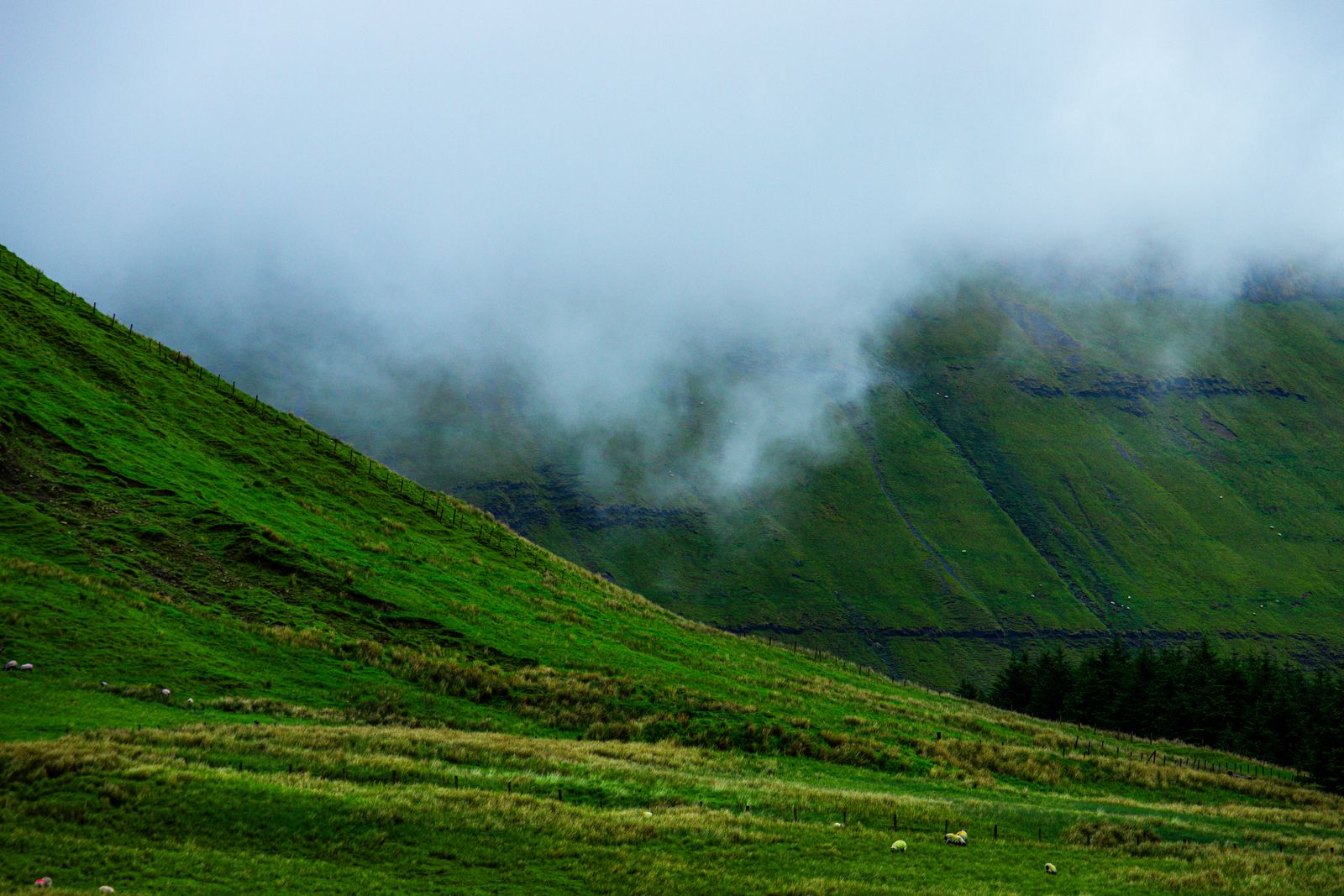
The mountain is closely associated with W.B. Yeats, whose poetry drew on Sligo landscapes. Benbulbin appears in his work, and the wider area around Drumcliff, Glencar and Sligo town is marketed as Yeats country. The connection brings visitors who might otherwise pass by.
Drumcliff, a few kilometres east, has a round tower, a high cross and the grave of Yeats. The churchyard is open to visit and is a quiet stop. Glencar, to the south, has a lake and a waterfall below the mountain's southern slopes.
Sligo town holds the Yeats Society and a museum devoted to the poet's life and work. Together with the mountain, these places make a loose trail for anyone interested in the writing. Allow a half day for the stops around Drumcliff and Glencar.
Around the mountain
Grange is the nearest village, on the coast road north of Benbulbin. It has a shop, places to eat and access to the beach at Streedagh, where dunes back a long strand. Streedagh is also known for the wrecks of ships from the Spanish Armada, marked by a memorial.
Drumcliff, to the east, sits under the mountain's eastern end and is a natural stop on the way from Sligo town. Glencar, to the south, is reached by a road that winds below the southern slopes and past the lake.
The coast road north from Grange leads to Mullaghmore and the cliffs at its head, with views across Donegal Bay. Sligo town, about 20 minutes by car from the forest car park, has the widest choice of places to stay and eat in the area.
The coast road north of Grange is narrow in places. Drive on the left and watch for walkers and cyclists.
Getting there
Benbulbin is best reached by car. From Sligo town, take the N15 north towards Grange and turn off for the forest car park below the mountain. From Donegal, the same road runs south. Car parking at the forest entrance is limited, and the car park fills on fine weekends.
Bus services along the Sligo to Grange corridor are limited, and the forest car park is not on a bus route. TFI Local Link and Bus Éireann run rural services in County Sligo; check timetables with the operators, as they change.
The nearest railway station is in Sligo town, served by Iarnród Éireann. From there a taxi or a lift is needed to reach the mountain. Cycling is possible on the main roads, though they carry fast traffic and are not suited to inexperienced riders.
Where to base yourself
Sligo town is the obvious base for Benbulbin. It has the widest range of accommodation, restaurants and transport links, and the mountain is a short drive north. It also puts Sligo's other sights within reach, including the lake at Glencar and the beaches to the west.
Grange and the villages along the north coast suit those who want to be close to the mountain and the sea. Drumcliff is small but well placed for the eastern end of the mountain and the Yeats connections. Mullaghmore, further north, is a quiet coastal base in summer.
For a longer stay, Sligo town works well as a hub for the wider northwest, including Donegal and the north Mayo coast. Book accommodation through the search on this page, which is set to the Sligo region, and check opening seasons with the providers directly.