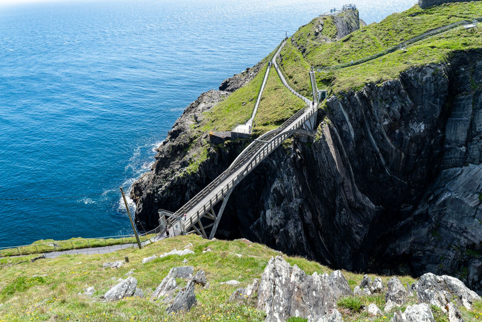
Mizen Head is the rocky tip of the Mizen Peninsula in West Cork, where the land runs out into the Atlantic. A footbridge crosses a gorge to a former signal station, and paths lead along the cliff tops. The nearest village is Goleen, a short drive away.
The signal station
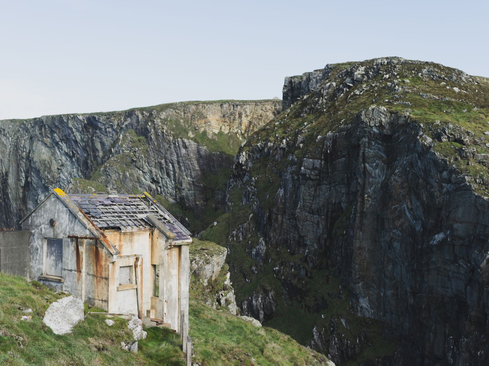
The signal station was built on a rock at the end of the headland, and the buildings are now open to visitors. The rooms hold displays on the history of the station and on the working of the coast, and there is a small café for a hot drink after the walk.
Entry to the signal station and the bridge is ticketed. Opening times change through the year, so check the official Mizen Head website for the date of your visit before setting out, and allow for shorter hours outside the summer season.
The walk from the car park to the station is short but has steps and slopes, and the surface is uneven in places. The bridge itself is narrow, and the crossing is not recommended in strong wind, when the gates may be closed for safety.
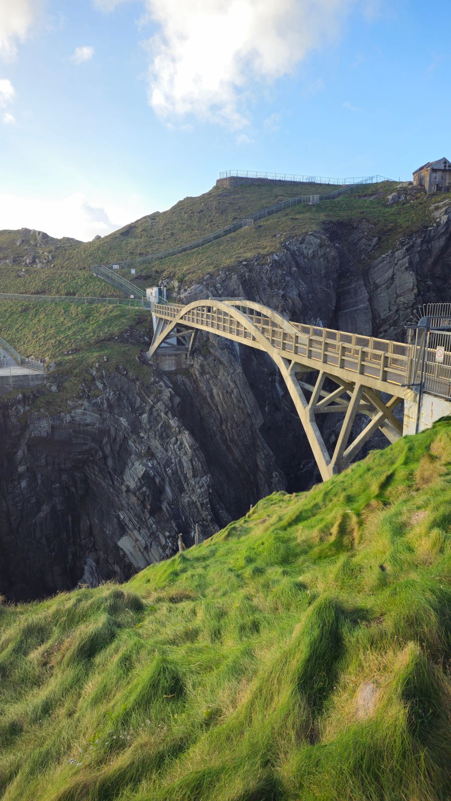
The footbridge over the gorge
The bridge spans a narrow gorge cut by the sea between the mainland and the rock that carries the station. Before it was built, the crossing was made by a rope and a series of steps, and the station was reached on foot by a long path around the headland.
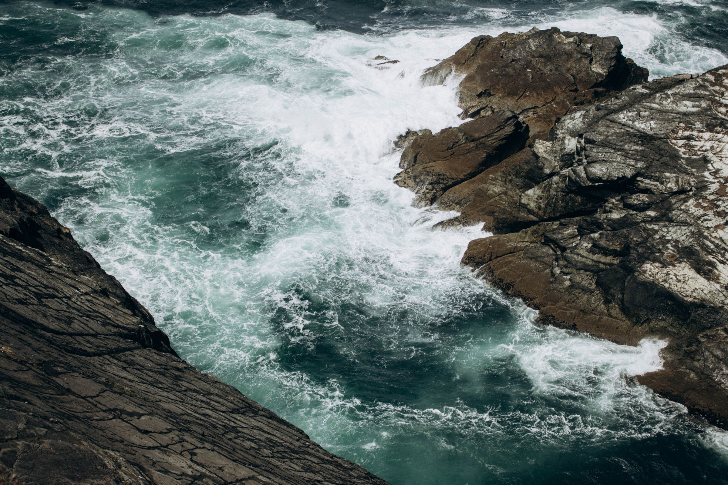
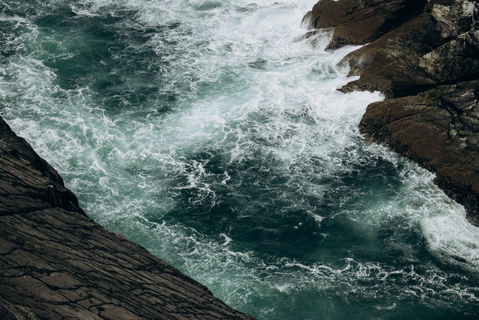
From the middle of the bridge there are views down into the gorge and out to the Atlantic. The water below is deep and the sides are steep, so keep to the bridge and the marked paths rather than the rocks at either end.
The bridge is the point most visitors remember. It is exposed, and the wind can be strong even on a calm day inland. A jacket and shoes with grip make the crossing more comfortable, and a camera is worth carrying.
Cliff paths and views
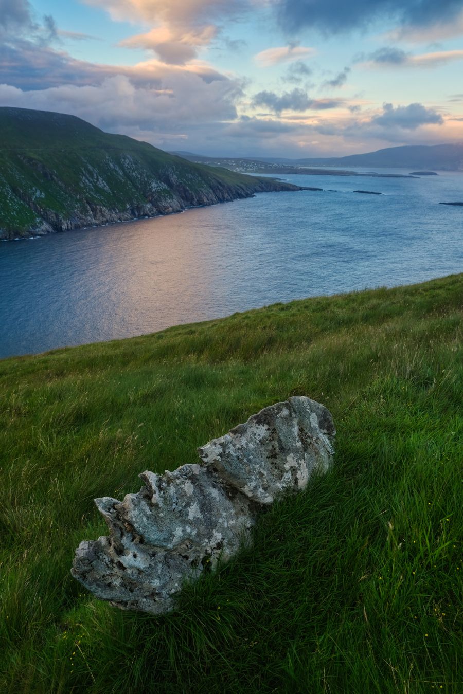
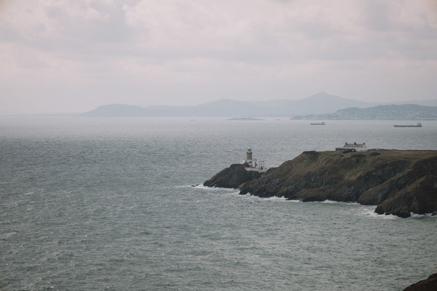
Paths run along the cliff tops on both sides of the bridge, with views north towards the Beara Peninsula and south and west out to sea. On a clear day the shape of the coast towards Dursey Island and the distant hills of Kerry can be made out.
The paths are unfenced in places and the ground is uneven, with loose stone and short grass. Stay back from the edge, particularly in wind, and keep children close. The cliff face is loose in places and the sea below is deep and cold.
Signs at the car park set out the routes and the distance to the station. The walking is not long, but the ground and the weather can make it slower than expected. Allow more time than the map suggests, especially with a group.
Check the weather forecast with Met Éireann before setting out, and ask at the signal station about path conditions on the day.
Seabirds and sea life
The cliffs and the water below are good places to watch seabirds. Gulls, cormorants and other coastal birds are common, and the headland is a known point for watching migration in spring and autumn, when birds pass along the coast in numbers.
Seals are often seen in the water and on the rocks below the station. Basking sharks have been recorded off the West Cork coast in the warmer months, and whales and dolphins are seen offshore from the headlands and from boats working out of the harbours.
Puffins nest on Atlantic islands and cliffs in the region from late spring into midsummer. Dates vary with the season, so check with BirdWatch Ireland before planning a trip around them, and keep a distance from any nesting birds.
Getting to Mizen Head
Mizen Head is reached by road from Bantry or Skibbereen, following the signs through the villages of the Mizen Peninsula. The final approach is on narrow lanes, and passing places are used to let oncoming traffic through, so allow time for the last few kilometres.
Public transport to the headland is limited. Buses run to Schull and Goleen, but the last stretch to the car park is usually made by car, bicycle or on foot. Check with Bus Éireann and TFI Local Link for current routes and times, as timetables change.
There is a car park at the headland, and a charge applies. In summer the car park can fill in the middle of the day, so an early or late arrival is easier. The road is not suitable for large vehicles in places, and turning space is tight.
Where to base yourself
The booking search on this page is set to West Cork, and the villages of the Mizen Peninsula make a quiet base. Schull and Ballydehob have places to stay and to eat, and both are within easy reach of the headland for a day out.
Skibbereen is the largest town in the area, with shops and services, and works well for a longer stay. Bantry, at the head of the bay, is another option and gives access to the Beara Peninsula as well as the Mizen, so the two can be combined.
Goleen is the nearest village to Mizen Head, with a small choice of places to stay. Staying close means an early start for the headland, before the day visitors arrive, and quieter evenings on the peninsula, with the sea a short walk away.
Book accommodation in West Cork well ahead for July and August, when the peninsula is busiest and rooms are scarce.
Elsewhere on the peninsula
The Mizen Peninsula has beaches, coves and small harbours along its length. The strand at Barleycove, west of Goleen, is a broad sandy beach backed by dunes, and there are smaller coves on the south side where the water is calmer on a fine day.
The village of Crookhaven looks across the water to the harbour mouth, and the road continues to Brow Head, a short walk from a car park. The views from Brow Head take in the headland and the sea to the south, and the old signal tower above the rocks.
Mizen Head is a stop on the Wild Atlantic Way, the signed coastal route that runs from Donegal to Kinsale. The route is a good way to plan a drive along this coast, with the headland as one of its southern points and the roads quiet outside summer.