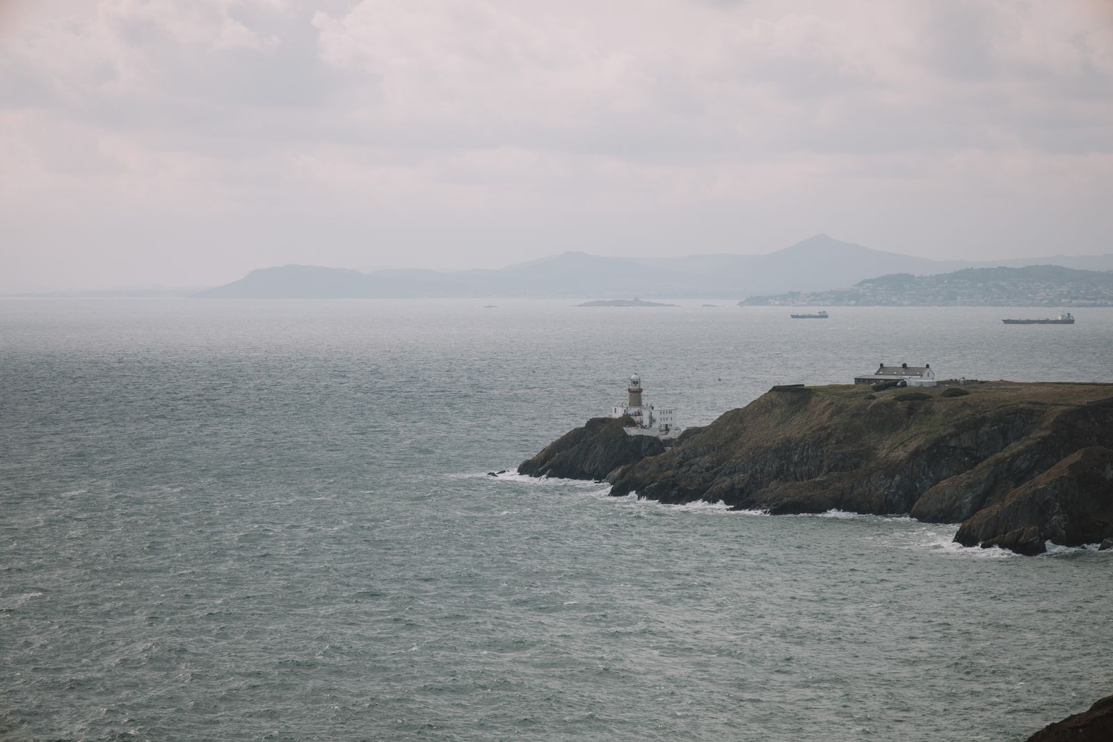
The Ring of Beara is a signed coastal loop around the Beara Peninsula, shared between County Cork and County Kerry. It takes in mountain roads, small villages and the cable car to Dursey Island. Traffic is lighter than on the better known Kerry loop, and the roads are narrower for it.
The shape of the loop
The Ring of Beara follows the coast of the peninsula from Kenmare in County Kerry, west along the southern shore through Lauragh and Ardgroom, then on to Castletownbere and the villages beyond. From there the road turns east along the northern shore, past Eyeries and Ardgroom, and back towards Kenmare. The full circuit is usually driven in a day, though two give time to stop.
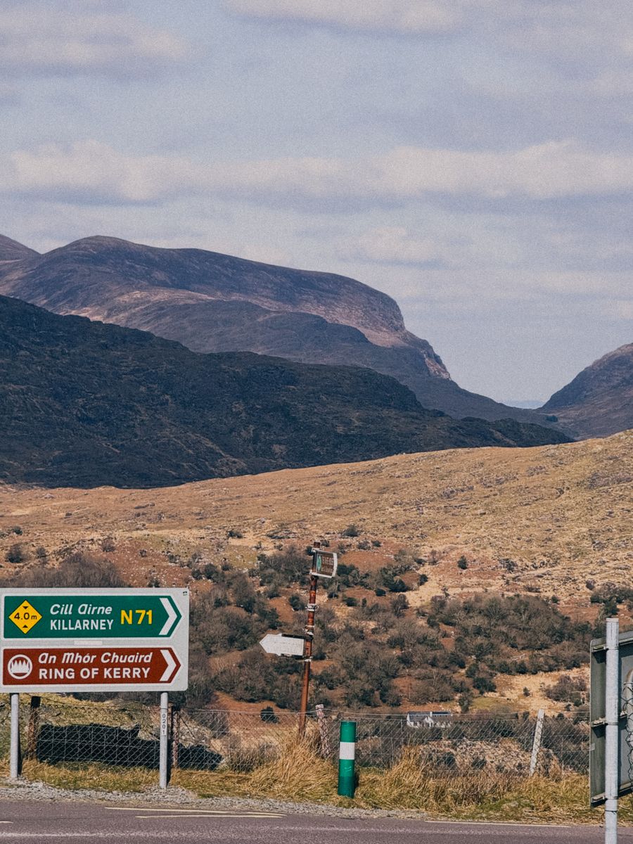
The route is signed rather than waymarked in one direction, so it can be driven either way round. Most drivers start at Kenmare and go clockwise, which puts the sea on the left for the southern half. The roads are narrow in places, with passing places and few verges, and the mountain section between Kenmare and Lauragh climbs through the Caha Pass.
The peninsula is shared between two counties. Kenmare and the northern shore are in County Kerry; Castletownbere, Allihies and Dursey are in County Cork. Nothing marks the change on the road, and it makes little difference to the drive, but it explains why the same loop appears in guides to both counties.
Choosing a base
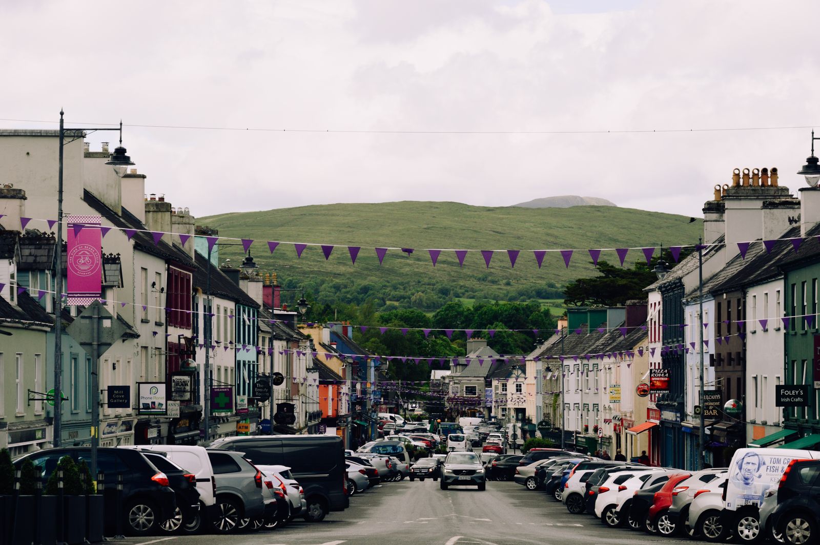
Kenmare sits at the eastern end of the peninsula, where the loop begins and ends. It is a market town with a wide choice of places to stay, and it works well for a first visit because the whole circuit can be driven from there and the town is a short drive from Killarney and the Ring of Kerry. Kenmare is in County Kerry, not West Cork.
Castletownbere, on the southern shore, is the largest town on the Cork side of the peninsula. It has a working harbour, a supermarket and a spread of accommodation, and it puts the western end of the loop, Allihies and the Dursey cable car within easy reach. For a stay of several nights on the peninsula itself, it is the practical choice.
Further west, Eyeries and Allihies are small villages with a limited number of places to stay and a quiet atmosphere. They suit a night or two rather than a whole week. Glengarriff, just off the loop to the east, is another option, close to the woods and the road to Bantry and the rest of West Cork. The booking search on this page is set to West Cork, which covers Castletownbere, Glengarriff and the villages.
Book ahead for July and August, when West Cork fills up. Fáilte Ireland lists registered accommodation if you want to check a place before booking.
Along the southern shore
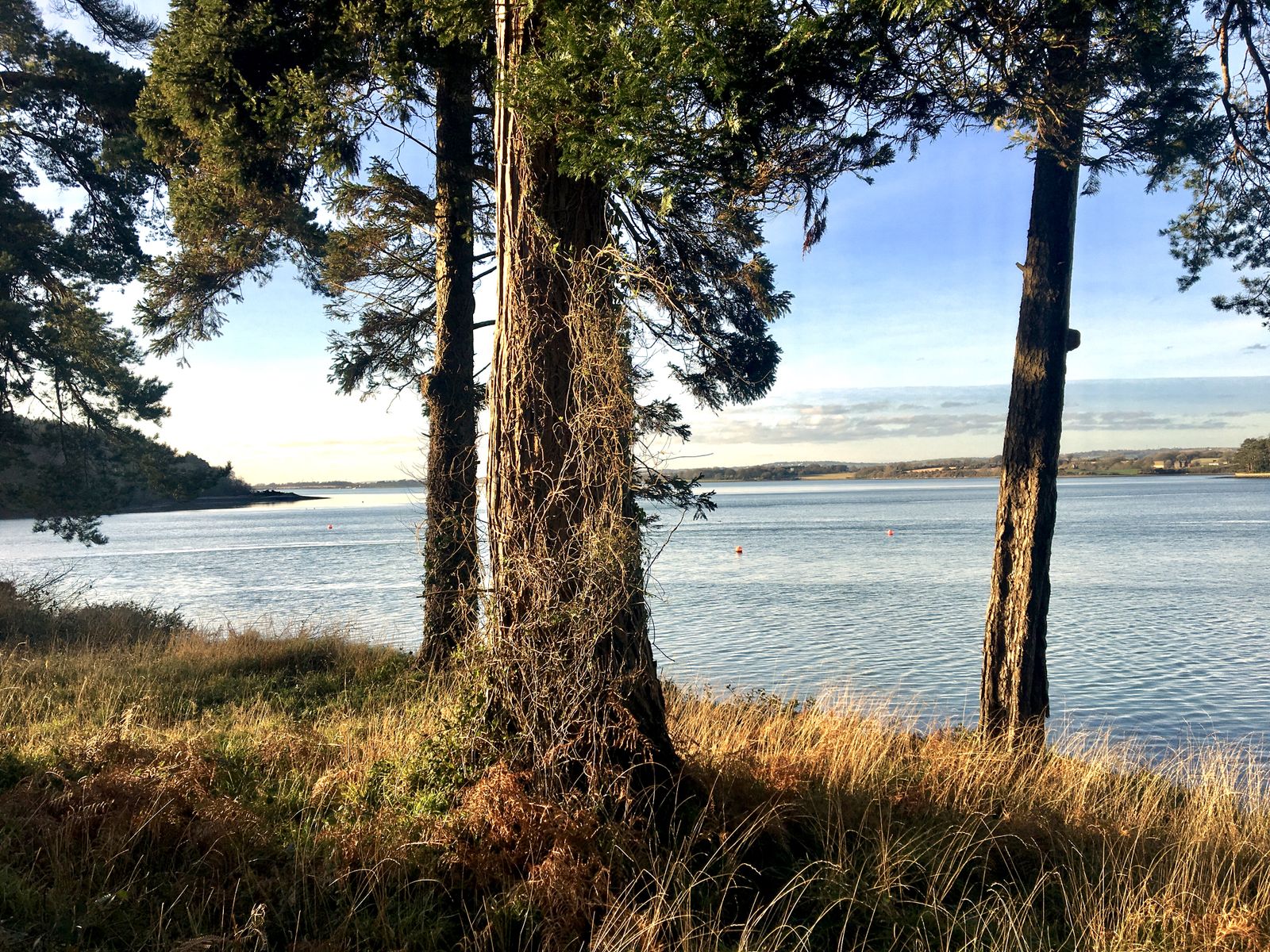
Driving west from Kenmare, the road follows the Kenmare River, which is really a long sea inlet, with the Caha Mountains rising on the right. The Caha Pass is the high point of this stretch, a winding climb with views back over the bay. There are lay-bys at the top, and the road is steep enough that a low gear helps on the descent.
Lauragh and Ardgroom are the first villages on the Kerry side. Ardgroom has a stone circle and a standing stone just outside the village, reached by a short walk across fields. The road continues past small coves and piers, with the Beara Way long distance walking route running close by for much of the way.
Adrigole marks the crossing into County Cork. From here the road runs along the foot of Hungry Hill, the highest of the Caha range, before reaching Castletownbere. The harbour town has a broad quay and a market square, and it is the natural place to stop for lunch before the western end of the peninsula.
Allihies and Dursey
West of Castletownbere the road narrows and the land opens out towards the Atlantic. Allihies is a village of painted houses set below the slopes of the Slieve Miskish mountains, with a long beach at Ballydonegan just below the road. The area was a copper mining district in the nineteenth century, and the remains of engine houses and shafts stand on the hillside above the village.
The road continues to the tip of the peninsula at Dursey Sound, where a cable car crosses to Dursey Island. It is the usual way for visitors to reach the island, and it carries foot passengers and, at set times, livestock. Crossings depend on the weather and the time of year, so check with the operator before setting out.
Dursey Island itself has no shops or cafés and few trees. Walking is the main activity, along quiet lanes to the western end, where the ground drops to cliffs above the sea. The island is a place for a half day rather than a full one, and the last crossing back should be confirmed before you walk away from the cable car.
Dursey cable car sailings change with weather and season. Confirm times with the operator on the day before travelling out.
The northern shore
From Castletownbere the loop turns east along the northern side of the peninsula, facing Bere Island and the mouth of Bantry Bay. The road passes through a string of small settlements, with the water close on the left and the mountains on the right. This side is quieter than the south and has fewer places to stop.
Eyeries is the most distinctive village on this stretch, built up a hillside above the shore with houses in strong colours. A short detour leads to the beach at Ballycrovane, and a standing stone with an ogham inscription stands in a field nearby. The road then continues east through Ardgroom and Lauragh, closing the loop back towards Kenmare.
Bere Island lies offshore and is reached by a short passenger ferry from near Castletownbere. The island has walking routes and a ruined military fort, and a visit takes a few hours. The ferry runs from a slipway on the north side of the harbour, and times should be checked with the operator.
Driving and timing
Traffic drives on the left throughout the peninsula. The roads are narrow, often without a hard shoulder, and the mountain sections have blind bends. Allow more time than a map suggests, and expect to pull in for oncoming traffic, especially on the Caha Pass and the road west of Allihies.
The full loop from Kenmare back to Kenmare can be driven without stops in a few hours, but most visitors take a full day to include Castletownbere, Allihies and the cable car. Two days allow time for walks and for the northern shore. Coach tours use the route in summer, so early mornings are quieter.
Petrol stations are in Kenmare and Castletownbere, with none on the western end of the peninsula. Mobile signal is patchy in the mountains. In wet or windy weather the exposed sections near Dursey can be difficult, and the cable car may not run. Check the forecast with Met Éireann before setting out.
Check road conditions and weather with Met Éireann before the drive. The Caha Pass can be slow in fog or after heavy rain.
Walking and the coast
The Beara Way is a long distance walking route that circles the peninsula, following quiet roads, tracks and open hillside. It is waymarked and can be joined at many points, so a short section makes a good half day. The full route takes several days and needs proper boots and rain gear.
The coast here is exposed and the water cold. Swimming is possible at Ballydonegan and a few other beaches, but there are no lifeguards on most of them, and currents run strong at the sound. The cliffs near Dursey and the headlands beyond Allihies drop sharply to the sea, and the ground can be soft after rain.
Wildlife is a reason to slow down. Seals are common around the harbours and the sound, and seabirds nest on the cliffs in spring and early summer. Puffins appear on some of the offshore islands in the nesting season. BirdWatch Ireland has information on where and when to look, and the dates shift with the weather.
For cliff and coastal walks, tell someone your route and check the tide and forecast. BirdWatch Ireland lists nesting seasons for seabirds.