West Cork is the western part of County Cork, running from around Clonakilty to Mizen Head, the southwest tip of Ireland. The coast breaks into a series of peninsulas separated by deep inlets, with small towns and villages along the way.
Bays and peninsulas
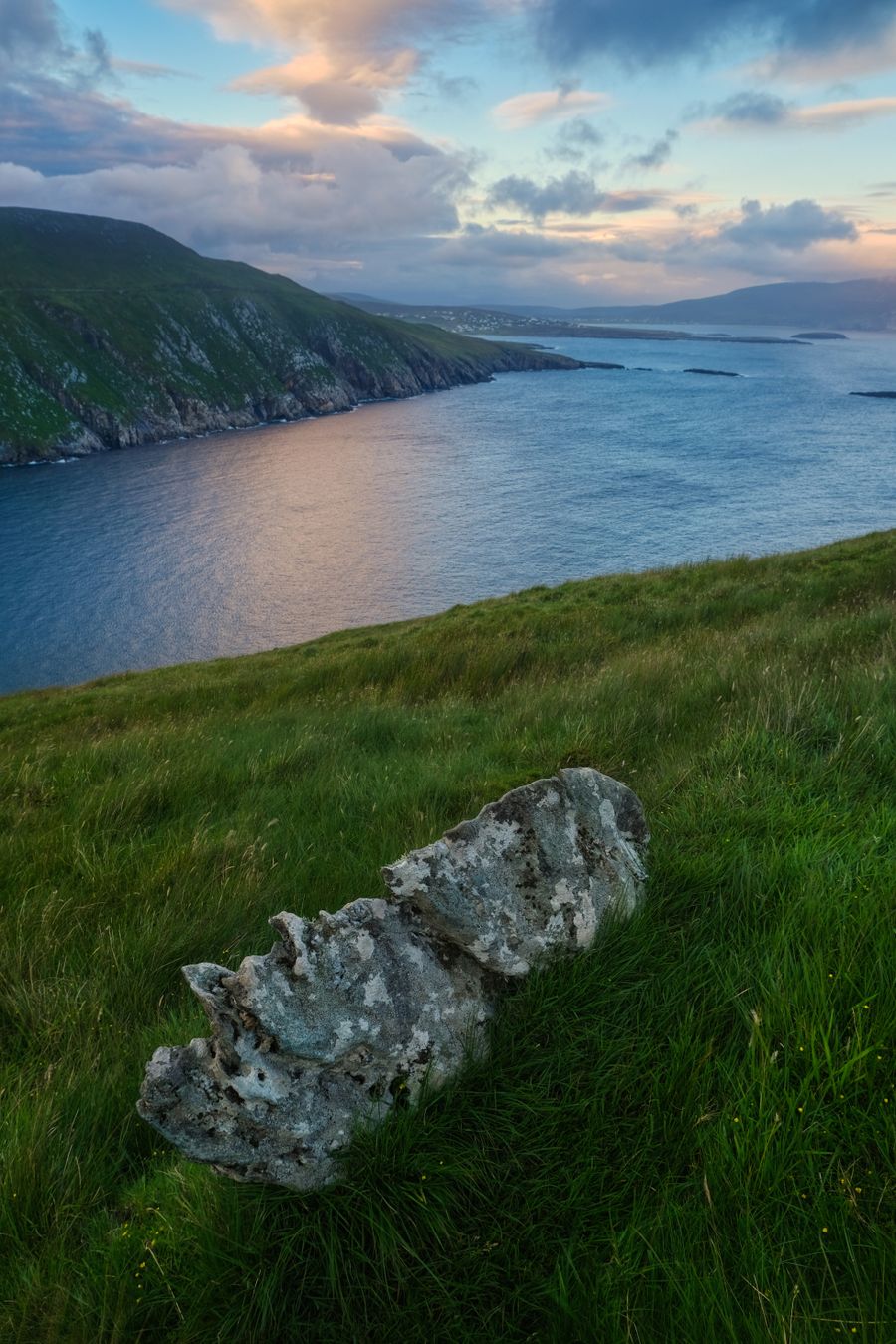
The West Cork coast runs southwest in a series of long fingers of land. Each peninsula is separated from the next by a deep inlet, so the sea reaches far inland and the horizon is often water on both sides of the road. Roaringwater Bay, Dunmanus Bay and Bantry Bay are the main inlets on this stretch, and each has its own scatter of islands and small harbours.
The land is low and rolling rather than mountainous. Fields are small and divided by hedges, and the coast is rocky, with small coves and strands between the headlands. The climate is mild and wet, and the west of the region gets more rain than the east, so a waterproof is worth carrying in every month.
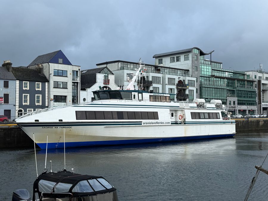
Offshore, Roaringwater Bay holds a scatter of islands, including Sherkin Island and Cape Clear. Ferries run from the villages around Baltimore, and the islands have small permanent populations. The water is sheltered in places and open to the Atlantic in others, which shapes when boats can sail.
Ferry timetables and island landings change with the season. Check with the operator before planning a day around a crossing.
Mizen Head and the tip
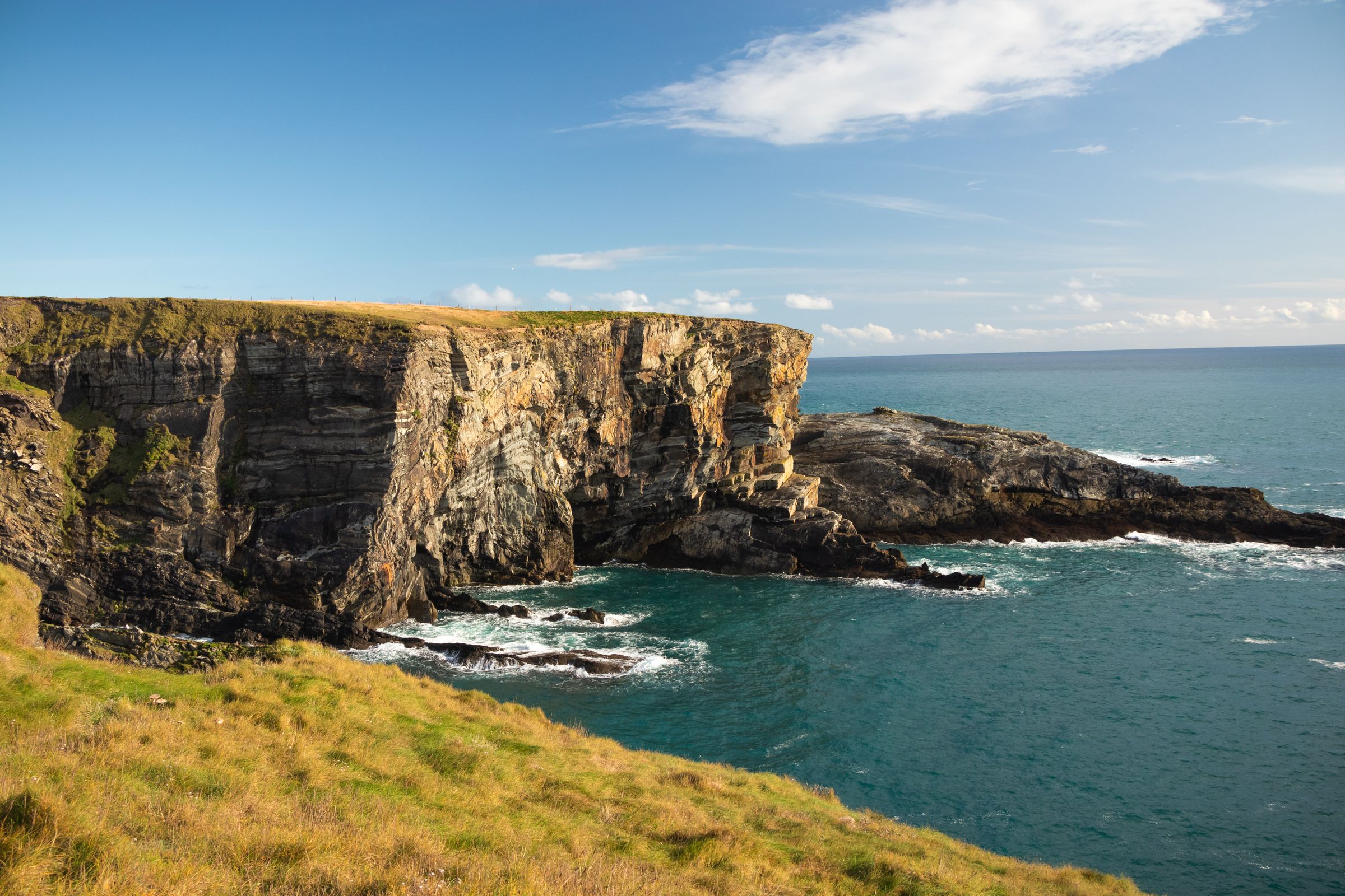
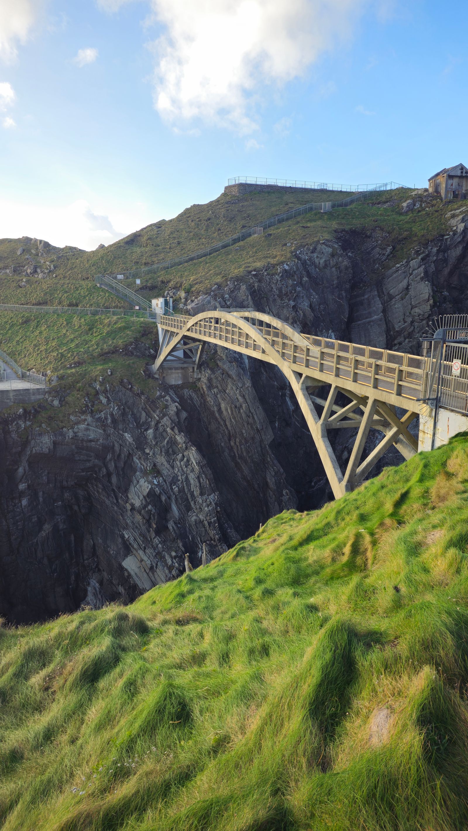
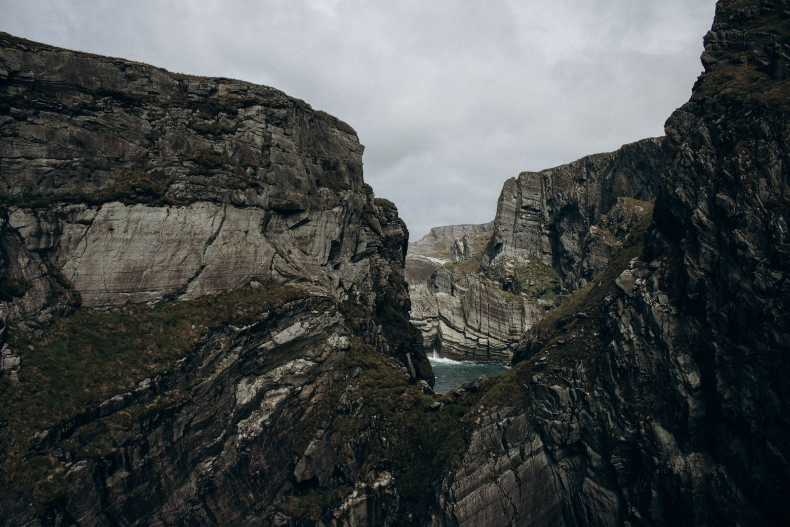
Mizen Head is the rocky headland at the southwest end of the region, reached by road from Ballydehob and Schull. A visitor centre and footbridge give access to the headland, and the bridge crosses a narrow gorge above the sea. The approach road narrows as it climbs, and the last stretch is steep in places.
The headland is a signal station and weather station as well as a viewpoint. On clear days there are views back along the coast and out towards the Fastnet Rock, a lighthouse rock further offshore. The rock is a landmark for sailors and is visible from several points along this coast.
Access to the headland is ticketed. Allow time for the drive and for walking out to the bridge, and check opening times with the Office of Public Works before setting out, as they vary through the year. The surrounding roads are narrow and winding, and passing places are common.
Baltimore and the islands
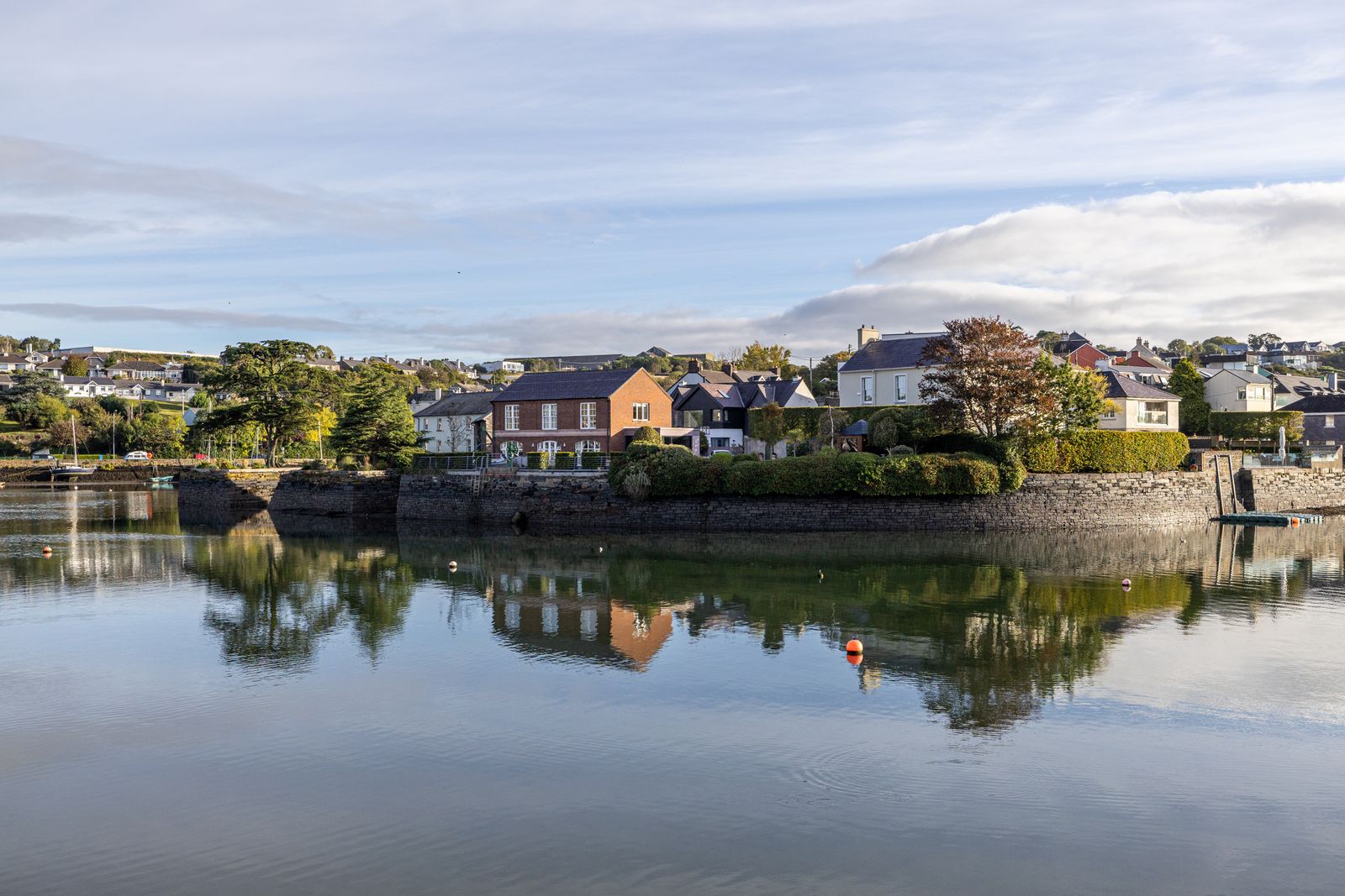
Baltimore is a small village on the coast with a harbour used by ferries to Sherkin Island and Cape Clear. The village has a scattering of places to eat and stay, and the harbour is the main landing point for the islands. It is a working harbour as well as a ferry port, with fishing and sailing boats alongside.
Cape Clear is the larger and further of the two, with a walking trail and a heritage centre. Sherkin is closer and smaller, with a beach and a ruined friary near the landing point. Both are quiet outside the summer months, when the ferries run more often and the island paths are busier.
Sailing and sea angling are part of the local economy, and the harbour at Baltimore is busy in summer. The village also holds a festival in the summer months, which brings visitors to the area. Dates change from year to year, so check locally before planning a trip around one.
Crossings depend on weather and season. Confirm sailings with the ferry operator and allow for a cancelled crossing.
Skibbereen and the market towns
Skibbereen is the main town of the region and a practical base. It has shops, a heritage centre and a good choice of places to stay, and it sits at the head of the inlets, so several peninsulas are within reach. The town is a useful starting point for Mizen Head, Roaringwater Bay and the islands around Baltimore.
Clonakilty, further east, is a larger market town with a wide main street and a strong food and music scene. It is a good base for the eastern end of West Cork and for the coast around Courtmacsherry. The town is also within easy reach of the beaches and the quieter roads along this stretch.
Bantry, at the head of Bantry Bay, is the base for the Sheep's Head and Beara peninsulas. Schull and Ballydehob are smaller villages on the south coast, useful for Mizen Head and Roaringwater Bay. Each base suits a different part of the region, so the choice depends on how much driving you want to do.
Walking the peninsulas
The Sheep's Head peninsula has a waymarked walking route around its coast, and the Beara peninsula has a longer route along its length. Both are low-level walks along roads and tracks, with sea views for much of the way. The routes are signposted, and shorter sections can be walked as day trips from the nearby towns.
Shorter walks include the trails around Mizen Head and the paths on Cape Clear. The terrain is mostly gentle, but the weather can change quickly and the ground is often wet underfoot. Good footwear matters more than distance on these paths, and a map is worth carrying where the waymarking is thin.
The region is part of the Wild Atlantic Way, the signed coastal route that runs from Donegal to Kinsale. Driving the West Cork section takes in the peninsulas and the villages along the coast. Some stretches are narrow, so allow more time than the distance on the map suggests.
Check the weather forecast from Met Éireann before a long coastal walk, and carry a waterproof in every season.
Food and music
West Cork has a strong food culture, built on small producers, fishing and farming. Markets in Skibbereen and Clonakilty sell local produce, and many villages have places to eat that use ingredients from nearby. Cheeses, smoked fish and vegetables from the region appear on menus across the county, and the markets are a good place to see what is in season.
Traditional music is played in pubs across the region, particularly in Clonakilty and Bantry. Sessions are informal and often in the evening, and visitors are welcome to listen. The music is part of the social life of the towns rather than a staged event, so the best way to find a session is to ask locally.
The region also has a number of small food festivals through the year, mostly in the summer months. Dates change from year to year, so check locally or with the organisers before travelling for one. Outside festival weekends, the towns and villages keep a steady rhythm of markets and evening music.
Getting there and around
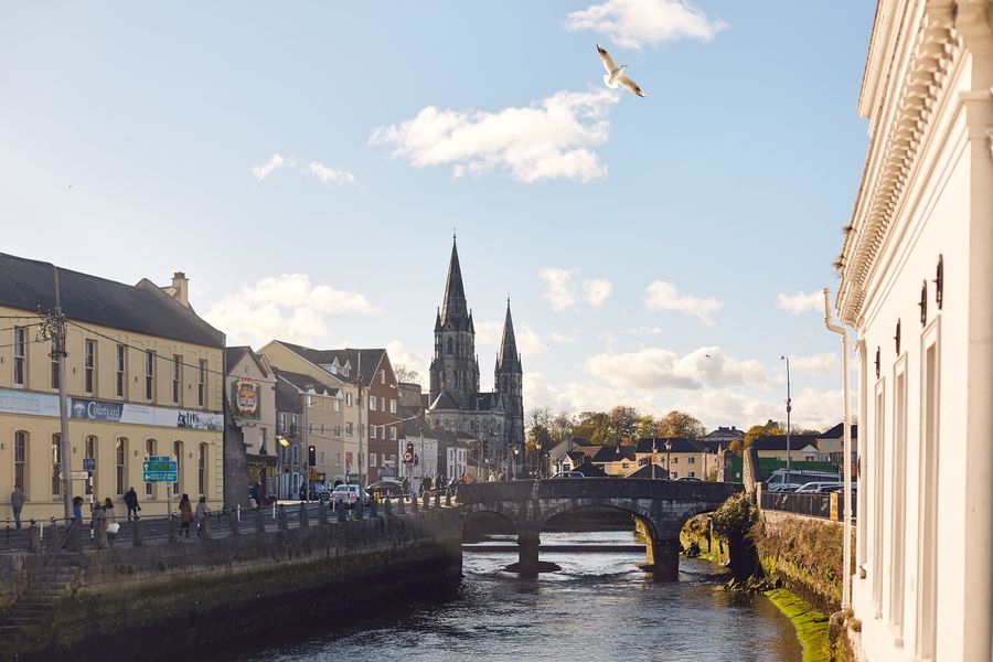
Cork city is the gateway to West Cork. Buses run from Cork to Clonakilty, Skibbereen and Bantry, and onward to smaller villages on some routes. The journey takes time, and services are less frequent on Sundays and in winter. Transport for Ireland has a journey planner that covers the main routes and connections.
There is no railway in West Cork. A car is the most practical way to reach the peninsulas and the coast, though the roads are narrow in places. Driving is on the left. Fuel and parking are easier to find in the towns than on the headlands, so plan stops before heading out to the coast.
Cork Airport is the nearest airport, with flights from several UK and European cities. Shannon and Dublin are further away. Timetables and routes change, so check with the operator before travelling. Car hire is available at the airport and in Cork city, and booking ahead is sensible in summer.