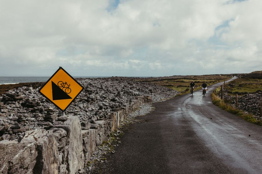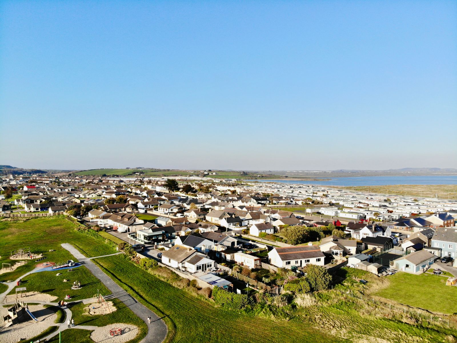
The Waterford Greenway follows a disused railway line for about 46 km between Waterford city and Dungarvan. It is traffic-free, mostly level and open to walkers and cyclists, with the Comeragh Mountains inland and the coast to the south.
The route
The greenway runs from the edge of Waterford city west to Dungarvan, following the alignment of the old Waterford and Limerick Railway. The surface is sealed and wide enough for walkers and cyclists to share, and the gradients are gentle because trains needed them that way. Old station buildings, bridges and stone walls mark the line of the railway throughout.
Most people ride it in one direction and arrange a lift or a bus back at the far end. The full route takes about half a day by bike and a long day on foot. Shorter stretches suit families and casual walkers, and every village along the way has an access point to the trail.
The trail is free to walk and open all year. It passes through farmland and small villages, so expect gates, minor road crossings and the occasional farm vehicle near access points. The surface drains well but can be wet after heavy rain, and the open stretches are exposed to wind.
Check the official Waterford Greenway and Waterford City and County Council pages before setting out, as short sections close for maintenance.
Starting in Waterford
Waterford city is the eastern trailhead and the largest base on the route. The city has a long quayside, a Viking and medieval history, and several museums in the old quarter between the quays and the cathedral. It makes a practical base for the first stretch of the greenway and for a day in the city itself.
The greenway begins near the city and heads west along the old railway alignment, passing the suburbs before the countryside opens out. The early kilometres are straightforward and give a feel for the trail and its surface before the longer stretches begin.
Bikes can be hired in the city, and the train and bus stations are close to the centre. Iarnród Éireann and Bus Éireann both serve Waterford, and timetables change through the year, so check with the operators before travelling. Transport for Ireland has a journey planner covering the region.
The Kilmacthomas viaduct
At Kilmacthomas the trail crosses a tall stone viaduct over the River Mahon, one of the landmarks of the route. The viaduct carried trains until the line closed and now carries walkers and cyclists instead. Its arches are best seen from the village below, where the river runs under the span.
The village has a small square, a few places to eat and a steady flow of trail users in summer. It is a common stopping point roughly halfway along, and the short climb up to the viaduct rewards with a view back over the village roofs and the river valley.
Kilmacthomas is a sensible base for a shorter out-and-back ride, with parking and easy access to the trail. The village sits between the two ends, so a day here can take in the viaduct in one direction and the approach to the coast in the other.
The stonework of the viaduct is worth a closer look, with cut limestone blocks and a parapet that has survived more than a century of weather. Photographers tend to stop here, and the village below is a natural place to rest before carrying on west.
The Ballyvoyle tunnel
Near the western end the greenway passes through the Ballyvoyle tunnel, a curved brick-lined passage cut for the railway. It is lit, but the light is dim and the surface can be damp underfoot. The tunnel bends, so the far end is not visible from the entrance and the light fades in the middle.
Walkers and cyclists share the tunnel, so keep left and take care in the dark. Lights on bikes are useful here even by day, and a jacket helps in wet weather. The brick lining and the curve make it one of the more distinctive stretches of the route.
Beyond the tunnel the trail drops towards Dungarvan and the coast, with views opening over the estuary and the hills behind the town. The descent is gentle but steady, and the last kilometres into Dungarvan run close to the water.
Bring a bike light for the Ballyvoyle tunnel, and check the council page for any lighting outages before you go.
Dungarvan and the coast
Dungarvan is the western trailhead, a market town on the estuary with a broad quayside and a castle. It has places to eat, a heritage centre and access to the beach at Clonea Strand a short distance away. The town centre is compact and the greenway ends within easy reach of it.
The town is a good base for the western half of the greenway and for exploring the coast towards Ardmore and the cliffs beyond. Boats and angling operate from the harbour, and the estuary is a working waterway with tides that shape the day.
From Dungarvan the Comeragh Mountains rise inland, and the road west leads on towards West Cork and the Ring of Kerry. Buses and the main road connect the town with Waterford and Cork, and the journey planner from Transport for Ireland covers the options.
Hedgerows and birdlife
The greenway runs through hedgerows, fields and old station cuttings, and the birdlife follows the seasons. Expect songbirds in the hedges, waders on the estuary mudflats and gulls along the coast. The mix changes with the tide, so an hour at the estuary can turn up very different birds from an hour inland.
The old railway cuttings hold wildflowers in spring and summer, and the hedges are cut back to keep the trail clear. Bats use the tree lines and the tunnel, and the Ballyvoyle area is known for them. Evening is the best time to see bats hunting along the sheltered stretches.
BirdWatch Ireland has information on the species found along the south coast. Bring binoculars for the estuary, where the tide dictates what is visible on any given day. Otters use the rivers and estuary, though they are shy and most often seen at dusk.
Practical points
The greenway is shared by walkers, cyclists and runners. Keep left, pass on the right and give warning before overtaking. Dogs should be kept under control near livestock and on leads where signs ask. Groups should ride in single file where the trail narrows near bridges and gates.
Weather on the south coast is mild but changeable, and rain is possible in any month. The trail is exposed in places, so a waterproof and a windproof layer are sensible whatever the forecast. Water refill points are limited, so carry enough for the distance planned.
This is the Republic of Ireland, so distances are in kilometres and the currency is the euro. There are no routine checks on the border, but entry rules depend on the passport, so check the Irish Immigration Service before travelling. The emergency number is 112 or 999.
Check Met Éireann for the south east forecast before setting out, and carry water as refill points are limited.