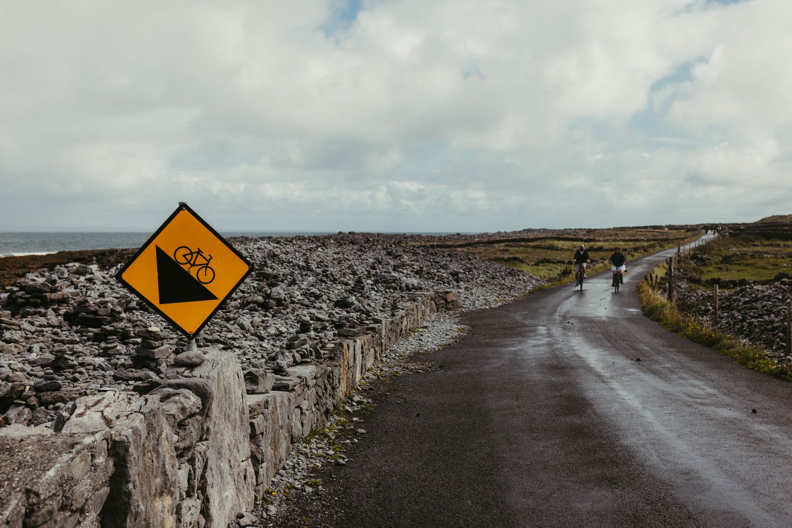
Ireland has built a growing network of greenways: traffic-free routes for cycling and walking, most of them laid on abandoned railway lines. They cross countryside that trains once served, with stations, bridges and cuttings still in place. The Waterford Greenway is the best known, and several others now link towns in the west and midlands.
What a greenway is
A greenway is a route closed to motor traffic, kept for walking and cycling. Most in Ireland follow old railway lines, which is why they run so straight and level: trains could not climb steep hills, so the gradients are gentle and the curves wide. That makes them usable by almost anyone, including children on their own bikes and people who have not cycled for years.
The surfaces vary. Some routes are sealed with smooth tarmac, others are finished in compacted gravel or stone dust. A hybrid, a touring bike or a mountain bike copes with all of them; a road bike with narrow tyres is fine on the sealed sections and less comfortable on gravel. Most greenways are shared by walkers, runners and cyclists, so keep left, ring a bell or call out before overtaking, and slow down near children and dogs.
Distances between towns are modest, and most routes have places to stop along the way. Many trailheads have bike hire, but the operators are private businesses, so check locally for what is available at each end. Outside the towns, shelter is limited and the weather changes quickly, so a waterproof and a spare layer are worth carrying even on a bright morning.
The Waterford Greenway
The Waterford Greenway runs from Waterford city west to Dungarvan, following the line of the old Waterford and Limerick railway. The route crosses eleven bridges and passes through a tunnel, and it keeps company with the River Suir and later the coast. Because it is largely level and traffic-free, it is the route most often recommended for a first greenway trip, and it can be ridden in a day by most cyclists, or split over two with a night in one of the towns along the way.
Waterford city is the obvious base at the eastern end, with trains and buses from Dublin and Limerick, and a compact centre to stay in. Dungarvan at the western end is a market town with a harbour and a good choice for a second night. Between them, Kilmacthomas sits roughly halfway and has become a stopping point in its own right, with the old station buildings still standing beside the trail.
The route is popular, and busy on fine weekends and in summer. Going early in the morning or late in the afternoon gives quieter riding. The Greenway is managed by Waterford City and County Council, and notices about closures or surface works are posted by the council, so check before setting out if travelling a distance to reach it.
Waterford city has rail and bus connections, which makes it the easiest base for the greenway. Check timetables with Iarnród Éireann and Bus Éireann before booking.
Westport and Achill
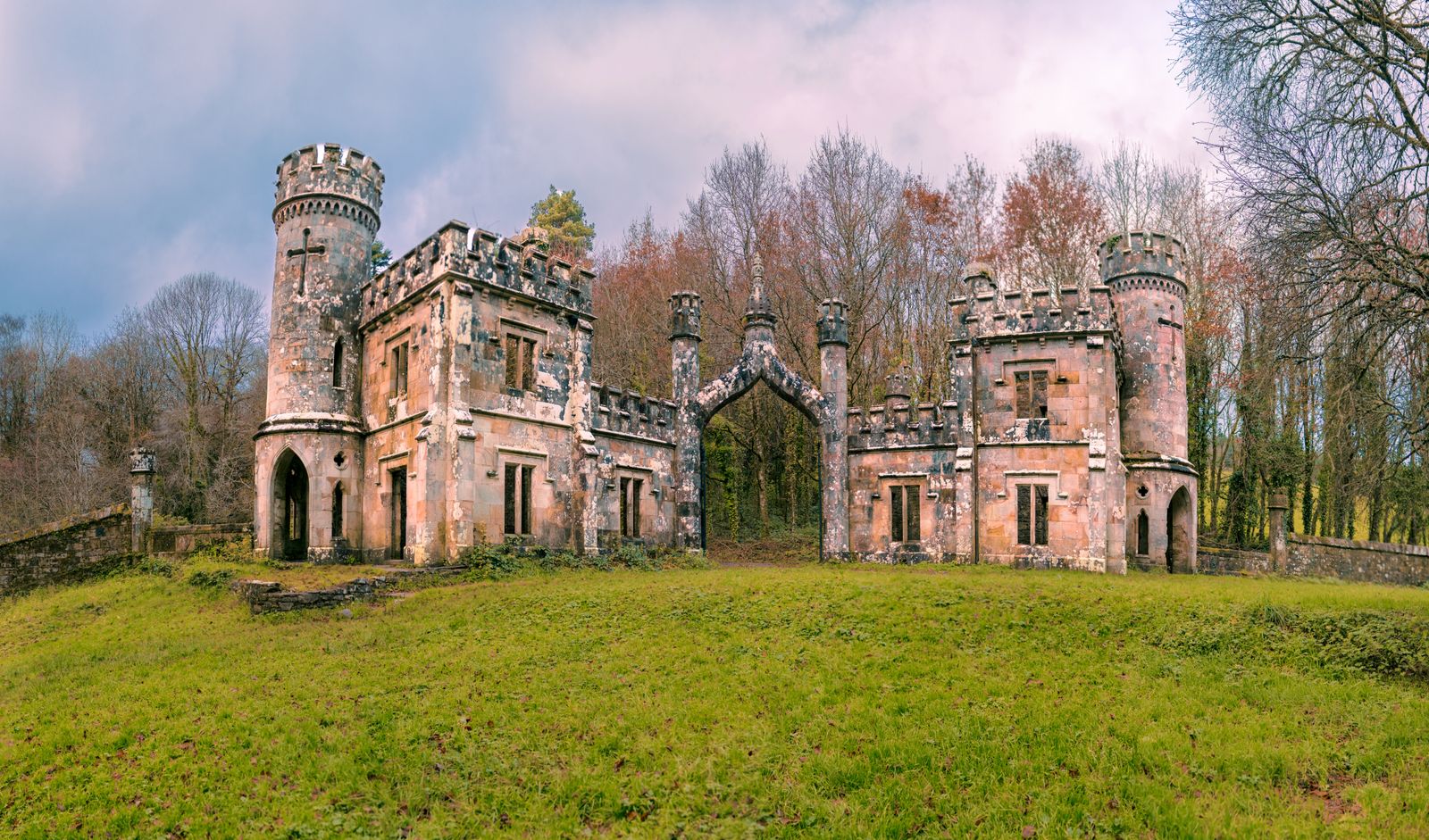
The Great Western Greenway runs from Westport in County Mayo out to Achill, following the line of the old Midland Great Western Railway. It passes through Newport and Mulranny, with views across Clew Bay and its islands, and long stretches where the only company is sheep and the occasional walker. The full route is a serious day out on a bike, and many people ride a section and return rather than the whole length.
Westport is the natural base. It is a planned Georgian town with a wide main street, plenty of places to stay and eat, and a railway station with trains from Dublin. Newport and Mulranny are smaller, quieter alternatives if the aim is to be on the trail from the door. Achill Island at the far end is reached by a road bridge, so no ferry is involved, and the island has its own beaches and cliffs to explore once the cycling is done.
The route is managed by Mayo County Council together with local development bodies, and sections have been resurfaced and extended over the years. As with any trail, check the council's current notices for closures or diversions before relying on a particular stretch, especially outside the summer months.
Other routes to know
The Royal Canal Greenway runs along the towpath of the Royal Canal from Maynooth in County Kildare west towards Longford, crossing the midlands on a flat, traffic-free line. It is long, quiet and well suited to touring, with towns at intervals for food and beds. The Grand Canal has a similar towpath route closer to Dublin, and both are shared with walkers and anglers.
In the southeast, the Barrow towpath follows the River Barrow between Athy and St Mullins, passing through gentle farmland and old lock houses. In Northern Ireland, the Comber Greenway runs from Belfast out towards Comber, and the wider network there is developed by local councils with support from the Department for Infrastructure. Note that Northern Ireland is part of the United Kingdom, so distances are in miles and any charges are in pounds sterling.
Several shorter routes serve towns and their hinterlands, often on former branch lines. These are useful for a half day rather than a full trip. Because new greenways open and existing ones are extended, the reliable way to plan is to check the current route map from the relevant local authority rather than an old guidebook.
Where to base yourself
For the Waterford Greenway, base in Waterford city or Dungarvan. Waterford has the better transport links, with trains and coaches from Dublin and Limerick, and a city centre worth a day of its own. Dungarvan is smaller and closer to the western end, and suits anyone who wants to ride the trail in one direction and finish near a harbour. Kilmacthomas in between works for a single overnight.
For the Great Western Greenway, Westport is the strongest base, with a station, a range of places to stay and a town centre that is easy to walk. Newport and Mulranny are quieter and put you on the trail immediately. Achill Island rewards an extra night if the weather is kind, with beaches and cliff walks beyond the greenway itself.
For the Royal Canal, Maynooth and Mullingar are the obvious stopping points, both with rail connections. For the Barrow, Athy and Carlow sit at either end of the most-used stretch. In all cases, a base with a station means the bike can be left behind for the return journey, which is often simpler than riding back the way you came.
Bike carriage on trains is limited and often needs booking. Check the rules with Iarnród Éireann before planning a one-way ride.
Bikes, weather and rules
Bike hire is available at or near most of the larger greenways, usually from private operators based in the trailhead towns. Because these are businesses, this guide does not name them; ask at the tourist office or your accommodation, or search for hire in the town you plan to start from. Hire bikes are typically hybrids or electric bikes, which suit the surfaces well.
The weather is the main variable. Rain is possible in every month, and the west is wetter than the east. Wind matters more than hills on these flat routes: a headwind on an exposed coastal stretch can make a short distance feel long. Carry a waterproof, a spare layer and water, and check the forecast with Met Éireann before setting out. Daylight runs from about seventeen hours around midsummer to about seven and a half hours in late December, so winter rides need to start early.
Greenways are shared spaces. Cyclists should give way to walkers, keep left, and use a bell or a voice on approach. Dogs should be under control. Most routes are free to ride, though some car parks at trailheads are ticketed. For anything that changes, including closures, surface works and seasonal arrangements, check with the local authority that manages the route.
Reaching the trailheads
The Waterford Greenway is the easiest to reach without a car. Waterford city has direct trains from Dublin Heuston and connections from Limerick, and bus services from around the region. Dungarvan is served by bus, and the two towns are linked by the greenway itself, so a one-way ride with a bus or train back is straightforward.
Westport has a railway station on the Dublin to Westport line, and bus connections onward to Newport and Achill. The greenway starts in the town, so no transfer is needed. For the Royal Canal, Maynooth and Mullingar both have stations on the Dublin to Sligo line. The Barrow towpath is less well served, and Athy and Carlow are the practical access points by bus and rail.
Transport for Ireland runs a journey planner covering trains, buses and trams in the Republic. Timetables change, so confirm times with the operator before travelling. For Northern Ireland routes, Translink publishes its own timetables and tickets, and these are separate from those in the Republic. There are no routine checks on roads crossing the border, but currency and distance units change once you are in Northern Ireland.