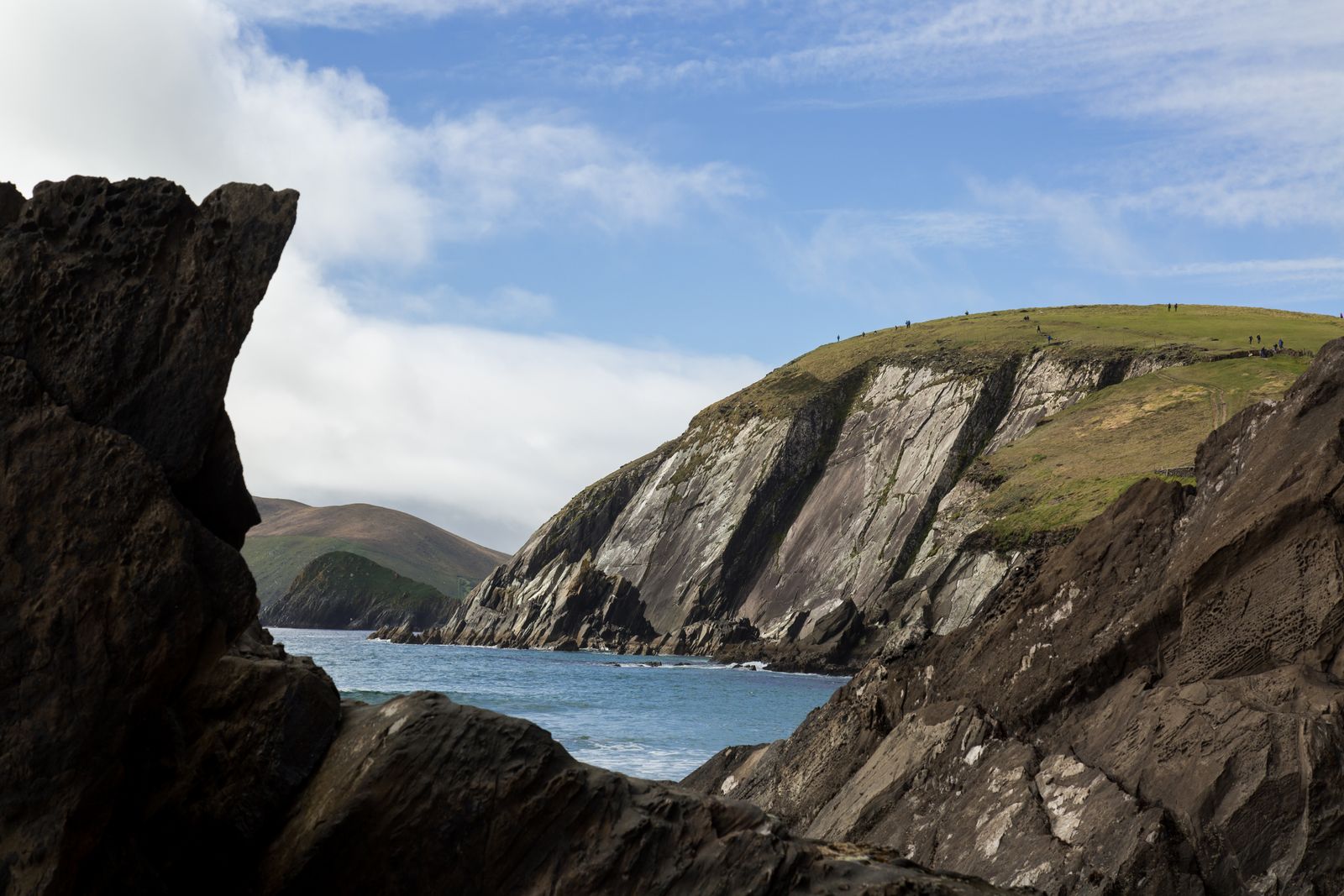
The Dingle Way is a long-distance walking route that circles the Dingle Peninsula in County Kerry. It starts and ends in Tralee, follows quiet roads, bog tracks and beaches, and passes through Dingle town and the Irish-speaking areas around Slea Head. Most walkers take several days.
The route
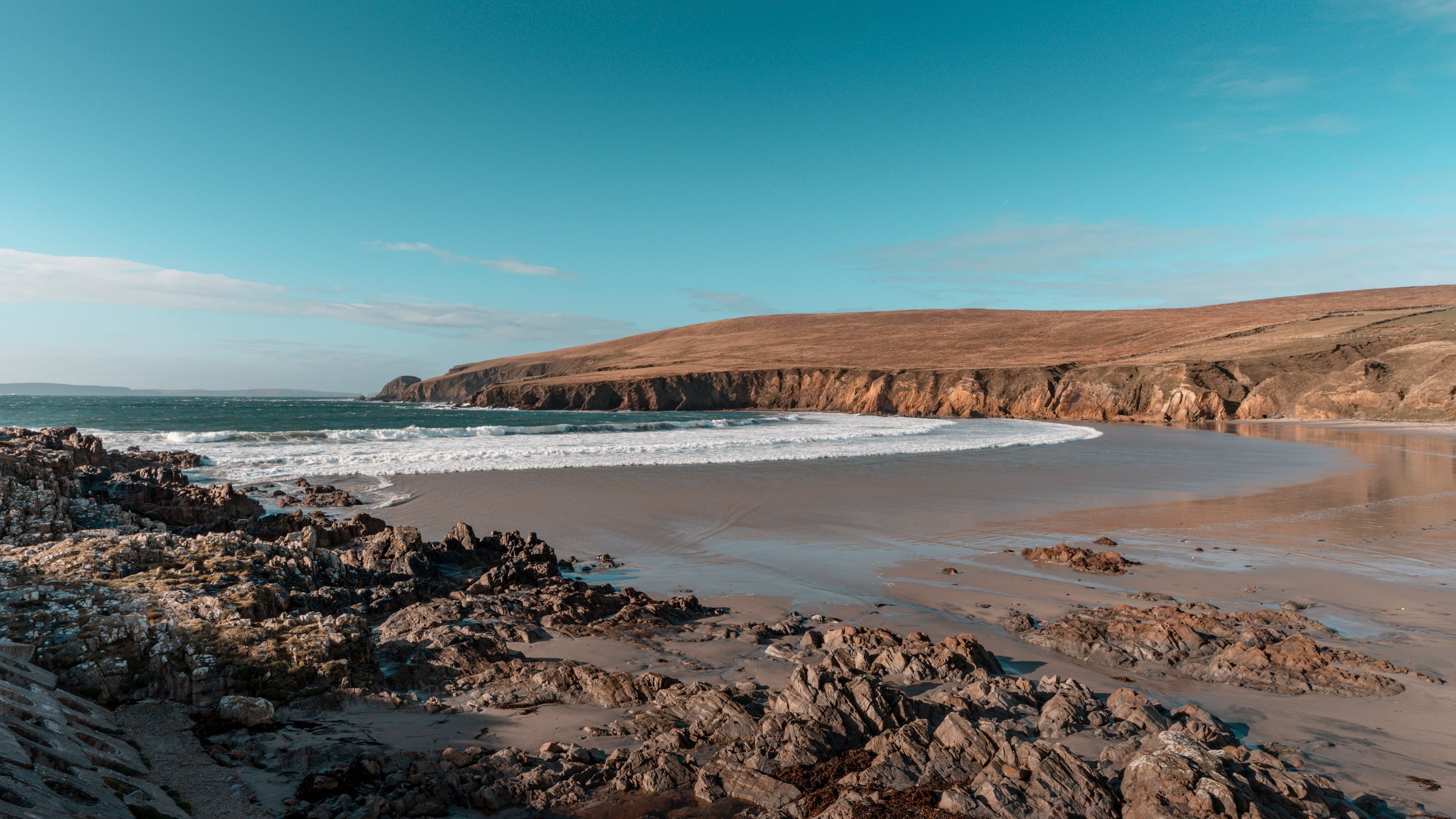
The Dingle Way is a waymarked trail of roughly 160 kilometres that loops around the Dingle Peninsula. It begins in Tralee, heads west along the southern side of the peninsula, turns north at Slea Head and returns to Tralee along the northern coast. The route is signed with yellow arrows on a marker post, and the waymarking is maintained by local groups and Sport Ireland.
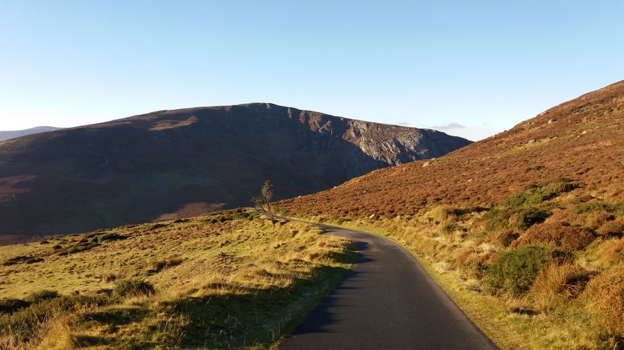
The walk is usually done in seven or eight stages, though some walkers split it into shorter days or combine two stages. The terrain is varied: minor roads, green tracks, bog, mountain paths and long stretches of beach. There are some climbs, but the route stays low for most of its length. The western end, around Slea Head and Mount Brandon, is the most demanding.
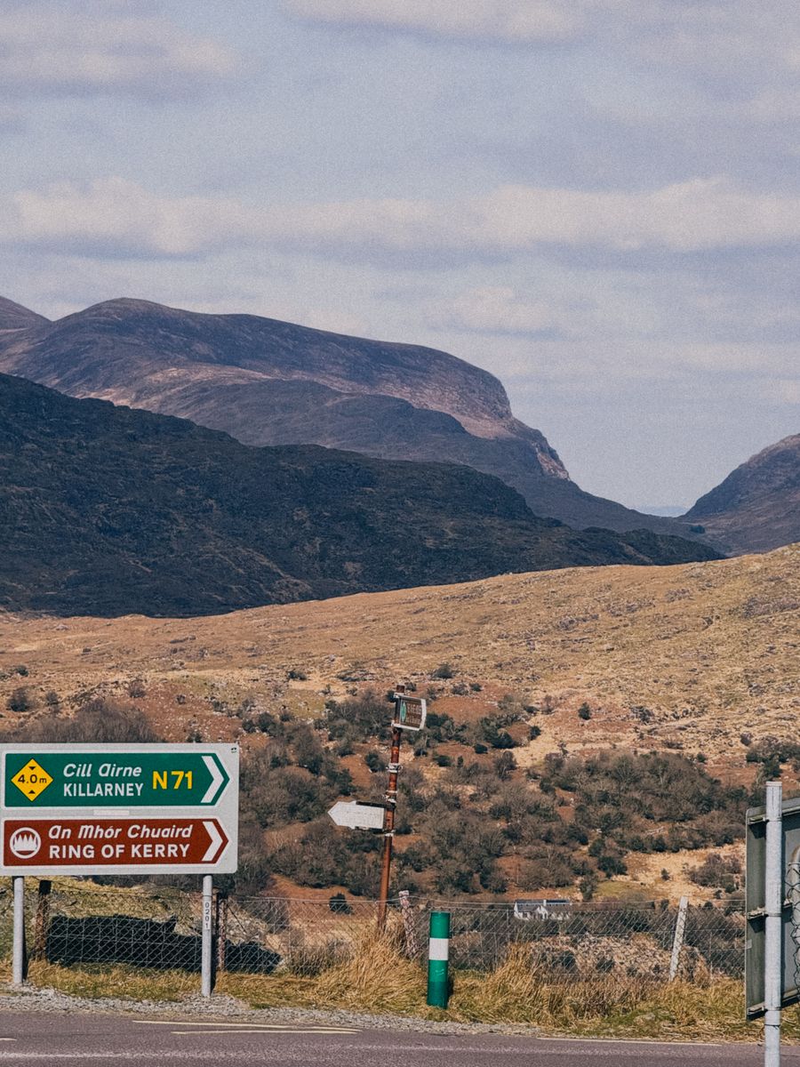
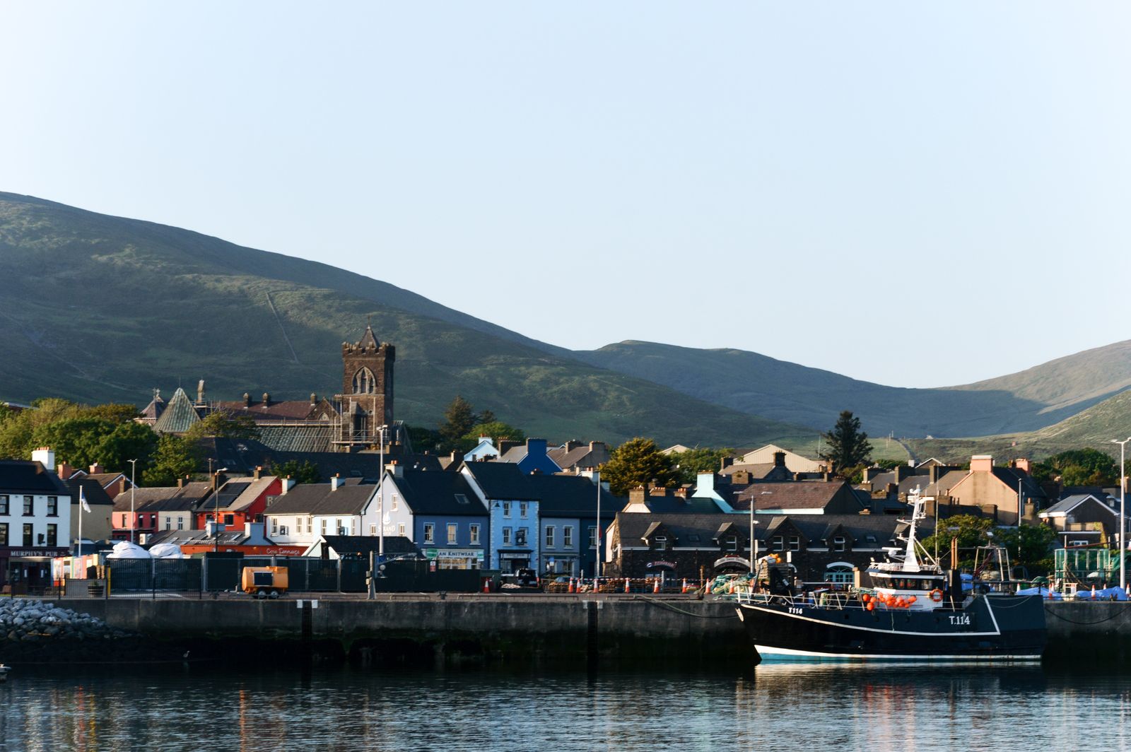
The route passes through Dingle town, where many walkers take a rest day. It also passes close to the village of Annascaul, the village of Camp and the village of Cloghane. The peninsula is part of the Gaeltacht in its western half, so road signs are in Irish only. Walkers should carry a map and compass, as weather can close in quickly.
Stages and distances
The first stage runs from Tralee to Camp, mostly on minor roads and forest tracks, with views over Tralee Bay. The next stage from Camp to Annascaul crosses a low pass and then follows the coast. Annascaul to Lispole is a shorter day on quiet roads. Lispole to Dingle brings the walker into the town along the shore.
From Dingle, the route goes west to Ventry and then around Slea Head to Dunquin. This is the most scenic section, with views to the Blasket Islands. Dunquin to Ballycurrane crosses the shoulder of Mount Eagle. Ballycurrane to Cloghane is a long day over the Connor Pass or a lower route. Cloghane to Camp and Camp to Tralee complete the loop.
Distances vary between guidebooks and the official waymarking. Walkers should check the current route notes from Sport Ireland or a reliable guidebook before setting out. Some sections have no shops or pubs, so carry food and water. The total distance is usually given as around 160 kilometres, but side trips and detours add to that.
Check the current route notes and any diversions with Sport Ireland before setting out, as waymarking and paths can change.
Where to base yourself
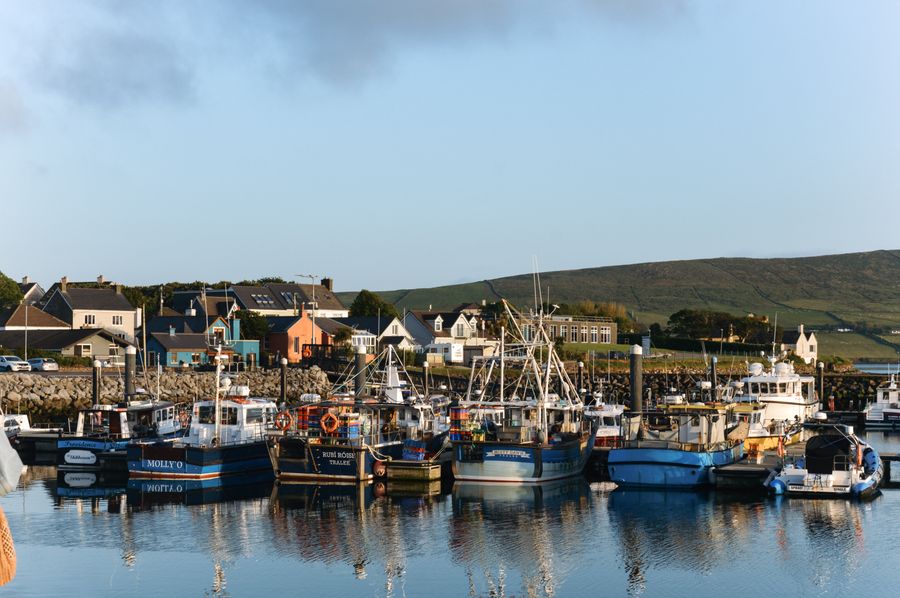
Dingle town is the natural base for the western half of the route. It has a range of accommodation, shops and transport links, and is close to the start of the Slea Head section. Walkers often stay two or three nights here and use it as a hub for day walks. The town is also a good place to arrange a baggage transfer.
Tralee is the base for the eastern end of the route and has the main rail and bus connections. Annascaul and Camp are smaller villages with limited accommodation but make convenient stops for walkers doing the route in stages. Cloghane, on the northern side, is a quiet base for the Mount Brandon area.
The booking search on this page is set to the Dingle region. For walkers who want to do the whole route, a common approach is to stay in Dingle for the western stages and in Tralee or Camp for the eastern stages. Buses and local transport can link the stages, but services are limited, so check timetables with Bus Éireann or TFI Local Link.
Bus services on the peninsula are limited, especially in winter. Check timetables with Bus Éireann or TFI Local Link before relying on them.
Weather and when to go
The Dingle Peninsula has a temperate oceanic climate, with mild winters and cool summers. Rain is possible in every month, and the western end is wetter than the east. Walkers should be prepared for changeable conditions and carry waterproofs. The best months for walking are usually May to September, when daylight is long and the weather is more settled.
In summer, daylight lasts from about 17 hours around the June solstice, which allows long days on the trail. In winter, daylight is much shorter, and some sections may not be practical in a single day. Wind is a factor on exposed sections, especially around Slea Head and Mount Brandon.
Met Éireann provides forecasts and warnings. Walkers should check the forecast before setting out and be prepared to change plans. Fog can reduce visibility on higher ground, and paths can be muddy after rain. The route is not recommended in severe weather.
Check the forecast and any warnings from Met Éireann before setting out, and carry a map and compass.
Facilities and supplies
Dingle town has shops, cafes, restaurants and accommodation. Tralee has a wider range of services. The villages along the route have limited facilities: some have a small shop or pub, but not all are open all year. Walkers should carry enough food and water for the day.
There are no shops on the section between Dingle and Dunquin, so stock up in Dingle before setting out. The same applies to the northern side between Cloghane and Camp. Water can be taken from taps in villages, but walkers should carry a refillable bottle.
Public toilets are limited. Walkers should plan accordingly. Some accommodation providers offer packed lunches if asked in advance. The route passes through farmland, and walkers should not enter fields with livestock without care.
Getting there and away
Tralee is the main transport hub for the peninsula. It has a railway station with connections to Dublin, Cork and Limerick, and bus services from Bus Éireann. Kerry Airport is about 20 kilometres from Tralee and has flights from Dublin and some UK airports.
From Tralee, buses run to Dingle and other villages on the peninsula. Services are more frequent in summer. TFI Local Link operates some rural routes. Walkers should check timetables with Bus Éireann or TFI Local Link before travelling, as services are limited.
For those driving, there is parking in Tralee and Dingle, but parking at trailheads is limited. A common approach is to use public transport to reach the start of each stage and arrange a pickup or use a local taxi. Car hire is available in Tralee and at Kerry Airport.