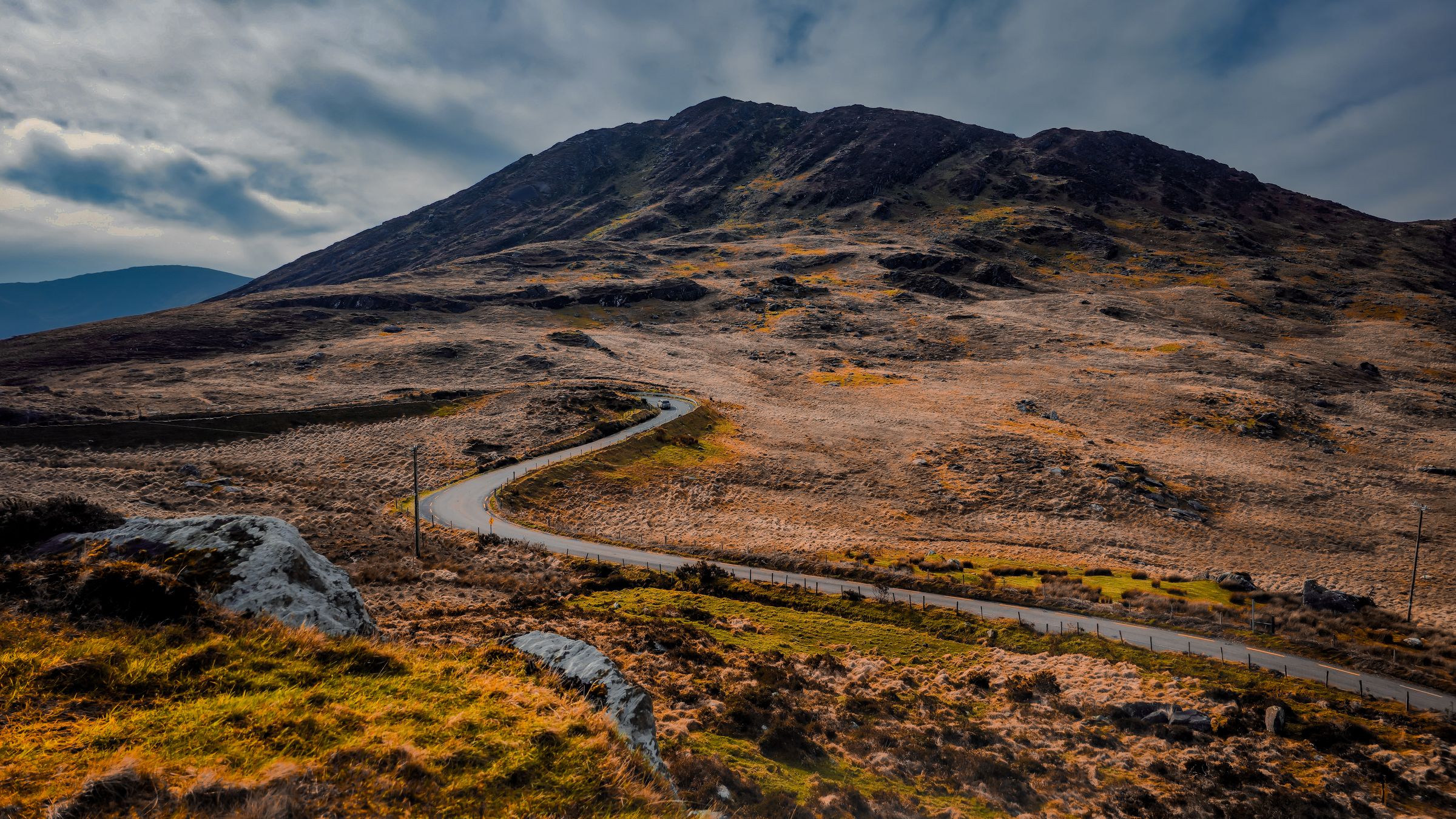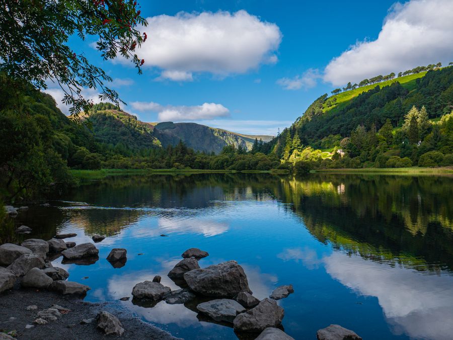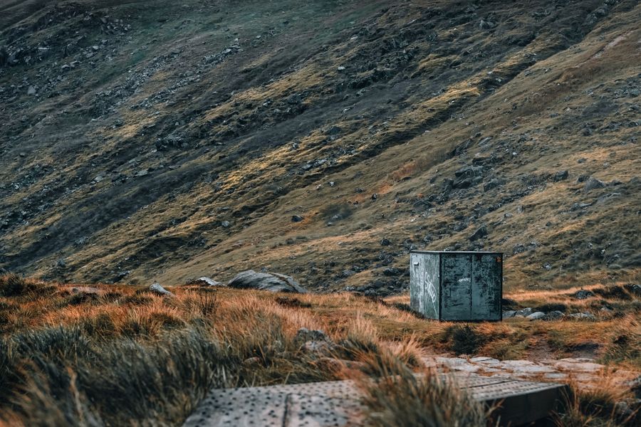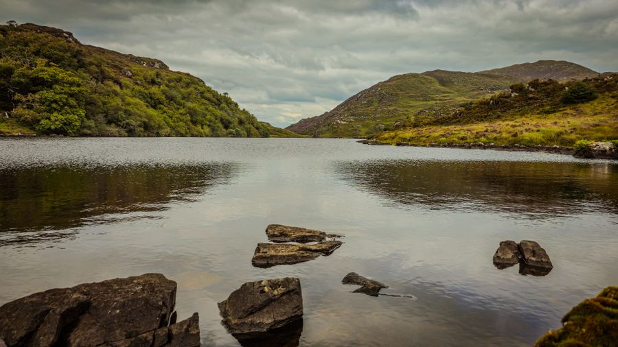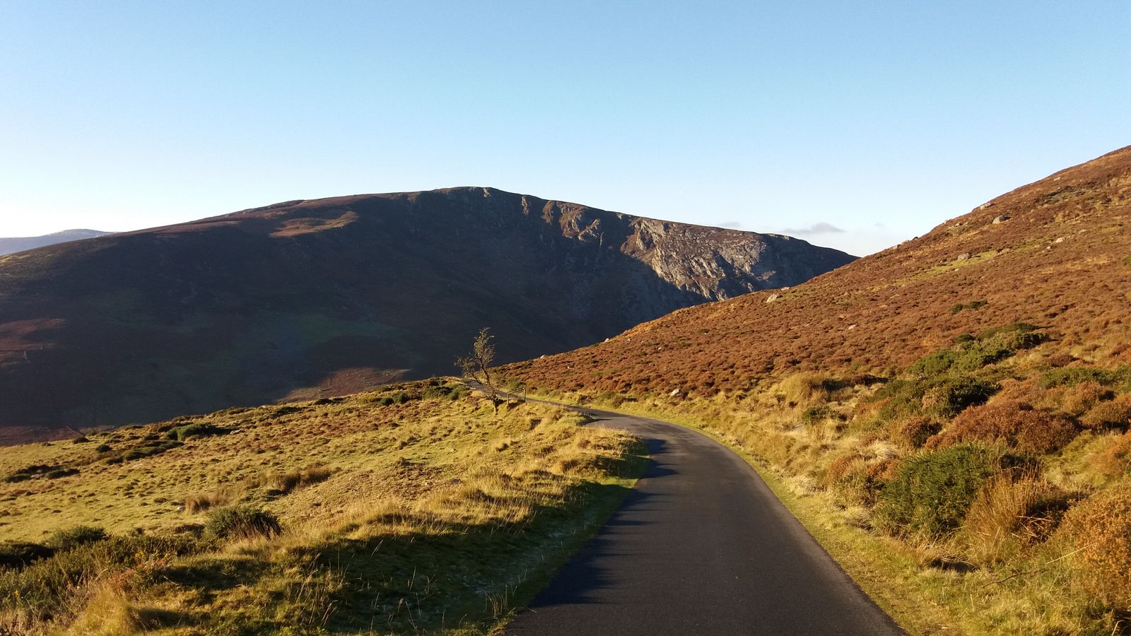
Ireland has low mountains and high weather. The hills are rarely far from a road, but cloud, wind and bog can make a short walk feel longer. Waymarked trails and open access land make planning simple, provided you check the forecast and know who looks after the ground underfoot.
Trails and access
Waymarked trails in Ireland are signed with coloured arrows on posts and waymark discs. Sport Ireland, through its trails programme, coordinates the development of these routes with local authorities and communities. The trails range from short loops on forest tracks to long-distance ways that cross several counties. Most run on public roads, forest roads or land where access has been agreed with the owner.
Access to open hills is not a general right. In the Republic, access is by permission and custom rather than a blanket right, though many upland areas are open in practice. Leave No Trace Ireland promotes responsible use, and walking groups advise sticking to established paths where they exist. In Northern Ireland, access is more formalised in some areas, but the same principle applies: check before crossing fences or entering farmland.
National parks have their own rules. The National Parks and Wildlife Service (NPWS) manages six parks in the Republic, including Wicklow Mountains and Killarney. Dogs must be kept under control, and some areas close at certain times for wildlife or farming. Check the park's own guidance before setting out, and read the signage at trailheads for local restrictions.
Check the NPWS website for park-specific rules on dogs, camping and closed areas before you travel.
Where to walk
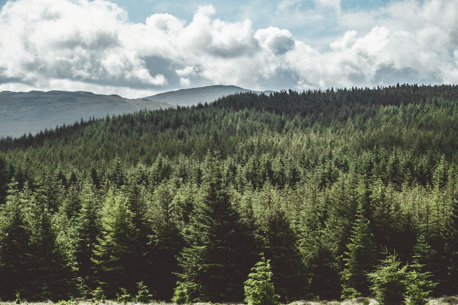
The Wicklow Mountains, south of Dublin, offer the most convenient hill walking for visitors based in the capital. Glendalough has waymarked routes from short valley walks to longer climbs, and the Wicklow Way runs from Marlay Park in Dublin to Clonegal in Carlow. The mountains are rounded rather than sharp, with wide views from the summits.
In the west, Connemara has the Twelve Bens and the Maumturks, both with open, rocky ground and few waymarks on the higher routes. The Burren in Clare offers limestone pavement walks that are short but full of interest. Killarney in Kerry has walks in the national park and access to MacGillycuddy's Reeks, including Carrauntoohil, the highest mountain on the island.
Donegal has some of the wildest and least visited hills, including the Derryveagh Mountains and the Bluestack Mountains. Sligo has Benbulbin, a flat-topped table mountain that is best walked with a guide or on a recognised route. In Northern Ireland, the Mourne Mountains in County Down and the Sperrins in County Tyrone are popular, with waymarked routes in places.
For Carrauntoohil and the Reeks, check conditions with Kerry Mountain Rescue or a local guide before setting out.
Weather and gear
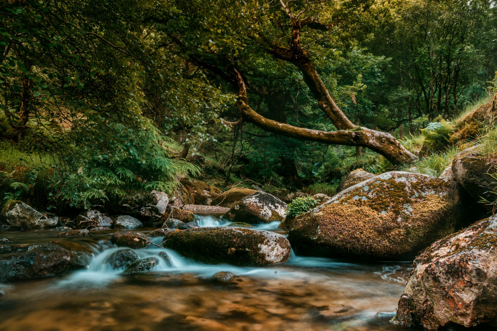
The climate is temperate oceanic, which means mild winters, cool summers and rain possible in every month. The west and the hills are wetter than the east. Cloud can cover summits while the valleys are clear, and wind chill is a factor even in summer. Met Éireann provides forecasts and issues weather warnings; check the mountain forecast before leaving.
Gear should include waterproofs, warm layers, a map and compass, and sturdy boots. A phone is useful but should not be relied on for navigation; signal is patchy in many upland areas. A head torch is sensible for shorter days. In winter, daylight in Dublin runs to about 7.5 hours in late December, so plan walks accordingly.
Bogs are common on Irish hills. They hold water and can be tiring to cross. Stick to paths where possible, and be prepared for wet ground even after a dry spell. Streams can rise quickly after rain, so take care at crossings and avoid stepping onto ground that looks firm but is not.
Safety and emergency
Mountain rescue teams in both jurisdictions respond to emergencies. The emergency number is 112 or 999 on both sides of the border. Give your location clearly, using a grid reference if possible, and stay put if you are lost unless it is unsafe to do so. Mobile coverage is not universal, so tell someone your route and expected return time.
Navigation skills matter. Many Irish hills are open and featureless, and paths can fade. A paper map and compass are essential, and a GPS device or phone app is a useful backup. If you are new to hill walking, consider a guided walk or a skills course with a recognised provider.
Leave No Trace principles apply: take your litter home, do not light fires, and keep dogs on leads around livestock and wildlife. Respect private land and close gates behind you. In lambing and nesting seasons, give animals and birds extra room and follow any signs asking you to change route.
In an emergency, call 112 or 999 and ask for mountain rescue; give your location and stay calm.
Bases and towns
For the Wicklow Mountains, Dublin city is a practical base with the widest range of transport and accommodation. Bray and Greystones on the coast are closer to the hills and have DART services. Glendalough itself has a small settlement with accommodation, but it is limited. Roundwood and Laragh are villages near the main trailheads.
In the west, Westport in Mayo is a well-established base for Croagh Patrick and the Sheefry Hills. Clifden and Letterfrack serve Connemara, with Letterfrack close to the Twelve Bens. Killarney in Kerry is the obvious base for the Reeks and the national park. Sligo town serves Benbulbin and the surrounding hills.
In Northern Ireland, Newcastle in County Down is a base for the Mourne Mountains, and Derry~Londonderry or Belfast for the Sperrins. Each has its own transport links; check with Translink for buses and trains. Remember that Northern Ireland is part of the UK, with pounds and miles, and that timetables change, so confirm before travelling.
Long-distance routes
Ireland has a network of National Waymarked Ways, long-distance trails that cross the country. The Wicklow Way is one of the most accessible, running from Dublin's suburbs into the hills. The Kerry Way loops the Iveragh Peninsula from Killarney, and the Dingle Way circles the Dingle Peninsula. These routes are waymarked but not always on paths; some sections follow minor roads.
The Western Way runs through Connemara and Mayo, and the Burren Way crosses the limestone hills of Clare. In Northern Ireland, the Ulster Way is a long-distance route that links many of the province's hills and coast. These routes are best walked in sections, with accommodation and transport planned in advance.
Wild camping is not permitted everywhere. In national parks, check the NPWS rules. On open land, camping is tolerated in some places but not others; ask locally or use designated campsites. Fires are discouraged on open ground, and stoves are the usual choice for cooking on the hill.
Bodies and resources
Sport Ireland oversees the National Trails Office, which develops and maintains waymarked trails. The National Parks and Wildlife Service manages national parks and nature reserves. In Northern Ireland, the Department for Communities and local councils look after many trails, and the National Trust cares for some upland areas such as the Giant's Causeway and parts of the Mournes.
Met Éireann provides weather forecasts and warnings for the Republic, while the Met Office covers Northern Ireland. Mountaineering Ireland is the representative body for hill walkers and climbers, offering training and advice. Leave No Trace Ireland promotes responsible outdoor ethics.
For maps, the Ordnance Survey of Ireland (OSI) and Ordnance Survey of Northern Ireland (OSNI) produce detailed maps. These are available from outdoor shops and online. A map at 1:50,000 scale is suitable for most hill walking, and a larger scale helps on complex ground.