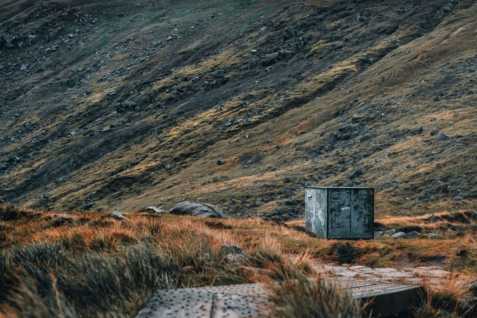
The Wicklow Way is a long-distance walking trail that leaves the edge of Dublin and heads south through the Wicklow Mountains, finishing at the village of Clonegal in County Carlow. Most people walk it over several days, staying in towns and villages along the way.
The route
The Wicklow Way runs south from the Dublin suburbs into the hills, crosses the Wicklow Mountains and continues down to Clonegal in County Carlow. It is waymarked along its length, so a walker with a map and a little care can follow it without a guide. The northern end is within reach of Dublin by public transport, which makes the trail easy to start.
The route mixes forest tracks, open hillside, quiet lanes and short stretches of public road. It passes Marlay Park in Dublin, then climbs into the hills around Glencree and the Sally Gap, crosses the high ground near Djouce and rounds the Wicklow Mountains before dropping south. Glendalough and its monastic ruins sit close to the middle of the trail.
Walking the whole way takes several days, and most people break it into stages of a comfortable length. The trail can also be walked in short sections as day walks, using the towns and villages along the way as starting points. Many visitors walk only the middle part, around Glendalough and the hills above it.
Stages and days
The trail is usually walked from north to south, starting near Marlay Park in south Dublin and finishing at Clonegal. Breaking it into daily stages lets you plan accommodation and food around the towns and villages near the route. The first day climbs out of the city and into the hills, and the middle days cross the highest and most exposed ground.
Distances between places to stay vary, and some stretches have little shelter or none. A common approach is to plan each day around a village with beds and a shop, then arrange a lift or a local bus to and from the trail where the route does not pass through the village itself. The southern end is quieter and less served by public transport.
There is no single official stage list that suits everyone. Walkers with less hill experience should keep days short at first, and anyone walking the full route should build in a rest day or a short day in the middle. The trail is not a race, and the weather often decides how far a day actually goes.
Timetables for buses serving the trail towns change with the season. Check with Transport for Ireland and the operator before fixing a day's end point.
Terrain and difficulty
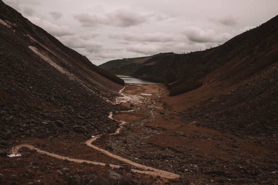
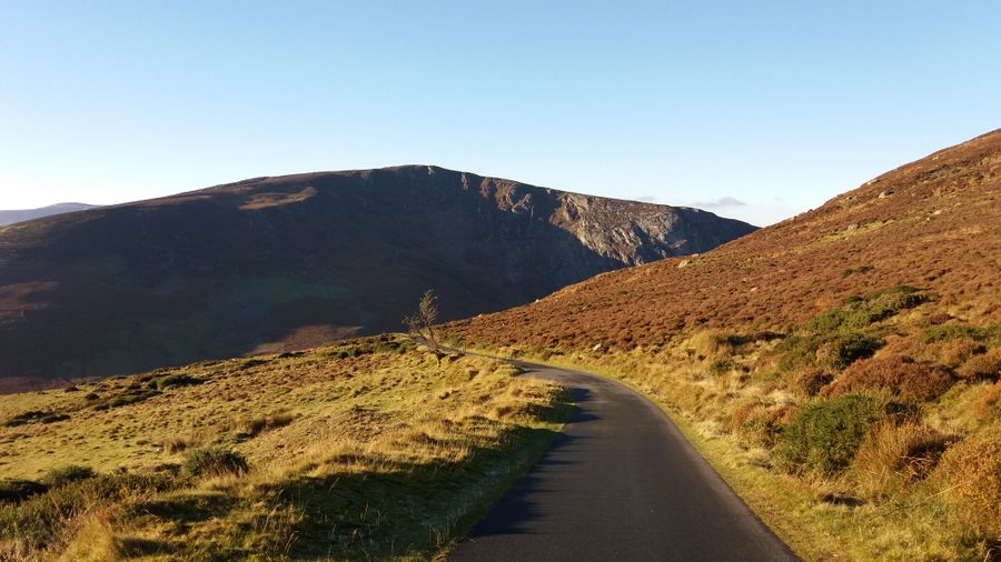
The Wicklow Way is a hillwalking route rather than a mountain climb. Most of it is on tracks, forest roads and open hillside, with some short road sections. The ground underfoot can be wet and boggy after rain, and the open stretches are exposed to wind and low cloud. None of it needs ropes or technical skill, but it does need decent footwear and a head for changeable weather.
The climbs are steady rather than steep, but they add up over a day. The high ground around Djouce and the Sally Gap is the most demanding part, and visibility there can drop quickly when cloud comes down. Walkers should be able to read a map and compass, because waymarks can be missed in mist or on forest tracks that branch.
Anyone used to lowland walking will find the days longer than the distance suggests. Fitness matters less than pacing and preparation. Short days in the middle of the route, with an early start, suit most people better than long days that finish in failing light.
Weather and seasons
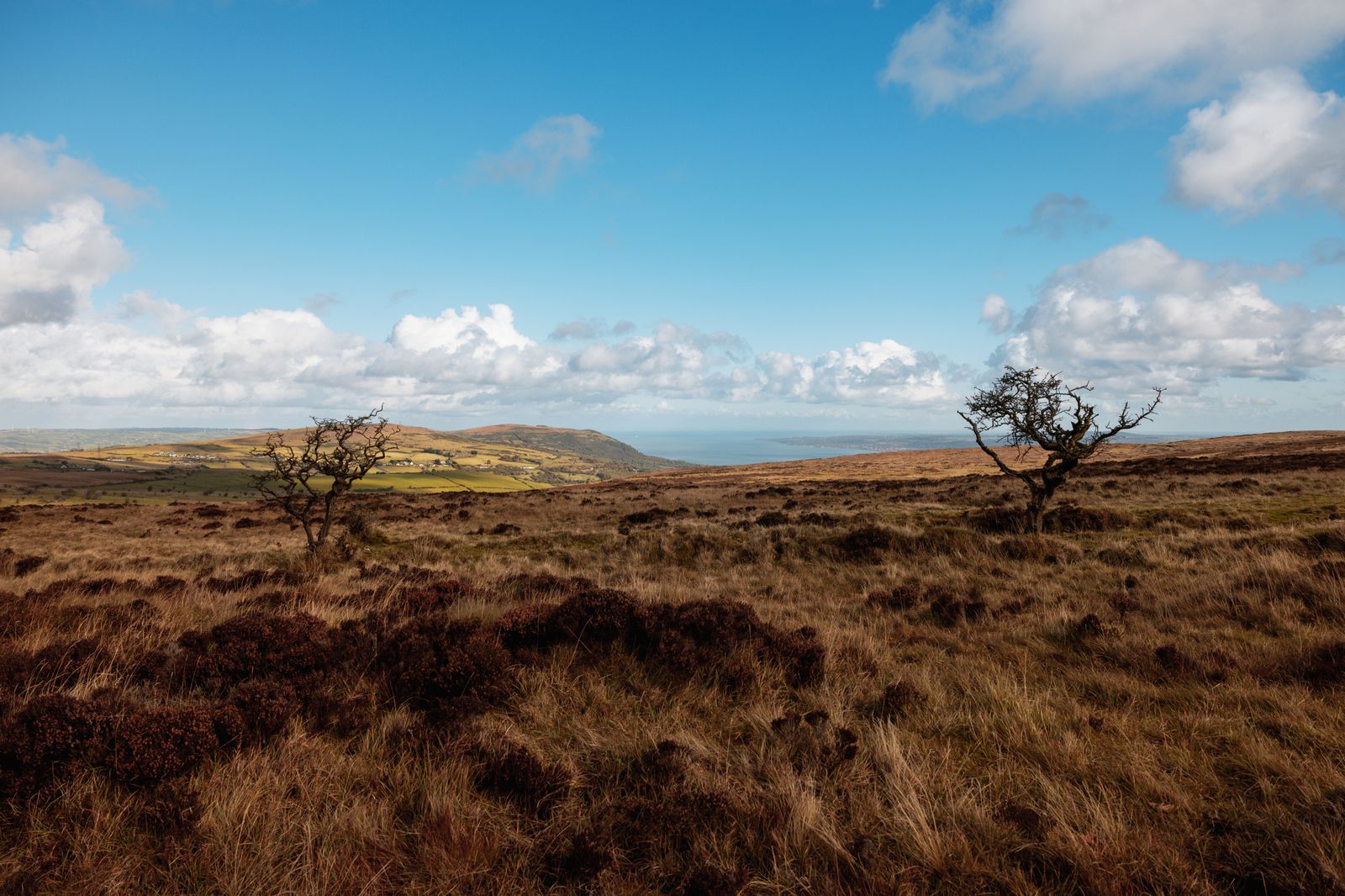
The Wicklow Mountains are wetter and windier than Dublin, and the difference is felt most on the high ground. Rain is possible in every month, and cloud can sit on the tops while the valleys are clear. The hills are exposed, so wind chill matters even in summer. Met Éireann issues forecasts and warnings, and these should be checked before setting out each day.
Summer brings the longest days, with daylight in Dublin running to about 17 hours around the June solstice. That gives plenty of walking time and makes late finishes possible. Spring and autumn are quieter and often pleasant, though the ground is wetter and the days shorter. Winter walking is possible but the daylight is limited, around 7.5 hours in late December, and the high ground can be harsh.
The best plan is to keep days flexible and to have a low-level alternative ready. Glendalough and the forest tracks around it offer shorter walks when the tops are closed in. Walking in poor visibility on the open hills is not worth forcing, and turning back is always a reasonable choice.
Met Éireann publishes mountain forecasts and weather warnings. Check them on the morning of each walk and be ready to change the plan.
Where to base yourself
The booking search on this page is set to the Wicklow region around Glendalough, which puts you close to the middle of the trail. Glendalough itself has accommodation and a monastic site, and it makes a good base for the central stages and for day walks around the two lakes. It is the most convenient single base for a short walking trip.
Enniskerry, near the northern end, is close to Dublin and handy for the first stages. Roundwood and Laragh sit near the middle of the route, and Tinahely and Shillelagh serve the southern half. Clonegal at the finish is small, so the last night is often spent in one of the towns a little to the north. Blessington and Ashford are also useful for the northern and central sections.
For a trip that mixes walking with sightseeing, basing in one place and walking sections as day trips is simpler than moving every night. Glendalough and Laragh work well for this, with short drives or lifts to trailheads. Walkers covering the whole route usually move south each day and book beds in advance, especially in summer.
Reaching the trail
The northern end of the Wicklow Way is the easiest to reach. Dublin Bus and the Luas serve the southern suburbs, and the trail can be joined near Marlay Park. From Dublin city centre, buses run south to Enniskerry and Roundwood, and Transport for Ireland's journey planner shows the options. Timetables change, so check with the operator before travelling.
Glendalough is served by bus from Dublin and from nearby towns, though services are not frequent. Laragh and Roundwood are on local bus routes, and TFI Local Link covers some rural stretches. The southern end around Clonegal and Shillelagh has fewer services, and a lift or a taxi may be needed to reach a bus or train.
A car makes the trail towns easier to reach, but it does not help on a linear walk unless you arrange a return. Many walkers use two cars, a lift, or public transport at one end. Hiring a car for the whole trip and using it only at the start and finish is a common compromise.
Glendalough and the middle
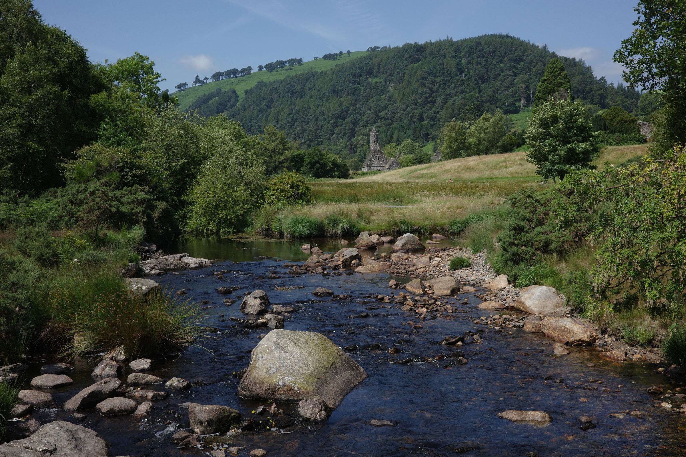
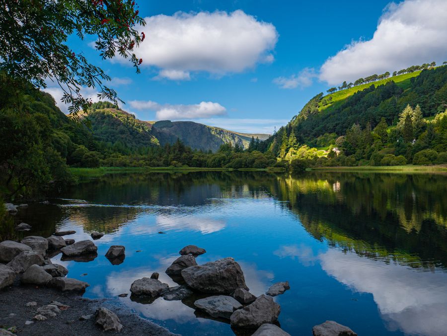
Glendalough is the best known stop on the trail and sits close to its middle. The monastic site, with its round tower and stone churches, is cared for by the Office of Public Works, and the valley has waymarked walks around the two lakes. The Wicklow Way passes above the valley, and a short detour brings walkers down to the ruins.
The ruins are free to walk around, and the visitor centre is ticketed. The valley gets busy in summer, especially at weekends, so an early start helps. The walks around the upper lake are short and popular, while the higher ground above the valley is quieter and gives a sense of the terrain the full trail crosses.
For anyone walking only part of the Wicklow Way, the section around Glendalough and the hills to the north is the most rewarding. It can be done as a day walk from Laragh or Glendalough, with a return by local bus or a lift. The National Parks and Wildlife Service manages much of the land here, and its guidance on access and dogs is worth reading before a walk.
Practical matters
Walkers should carry a map and compass, waterproofs, water and food, because shops and shelter are sparse on the high ground. Mobile coverage is patchy in the hills. The emergency number is 112 or 999 on both sides of the border, though the Wicklow Way stays in the Republic throughout. Tell someone your plan for the day and your expected finish.
Accommodation along the route should be booked ahead in summer and at weekends, when the trail towns fill up. Some places are small and close out of season. Food is available in the larger villages, but the gaps between them can be long, so a packed lunch is sensible on most days.
Dogs are allowed on much of the open ground but not everywhere, and rules differ between landholdings. The National Parks and Wildlife Service and the landowners along the route set the conditions. Leave no trace, close gates and keep to the waymarked line where the trail crosses farmland.