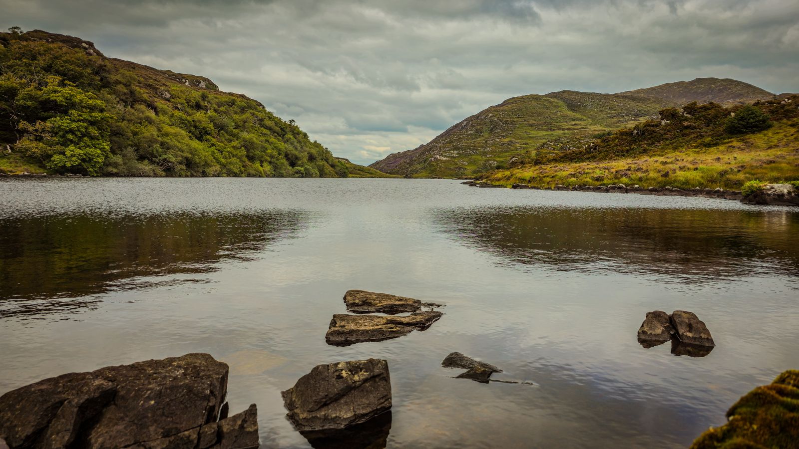
The Republic of Ireland has six national parks, spread from Donegal to Kerry and from Mayo to Wicklow. Each protects a different landscape: oak woodland, blanket bog, limestone pavement, mountain. They are free to walk in, open through the year, and run by the National Parks and Wildlife Service.
What a national park is
A national park in the Republic is land held for nature conservation and public access, managed by the National Parks and Wildlife Service, or NPWS, which answers to the Department of Housing, Local Government and Heritage. The parks are not fenced off or ticketed at the gate. You can walk in at any hour, and there is no charge for entry.
What the designation protects is the habitat: the woodland, the bog, the mountain heath, the limestone. Farming, grazing and traditional land use continue in places, and some parks contain working farmland and private holdings. The park boundary is a line on a map rather than a wall, so ordinary roads, houses and farms sit inside or beside several of them.
Northern Ireland has no national parks. Its protected landscapes are designated differently, as areas of outstanding natural beauty, and the Giant's Causeway and its coast are cared for by the National Trust. If you are touring both jurisdictions, the practical rules for walking and access are similar, but the bodies to check differ, and Northern Ireland uses pounds and miles.
Killarney, County Kerry
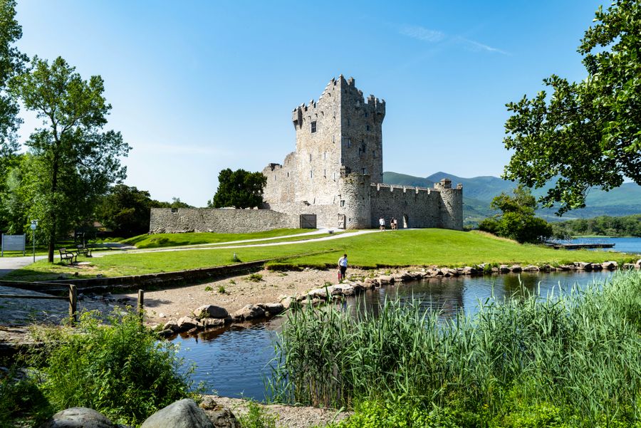
Killarney National Park covers around 10,000 hectares of mountain, lake and oak woodland just west of Killarney town. It holds the lakes, the Muckross estate, Torc Mountain and the MacGillycuddy's Reeks beyond. Much of the oak woodland is old, and the park is one of the few places where native red deer still roam freely.
The main gateway is Killarney itself, which has the widest choice of beds and the best transport links in the region. Kenmare to the south and Killorglin to the north are quieter alternatives for a night or two. Muckross House and its gardens sit inside the park and are ticketed; the grounds and walks around them are free to walk.
Walking is straightforward on the signposted routes, including the paths around Muckross and the climb to Torc. Cycling is popular on the roads through the park, though they are shared with coaches and cars. The Gap of Dunloe lies just outside the park boundary and is best reached on foot or by bike in season.
Killarney is the natural base. Book beds early in summer, and check the NPWS site for temporary path or road closures before setting out.
Glenveagh, County Donegal
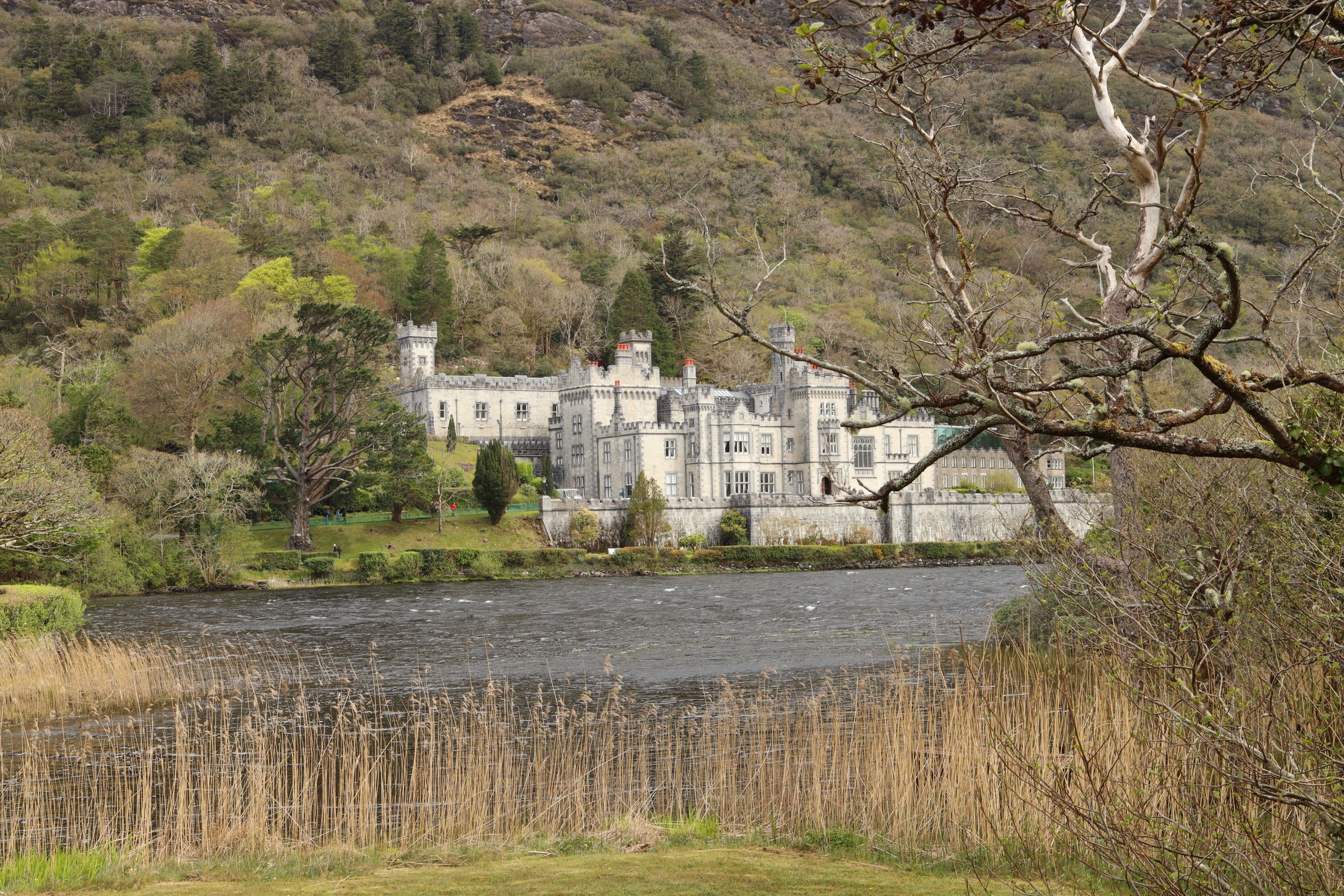
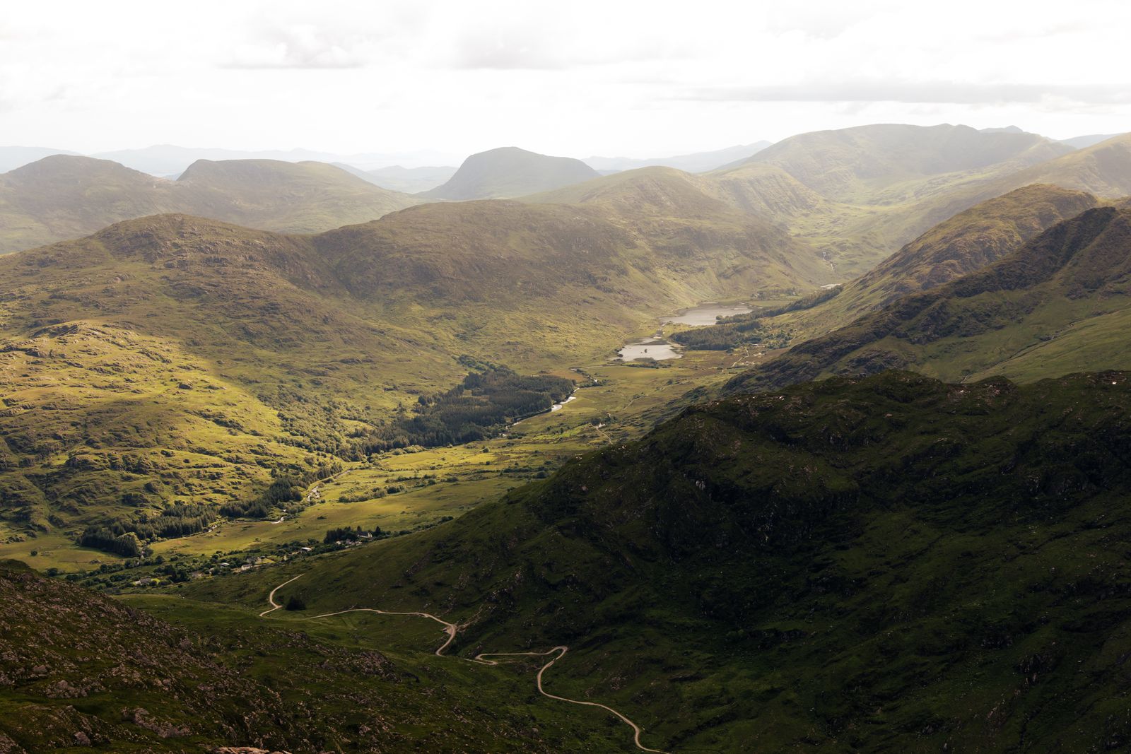
Glenveagh National Park lies in the Derryveagh Mountains of north Donegal, a remote expanse of blanket bog, mountain and native woodland around a long glacial valley. The park holds a castle and walled garden at the valley head, reached by a shuttle or on foot along a lakeside road.
The nearest town of any size is Letterkenny, about half an hour away by road, with the widest range of accommodation and services. Dunfanaghy and Falcarragh on the coast are smaller and closer, and make a good base if the park is the main purpose of the trip. Gweedore and the Gaeltacht villages lie to the west.
The park is a stronghold for golden eagle reintroduction, and the uplands are managed for that and for the blanket bog. Walks range from the easy lakeside route to the castle to longer hill routes on the surrounding peaks. Weather changes quickly here, and the ground is wet underfoot in every season.
The castle and garden are ticketed and run to seasonal hours. Check the NPWS site before travelling, as the shuttle and opening times change through the year.
Connemara, County Galway
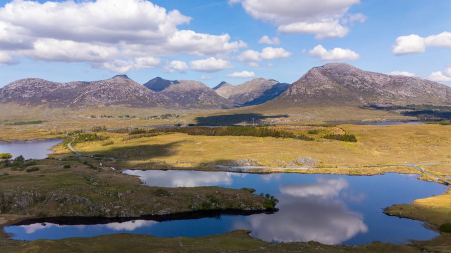
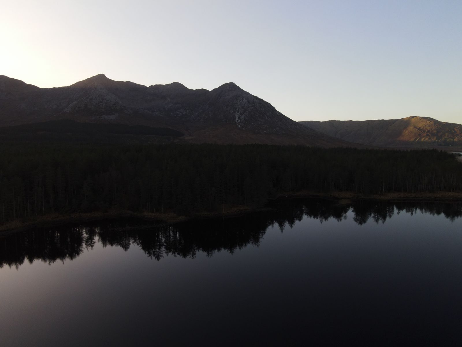
Connemara National Park sits near Letterfrack in west Galway, on the slopes of the Twelve Bens. The park protects blanket bog, heath and mountain, and holds a visitor centre with displays on the landscape and its wildlife. The main walking routes climb from the valley floor to viewpoints over the coast and islands.
Clifden is the largest town in the area and a good base for the park and the wider Connemara coast. Letterfrack and Leenane are smaller and closer to the park entrances. Galway city is about an hour and a half away and works as a day-trip base, though the park rewards a stay of a night or two.
The park is one of the best places on the island to see blanket bog close up, with its pools, heather and cotton grass. The Twelve Bens beyond the park boundary offer harder hill walking, and the waymarking there is less consistent. Rain is frequent, and the ground holds water, so boots rather than trainers are the sensible choice.
The Burren, County Clare
The Burren National Park is a small park within the much larger limestone landscape of north Clare. It protects limestone pavement, rare wildflowers and the archaeological remains that sit on and under the rock. The park is reached on foot from a car park near Carran, and there is no visitor centre inside it.
Doolin and Ballyvaughan are the usual bases on the coast, and Ennis and Galway city are within reach for a day. The Burren is farmed, and much of the landscape outside the park boundary is private land crossed by waymarked routes. Staying on the marked paths protects both the plants and the goodwill of landowners.
The wildflowers are the reason many visitors come, and they are best in late spring and early summer. The limestone holds heat and the ground is well drained, so the walking is easier than in the western bogs. Bring water, as there is little shade and few streams on the pavement.
Park at the designated car park and follow the waymarked loop. Check the NPWS site for route updates, and carry water, as the limestone offers no shelter.
Wicklow Mountains
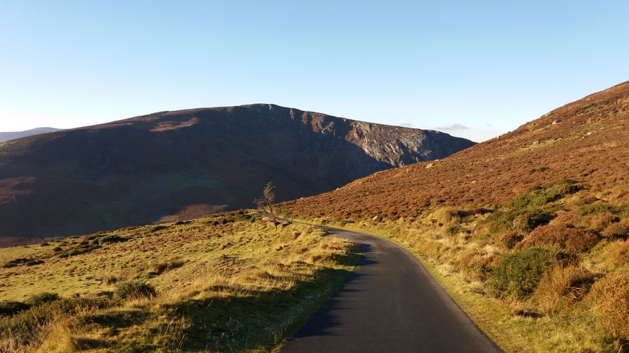
The Wicklow Mountains National Park covers a large upland area south of Dublin, including Glendalough, the Upper Lake valley and stretches of blanket bog and conifer forest. It is the most accessible of the parks from the capital, and the most heavily visited.
Glendalough has the monastic ruins, two lakes and a visitor centre, and is the busiest entry point. Laragh and Roundwood are small bases close by, while Dublin and the towns of north Wicklow work for day trips. The Wicklow Way long-distance route crosses the park and links a series of villages along its length.
The uplands are used for walking, hill running and recreation, and the park manages erosion on the popular routes. Some paths are repaired with stone and boarded sections, and walkers are asked to keep to them. The military range at the western edge of the hills can close routes at short notice, so check before planning a crossing.
Wild Nephin, County Mayo
Wild Nephin National Park lies in north Mayo, west of Ballina, and protects a large area of blanket bog and the Nephin Beg mountains. It is the least developed of the parks, with few facilities and long stretches of open ground. The park includes the Owenduff bog, one of the best examples of Atlantic blanket bog in the country.
Ballina and Bangor Erris are the nearest towns, and Westport is a reasonable base for the wider area. Services are thin, and a car is close to essential for reaching trailheads. The park is also a designated dark sky area, and the night sky is a reason to stay overnight nearby.
Walking here is on open mountain and bog, often without waymarking on the longer routes. Navigation skills and a paper map are needed, and the ground is wet in all weather. The park is not the place for a casual afternoon stroll without preparation.
Rules and practicalities
Camping is not permitted in the parks except in designated areas, and open fires are banned. Dogs are allowed on many routes but must be kept under control, and are best left at home on farmland and during the lambing and nesting seasons. Litter, including food waste, should be carried out.
Most parks have car parks that fill early on fine weekends and public holidays. Gates and visitor centres keep seasonal hours, and some routes close for management or weather. Check the NPWS site before travelling, and note that the emergency number is 112 or 999 on both sides of the border.
The weather is temperate and changeable, and rain is possible in every month. The west and the hills are wetter than the east. Bring waterproofs and boots, and tell someone your route on longer walks. Daylight runs from about 17 hours around midsummer to about 7.5 hours in late December, which limits winter walking.