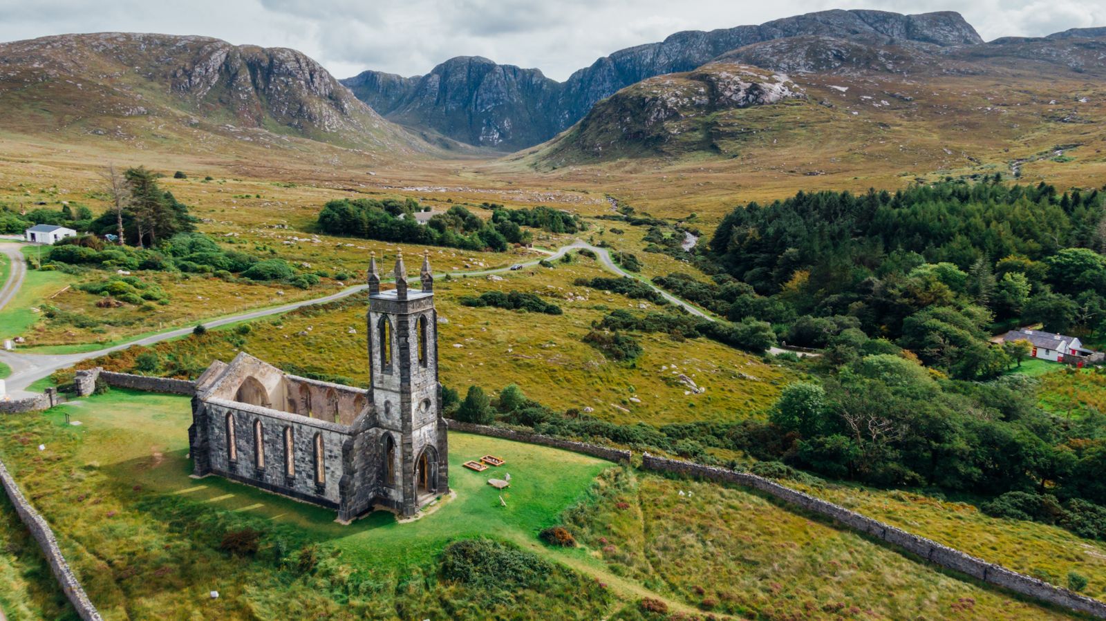
The Inishowen 100 is a waymarked driving route around the Inishowen Peninsula, the northern part of County Donegal. It links coastal villages, long beaches and the cliffs at Malin Head, the most northerly point on the island of Ireland. The roads are narrow in places and the weather changes quickly.
What the route is
The Inishowen 100 is a signposted touring loop, marked on the ground with brown and white route signs. It circles the peninsula rather than following a single road, so you can drive it in either direction and join it at several points. The name refers to a distance in kilometres, though the exact figure depends on the detours taken.
Inishowen is the northern part of County Donegal, bounded by Lough Foyle to the east, Lough Swilly to the west and the Atlantic to the north. It is in the Republic of Ireland, so distances are in kilometres and the currency is the euro. The border with Northern Ireland runs along Lough Foyle and across the north of the peninsula.
The route is a driving itinerary, not a closed circuit with a start and finish. Most visitors pick it up from the roads out of Derry~Londonderry or Letterkenny, or from the villages along the coast. Signage is good at junctions but thin on open ground, so a map or a charged phone helps on the quieter stretches.
The peninsula is mostly farmland and small settlements, with few large towns. Fuel, food and shelter are concentrated in a handful of places, and some smaller places close out of season. Filling the tank and carrying water before setting off is sensible, particularly on the northern and western sides.
Malin Head and the north
Malin Head is the northern tip of the peninsula and the most northerly point on the island of Ireland. The headland has a signal tower built in the Napoleonic era, a weather station and a viewing area above the cliffs. On a clear day the hills of Donegal and the Scottish coast can be picked out.
The cliffs here are exposed and the ground is uneven. Paths run along the clifftop but there are no barriers in many places, and the wind can be strong even when the weather lower down is calm. Sturdy footwear and a waterproof layer are worth carrying. The car park is small and fills on fine summer days.
Nearby, the natural arch known as Hell's Hole opens in the cliffs below the headland, reached on foot along a rough path. The area around Malin Head is also known for its dark skies, and the Irish night sky here is a draw for stargazers when cloud allows.
The village of Malin sits a few kilometres to the east, with a broad main street and a heritage centre in the old courthouse. The road continues east to Culdaff and its beach, then south towards Moville on the shore of Lough Foyle.
Clifftop paths at Malin Head are unfenced. Check the weather forecast with Met Éireann before walking, and keep back from the edge in wind.
The eastern shore
The eastern side of the peninsula follows Lough Foyle from Malin Head south towards Derry~Londonderry. The road passes through Moville, a small town with a long waterfront, and Greencastle, a fishing port with a harbour and a maritime museum. Ferries have crossed the lough here to Magilligan in County Londonderry.
Greencastle is a working port, and the harbour is a good place to watch boats come and go. The coast here looks across the water to the Northern Ireland shore, and the border runs down the middle of the lough. There are no routine checks on the roads, but the jurisdiction changes when you cross by land.
Inishowen Head, north of Greencastle, has a short walking route to a cliff viewpoint. The headland looks north towards the Scottish islands, and the walk is manageable in an hour or so. The ground is rough in places and the route is not waymarked throughout.
Further south the road reaches Muff and the outskirts of Derry~Londonderry. The city is just across the border in Northern Ireland, where pounds sterling and miles apply. It makes a practical base for the eastern end of the peninsula, with a wider choice of accommodation and transport than the villages.
The western shore
The western side of Inishowen faces Lough Swilly, a long sea inlet that separates the peninsula from the Fanad peninsula. The road runs south from Malin Head through Malin, Carndonagh and Buncrana, with views across the water to the hills beyond.
Carndonagh is the main town of the peninsula, with a crossroads square, shops and services. The town has a high cross and two smaller crosses in the old churchyard, carved stones that date from the early Christian period. They are free to visit and stand beside the road.
Buncrana is the largest town on the peninsula, set on the shore of Lough Swilly with a long promenade and a beach. It has the widest range of accommodation, places to eat and public transport on Inishowen, and the ferry to Rathmullan across the lough runs in season.
South of Buncrana the road reaches Burnfoot and Bridgend, close to the border and to Letterkenny. The western shore is the busier and more built-up side of the peninsula, and it makes the easiest base if you want shops, buses and a choice of places to stay.
Inland and the gaps
The interior of Inishowen is hill country, with the Urris Hills and Slieve Snaght rising between the two coasts. The route does not stay on the coast throughout, and some of the best stretches cross the higher ground in the middle of the peninsula.
Mamore Gap is a pass between the hills on the road from Buncrana towards Clonmany, with views down to the coast on both sides. The road is steep and narrow in places, and passing places are needed when vehicles meet. It is not a route for a large vehicle or a nervous driver.
The Inishowen uplands are blanket bog and rough grazing, with few trees and long views. The ground is soft and wet underfoot, and walking off the road needs waterproof boots and a map. Access is limited and some land is private.
The interior roads connect the coast roads and make shorter loops possible if time is limited. A half day covers the eastern shore and Malin Head, while a full day allows the whole circuit with stops. Distances are modest but the roads are slow.
Beaches and the coast
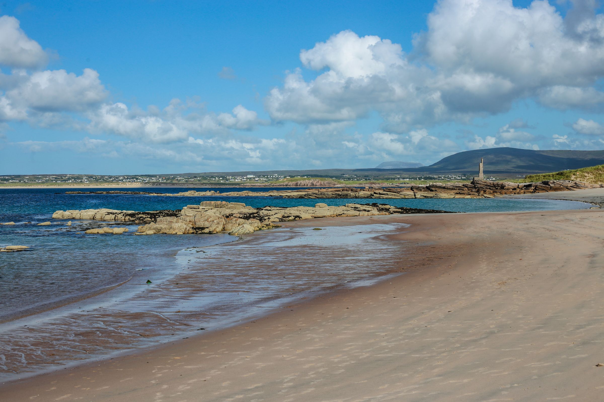
Inishowen has a series of sandy beaches on both coasts. Culdaff and Tramore on the east side and Pollan Bay near Ballyliffin on the north coast are broad strands backed by dunes. They are popular for walking and, in summer, for swimming and watersports.
The water is cold at any time of year and the Atlantic swell can be strong. Swimming is safest at beaches with lifeguards in the summer season, and the flags mark the patrolled area. Check locally before entering the water, and never swim alone at an unpatrolled beach.
The beaches are also good places to watch birds. Wading birds and gulls feed along the tideline, and the dunes hold nesting species in spring. BirdWatch Ireland has information on species and on where to watch without disturbing nesting birds.
Ballyliffin, near Pollan Bay, is a small village with a strand and a links golf course. The coast road from here west towards Malin Head passes through Clonmany and the Urris Hills, with views across to the Fanad peninsula.
Lifeguard cover on Donegal beaches runs mainly in summer. Check with Water Safety Ireland for current arrangements before swimming.
Driving and practicalities
Traffic drives on the left throughout the island. The roads on Inishowen include single-track sections with passing places, and farm vehicles are common. Speeds are lower than the signs suggest on the narrower stretches, and the route takes longer than the distance implies.
The peninsula is in the Republic of Ireland, so the speed limits are in km/h and fuel is sold in litres for euro. Cross the border into Northern Ireland and the limits change to mph and fuel to pounds sterling. There are no routine checks at the border, but the rules and signs change.
Public transport on the peninsula is limited. Bus Éireann and TFI Local Link run some services to the main towns, and the cross-border routes connect Derry~Londonderry with Letterkenny. Timetables change, so check with the operator before relying on a bus.
Fuel stations are concentrated in Carndonagh, Buncrana and the larger villages, with few options on the northern coast. Mobile signal is patchy in the hills and on parts of the coast. Carrying a paper map and some cash is a sensible backup.
Where to base yourself
Buncrana is the largest town on the peninsula and the most practical base for a first visit. It has the widest choice of accommodation and places to eat, a beach and promenade, and bus links to Letterkenny and Derry~Londonderry. The route can be joined from the town in either direction.
Carndonagh sits at the crossroads of the peninsula and suits a stay split between the two coasts. Malin, Culdaff, Moville and Greencastle are smaller and quieter, with a handful of places to stay and eat, and they suit a short stay focused on the north and east.
Letterkenny, just outside the peninsula to the west, is the largest town in County Donegal and has the widest range of services and transport links. Derry~Londonderry, across the border in Northern Ireland, is convenient for the eastern shore and has its own airport and rail links.
Wherever you stay, the choice affects the driving. A base in Buncrana or Carndonagh keeps the loop within a day, while a base in Letterkenny or Derry~Londonderry adds a commute at each end. Book ahead in summer, when the coast is busiest.